River
Euphrates
2,800 km from source to mouth · Iraq, Turkey and Syria.
 Iraq, Turkey and SyriaFlows into Shatt al-Arab1st longest in Iraq
In numbers
Length
2,800km
Average flow
820m³/s
Basin
673,000km²
Drop
1,384m
from 1,384 m to 0 m
Countries
3
The journey
From source to mouth
2,800 km of river and 60 stops on the way: 33 towns and cities on its banks, dams, bridges and the tributaries that feed it.
- 0 kmSourceat 1,384 m
- 0 kmTercan12,235 people
- 251 kmYuva47 people
- 252 kmToybelen95 people
- 320 kmMurat Rivertributary
- 328 kmKeban Reservoir399 km²
- 440 kmKömürhan Bridge
- 492 kmKarakaya Reservoir195 km²
- 493 kmKarakaya Dam
- 684 kmAtatürk Reservoir695 km²
- 685 kmAtatürk Dam
- 789 kmBirecik Reservoir35 km²
- 791 kmEuphrates Viaduct
- 803 kmBirecik44,284 people
- 803 kmBirecik Bridge
- 825 kmKarkamış Reservoir23 km²
- 831 kmKarkamış Bridge
- 831 kmJarābulus24,997 people
- 852 kmSayur Brooktributary
- 876 kmQal'at Najm
- 903 kmTishrin Reservoir157 km²
- 904 kmTishrin Dam
- 912 kmQabbāsīn12,000 people
- 1,004 kmAl-Tabqa87,880 people
- 1,005 kmEuphrates Lake637 km²
- 1,006 kmEuphrates Dam
- 1,029 kmKadiran Dam
- 1,060 kmAr Raqqah531,952 people
- 1,068 kmBalikh Rivertributary
- 1,228 kmDeir ez-Zor271,800 people
- 1,228 kmDeir ez-Zor suspension bridge
- 1,274 kmKhabur Rivertributary
- 1,293 kmAl Mayādīn54,534 people
- 1,325 kmSubaykhān25,514 people
- 1,361 kmHajīn29,237 people
- 1,392 kmAs Sūsah8,797 people
- 1,403 kmĀlbū Kamāl57,572 people
- 1,411 kmAl Qā’im74,100 people
- 1,562 kmRāwah13,000 people
- 1,563 km‘Anat al Qadīmah19,719 people
- 1,578 km‘Anah27,000 people
- 1,643 kmLake Qadisiyah339 km²
- 1,654 kmḨadīthah30,925 people
- 1,775 kmHīt31,901 people
- 1,842 kmRamadi223,500 people
- 1,913 kmKing Faisal Bridge
- 1,913 kmAl Fallūjah190,159 people
- 1,913 kmNew Bridge
- 1,998 kmJurf Al Sakhar Bridge
- 2,033 kmAl-Musayab101,873 people
- 2,042 kmSaddat al Hindīyah35,720 people
- 2,065 kmAl Hindīyah139,578 people
- 2,076 kmEuphrates Tunnel
- 2,134 kmKufa110,000 people
- 2,165 kmAl Mishkhāb23,189 people
- 2,204 kmNāḩiyat ash Shināfīyah22,643 people
- 2,296 kmAs Samawah152,890 people
- 2,429 kmNasiriyah541,600 people
- 2,493 kmNāḩiyat al Fuhūd21,551 people
- 2,553 kmAl Madīnah255,000 people
- 2,576 kmAl Qurnah134,174 people
- 2,800 kmShatt al-Arabat 0 m
Water level along the river (RiverATLAS; the height is exaggerated). Towns: GeoNames and Wikidata; bridges, dams and tributaries: Wikidata.
River in Asia
At the mouth it carries 818 m³/s on average: an Olympic pool every 3.1 seconds. It drops from 1,384 m to 0 m, 0.5 m per kilometre on average. Its basin covers 673,000 km², about the size of MM. 21.7 million people live in it. Highest water: from February to March; lowest: from July to October. It is heavily dammed: reservoirs can hold 775% of a year's flow.
Where to start
- NasiriyahLargest city on its banks · 541,600 people
- Basra International Airport (BSR)Nearest airport with scheduled flights, 145 km from the city
- On the water9 ferry piers, marinas, boat rentals and boat ramps along the river (OpenStreetMap)
- From April to May and from October to NovemberThe best months to visit
Euphrates, month by month
Highest water: from February to March
Lowest water: from July to October. Best months to visit: from April to May and from October to November.
From about 170 m³/s in the lowest month to 2,200 m³/s in the highest. An estimate: the monthly flow is modelled from the lowest and highest months of WaterGAP (RiverATLAS, 1971–2000) and the rain and snow along the river (WorldClim). Dams change the real rhythm. The chip is the average air temperature; below it, the month's rain.
Plan the trip
Plan the trip: boat trips, a bed by the river, a car
Some links above are affiliate links: if you book through them we may earn a commission, at no extra cost to you. It never changes what the data on this page says.
The basin
Euphrates: the basin in numbers
463,867 km² of land send their water to this river. This is what lives on it.
- 21.7millionpeople live in the basin
- 47/km²people per km²
- 601maverage altitude of the basin
- 256mmof rain a year (basin average)
- 18.2°Caverage air temperature
- 3%protected areas
- 1.3%covered by lakes
- 185km³held in reservoirs
What covers the basin
- 15% Cropland
- 21% Pasture
- 1% Towns and cities
RiverATLAS (HydroATLAS v1.0, CC BY 4.0): land cover, people, protected areas, glaciers and dams over the whole basin upstream of the mouth.
Along the river
Euphrates: what you find on the way
- 16Weirs
- 47WaterfallsAbu Aishush and 46 more
- 9Ferry piersŞehit Fethi Sekin İskelesi, Battalgazi İskelesi, Feribot İskelesi and 6 more
From OpenStreetMap, within 2.8 km of the river. Not mapped is not the same as not there.
Cross-checked with our atlases
Euphrates in our other atlases
What our sister atlases know about the waterfalls on this river, the lakes it flows through, the beaches at its mouth, the mountains where it rises and the islands off its mouth.
 8lakes on its wayLakeyas
 1mountain at the sourcePeakyas
Lakes and reservoirs (8)
Lakes it flows through, by Lakeyas
- Keban Reservoirkm 296399km²
- Karakaya Reservoirkm 444195km²
- Atatürk Reservoirkm 616695km²
- Birecik Reservoirkm 71135km²
- Karkamış Reservoirkm 74323km²
- Tishrin Reservoirkm 814157km²
- Euphrates Lakekm 905637km²
- Lake Qadisiyahkm 1,480339km²
Lakeyas is coming soonOpen Lakeyas ↗
From space
The source and the mouth, seen from orbit
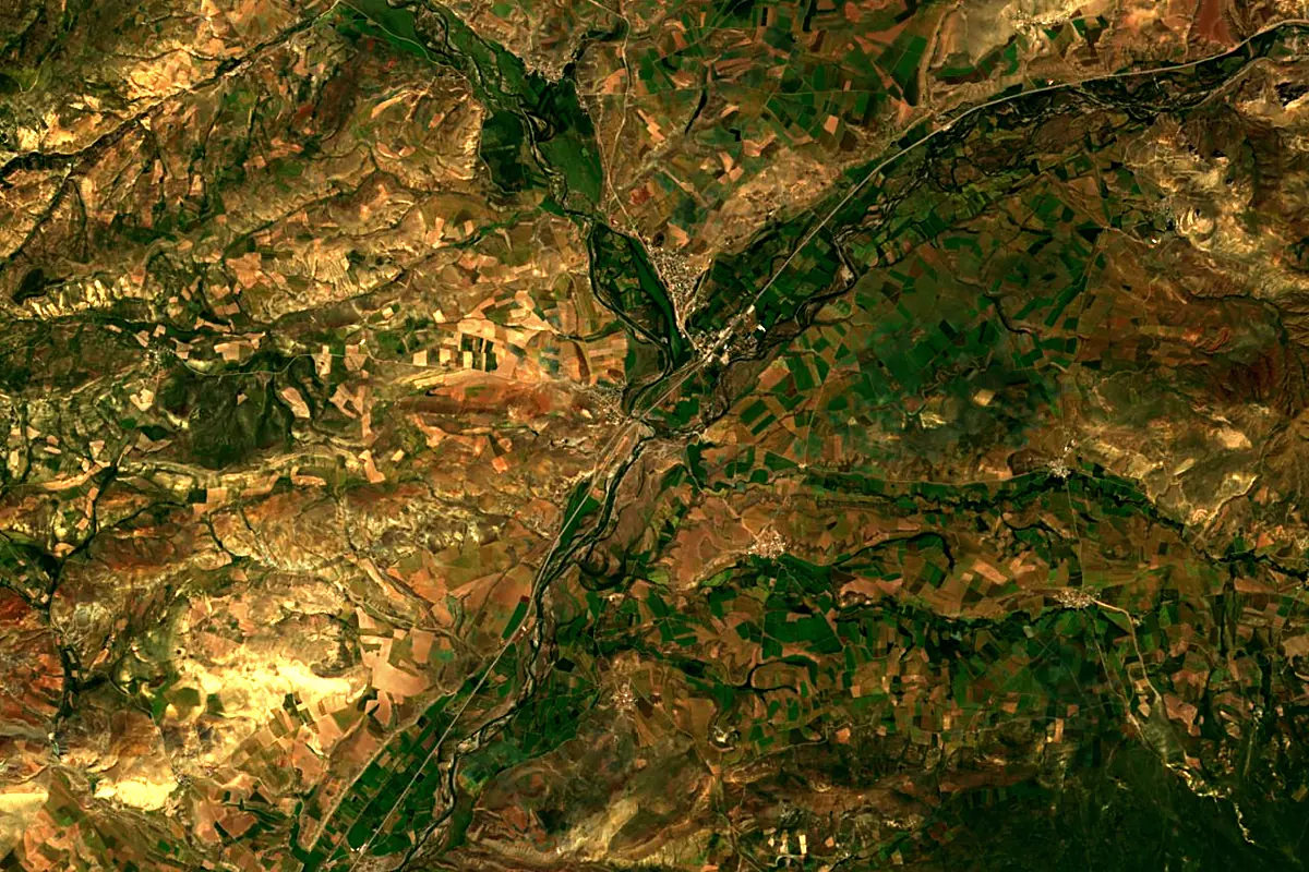
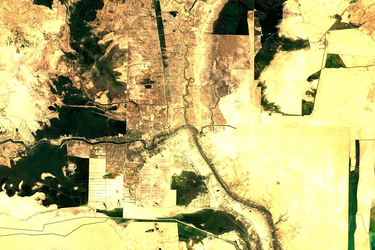
Sentinel-2 cloudless 2016 by EOX IT Services GmbH (contains modified Copernicus Sentinel data 2016), CC BY 4.0. The glowing line is the river as drawn by RiverATLAS.
Photos
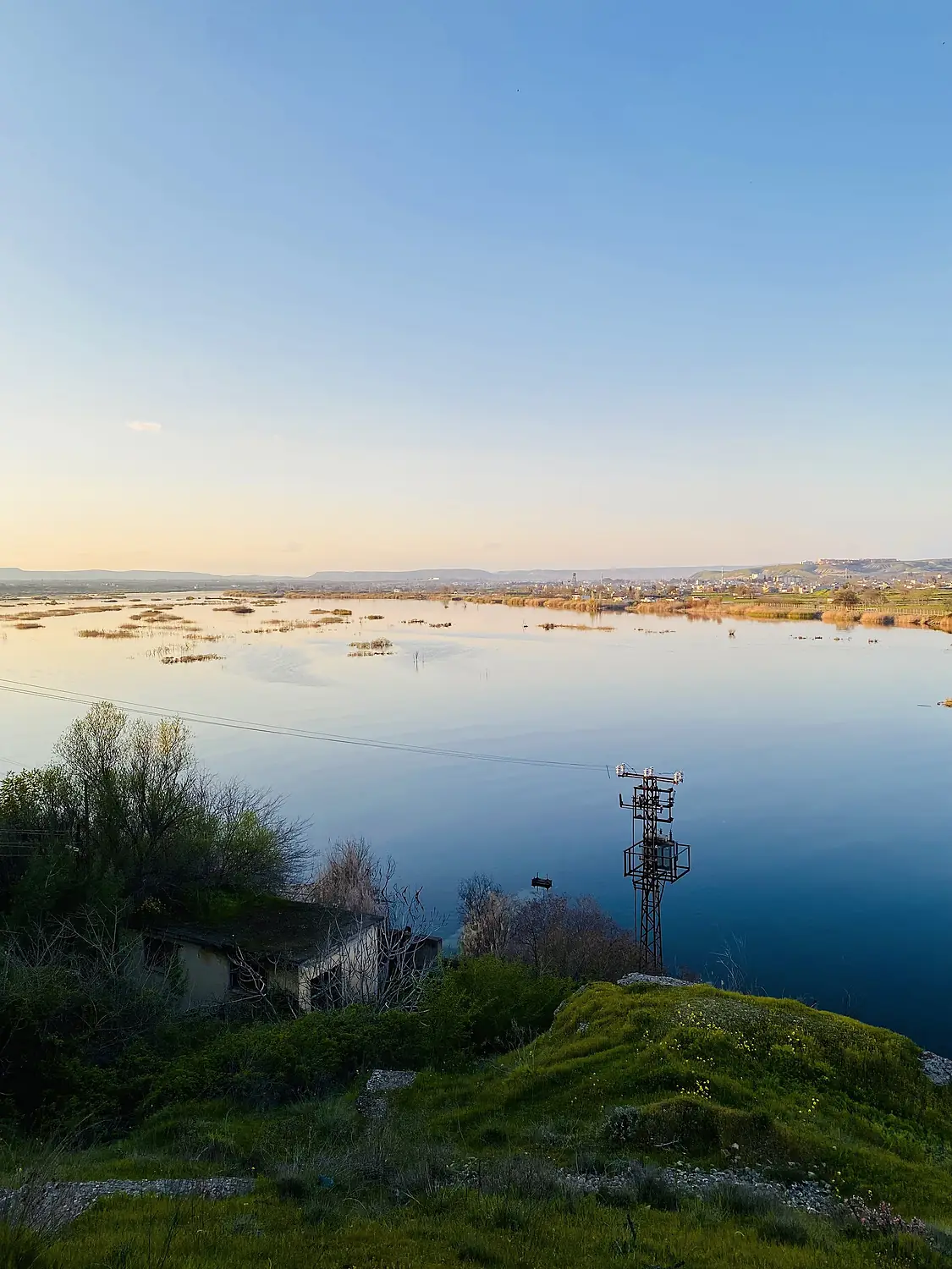
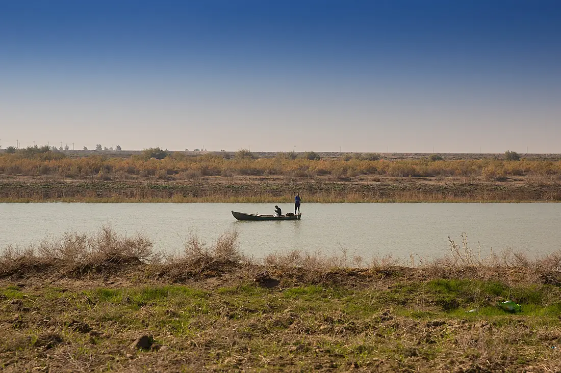
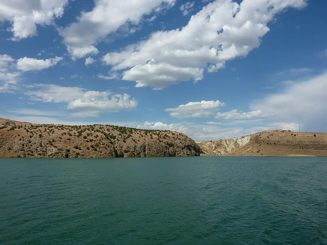
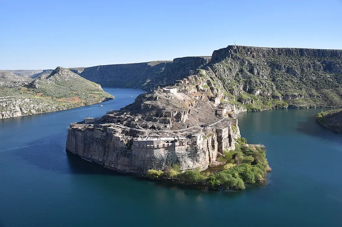
Euphrates in pictures
Tributaries
Where it flows, and what flows into it
It flows into
Shatt al-ArabIraq200 km1,500 m³/sTributaries (6)
Turkey722 km400 m³/sjoins at km 288Khabur RiverSyria486 km70 m³/sjoins at km 1,147Balikh RiverSyria100 km15 m³/sjoins at km 962Also: Karasu River, Sayur Brook, Kadıgölü
 Iran
IranWhere these numbers come from
| Name, length, places | Wikidata (Q34589) · CC0 |
|---|---|
| Course, profile, basin | RiverATLAS v1.0 (HydroATLAS, Linke et al. 2019) · CC BY 4.0 — followed from the source to the mouth given by Wikidata |
| Flow | WaterGAP (RiverATLAS), 1971–2000 · CC BY 4.0 |
| Climate along the river | WorldClim (RiverATLAS), 1970–2000 · CC BY 4.0 |
| Towns, bridges, dams | Wikidata · CC0; GeoNames · CC BY 4.0 |
| Along the river | © OpenStreetMap contributors · ODbL |
| Images | EOX Sentinel-2 cloudless 2016 · CC BY 4.0; Wikimedia Commons |
| Our other atlases | Lakeyas, Peakyas — Wikidata · CC0; © OpenStreetMap contributors · ODbL; GeoNames · CC BY 4.0; HydroLAKES · CC BY 4.0; NOAA OISST |
Every source and licence is on the data sources page.
The family
Do you prefer beaches, lakes, mountains, waterfalls, islands, rivers or canyons?
Same idea, other landscapes: field atlases built on open data, month by month, in seven languages.
 beaches
 Find your beach: sea temperature, sun and swimming month by month.Visit lakes
 Every lake on Earth: water temperature, ice, depth and the shore.Coming soonVisit mountains
 Every summit in 3D: summit weather, the 0 °C line, huts and trails.Visit
  waterfalls
 Every waterfall: height, flow month by month and when it roars.Coming soonVisit
  islands
 Every island from the sea up: size, sea temperature, ferries and 3D.Coming soonVisit
  rivers
 Every river from source to sea: the journey, the flow and the basin in numbers.You are here
 canyons
 Every canyon cut to scale: depth to the floor, rim and floor temperatures, trails and viewpoints.Coming soonVisit