River
Los Angeles River
77 km from source to mouth · United States.
 United StatesFlows into Pacific Ocean
In numbers
Length
77km
Average flow
6.0m³/s
Basin
2,142km²
Drop
242m
from 242 m to 0 m
Country
1
The journey
From source to mouth
77 km of river and 38 stops on the way: 19 towns and cities on its banks, dams, bridges and the tributaries that feed it.
- 0 kmSourceat 242 m
- 1 kmCanoga Park60,578 people
- 4 kmWinnetka47,000 people
- 7 kmReseda65,000 people
- 11 kmEncino44,581 people
- 16 kmSherman Oaks52,677 people
- 21 kmStudio City34,034 people
- 25 kmUniversal City105,000 people
- 27 kmTujunga Washtributary
- 30 kmRiverside-Zoo Drive Bridge
- 33 kmGlendale201,020 people
- 34 kmLa Kretz Bridge
- 34 kmVerdugo Washtributary
- 36 kmGlendale-Hyperion Bridge
- 36 kmSilver Lake Reservoir0.3 km²
- 36 kmAtwater Village15,455 people
- 37 kmFletcher Drive Bridge
- 41 kmArroyo Secotributary
- 42 kmNorth Broadway Bridge
- 42 kmNorth Spring Street Bridge
- 42 kmNorth Main Street Bridge
- 44 kmCesar Chavez Avenue Viaduct
- 45 kmFirst Street Viaduct
- 45 kmLos Angeles3,820,914 people
- 45 kmFourth Street Viaduct
- 46 kmSixth Street Viaduct
- 46 kmSeventh Street Viaduct
- 46 kmBoyle Heights92,785 people
- 47 kmOlympic Boulevard Viaduct
- 48 kmWashington Boulevard Bridge
- 53 kmMaywood27,888 people
- 53 kmCommerce13,081 people
- 54 kmBell36,205 people
- 56 kmBell Gardens43,106 people
- 57 kmCudahy24,311 people
- 61 kmRio Hondotributary
- 62 kmParamount55,412 people
- 63 kmEast Rancho Dominguez15,135 people
- 77 kmLong Beach474,140 people
- 77 kmPacific Oceanat 0 m
Water level along the river (RiverATLAS; the height is exaggerated). Towns: GeoNames and Wikidata; bridges, dams and tributaries: Wikidata.
River in California, United States
At the mouth it carries 6.0 m³/s on average: an Olympic pool every 417 seconds. It drops from 242 m to 0 m, 3.1 m per kilometre on average. Its basin covers 2,142 km², about the size of KM. 4.4 million people live in it. Highest water: February; lowest: from July to October. Its dams hold back little of its water (5.7% of a year's flow).
Where to start
- Los AngelesLargest city on its banks · 3,820,914 people
- Jack Northrop Field Hawthorne Municipal Airport (HHR)Nearest airport with scheduled flights, 17 km from the cityCar hire at LAX airport (Los Angeles)Discover Cars · Affiliate link↗
- On the water17 ferry piers, marinas, boat rentals and boat ramps along the river (OpenStreetMap)
- Kayak and canoe4 put-ins and rapids mapped (OpenStreetMap)
- From April to AugustThe best months to visit
Los Angeles River, month by month
Highest water: February
Lowest water: from July to October. Best months to visit: from April to August.
From about 1.2 m³/s in the lowest month to 41 m³/s in the highest. An estimate: the monthly flow is modelled from the lowest and highest months of WaterGAP (RiverATLAS, 1971–2000) and the rain and snow along the river (WorldClim). Dams change the real rhythm. The chip is the average air temperature; below it, the month's rain.
Plan the trip
Plan the trip: boat trips, a bed by the river, a car
Some links above are affiliate links: if you book through them we may earn a commission, at no extra cost to you. It never changes what the data on this page says.
The basin
Los Angeles River: the basin in numbers
2,031 km² of land send their water to this river. This is what lives on it.
- 4.4millionpeople live in the basin
- 2,169/km²people per km²
- 458maverage altitude of the basin
- 450mmof rain a year (basin average)
- 16.5°Caverage air temperature
- 6%protected areas
- 0.1%covered by lakes
- 0.0km³held in reservoirs
What covers the basin
- 33% Forest
- 1% Cropland
- 69% Towns and cities
RiverATLAS (HydroATLAS v1.0, CC BY 4.0): land cover, people, protected areas, glaciers and dams over the whole basin upstream of the mouth.
Along the river
Los Angeles River: what you find on the way
- 3Weirs
- 2Waterfalls
- 4Rapids
- 8Boat rampsLaunch Ramp and 7 more
- 5Ferry piersCatalina Express Long Beach Downtown Landing, Catalina Express, Queen Mary and 2 more
- 2MarinasLong Beach Shoreline Marina, Rainbow Harbor
From OpenStreetMap, within 1.4 km of the river. Not mapped is not the same as not there.
Cross-checked with our atlases
Los Angeles River in our other atlases
What our sister atlases know about the waterfalls on this river, the lakes it flows through, the beaches at its mouth, the mountains where it rises and the islands off its mouth.
 1lake on its wayLakeyas
 12beaches at the mouth and on the banksCoastya
 11mountains at the sourcePeakyas
 5islands off the mouthIslandyas
Lakes and reservoirs (1)
Lakes it flows through, by Lakeyas
- Silver Lake Reservoirkm 420.3km²
Lakeyas is coming soonOpen Lakeyas ↗
Beaches (12)
At the mouth (25 km) and on the banks, by Coastya
- Alamitos Bay Beach6.2 km away20.6°C
- Torrance County Beach19 km away20.2°C
- Long2.1 km away20.6°C
- Rat Beach19 km away20.2°C
- Surfside Beach11 km away20.6°C
- Upper Beach17 km away20.5°C
- Huntington City Beach22 km away20.7°C
- Cabrillo Beach9.7 km away20.5°C
4 more on CoastyaOpen Coastya ↗
Mountains at the source (11)
Within 15 km of the source, by Peakyas
- Rocky Peak11 km away828m
- Saddle Peak14 km away855m
- Mission Point14 km away · prominence 56 m845m
- Chatsworth Peak7.7 km away705m
- Eagle Rock10 km away596m
- Oat Mountain15 km away · prominence 593 m
- Calabasas Peak10 km away
- Garden of the Gods8.8 km away
3 more on PeakyasOpen Peakyas ↗
Islands off the mouth (5)
Within 30 km of the mouth, by Islandyas
- Terminal Island4.7 km away12km²
- Pirate's Lair on Tom Sawyer Island26 km away
- Deadman's Island7.5 km away
- Island Grissom1.5 km away
- Island White3.7 km away
Islandyas is coming soonOpen Islandyas ↗
From space
The source and the mouth, seen from orbit
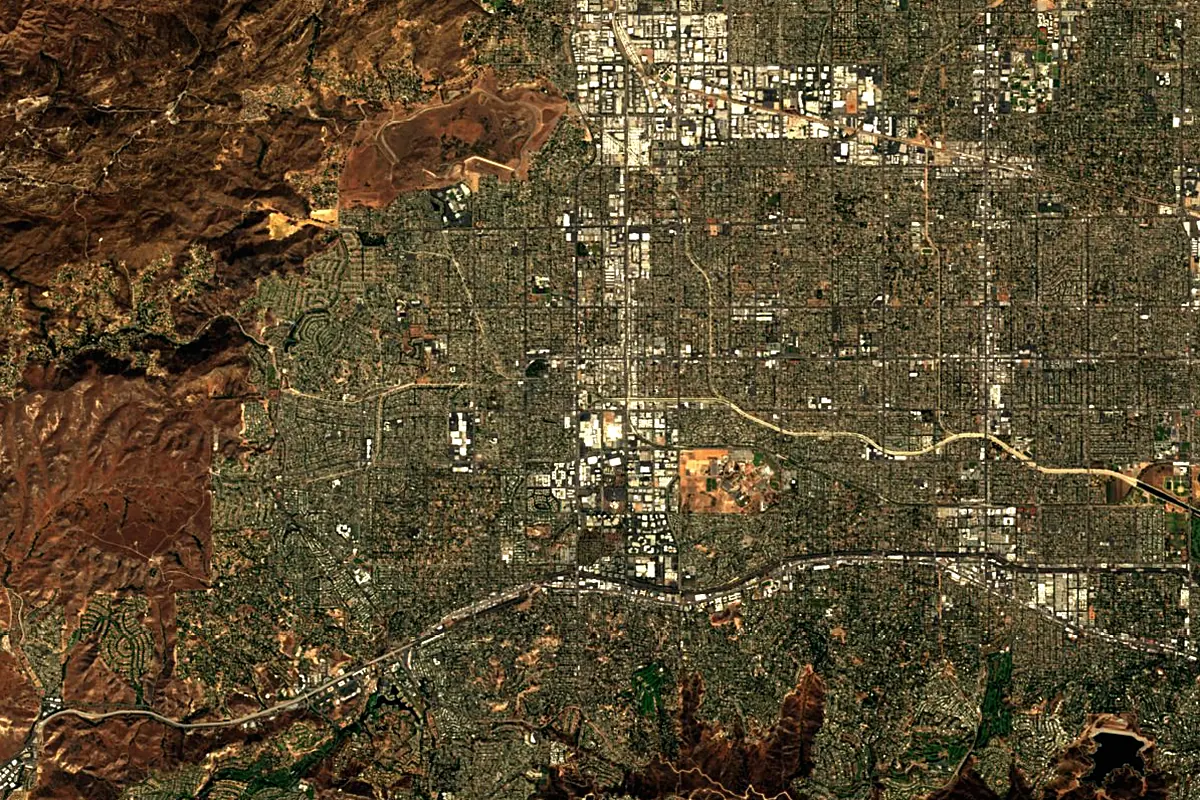
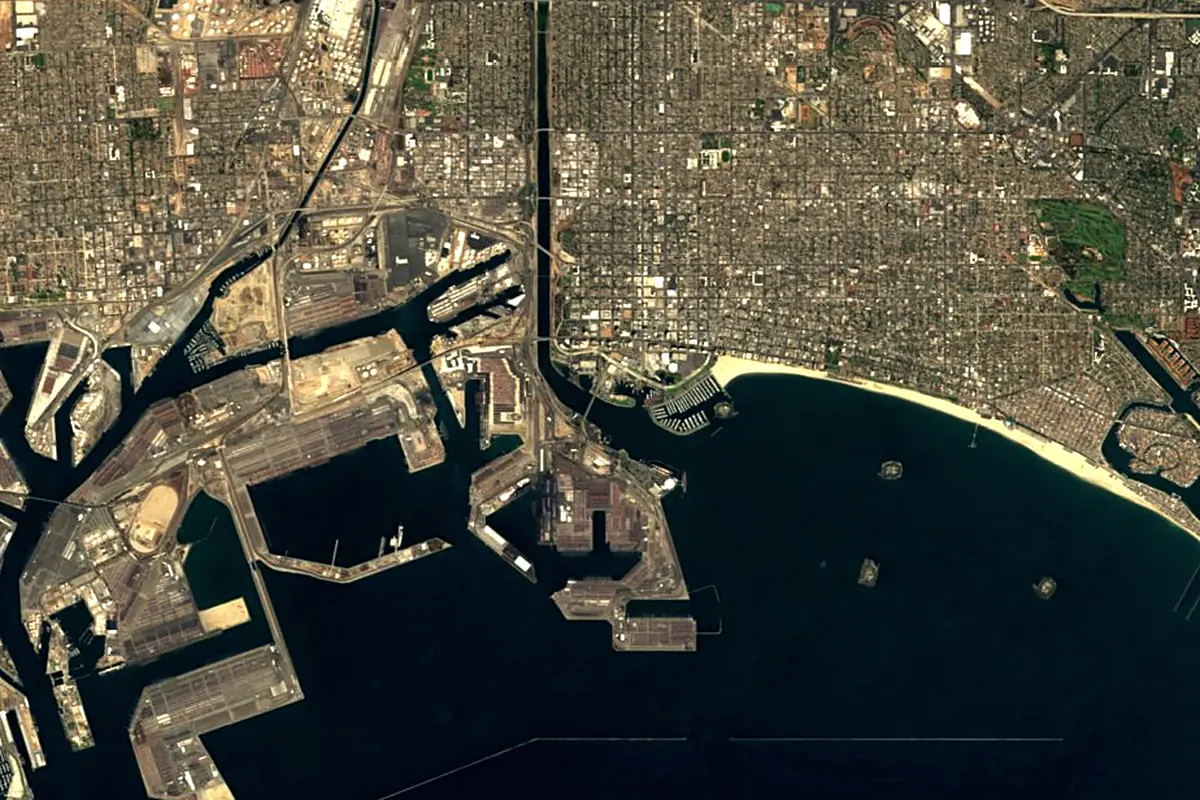
Sentinel-2 cloudless 2016 by EOX IT Services GmbH (contains modified Copernicus Sentinel data 2016), CC BY 4.0. The glowing line is the river as drawn by RiverATLAS.
Photos
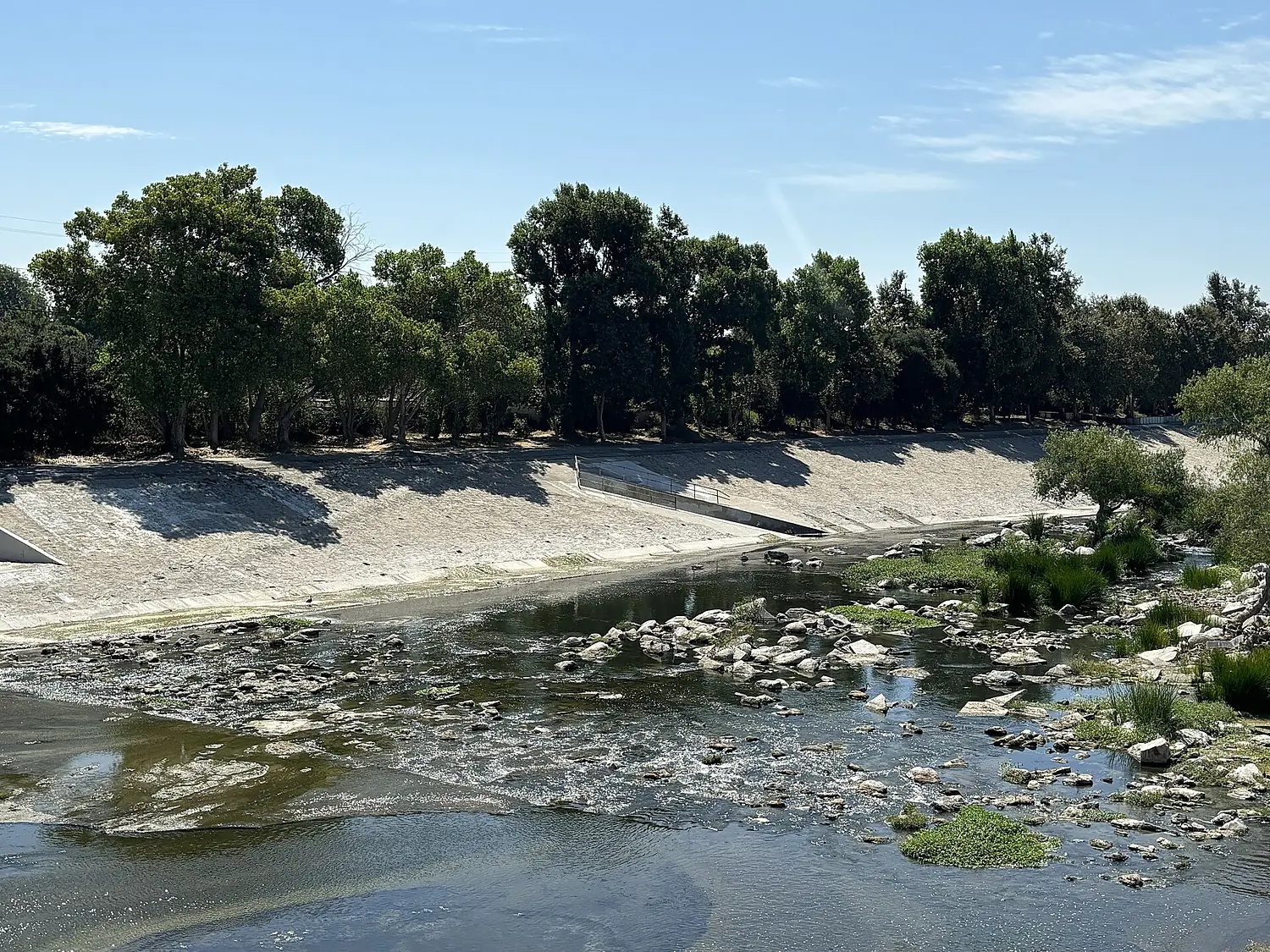
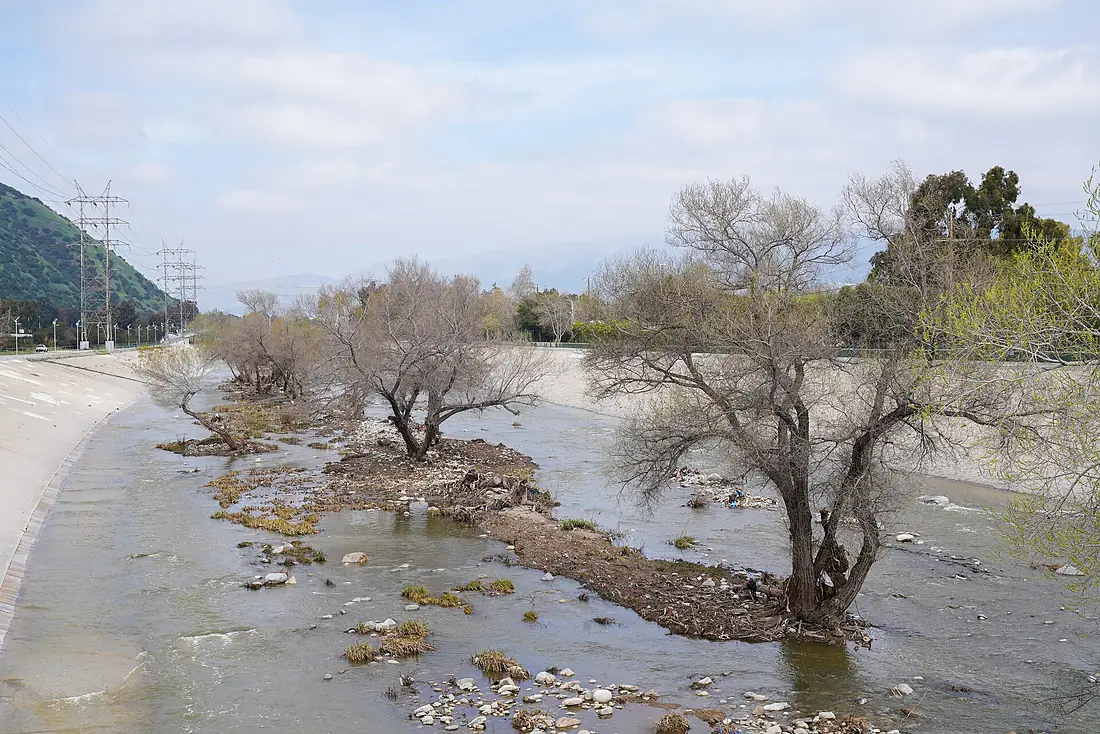
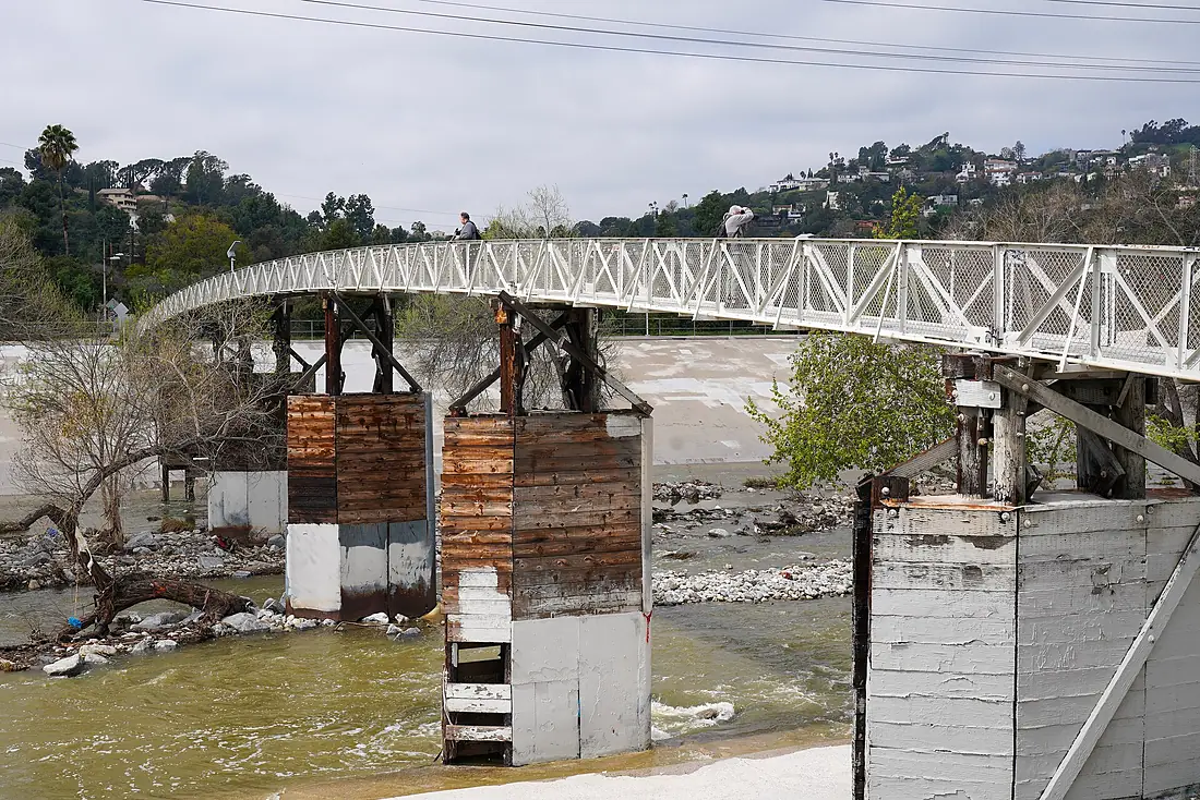
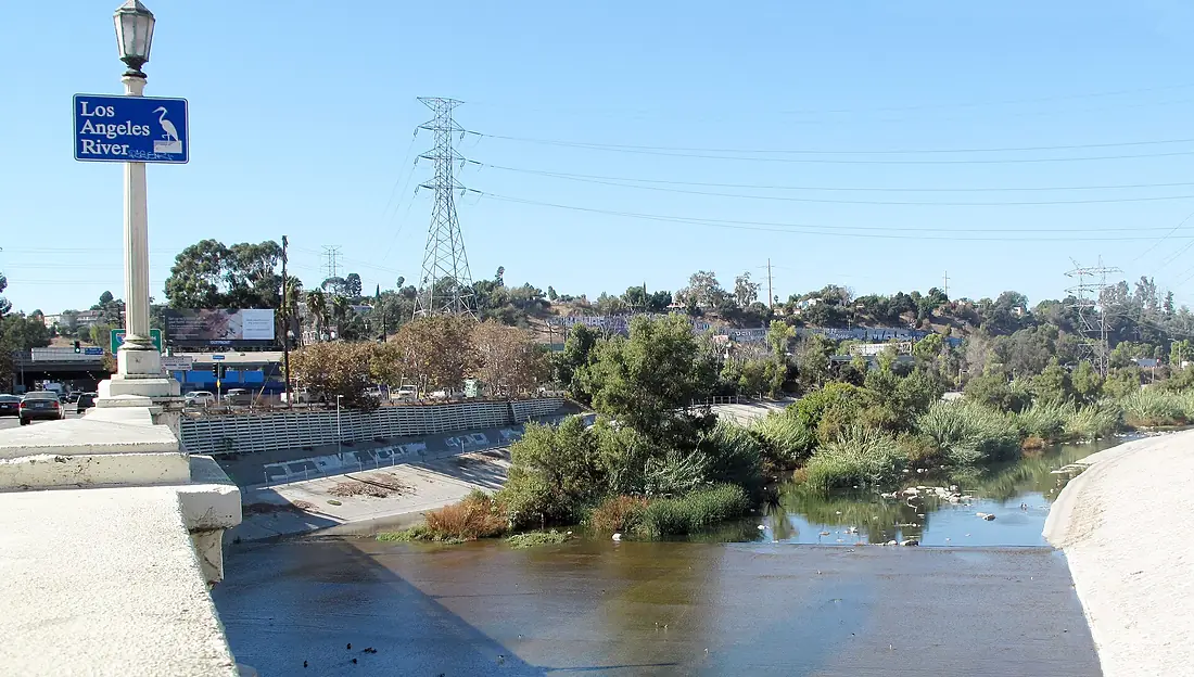
Los Angeles River in pictures
Tributaries
Where it flows, and what flows into it
Tributaries (11)
Also: Rio Hondo, Tujunga Wash, Arroyo Seco, Compton Creek, Pacoima Wash, Bull Creek, Verdugo Wash, Aliso Creek, Arroyo Calabasas, Bell Creek, Browns Canyon Wash
 Mexico
Where these numbers come from
| Name, length, places | Wikidata (Q542965) · CC0 |
|---|---|
| Course, profile, basin | RiverATLAS v1.0 (HydroATLAS, Linke et al. 2019) · CC BY 4.0 — followed from the source to the mouth given by Wikidata |
| Flow | WaterGAP (RiverATLAS), 1971–2000 · CC BY 4.0 |
| Climate along the river | WorldClim (RiverATLAS), 1970–2000 · CC BY 4.0 |
| Towns, bridges, dams | Wikidata · CC0; GeoNames · CC BY 4.0 |
| Along the river | © OpenStreetMap contributors · ODbL |
| Images | EOX Sentinel-2 cloudless 2016 · CC BY 4.0; Wikimedia Commons |
| Our other atlases | Lakeyas, Coastya, Peakyas, Islandyas — Wikidata · CC0; © OpenStreetMap contributors · ODbL; GeoNames · CC BY 4.0; HydroLAKES · CC BY 4.0; NOAA OISST |
Every source and licence is on the data sources page.
The family
Do you prefer beaches, lakes, mountains, waterfalls, islands, rivers or canyons?
Same idea, other landscapes: field atlases built on open data, month by month, in seven languages.
beaches Find your beach: sea temperature, sun and swimming month by month.Visit lakes
 Every lake on Earth: water temperature, ice, depth and the shore.Coming soonVisit mountains
 Every summit in 3D: summit weather, the 0 °C line, huts and trails.Visit
  waterfalls
 Every waterfall: height, flow month by month and when it roars.Coming soonVisit islands
 Every island from the sea up: size, sea temperature, ferries and 3D.Coming soonVisit
  rivers
 Every river from source to sea: the journey, the flow and the basin in numbers.You are here
 canyons
 Every canyon cut to scale: depth to the floor, rim and floor temperatures, trails and viewpoints.Coming soonVisit