River
Neris
510 km from source to mouth · Lithuania and Belarus.
 Lithuania and BelarusFlows into Neman2nd longest in Lithuania
In numbers
Length
510km
Average flow
180m³/s
Basin
25,100km²
Drop
161m
from 177 m to 16 m
Countries
2
The journey
From source to mouth
510 km of river and 64 stops on the way: 22 towns and cities on its banks, dams, bridges and the tributaries that feed it.
- 0 kmSourceat 177 m
- 24 kmLonvatributary
- 33 kmDzvinasatributary
- 52 kmServačtributary
- 67 kmIlijatributary
- 79 kmVileyka Reservoir51 km²
- 84 kmVileyka26,015 people
- 115 kmKužectributary
- 115 kmNarach Rivertributary
- 115 kmUšatributary
- 135 kmOksnatributary
- 187 kmAĺchoŭskaje0.5 km²
- 188 kmAšmiankatributary
- 193 kmStracha Rivertributary
- 249 kmBalingradas Bridge
- 257 kmŽeimenatributary
- 275 kmNemenčinė5,054 people
- 275 kmBezdonėtributary
- 290 kmBalsys0.5 km²
- 296 kmVeržuvatributary
- 303 kmFabijoniškės37,000 people
- 304 kmValakampiai Bridge
- 307 kmAntakalnis40,000 people
- 307 kmŠilas Bridge
- 308 kmŽirmūnai Bridge
- 309 kmRasos10,597 people
- 309 kmNaujininkai33,500 people
- 309 kmVilniatributary
- 310 kmMindaugas Bridge
- 310 kmVilnius pontoon bridge
- 310 kmVilnius581,475 people
- 310 kmGreen Bridge
- 311 kmWhite Bridge
- 311 kmGeležinis Vilkas Bridge
- 311 kmŠeškinė36,000 people
- 312 kmŽvėrynas Bridge
- 312 kmLiubarto Bridge
- 313 kmNaujamiestis28,157 people
- 314 kmVingis Park Bridge
- 315 kmJustiniškės31,000 people
- 316 kmKaroliniškės31,200 people
- 318 kmLazdynai bridge
- 318 kmLazdynai31,097 people
- 318 kmVilkpėdė21,346 people
- 325 kmGariūnų Bridge
- 327 kmPilaitė20,320 people
- 332 kmVokėtributary
- 333 kmGrigiškės11,555 people
- 335 kmDidžiulis0.7 km²
- 408 kmMusėtributary
- 420 kmLomenatributary
- 435 kmŠventojitributary
- 437 kmTaurosta Bridge
- 439 kmJonava railway bridge
- 439 kmJonava Bridge
- 440 kmJonava26,423 people
- 453 kmSalupiai61 people
- 460 kmŠlėnatributary
- 474 kmDomeikava5,215 people
- 478 kmEiguliai40,453 people
- 479 kmŠilainiai40,600 people
- 481 kmKaunas289,380 people
- 482 kmPetras Vileišis Bridge
- 483 kmAleksotas24,270 people
- 487 kmLampėdis1.0 km²
- 510 kmNemanat 16 m
Water level along the river (RiverATLAS; the height is exaggerated). Towns: GeoNames and Wikidata; bridges, dams and tributaries: Wikidata.
River in Lithuania and Belarus
At the mouth it carries 182 m³/s on average: an Olympic pool every 14 seconds. It drops from 177 m to 16 m, 0.3 m per kilometre on average. Its basin covers 25,100 km², about the size of MK. 3.4 million people live in it. Highest water: from April to June; lowest: from January to March. Dams and reservoirs hold back a large share of its water (13% of a year's flow).
Where to start
- VilniusLargest city on its banks · 581,475 people
- Vilnius International Airport (VNO)Nearest airport with scheduled flights, 6 km from the cityCar hire at VNO airport (Vilnius)Discover Cars · Affiliate link↗
- On the water14 ferry piers, marinas, boat rentals and boat ramps along the river (OpenStreetMap)
- From May to AugustThe best months to visit
Neris, month by month
Highest water: from April to June
Lowest water: from January to March. Freezing months (average below −4 °C): from January to February. Best months to visit: from May to August.
From about 250 m³/s in the lowest month to 1,300 m³/s in the highest. An estimate: the monthly flow is modelled from the lowest and highest months of WaterGAP (RiverATLAS, 1971–2000) and the rain and snow along the river (WorldClim). Dams change the real rhythm. The chip is the average air temperature; below it, the month's rain.
Plan the trip
Plan the trip: boat trips, a bed by the river, a car
Some links above are affiliate links: if you book through them we may earn a commission, at no extra cost to you. It never changes what the data on this page says.
The basin
Neris: the basin in numbers
70,586 km² of land send their water to this river. This is what lives on it.
- 3.4millionpeople live in the basin
- 49/km²people per km²
- 160maverage altitude of the basin
- 639mmof rain a year (basin average)
- 6.2°Caverage air temperature
- 14%protected areas
- 1.3%covered by lakes
- 1.8km³held in reservoirs
What covers the basin
- 34% Forest
- 36% Cropland
- 12% Pasture
- 2% Towns and cities
RiverATLAS (HydroATLAS v1.0, CC BY 4.0): land cover, people, protected areas, glaciers and dams over the whole basin upstream of the mouth.
Along the river
Neris: what you find on the way
- 16Weirs
- 1Locks
- 7WaterfallsVilsos kriokliai, Marvelės kaskados and 5 more
- 2Boat ramps
- 10Ferry piersŽirmūnų paplūdimys, Šilo tiltas, Mindaugo tiltas and 7 more
- 2MarinasŽiemos uostas, Prieplauka
- 10River beachesWhite Mud Beach, Valakampiai nudist beach, Swimming Hole and 7 more
From OpenStreetMap, within 2.3 km of the river. Not mapped is not the same as not there.
Cross-checked with our atlases
Neris in our other atlases
What our sister atlases know about the waterfalls on this river, the lakes it flows through, the beaches at its mouth, the mountains where it rises and the islands off its mouth.
 5lakes on its wayLakeyas
Lakes and reservoirs (5)
Lakes it flows through, by Lakeyas
- Vileyka Reservoirkm 7051km²
- Aĺchoŭskajekm 1660.5km²
- Balsyskm 2580.5km²
- Didžiuliskm 2970.7km²
- Lampėdiskm 4321.0km²
Lakeyas is coming soonOpen Lakeyas ↗
From space
The source and the mouth, seen from orbit
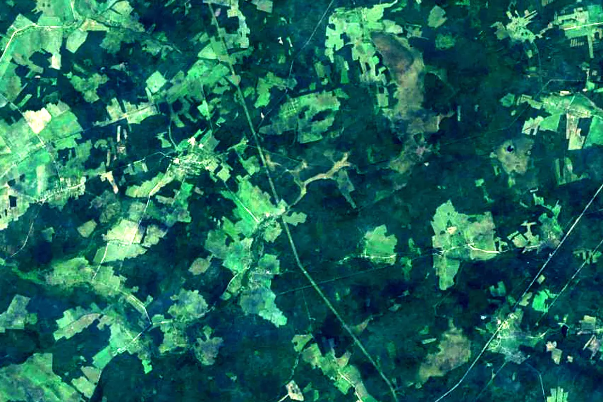
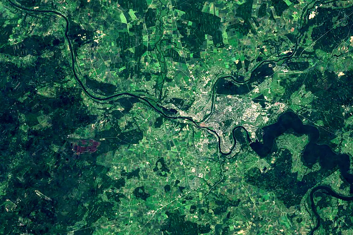
Sentinel-2 cloudless 2016 by EOX IT Services GmbH (contains modified Copernicus Sentinel data 2016), CC BY 4.0. The glowing line is the river as drawn by RiverATLAS.
Photos
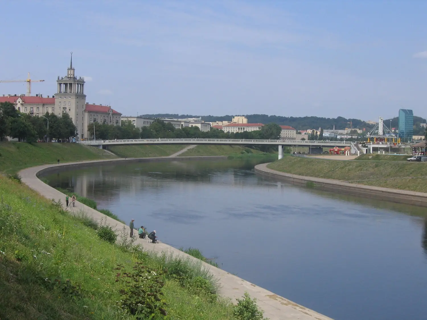
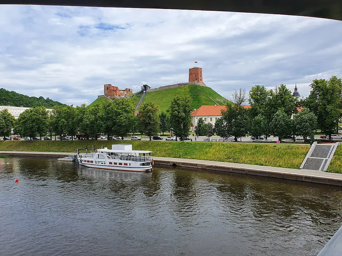
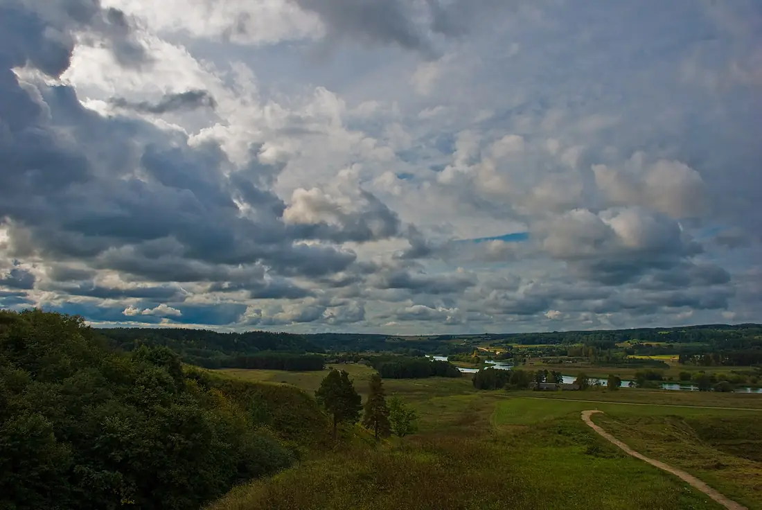
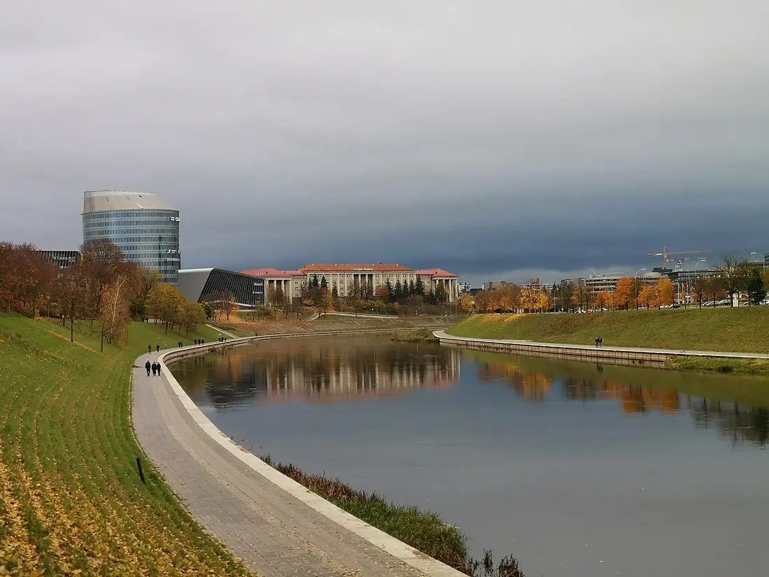
Neris in pictures
Tributaries
Where it flows, and what flows into it
It flows into
NemanLithuania937 km680 m³/sTributaries (41)
Also: Narach River, Ašmianka, Uša, Žeimena, Stracha River, Servač, Ilija, Vokė, Lietava, Dzvinasa, Musė, Lomena, Lonva, Lokys, Oksna, Dūkšta, Kužec, Saračanka, Veržuva, Smierdzija, Šešuva, Balošynka, Spornia, Piela
Nearby
Rivers nearby
Lithuania210 km33 m³/s9 km awayŠventojiLithuania246 km55 m³/s38 km awayDubysaLithuania146 km20 m³/s35 km awayMerkysLithuania206 km33 m³/s86 km awayVilniaLithuania80 km5.6 m³/s97 km awayCzarna HańczaLithuania145 km220 m³/s106 km awayJūraLithuania172 km42 m³/s117 km awayŠčaraBelarus325 km31 m³/s173 km awayWhere these numbers come from
| Name, length, places | Wikidata (Q207903) · CC0 |
|---|---|
| Course, profile, basin | RiverATLAS v1.0 (HydroATLAS, Linke et al. 2019) · CC BY 4.0 — followed from the source to the mouth given by Wikidata |
| Flow | WaterGAP (RiverATLAS), 1971–2000 · CC BY 4.0 |
| Climate along the river | WorldClim (RiverATLAS), 1970–2000 · CC BY 4.0 |
| Towns, bridges, dams | Wikidata · CC0; GeoNames · CC BY 4.0 |
| Along the river | © OpenStreetMap contributors · ODbL |
| Images | EOX Sentinel-2 cloudless 2016 · CC BY 4.0; Wikimedia Commons |
| Our other atlases | Lakeyas — Wikidata · CC0; © OpenStreetMap contributors · ODbL; GeoNames · CC BY 4.0; HydroLAKES · CC BY 4.0; NOAA OISST |
Every source and licence is on the data sources page.
The family
Do you prefer beaches, lakes, mountains, waterfalls, islands, rivers or canyons?
Same idea, other landscapes: field atlases built on open data, month by month, in seven languages.
 beaches
 Find your beach: sea temperature, sun and swimming month by month.Visit lakes
 Every lake on Earth: water temperature, ice, depth and the shore.Coming soonVisit
  mountains
 Every summit in 3D: summit weather, the 0 °C line, huts and trails.Visit
  waterfalls
 Every waterfall: height, flow month by month and when it roars.Coming soonVisit
  islands
 Every island from the sea up: size, sea temperature, ferries and 3D.Coming soonVisit
  rivers
 Every river from source to sea: the journey, the flow and the basin in numbers.You are here
 canyons
 Every canyon cut to scale: depth to the floor, rim and floor temperatures, trails and viewpoints.Coming soonVisit