River
Oyapock
403 km from source to mouth · France and Brazil.

 France and BrazilFlows into Atlantic Ocean
In numbers
Length
403km
Average flow
840m³/s
Basin
26,820km²
Drop
172m
from 172 m to 0 m
Countries
2
The journey
From source to mouth
403 km of river and 43 stops on the way: 2 towns and cities on its banks, dams, bridges and the tributaries that feed it.
- 0 kmSourceat 172 m
- 38 kmCachoeira Trasapa
- 45 kmCachoeira Taiuá
- 47 kmTakourou Itou
- 49 kmOs Treis Saltos
- 53 kmPakoussili Ito
- 58 kmTamanwayapa Itou
- 81 kmManoa Ito
- 89 kmPalanga Ito
- 93 kmMoutoussi Ito
- 102 kmCachoeira Mourouniourincin
- 112 kmMaripa Ito
- 116 kmKwaman Tapélé Itou
- 120 kmKoumalawa Ito
- 127 kmSaut Atalio
- 129 kmSaut Samako
- 134 kmSaut Petit Massala
- 140 kmCachoeira Acouiari
- 146 kmIpanan Tapéré
- 151 kmSaut Grand Ako
- 154 kmYaroupitributary
- 160 kmKanguélalou Itou
- 169 kmAlikoto Miti Ito
- 179 kmTamoussiyapa Itou
- 180 kmIaué Rivertributary
- 182 kmCachoeira Pacas
- 183 kmSaut Massala
- 202 kmAlikoto Ito
- 212 kmCachoeira Camaraua
- 216 kmCachoeira Camoura
- 217 kmCamopitributary
- 230 kmCachoeira Acaraio
- 234 kmCachoeira Justin
- 237 kmCachoeira Caimum
- 238 kmMarupi Rivertributary
- 247 kmCachoeira das Goiabeiras
- 253 kmCachoeira Ouaouaro
- 275 kmChemin de l'Enfer
- 328 kmSaut Maripa (busay)
- 328 kmCachoeira Grande Rocha
- 337 kmOiapoque27,482 people
- 339 kmFranco-Brazilian Binational Bridge
- 344 kmSaint-Georges4,915 people
- 396 kmUaçá Rivertributary
- 403 kmAtlantic Oceanat 0 m
Water level along the river (RiverATLAS; the height is exaggerated). Towns: GeoNames and Wikidata; bridges, dams and tributaries: Wikidata.
River in South America, bordering French Guiana and Brasil (state of Amapá)
At the mouth it carries 835 m³/s on average: an Olympic pool every 3.0 seconds. It drops from 172 m to 0 m, 0.4 m per kilometre on average. Its basin covers 26,820 km², about the size of RW. 22,000 people live in it. Highest water: from May to June; lowest: from September to December. No large dam holds it back: it is one of the world's free-flowing rivers.
Where to start
- OiapoqueLargest city on its banks · 27,482 people
- Cayenne – Félix Eboué Airport (CAY)Nearest airport with scheduled flights, 123 km from the cityCar hire at CAY airport (Matoury)Discover Cars · Affiliate link↗
- On the water17 ferry piers, marinas, boat rentals and boat ramps along the river (OpenStreetMap)
- From September to NovemberThe best months to visit
Oyapock, month by month
Highest water: from May to June
Lowest water: from September to December. Best months to visit: from September to November.
From about 230 m³/s in the lowest month to 2,200 m³/s in the highest. An estimate: the monthly flow is modelled from the lowest and highest months of WaterGAP (RiverATLAS, 1971–2000) and the rain and snow along the river (WorldClim). Dams change the real rhythm. The chip is the average air temperature; below it, the month's rain.
Plan the trip
Plan the trip: boat trips, a bed by the river, a car
Some links above are affiliate links: if you book through them we may earn a commission, at no extra cost to you. It never changes what the data on this page says.
The basin
Oyapock: the basin in numbers
26,098 km² of land send their water to this river. This is what lives on it.
- 22,000people live in the basin
- 1/km²people per km²
- 150maverage altitude of the basin
- 2,649mmof rain a year (basin average)
- 25.4°Caverage air temperature
- 88%protected areas
What covers the basin
- 97% Forest
RiverATLAS (HydroATLAS v1.0, CC BY 4.0): land cover, people, protected areas, glaciers and dams over the whole basin upstream of the mouth.
Along the river
Oyapock: what you find on the way
- 1Locks
- 93WaterfallsSaut Paye, Paku etã, Paku yelepa and 90 more
- 11Boat rampsMõpe ɨalupa, Piyeko piyale, Dégrad Maripa and 8 more
- 5Ferry piersOiapoque, Ferry to Saint George's, Ferry pour Oyapoque and 2 more
- 1River beachesCarbet bâche
From OpenStreetMap, within 2.0 km of the river. Not mapped is not the same as not there.
Cross-checked with our atlases
Oyapock in our other atlases
What our sister atlases know about the waterfalls on this river, the lakes it flows through, the beaches at its mouth, the mountains where it rises and the islands off its mouth.
 35waterfalls on the riverCascadyas
Waterfalls (35)
On the river, by Cascadyas
- Cachoeira Taiuákm 40
- Manoa Itokm 72
- Kwaman Tapélé Itoukm 103
- Koumalawa Itokm 107
- Cachoeira Acouiarikm 124
- Saut Grand Akokm 135
- Kanguélalou Itoukm 142
- Alikoto Miti Itokm 150
27 more on CascadyasCascadyas is coming soonOpen Cascadyas ↗
From space
The source and the mouth, seen from orbit
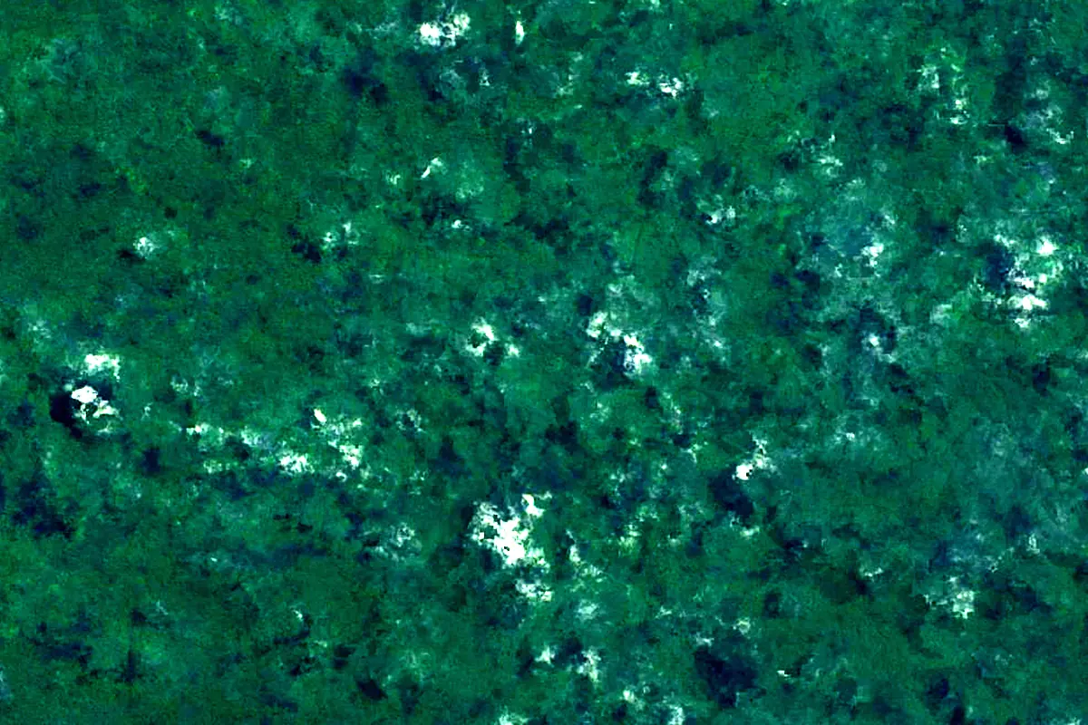
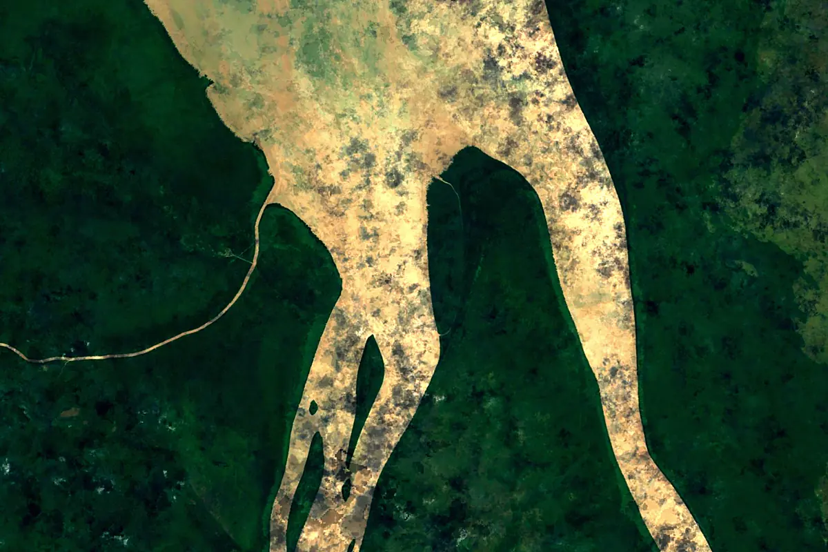
Sentinel-2 cloudless 2016 by EOX IT Services GmbH (contains modified Copernicus Sentinel data 2016), CC BY 4.0. The glowing line is the river as drawn by RiverATLAS.
Photos
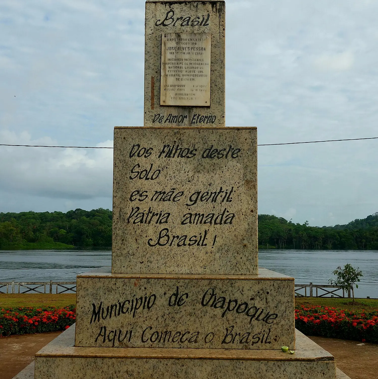
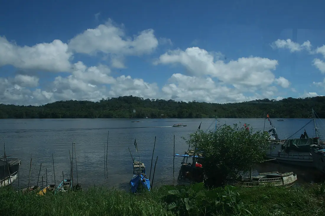
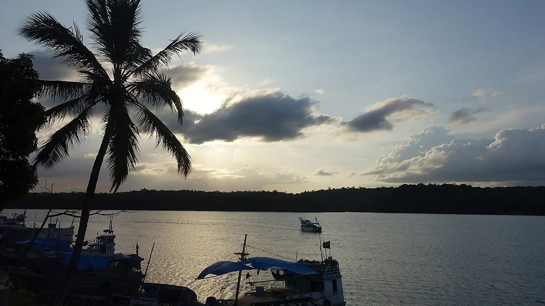
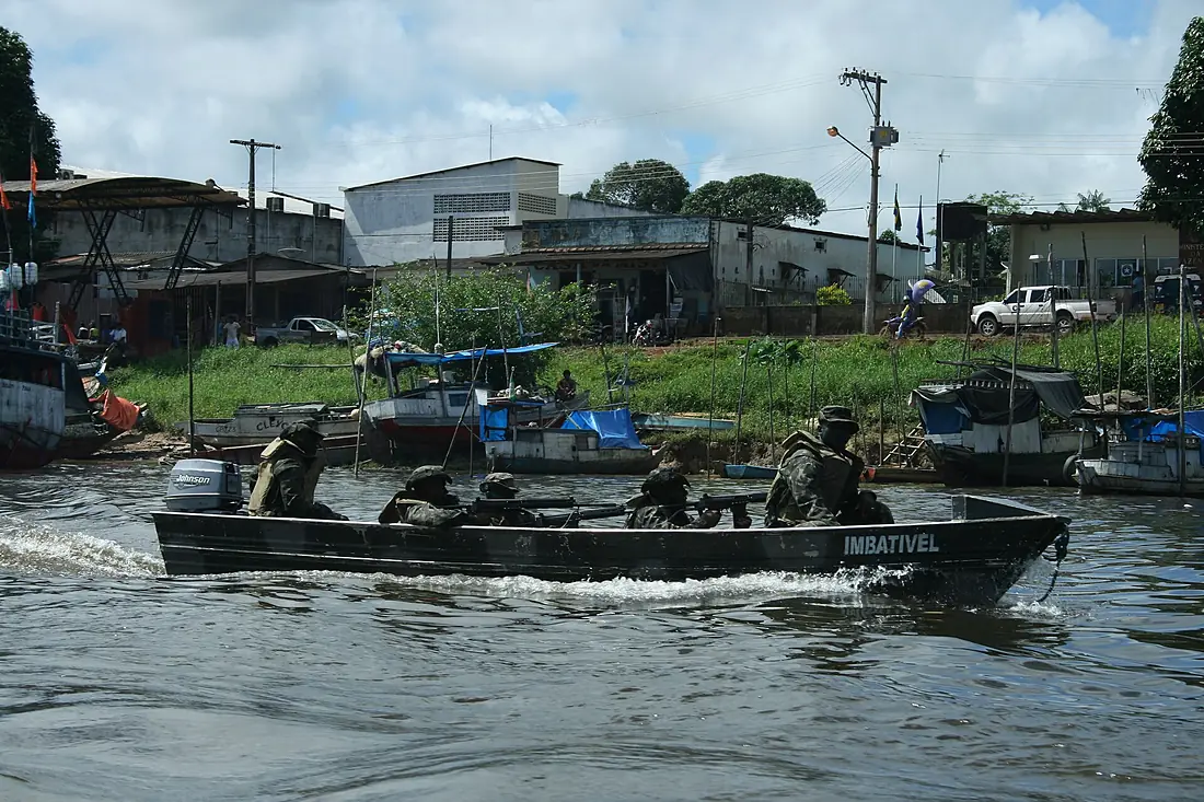
Oyapock in pictures
Tributaries
Where it flows, and what flows into it
Tributaries (13)
Also: Camopi, Uaçá River, Yaroupi, Iaué River, Anotaié River, Cricou River, Kariniutu River, Marupi River, Tangararé River, Mutura River, Ouanary, Crique Noussiri, Crique Armontabo
 French Guiana
 Suriname
Where these numbers come from
| Name, length, places | Wikidata (Q1541246) · CC0 |
|---|---|
| Course, profile, basin | RiverATLAS v1.0 (HydroATLAS, Linke et al. 2019) · CC BY 4.0 — followed from the source to the mouth given by Wikidata |
| Flow | WaterGAP (RiverATLAS), 1971–2000 · CC BY 4.0 |
| Climate along the river | WorldClim (RiverATLAS), 1970–2000 · CC BY 4.0 |
| Towns, bridges, dams | Wikidata · CC0; GeoNames · CC BY 4.0 |
| Along the river | © OpenStreetMap contributors · ODbL |
| Images | EOX Sentinel-2 cloudless 2016 · CC BY 4.0; Wikimedia Commons |
| Our other atlases | Cascadyas — Wikidata · CC0; © OpenStreetMap contributors · ODbL; GeoNames · CC BY 4.0; HydroLAKES · CC BY 4.0; NOAA OISST |
Every source and licence is on the data sources page.
The family
Do you prefer beaches, lakes, mountains, waterfalls, islands, rivers or canyons?
Same idea, other landscapes: field atlases built on open data, month by month, in seven languages.
 beaches
 Find your beach: sea temperature, sun and swimming month by month.Visit
  lakes
lakes Every lake on Earth: water temperature, ice, depth and the shore.Coming soonVisit
  mountains
 Every summit in 3D: summit weather, the 0 °C line, huts and trails.Visit waterfalls
 Every waterfall: height, flow month by month and when it roars.Coming soonVisit
  islands
 Every island from the sea up: size, sea temperature, ferries and 3D.Coming soonVisit
  rivers
 Every river from source to sea: the journey, the flow and the basin in numbers.You are here
 canyons
 Every canyon cut to scale: depth to the floor, rim and floor temperatures, trails and viewpoints.Coming soonVisit