River
Paranaíba River
900 km from source to mouth · Brazil.
 BrazilFlows into Paraná River
In numbers
Length
900km
Average flow
1,500m³/s
Basin
34,400km²
Drop
643m
from 966 m to 323 m
Country
1
The journey
From source to mouth
900 km of river and 13 stops on the way: 3 towns and cities on its banks, dams, bridges and the tributaries that feed it.
- 0 kmSourceat 966 m
- 34 kmCachoeira do Funil
- 189 kmNova Ponte14,598 people
- 423 kmAraguari Rivertributary
- 477 kmItumbiara Dam
- 494 kmItumbiara113,322 people
- 497 kmAraporã8,479 people
- 552 kmCachoeira Dourada
- 592 kmCachoeira do Praião
- 626 kmDos Bois Rivertributary
- 702 kmRepresa de São Simão584 km²
- 725 kmClaro Rivertributary
- 741 kmVerde Rivertributary
- 805 kmCachoeira Santana
- 900 kmParaná Riverat 323 m
Water level along the river (RiverATLAS; the height is exaggerated). Towns: GeoNames and Wikidata; bridges, dams and tributaries: Wikidata.
River in Brazil
At the mouth it carries 1,505 m³/s on average: an Olympic pool every 1.7 seconds. It drops from 966 m to 323 m, 0.7 m per kilometre on average. Its basin covers 34,400 km², about the size of MD. 9.2 million people live in it. Highest water: from January to March; lowest: from July to October. It is heavily dammed: reservoirs can hold 68% of a year's flow.
Where to start
- ItumbiaraLargest city on its banks · 113,322 people
- Ten. Cel. Aviador César Bombonato Airport (UDI)Nearest airport with scheduled flights, 116 km from the cityCar hire at UDI airport (Uberlândia)Discover Cars · Affiliate link↗
- On the water12 ferry piers, marinas, boat rentals and boat ramps along the river (OpenStreetMap)
- From May to SeptemberThe best months to visit
Paranaíba River, month by month
Highest water: from January to March
Lowest water: from July to October. Best months to visit: from May to September.
From about 750 m³/s in the lowest month to 6,700 m³/s in the highest. An estimate: the monthly flow is modelled from the lowest and highest months of WaterGAP (RiverATLAS, 1971–2000) and the rain and snow along the river (WorldClim). Dams change the real rhythm. The chip is the average air temperature; below it, the month's rain.
Plan the trip
Plan the trip: boat trips, a bed by the river, a car
Some links above are affiliate links: if you book through them we may earn a commission, at no extra cost to you. It never changes what the data on this page says.
The basin
Paranaíba River: the basin in numbers
223,537 km² of land send their water to this river. This is what lives on it.
- 9.2millionpeople live in the basin
- 41/km²people per km²
- 745maverage altitude of the basin
- 1,463mmof rain a year (basin average)
- 22.9°Caverage air temperature
- 3%protected areas
- 0.9%covered by lakes
- 64km³held in reservoirs
What covers the basin
- 3% Forest
- 13% Cropland
- 57% Pasture
- 1% Towns and cities
RiverATLAS (HydroATLAS v1.0, CC BY 4.0): land cover, people, protected areas, glaciers and dams over the whole basin upstream of the mouth.
Along the river
Paranaíba River: what you find on the way
- 5WaterfallsCachoeira do Funil, Cachoeira do Marimbondo, Cachoeira do Terra Branca and 2 more
- 2Boat ramps
- 10Ferry piersCachoeira Dourada MG, Cachoeira Dourada GO, Gouveinha and 7 more
From OpenStreetMap, within 2.6 km of the river. Not mapped is not the same as not there.
Cross-checked with our atlases
Paranaíba River in our other atlases
What our sister atlases know about the waterfalls on this river, the lakes it flows through, the beaches at its mouth, the mountains where it rises and the islands off its mouth.
 4waterfalls on the riverCascadyas
 2lakes on its wayLakeyas
Waterfalls (4)
On the river, by Cascadyas
- Cachoeira do Funilkm 34
- Cachoeira Douradakm 557
- Cachoeira do Praiãokm 597
- Cachoeira Santanakm 812
Cascadyas is coming soonOpen Cascadyas ↗
Lakes and reservoirs (2)
Lakes it flows through, by Lakeyas
- Itumbiarakm 481333km²
- Represa de São Simãokm 708584km²
Lakeyas is coming soonOpen Lakeyas ↗
From space
The source and the mouth, seen from orbit
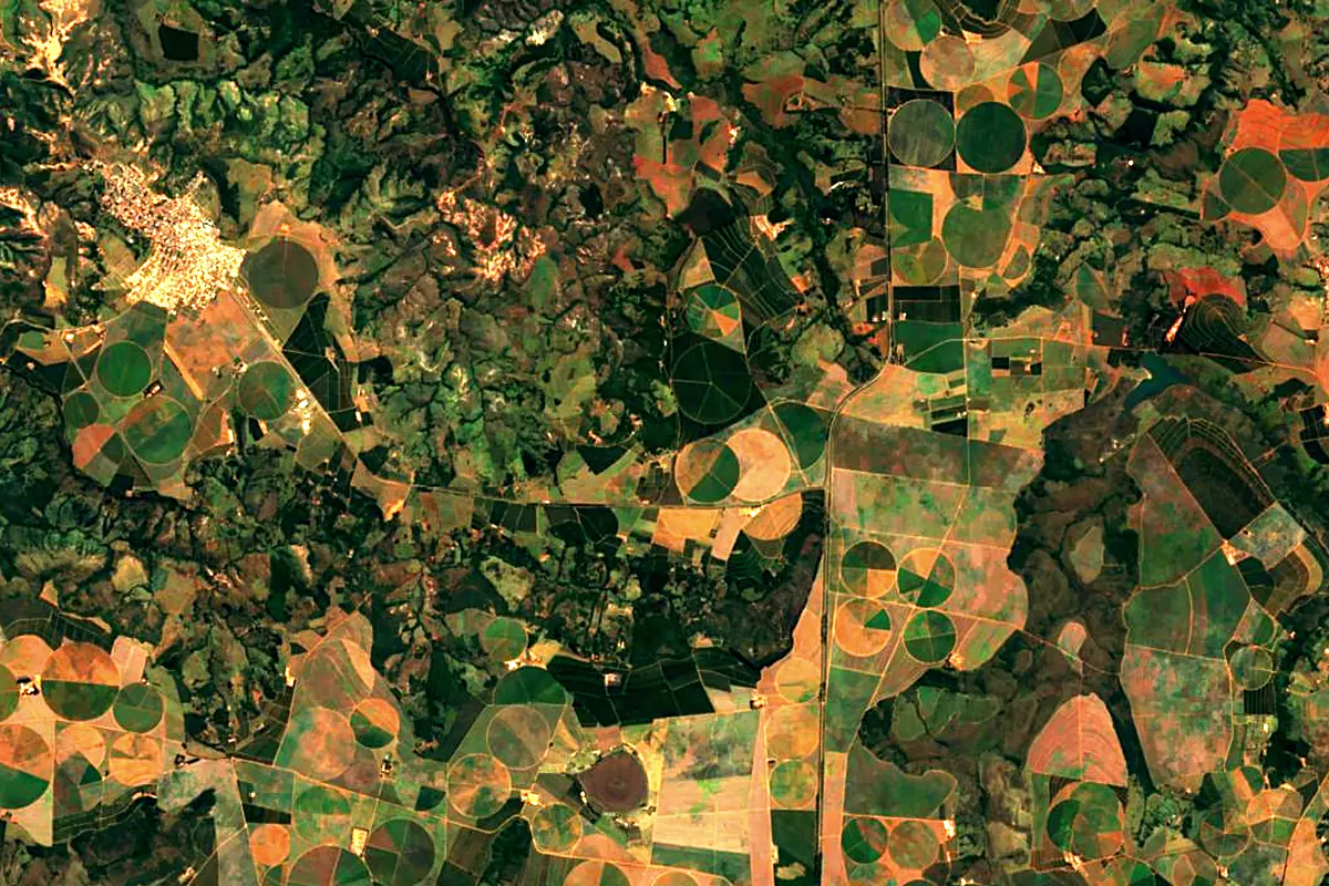
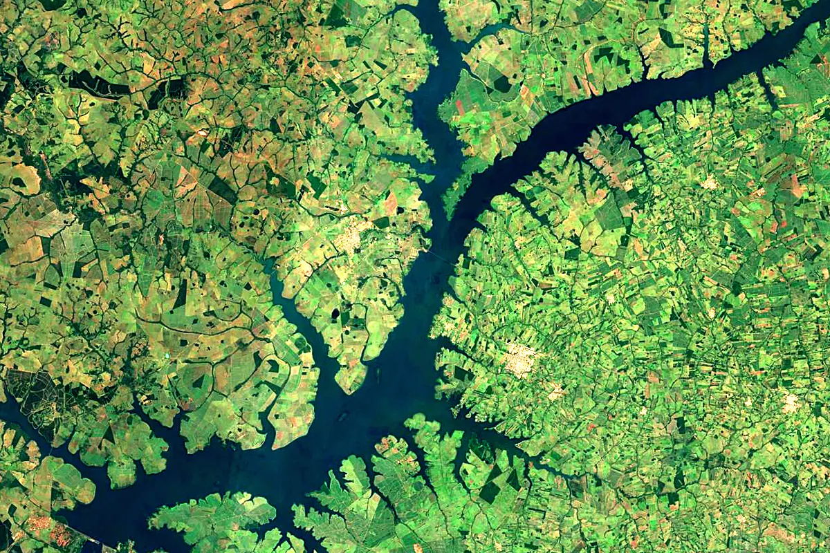
Sentinel-2 cloudless 2016 by EOX IT Services GmbH (contains modified Copernicus Sentinel data 2016), CC BY 4.0. The glowing line is the river as drawn by RiverATLAS.
Photos
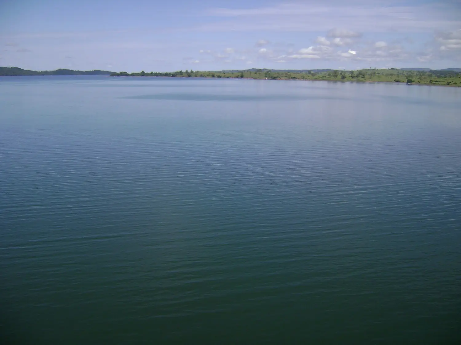
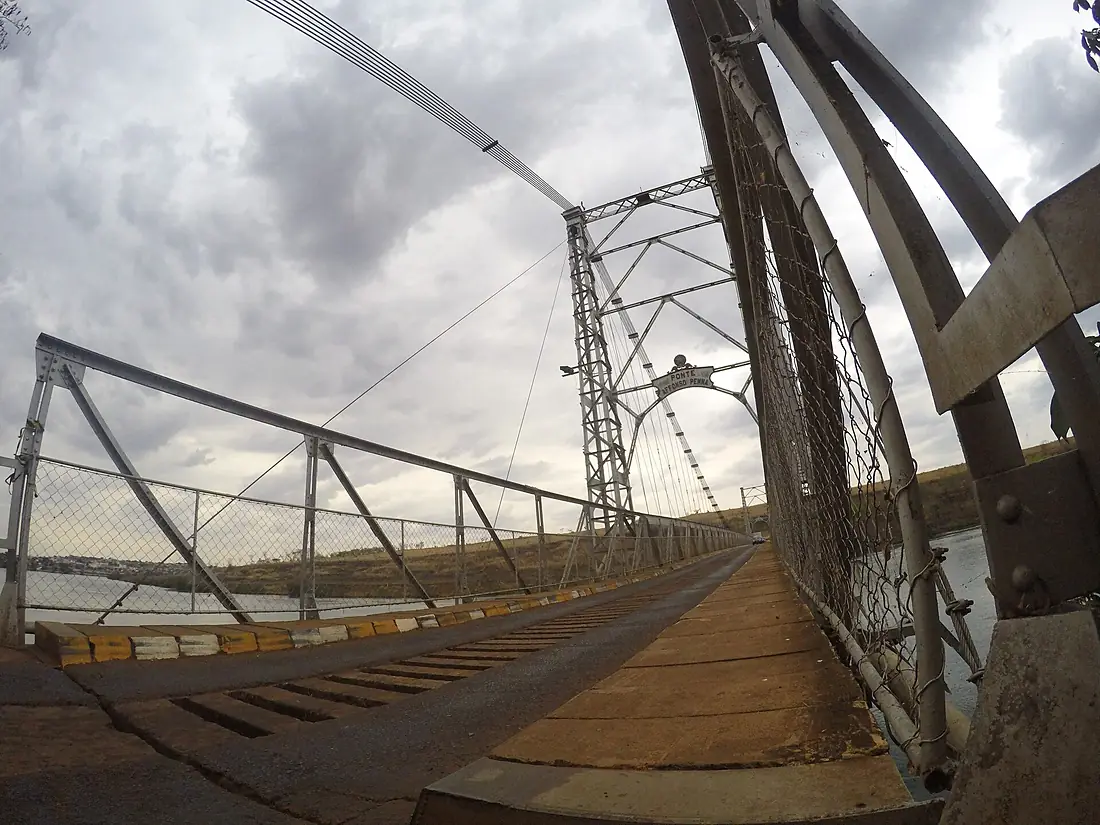
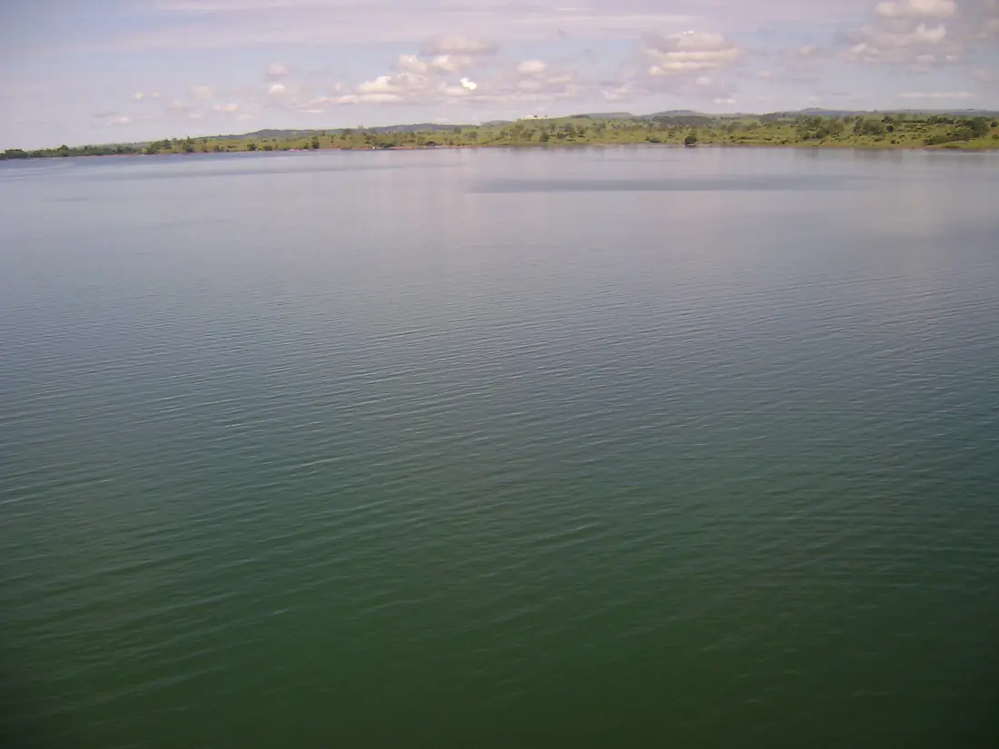
Paranaíba River in pictures

Tributaries
Where it flows, and what flows into it
It flows into
Paraná River Uruguay4,880 km16,000 m³/s
Tributaries (21)
Also: Meia Ponte River, Corumbá River, Claro River, Araguari River, São Bartolomeu River, Dos Bois River, São Marcos River, Verde River, Aporé River, Dourados River, Santana River, São Domingos River, Tijuco River, Alegre River, Bagagem River, Barreiros River, Corrente River, Piracanjuba River, Preto River, Verde River, Veríssimo River
In the same basin
 Argentina2,621 km2.7 m³/sUruguay RiverUruguay1,790 km4.6 m³/sIguazu RiverArgentina1,320 km1,700 m³/sPilcomayo River
 Paraguay1,100 km200 m³/sBermejoParaguay1,060 km340 m³/sGrande RiverBrazil1,090 km2,000 m³/sTietê RiverBrazil1,150 km2,500 m³/sSalado RiverArgentina1,150 km15 m³/sParanapanema RiverBrazil929 km1,200 m³/sApa RiverParaguay380 km130 m³/s
Where these numbers come from
| Name, length, places | Wikidata (Q776155) · CC0 |
|---|---|
| Course, profile, basin | RiverATLAS v1.0 (HydroATLAS, Linke et al. 2019) · CC BY 4.0 — followed from the source to the mouth given by Wikidata |
| Flow | WaterGAP (RiverATLAS), 1971–2000 · CC BY 4.0 |
| Climate along the river | WorldClim (RiverATLAS), 1970–2000 · CC BY 4.0 |
| Towns, bridges, dams | Wikidata · CC0; GeoNames · CC BY 4.0 |
| Along the river | © OpenStreetMap contributors · ODbL |
| Images | EOX Sentinel-2 cloudless 2016 · CC BY 4.0; Wikimedia Commons |
| Our other atlases | Cascadyas, Lakeyas — Wikidata · CC0; © OpenStreetMap contributors · ODbL; GeoNames · CC BY 4.0; HydroLAKES · CC BY 4.0; NOAA OISST |
Every source and licence is on the data sources page.
The family
Do you prefer beaches, lakes, mountains, waterfalls, islands, rivers or canyons?
Same idea, other landscapes: field atlases built on open data, month by month, in seven languages.
 beaches
 Find your beach: sea temperature, sun and swimming month by month.Visit lakes
 Every lake on Earth: water temperature, ice, depth and the shore.Coming soonVisit
  mountains
 Every summit in 3D: summit weather, the 0 °C line, huts and trails.Visit waterfalls
 Every waterfall: height, flow month by month and when it roars.Coming soonVisit
  islands
 Every island from the sea up: size, sea temperature, ferries and 3D.Coming soonVisit
  rivers
 Every river from source to sea: the journey, the flow and the basin in numbers.You are here
 canyons
 Every canyon cut to scale: depth to the floor, rim and floor temperatures, trails and viewpoints.Coming soonVisit