River
Saint John River
606 km from source to mouth · Canada and United States.
 Canada and United StatesFlows into Bay of Fundy
In numbers
Length
606km
Average flow
990m³/s
Basin
54,986km²
Drop
321m
from 321 m to 0 m
Countries
2
The journey
From source to mouth
606 km of river and 59 stops on the way: 13 towns and cities on its banks, dams, bridges and the tributaries that feed it.
- 0 kmNorthwest Branch Saint John Riverat 321 m
- 0 kmNorthwest Branch Saint John Rivertributary
- 0 kmSouthwest Branch Saint John Rivertributary
- 69 kmBig Black Rivertributary
- 86 kmChimenticook Rivertributary
- 110 kmLittle Black Rivertributary
- 115 kmAllagash Rivertributary
- 132 kmSaint Francis Rivertributary
- 157 kmClair – Fort Kent Bridge
- 158 kmFish Rivertributary
- 167 kmRivière Baker-Brooktributary
- 189 kmEdmundston–Madawaska Bridge
- 189 kmEdmundston17,175 people
- 189 kmMadawaska Rivertributary
- 196 kmIroquois Rivertributary
- 228 kmSaint Leonard – Van Buren Bridge
- 228 kmVan Buren2,038 people
- 247 kmGrand Falls
- 277 kmAroostook Rivertributary
- 282 kmTobique Rivertributary
- 318 kmCarleton North9,170 people
- 324 kmFlorenceville-Bristol1,604 people
- 324 kmFlorenceville Bridge
- 341 kmHugh John Flemming Bridge
- 342 kmSomerville299 people
- 342 kmHartland Bridge
- 360 kmMeduxnekeag Rivertributary
- 378 kmEel Rivertributary
- 398 kmHawkshaw Bridge
- 398 kmPokiok Falls
- 401 kmNackawic941 people
- 442 kmKeswick Rivertributary
- 453 kmFredericton63,116 people
- 453 kmNashwaaksis9,831 people
- 455 kmFredericton Northside28,167 people
- 456 kmFredericton Railway Bridge
- 456 kmNashwaak Rivertributary
- 473 kmOromocto8,805 people
- 474 kmOromocto Rivertributary
- 474 kmBurton Bridge
- 490 kmSwan Creek Lake1.5 km²
- 498 kmCoys Lake1.3 km²
- 498 kmHarts Lake2.6 km²
- 500 kmGrand Lake173 km²
- 504 kmDykeman Lake0.8 km²
- 514 kmFoshay Lake4.3 km²
- 516 kmWashademoak Lake38 km²
- 517 kmOtnabog Lake3.2 km²
- 517 kmMusquash Lake3.4 km²
- 521 kmLong Island Lake0.6 km²
- 547 kmKennebecasis Rivertributary
- 561 kmNerepis Rivertributary
- 564 kmSand Point Lighthouse
- 576 kmDarlings Lake183 km²
- 577 kmReversing Falls4 m
- 577 kmReversing Falls Bridge
- 577 kmReversing Falls Railway Bridge
- 577 kmSaint John West15,255 people
- 578 kmSaint John67,575 people
- 578 kmUptown Saint John8,221 people
- 606 kmBay of Fundyat 0 m
Water level along the river (RiverATLAS; the height is exaggerated). Towns: GeoNames and Wikidata; bridges, dams and tributaries: Wikidata.
River in New Brunswick and Quebec, Canada and Maine, USA
At the mouth it carries 990 m³/s on average: an Olympic pool every 2.5 seconds. It drops from 321 m to 0 m, 0.5 m per kilometre on average. Its basin covers 54,986 km², about the size of HR. 414,000 people live in it. Highest water, with the snowmelt: from April to June; lowest: from January to March. Its dams hold back little of its water (4.7% of a year's flow).
Where to start
- Saint JohnLargest city on its banks · 67,575 people
- Saint John Airport (YSJ)Nearest airport with scheduled flights, 14 km from the cityCar hire at YSJ airport (Saint John)Discover Cars · Affiliate link↗
- On the water85 ferry piers, marinas, boat rentals and boat ramps along the river (OpenStreetMap)
- Kayak and canoe51 put-ins and rapids mapped (OpenStreetMap)
- From June to AugustThe best months to visit
Saint John River, month by month
Highest water: from April to June
Lowest water: from January to March. Freezing months (average below −4 °C): from December to February. Melting snow makes up much of its water. Best months to visit: from June to August.
From about 470 m³/s in the lowest month to 4,200 m³/s in the highest. An estimate: the monthly flow is modelled from the lowest and highest months of WaterGAP (RiverATLAS, 1971–2000) and the rain and snow along the river (WorldClim). Dams change the real rhythm. The chip is the average air temperature; below it, the month's rain.
Plan the trip
Plan the trip: boat trips, a bed by the river, a car
Some links above are affiliate links: if you book through them we may earn a commission, at no extra cost to you. It never changes what the data on this page says.
The basin
Saint John River: the basin in numbers
54,912 km² of land send their water to this river. This is what lives on it.
- 414,000people live in the basin
- 8/km²people per km²
- 244maverage altitude of the basin
- 1,049mmof rain a year (basin average)
- 3.6°Caverage air temperature
- 2%protected areas
- 2.3%covered by lakes
- 1.8km³held in reservoirs
What covers the basin
- 91% Forest
- 3% Cropland
- 1% Pasture
RiverATLAS (HydroATLAS v1.0, CC BY 4.0): land cover, people, protected areas, glaciers and dams over the whole basin upstream of the mouth.
Along the river
Saint John River: what you find on the way
- 1Weirs
- 10WaterfallsGrand Falls, Hays Falls, Pokiok Falls and 7 more
- 51RapidsLedge Rapids and 50 more
- 59Boat rampsMadawaska Boat Landing, Barge Landing and 57 more
- 12Ferry piersLower Jemseg, Gagetown, Westfield and 9 more
- 12MarinasWoodstock Marina, York Centennial Sailboat Marina, Martinon Yacht Club and 9 more
- 9River beachesBig Flat, Mactaquac Beach, Vairs Beach and 6 more
From OpenStreetMap, within 2.2 km of the river. Not mapped is not the same as not there.
Cross-checked with our atlases
Saint John River in our other atlases
What our sister atlases know about the waterfalls on this river, the lakes it flows through, the beaches at its mouth, the mountains where it rises and the islands off its mouth.
 3waterfalls on the riverCascadyas
 11lakes on its wayLakeyas
 62beaches at the mouth and on the banksCoastya
 1mountain at the sourcePeakyas
 3islands off the mouthIslandyas
Waterfalls (3)
On the river, by Cascadyas
- Grand Fallskm 256
- Pokiok Fallskm 413
- Reversing Fallskm 5984m
Cascadyas is coming soonOpen Cascadyas ↗
Lakes and reservoirs (11)
Lakes it flows through, by Lakeyas
- Swan Creek Lakekm 5081.5km²
- Harts Lakekm 5162.6km²
- Grand Lakekm 519173km²
- Foshay Lakekm 5324.3km²
- Washademoak Lakekm 53438km²
- Otnabog Lakekm 5363.2km²
- Musquash Lakekm 5363.4km²
- Darlings Lakekm 597183km²
3 more on LakeyasLakeyas is coming soonOpen Lakeyas ↗
Beaches (62)
At the mouth (25 km) and on the banks, by Coastya
- Boars Head Beachkm 59213.9°C
- Raynes Beachkm 59513.9°C
- Little River Beach4.1 km away13.9°C
- Turners Flats6.2 km away13.9°C
- McLarens Beach3.4 km away13.9°C
- Renforth Beach12 km away13.9°C
- Saints Rest Beach5.6 km away13.9°C
- Tucker Park Beach5.2 km away13.9°C
54 more on CoastyaOpen Coastya ↗
Mountains at the source (1)
Within 15 km of the source, by Peakyas
- Ross Mountain9.4 km away
Islands off the mouth (3)
Within 30 km of the mouth, by Islandyas
- Partridge Island3.4 km away
- Long Island14 km away8.9km²
- Manawagonish Island6.7 km away
Islandyas is coming soonOpen Islandyas ↗
From space
The source and the mouth, seen from orbit
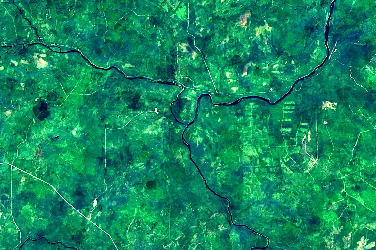
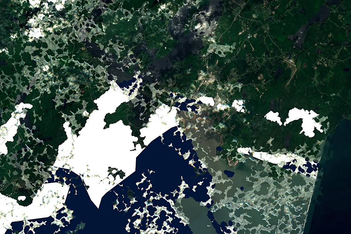
Sentinel-2 cloudless 2016 by EOX IT Services GmbH (contains modified Copernicus Sentinel data 2016), CC BY 4.0. The glowing line is the river as drawn by RiverATLAS.
Photos
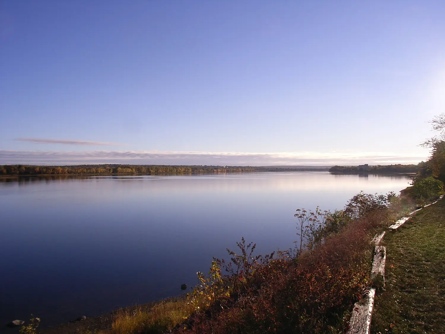
Saint John River in pictures
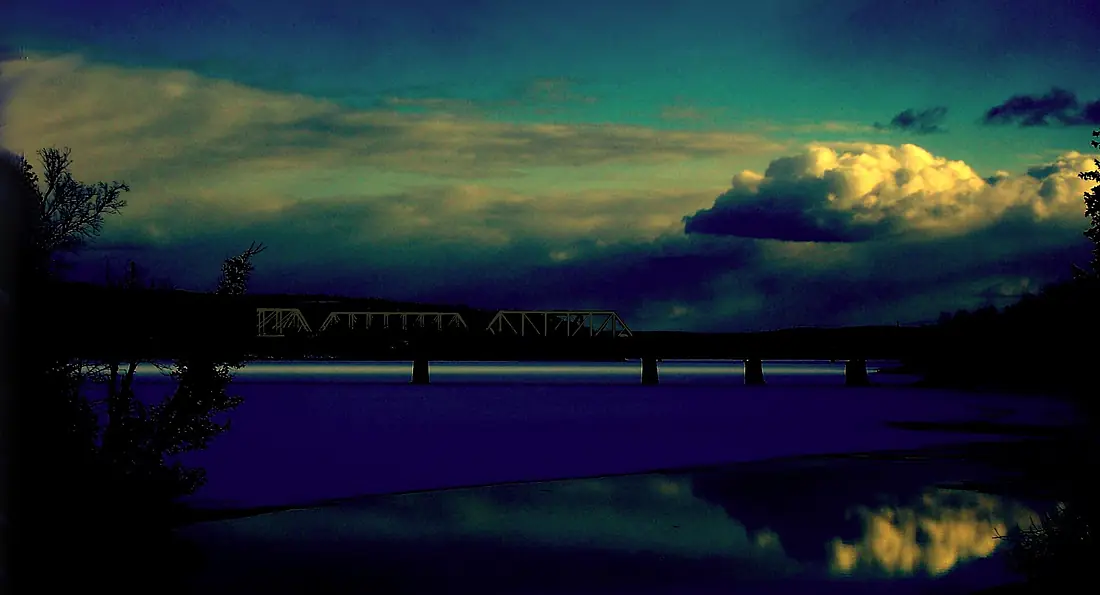
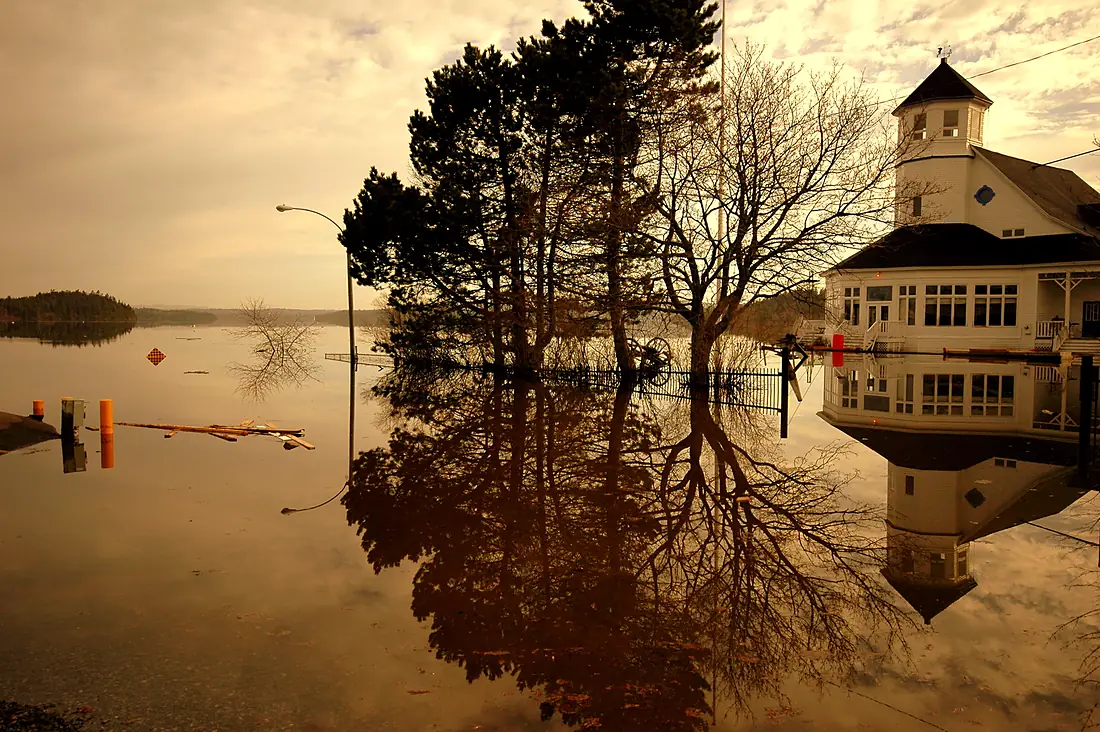
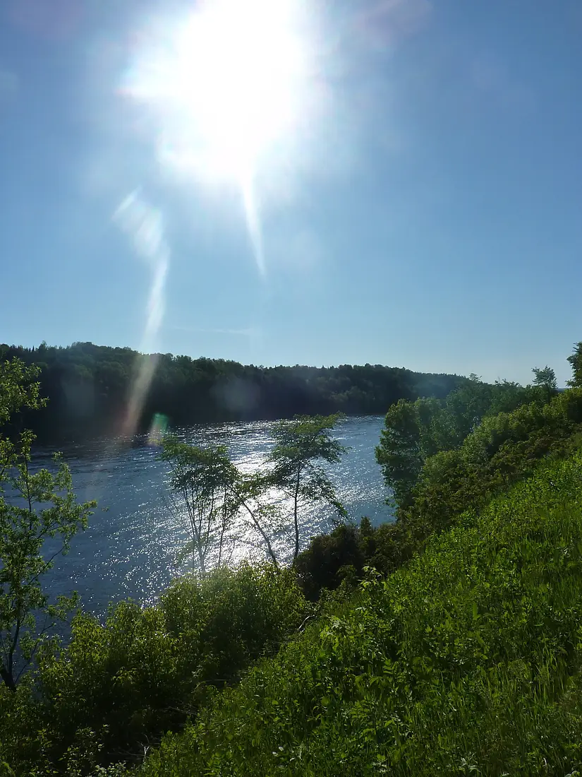
Tributaries
Where it flows, and what flows into it
Tributaries (30)
Also: Aroostook River, Saint Francis River, Madawaska River, Allagash River, Kennebecasis River, Nashwaak River, Oromocto River, Tobique River, Nerepis River, Big Black River, Northwest Branch Saint John River, Meduxnekeag River, Jemseg River, Little Black River, Southwest Branch Saint John River, Keswick River, Canaan River, Chimenticook River, River De Chute, Birch River, Red River, Fish River, Eel River, Iroquois River
Where these numbers come from
| Name, length, places | Wikidata (Q607546) · CC0 |
|---|---|
| Course, profile, basin | RiverATLAS v1.0 (HydroATLAS, Linke et al. 2019) · CC BY 4.0 — followed from the source to the mouth given by Wikidata |
| Flow | WaterGAP (RiverATLAS), 1971–2000 · CC BY 4.0 |
| Climate along the river | WorldClim (RiverATLAS), 1970–2000 · CC BY 4.0 |
| Towns, bridges, dams | Wikidata · CC0; GeoNames · CC BY 4.0 |
| Along the river | © OpenStreetMap contributors · ODbL |
| Images | EOX Sentinel-2 cloudless 2016 · CC BY 4.0; Wikimedia Commons |
| Our other atlases | Cascadyas, Lakeyas, Coastya, Peakyas, Islandyas — Wikidata · CC0; © OpenStreetMap contributors · ODbL; GeoNames · CC BY 4.0; HydroLAKES · CC BY 4.0; NOAA OISST |
Every source and licence is on the data sources page.
The family
Do you prefer beaches, lakes, mountains, waterfalls, islands, rivers or canyons?
Same idea, other landscapes: field atlases built on open data, month by month, in seven languages.
beaches Find your beach: sea temperature, sun and swimming month by month.Visit lakes
 Every lake on Earth: water temperature, ice, depth and the shore.Coming soonVisit mountains
 Every summit in 3D: summit weather, the 0 °C line, huts and trails.Visit waterfalls
 Every waterfall: height, flow month by month and when it roars.Coming soonVisit islands
 Every island from the sea up: size, sea temperature, ferries and 3D.Coming soonVisit
  rivers
 Every river from source to sea: the journey, the flow and the basin in numbers.You are here
 canyons
 Every canyon cut to scale: depth to the floor, rim and floor temperatures, trails and viewpoints.Coming soonVisit