River
Skellefte River
410 km from source to mouth · Sweden.
 SwedenFlows into Ursviksfjärden8th longest in Sweden
In numbers
Length
410km
Average flow
160m³/s
Basin
11,600km²
Drop
642m
from 646 m to 4 m
Country
1
The journey
From source to mouth
410 km of river and 55 stops on the way: 3 towns and cities on its banks, dams, bridges and the tributaries that feed it.
- 0 kmScandinavian Mountainsat 646 m
- 0 kmIkesjaure16 km²
- 4 kmJurunjávrre0.9 km²
- 29 kmTjaktjaure3.2 km²
- 36 kmArrajaure1.1 km²
- 49 kmBallasjaure0.9 km²
- 50 kmVuollejaure0.3 km²
- 60 kmLuleb Illitj-Jaure0.7 km²
- 62 kmSädvajaure48 km²
- 64 kmMattajaure0.3 km²
- 65 kmSimselet0.8 km²
- 66 kmVitträsket1.1 km²
- 68 kmHarrselet2.3 km²
- 71 kmHaugajaure0.3 km²
- 82 kmIpmutjärn0.4 km²
- 134 kmKakel35 km²
- 134 kmHornavan225 km²
- 137 kmSälla2.9 km²
- 160 kmUddjaure248 km²
- 164 kmMakaure5.3 km²
- 168 kmHarrur1.1 km²
- 180 kmTisteltjärnen0.8 km²
- 183 kmBergnäs Hydroelectric Power Station
- 193 kmStoravan200 km²
- 196 kmHolmträsket1.7 km²
- 200 kmTjäktjaure0.3 km²
- 223 kmLedvattnet38 km²
- 233 kmKalvtjärnen0.3 km²
- 238 kmKokträsket3.9 km²
- 244 kmGardejaure0.4 km²
- 246 kmVågträsket2.6 km²
- 258 kmGrytforsdammen5.2 km²
- 263 kmSandträsket3.5 km²
- 263 kmSandforsdammen7.1 km²
- 270 kmLångträsket0.3 km²
- 279 kmGallejaurdammen4.3 km²
- 283 kmPetträsket0.3 km²
- 301 kmVargfors Hydroelectric Power Station
- 301 kmVargforsdammen7.8 km²
- 317 kmÄngestjärnen5.3 km²
- 326 kmGäddträsket0.4 km²
- 332 kmBjurvattnet2.7 km²
- 335 kmFinnbotjärnen0.6 km²
- 336 kmBåtforsaggan1.0 km²
- 340 kmLångträsktjärnen0.9 km²
- 341 kmBruträsket0.4 km²
- 348 kmGranfors Hydroelectric Power Station
- 351 kmKrångforsdammen1.1 km²
- 360 kmSelsdammen1.2 km²
- 366 kmKvistforsens dämningsområde2.4 km²
- 373 kmFalkträsket1.0 km²
- 373 kmViken3,753 people
- 373 kmLejonströmsbron
- 375 kmSkellefteå Municipality74,901 people
- 375 kmSkellefteå35,516 people
- 387 kmBodaträsket6.7 km²
- 410 kmUrsviksfjärdenat 4 m
Water level along the river (RiverATLAS; the height is exaggerated). Towns: GeoNames and Wikidata; bridges, dams and tributaries: Wikidata.
River in Sweden
At the mouth it carries 157 m³/s on average: an Olympic pool every 16 seconds. It drops from 646 m to 4 m, 1.6 m per kilometre on average. Its basin covers 11,600 km², about the size of QA. 34,000 people live in it. Highest water, with the snowmelt: from May to July; lowest: from January to April. Dams and reservoirs hold back a large share of its water (48% of a year's flow).
Where to start
- Skellefteå MunicipalityLargest city on its banks · 74,901 people
- Skellefteå Airport (SFT)Nearest airport with scheduled flights, 15 km from the cityCar hire at AJR airport (Arvidsjaur)Discover Cars · Affiliate link↗
- On the water12 ferry piers, marinas, boat rentals and boat ramps along the river (OpenStreetMap)
- From June to JulyThe best months to visit
Skellefte River, month by month
Highest water: from May to July
Lowest water: from January to April. Freezing months (average below −4 °C): from November to March. Melting snow makes up much of its water. Best months to visit: from June to July.
From about 83 m³/s in the lowest month to 230 m³/s in the highest. An estimate: the monthly flow is modelled from the lowest and highest months of WaterGAP (RiverATLAS, 1971–2000) and the rain and snow along the river (WorldClim). Dams change the real rhythm. The chip is the average air temperature; below it, the month's rain.
Plan the trip
Plan the trip: boat trips, a bed by the river, a car
Some links above are affiliate links: if you book through them we may earn a commission, at no extra cost to you. It never changes what the data on this page says.
The basin
Skellefte River: the basin in numbers
11,807 km² of land send their water to this river. This is what lives on it.
- 34,000people live in the basin
- 3/km²people per km²
- 473maverage altitude of the basin
- 643mmof rain a year (basin average)
- -0.4°Caverage air temperature
- 7%protected areas
- 12.1%covered by lakes
- 6%permafrost
- 2.2km³held in reservoirs
What covers the basin
- 70% Forest
RiverATLAS (HydroATLAS v1.0, CC BY 4.0): land cover, people, protected areas, glaciers and dams over the whole basin upstream of the mouth.
Along the river
Skellefte River: what you find on the way
- 2WeirsSvansele dammängar
- 2Waterfalls
- 10Boat rampsFalksträsket, Gulstadens båtklubb and 8 more
- 2MarinasManhemskajen
From OpenStreetMap, within 1.8 km of the river. Not mapped is not the same as not there.
Cross-checked with our atlases
Skellefte River in our other atlases
What our sister atlases know about the waterfalls on this river, the lakes it flows through, the beaches at its mouth, the mountains where it rises and the islands off its mouth.
 48lakes on its wayLakeyas
 1beach at the mouth or on the banksCoastya
 21mountains at the sourcePeakyas
 2islands off the mouthIslandyas
Lakes and reservoirs (48)
Lakes it flows through, by Lakeyas
- Ikesjaurekm 0 · 108 m deep16km²
- Sädvajaurekm 62 · 120 m deep48km²
- Kakelkm 13435km²
- Hornavankm 135 · 228 m deep225km²
- Uddjaurekm 160248km²
- Storavankm 194 · 21 m deep200km²
- Ledvattnetkm 224 · 24 m deep38km²
- Krångforsdammenkm 3521.1km²
40 more on LakeyasLakeyas is coming soonOpen Lakeyas ↗
Beaches (1)
At the mouth (25 km) and on the banks, by Coastya
- Böviken19 km away · cove14.9°C
Mountains at the source (21)
Within 15 km of the source, by Peakyas
- Argalaičåkka10 km away1,280m
- Rivotjåkkå8.6 km away
- Storkjerren15 km away
- Muvračåkka8.4 km away
- Argaladei9.1 km away
- Unna Jervas3.5 km away
- Stuor Jervas2.6 km away
- Pavatjåkkå7.9 km away
13 more on PeakyasOpen Peakyas ↗
Islands off the mouth (2)
Within 30 km of the mouth, by Islandyas
- Halsön23 km away10km²
- Romelsön25 km away10km²
Islandyas is coming soonOpen Islandyas ↗
From space
The source and the mouth, seen from orbit
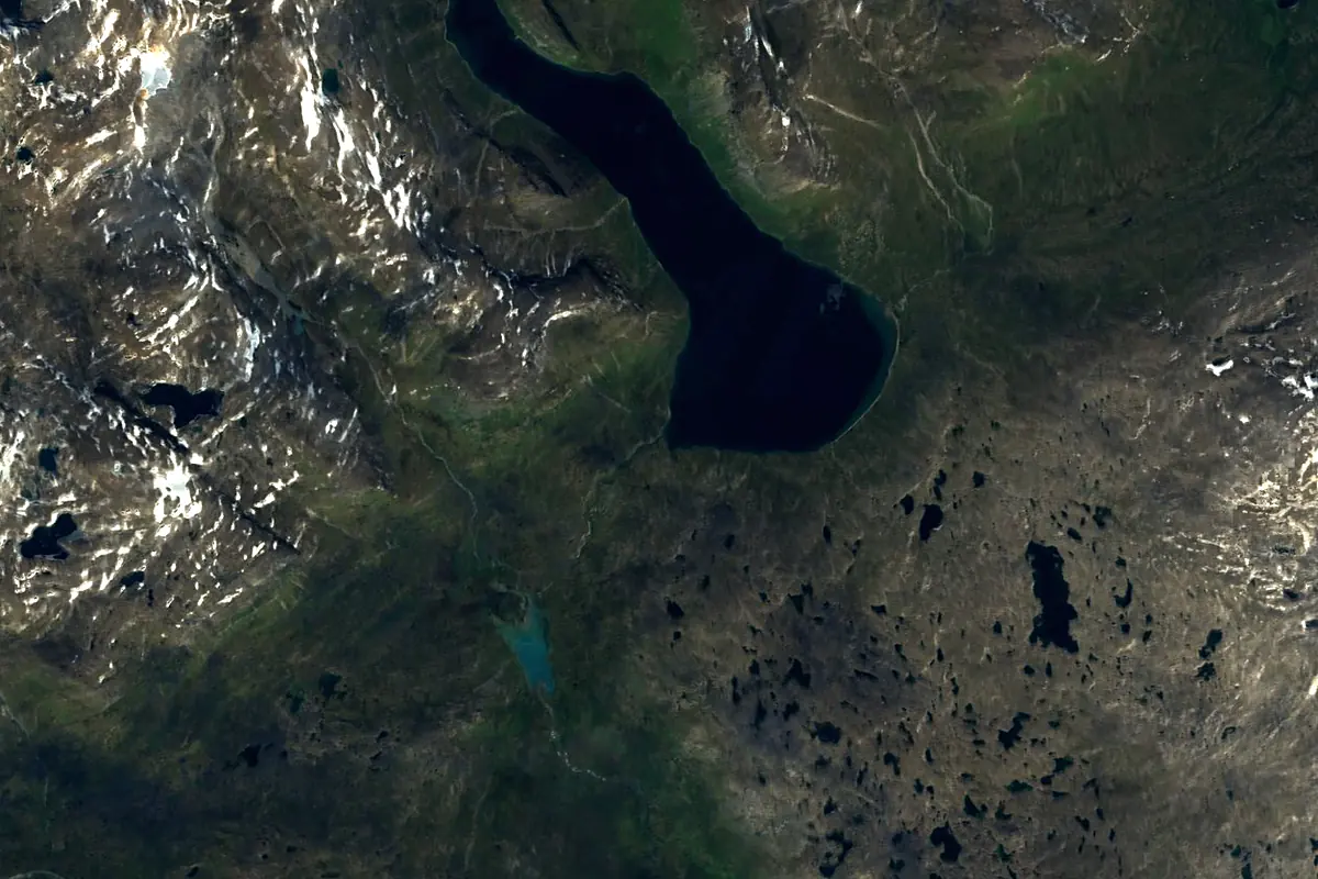
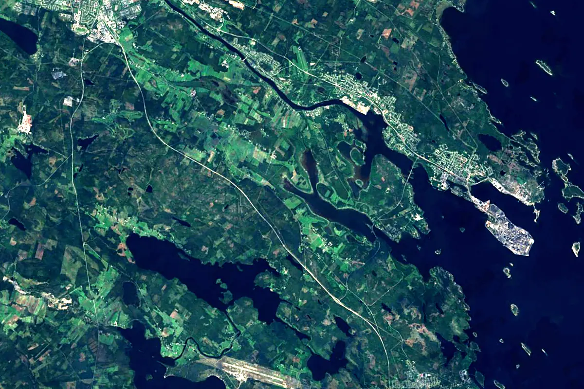
Sentinel-2 cloudless 2016 by EOX IT Services GmbH (contains modified Copernicus Sentinel data 2016), CC BY 4.0. The glowing line is the river as drawn by RiverATLAS.
Photos
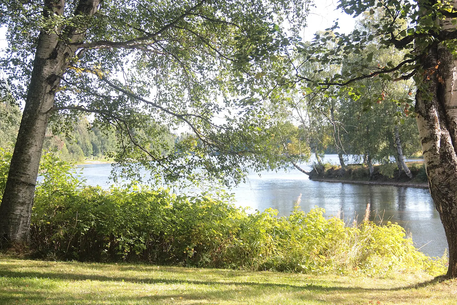
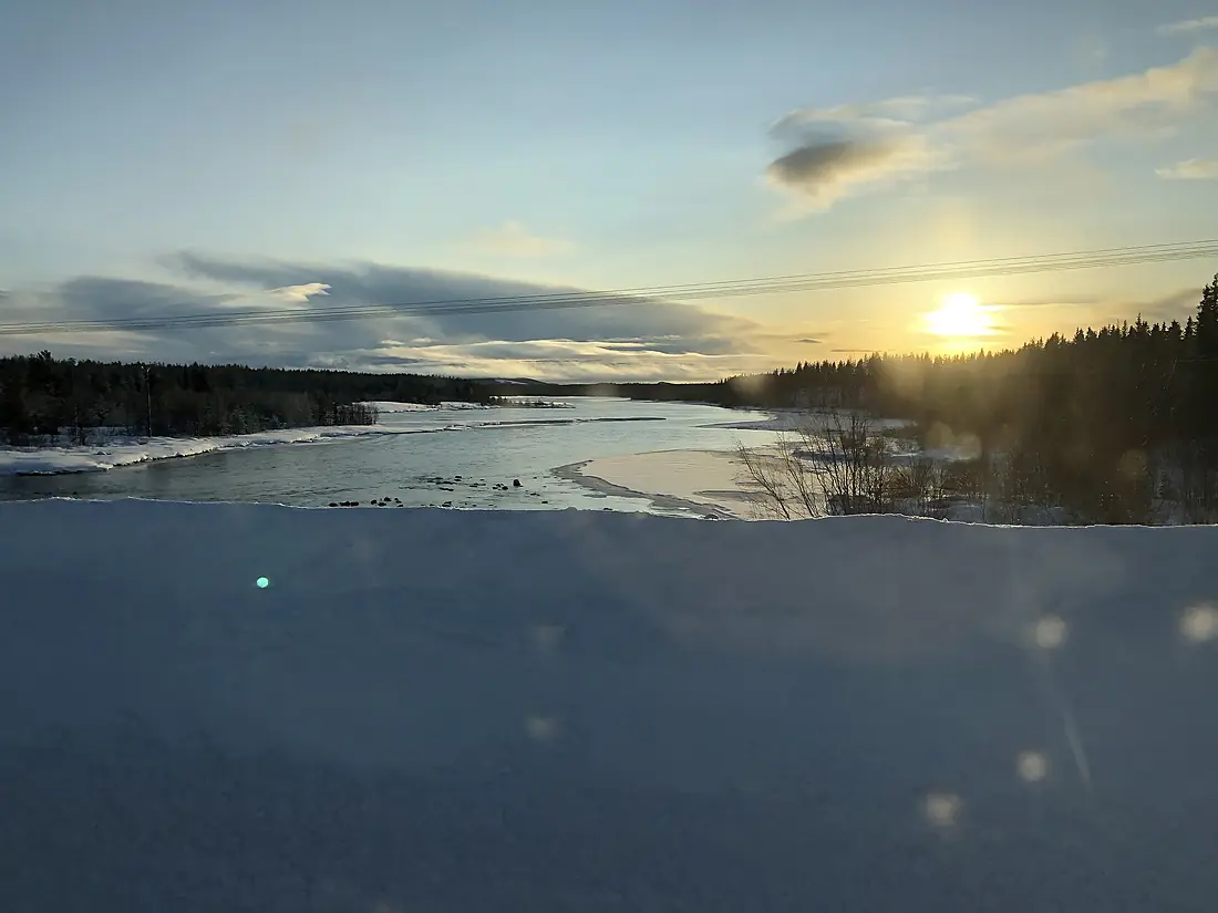
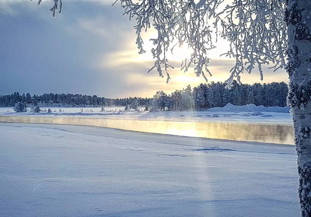
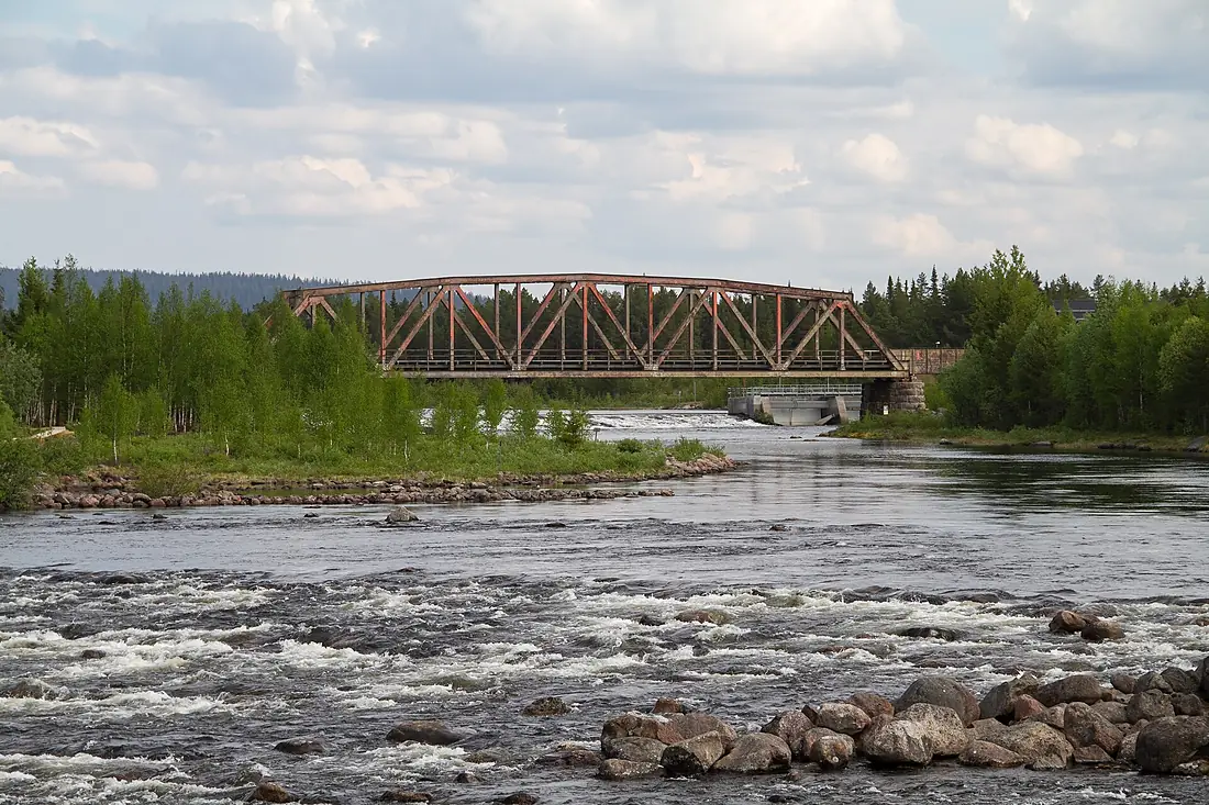
Skellefte River in pictures
Tributaries
Where it flows, and what flows into it
Tributaries (2)
Also: Malån, Klintforsån
Nearby
Rivers nearby
Sweden400 km160 m³/s78 km awayUme älvSweden467 km450 m³/s109 km awayVindel RiverSweden450 km250 m³/s104 km awayKalix RiverSweden461 km290 m³/s161 km awayTorne RiverSweden470 km380 m³/s190 km awayKemijoki Finland550 km560 m³/s200 km awayOulujokiFinland107 km250 m³/s209 km awayIijokiFinland370 km200 m³/s211 km away
Where these numbers come from
| Name, length, places | Wikidata (Q1410160) · CC0 |
|---|---|
| Course, profile, basin | RiverATLAS v1.0 (HydroATLAS, Linke et al. 2019) · CC BY 4.0 — followed from the source to the mouth given by Wikidata |
| Flow | WaterGAP (RiverATLAS), 1971–2000 · CC BY 4.0 |
| Climate along the river | WorldClim (RiverATLAS), 1970–2000 · CC BY 4.0 |
| Towns, bridges, dams | Wikidata · CC0; GeoNames · CC BY 4.0 |
| Along the river | © OpenStreetMap contributors · ODbL |
| Images | EOX Sentinel-2 cloudless 2016 · CC BY 4.0; Wikimedia Commons |
| Our other atlases | Lakeyas, Coastya, Peakyas, Islandyas — Wikidata · CC0; © OpenStreetMap contributors · ODbL; GeoNames · CC BY 4.0; HydroLAKES · CC BY 4.0; NOAA OISST |
Every source and licence is on the data sources page.
The family
Do you prefer beaches, lakes, mountains, waterfalls, islands, rivers or canyons?
Same idea, other landscapes: field atlases built on open data, month by month, in seven languages.
beaches Find your beach: sea temperature, sun and swimming month by month.Visit lakes
 Every lake on Earth: water temperature, ice, depth and the shore.Coming soonVisit mountains
 Every summit in 3D: summit weather, the 0 °C line, huts and trails.Visit
  waterfalls
 Every waterfall: height, flow month by month and when it roars.Coming soonVisit islands
 Every island from the sea up: size, sea temperature, ferries and 3D.Coming soonVisit
  rivers
 Every river from source to sea: the journey, the flow and the basin in numbers.You are here
 canyons
 Every canyon cut to scale: depth to the floor, rim and floor temperatures, trails and viewpoints.Coming soonVisit