River
Venta
346 km from source to mouth · Latvia and Lithuania.

 Latvia and LithuaniaFlows into Baltic Sea3rd longest in Latvia
In numbers
Length
346km
Average flow
96m³/s
Basin
11,847km²
Drop
152m
from 151 m to -1 m
Countries
2
The journey
From source to mouth
346 km of river and 35 stops on the way: 14 towns and cities on its banks, dams, bridges and the tributaries that feed it.
- 0 kmTelšiai District Municipalityat 151 m
- 3 kmLūkstas9.6 km²
- 13 kmStervas1.2 km²
- 16 kmBiržulis1.1 km²
- 84 kmPapilė1,007 people
- 98 kmVenta2,155 people
- 100 kmDabikinė Rivertributary
- 100 kmUogystributary
- 100 kmAvižlystributary
- 101 kmVirvytėtributary
- 104 kmViekšniai2,180 people
- 110 kmPievystributary
- 117 kmKrakiai642 people
- 124 kmMažeikiai33,249 people
- 124 kmMazeikiai32,470 people
- 135 kmViešetė rivertributary
- 139 kmŠerkšnėtributary
- 148 kmVadakstetributary
- 159 kmLosistributary
- 159 kmVarduvatributary
- 162 kmNīgrande366 people
- 178 kmLētīžatributary
- 198 kmSkrunda1,704 people
- 199 kmCiecere Rivertributary
- 214 kmRaņķi157 people
- 246 kmVenta Rapid
- 246 kmKuldīga9,855 people
- 246 kmKuldīga vaulted bridge
- 252 kmRiežupetributary
- 266 kmAbava Rivertributary
- 273 kmMazais Nabas ezers0.6 km²
- 274 kmLielais Nabas ezers0.7 km²
- 308 kmVentava335 people
- 313 kmZūras289 people
- 322 kmVārve298 people
- 341 kmVentspils32,723 people
- 346 kmBaltic Seaat -1 m
Water level along the river (RiverATLAS; the height is exaggerated). Towns: GeoNames and Wikidata; bridges, dams and tributaries: Wikidata.
River in Latvia and Lithuania
At the mouth it carries 96 m³/s on average: an Olympic pool every 26 seconds. It drops from 151 m to -1 m, 0.4 m per kilometre on average. Its basin covers 11,847 km², about the size of QA. 325,000 people live in it. Highest water: from April to May; lowest: from January to March. No large dam holds it back: it is one of the world's free-flowing rivers.
Where to start
- MažeikiaiLargest city on its banks · 33,249 people
- Palanga International Airport (PLQ)Nearest airport with scheduled flights, 86 km from the cityCar hire at PLQ airport (Palanga)Discover Cars · Affiliate link↗
- On the water15 ferry piers, marinas, boat rentals and boat ramps along the river (OpenStreetMap)
- Kayak and canoe1 put-ins and rapids mapped (OpenStreetMap)
- From June to AugustThe best months to visit
Venta, month by month
Highest water: from April to May
Lowest water: from January to March. Best months to visit: from June to August.
From about 55 m³/s in the lowest month to 330 m³/s in the highest. An estimate: the monthly flow is modelled from the lowest and highest months of WaterGAP (RiverATLAS, 1971–2000) and the rain and snow along the river (WorldClim). Dams change the real rhythm. The chip is the average air temperature; below it, the month's rain.
Plan the trip
Plan the trip: boat trips, a bed by the river, a car
Some links above are affiliate links: if you book through them we may earn a commission, at no extra cost to you. It never changes what the data on this page says.
The basin
Venta: the basin in numbers
11,843 km² of land send their water to this river. This is what lives on it.
- 325,000people live in the basin
- 28/km²people per km²
- 90maverage altitude of the basin
- 704mmof rain a year (basin average)
- 6.2°Caverage air temperature
- 9%protected areas
- 0.6%covered by lakes
What covers the basin
- 28% Forest
- 42% Cropland
- 8% Pasture
- 1% Towns and cities
RiverATLAS (HydroATLAS v1.0, CC BY 4.0): land cover, people, protected areas, glaciers and dams over the whole basin upstream of the mouth.
Along the river
Venta: what you find on the way
- 21WeirsVirvyčia, Alekšupītes ūdenskritums and 19 more
- 3WaterfallsGobdziņu gravas ūdenskritums, Lēpenieku ūdenskritums, Venta Rapid
- 1Rapids
- 8Boat ramps
- 3Ferry piersVentspils Ferry Terminal, Tūristu kuģīša "Hercogs Jēkabs" piestātne
- 2MarinasVecā zvejas osta, Ventspils Marina
- 4River beachesTryškių maudykla, Surfing zone, Pludmales volejbola zona and 1 more
From OpenStreetMap, within 1.8 km of the river. Not mapped is not the same as not there.
Cross-checked with our atlases
Venta in our other atlases
What our sister atlases know about the waterfalls on this river, the lakes it flows through, the beaches at its mouth, the mountains where it rises and the islands off its mouth.
 1waterfall on the riverCascadyas
 5lakes on its wayLakeyas
 1beach at the mouth or on the banksCoastya
Waterfalls (1)
On the river, by Cascadyas
- Venta Rapidkm 197
Cascadyas is coming soonOpen Cascadyas ↗
Lakes and reservoirs (5)
Lakes it flows through, by Lakeyas
- Lūkstaskm 3 · 17 m deep9.6km²
- Stervaskm 101.2km²
- Biržuliskm 131.1km²
- Mazais Nabas ezerskm 219 · 5 m deep0.6km²
- Lielais Nabas ezerskm 220 · 6 m deep0.7km²
Lakeyas is coming soonOpen Lakeyas ↗
Beaches (1)
At the mouth (25 km) and on the banks, by Coastya
- Parventas pludmale3.0 km away18.0°C
From space
The source and the mouth, seen from orbit
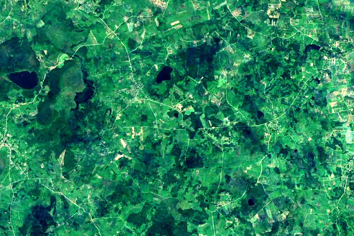
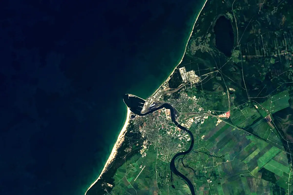
Sentinel-2 cloudless 2016 by EOX IT Services GmbH (contains modified Copernicus Sentinel data 2016), CC BY 4.0. The glowing line is the river as drawn by RiverATLAS.
Photos
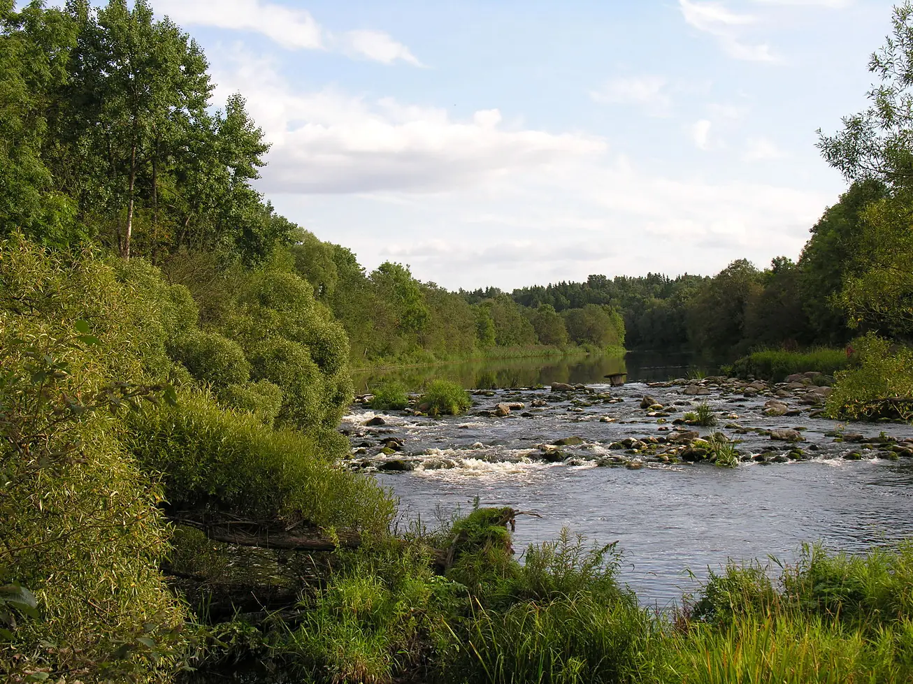
Venta in pictures
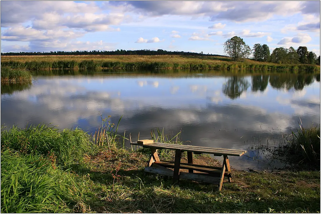
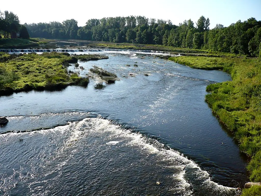
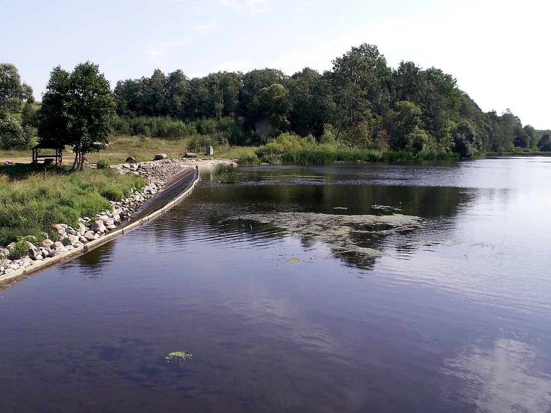
Tributaries
Where it flows, and what flows into it
Tributaries (26)
Also: Abava River, Virvytė, Vadakste, Varduva, Dabikinė River, Aunuva, Šerkšnė, Avižlys, Uogys, Riežupe, Losis, Ciecere River, Žižma, Pievys, Viešetė river, Gansė, Ušna, Lētīža, Eglesys, Varmė, Knituoja, Alekšupīte, Zaņa, Vēždūka
Nearby
Rivers nearby
Latvia1,020 km680 m³/s157 km awayLielupeLatvia119 km110 m³/s147 km awayGaujaLatvia453 km71 m³/s166 km awayNemanLithuania937 km680 m³/s230 km awaySalacaLatvia99 km31 m³/s171 km awayNemunėlisLatvia191 km95 m³/s184 km awayPärnu River Estonia145 km48 m³/s204 km awayKasari RiverEstonia115 km37 m³/s200 km away
Where these numbers come from
| Name, length, places | Wikidata (Q215397) · CC0 |
|---|---|
| Course, profile, basin | RiverATLAS v1.0 (HydroATLAS, Linke et al. 2019) · CC BY 4.0 — followed from the source to the mouth given by Wikidata |
| Flow | WaterGAP (RiverATLAS), 1971–2000 · CC BY 4.0 |
| Climate along the river | WorldClim (RiverATLAS), 1970–2000 · CC BY 4.0 |
| Towns, bridges, dams | Wikidata · CC0; GeoNames · CC BY 4.0 |
| Along the river | © OpenStreetMap contributors · ODbL |
| Images | EOX Sentinel-2 cloudless 2016 · CC BY 4.0; Wikimedia Commons |
| Our other atlases | Cascadyas, Lakeyas, Coastya — Wikidata · CC0; © OpenStreetMap contributors · ODbL; GeoNames · CC BY 4.0; HydroLAKES · CC BY 4.0; NOAA OISST |
Every source and licence is on the data sources page.
The family
Do you prefer beaches, lakes, mountains, waterfalls, islands, rivers or canyons?
Same idea, other landscapes: field atlases built on open data, month by month, in seven languages.
beaches Find your beach: sea temperature, sun and swimming month by month.Visit lakes
 Every lake on Earth: water temperature, ice, depth and the shore.Coming soonVisit
  mountains
 Every summit in 3D: summit weather, the 0 °C line, huts and trails.Visit waterfalls
 Every waterfall: height, flow month by month and when it roars.Coming soonVisit
  islands
 Every island from the sea up: size, sea temperature, ferries and 3D.Coming soonVisit
  rivers
 Every river from source to sea: the journey, the flow and the basin in numbers.You are here
 canyons
 Every canyon cut to scale: depth to the floor, rim and floor temperatures, trails and viewpoints.Coming soonVisit