River
Vychegda
1,130 km from source to mouth · Russia.
 RussiaFlows into Northern Dvina
In numbers
Length
1,130km
Average flow
1,200m³/s
Basin
121,000km²
Drop
294m
from 187 m to -107 m
Country
1
The journey
From source to mouth
1,130 km of river and 68 stops on the way: 0 towns and cities on its banks, dams, bridges and the tributaries that feed it.
- 0 kmTiman Ridgeat 187 m
- 59 kmVeryutributary
- 61 kmPuzlatributary
- 95 kmCher-Vychegodskayatributary
- 95 kmKenzhantributary
- 106 kmVoltributary
- 107 kmKosyutributary
- 110 kmPomoztributary
- 190 kmOntizhegatributary
- 194 kmTimshertributary
- 197 kmYuzhnaya Mylvatributary
- 205 kmDomyoltributary
- 222 kmNemtributary
- 222 kmLopyutributary
- 227 kmNyushortributary
- 236 kmParchyutributary
- 277 kmZhezhimyutributary
- 306 kmNorth Keltmatributary
- 324 kmVuktyltributary
- 340 kmKulomyutributary
- 355 kmShozhymtributary
- 355 kmNosimtributary
- 404 kmKuzobyutributary
- 416 kmAnybtributary
- 426 kmChevyutributary
- 442 kmEzhyesyutributary
- 457 kmRennyobtributary
- 470 kmVisheratributary
- 479 kmPonanyutributary
- 487 kmNyobyutributary
- 490 kmChortastributary
- 497 kmUgdymtributary
- 514 kmPozhyantributary
- 537 kmLokchimtributary
- 551 kmMadzhatributary
- 565 kmKiyayutributary
- 572 kmTashyutributary
- 588 kmLemyutributary
- 607 kmSysolatributary
- 615 kmKizesyutributary
- 615 kmChovyutributary
- 642 kmTybadyutributary
- 650 kmEndyyutributary
- 659 kmYazyoltributary
- 666 kmKylegyutributary
- 683 kmPozhegtributary
- 717 kmKoryevtributary
- 723 kmYuromkatributary
- 748 kmVymtributary
- 807 kmKunesyutributary
- 821 kmYortymtributary
- 828 kmYarengatributary
- 828 kmKizhmolatributary
- 831 kmShiyestributary
- 852 kmYagveltributary
- 864 kmLenkatributary
- 865 kmVozhemkatributary
- 882 kmBolshaya Shonomatributary
- 883 kmGizhegtributary
- 906 kmMiryunniktributary
- 906 kmUrdomkatributary
- 926 kmBerdyshevkatributary
- 926 kmSoygatributary
- 926 kmTundiykatributary
- 932 kmChainkatributary
- 933 kmVerkhnyaya Lupyatributary
- 955 kmTornovkatributary
- 955 kmChakulkatributary
- 977 kmNizhnyaya Lupyatributary
- 1,130 kmNorthern Dvinaat -107 m
Water level along the river (RiverATLAS; the height is exaggerated). Towns: GeoNames and Wikidata; bridges, dams and tributaries: Wikidata.
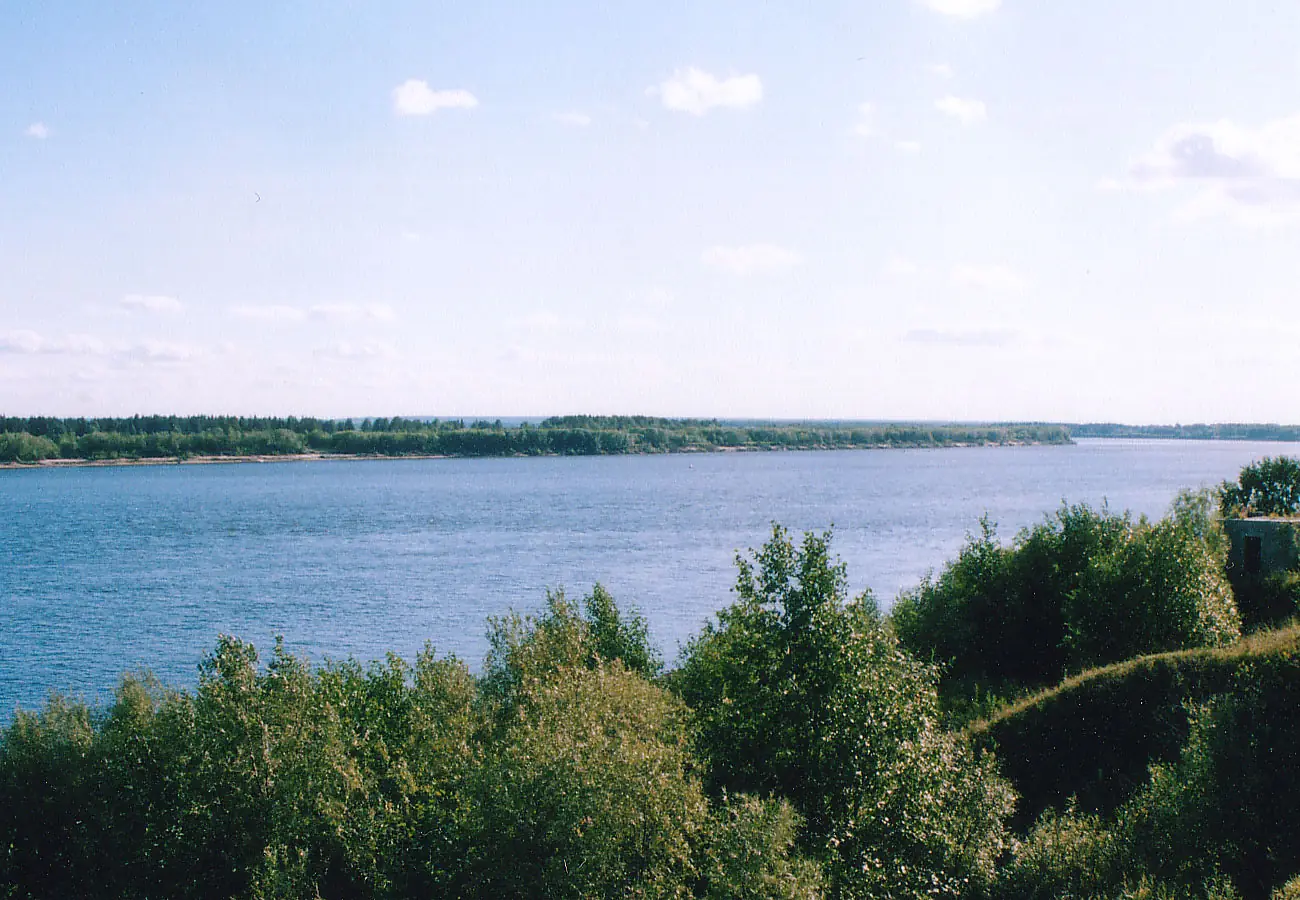
River in Komi and Arkhangelsk Oblast, Russia
At the mouth it carries 1,160 m³/s on average: an Olympic pool every 2.2 seconds. It drops from 187 m to -107 m, 0.3 m per kilometre on average. Its basin covers 121,000 km², about the size of ER. 561,000 people live in it. Highest water, with the snowmelt: from May to July; lowest: from January to March. No large dam holds it back: it is one of the world's free-flowing rivers.
Where to start
- EzhvaLargest city on its banks · 56,000 people
- Syktyvkar Airport (SCW)Nearest airport with scheduled flights, 19 km from the city
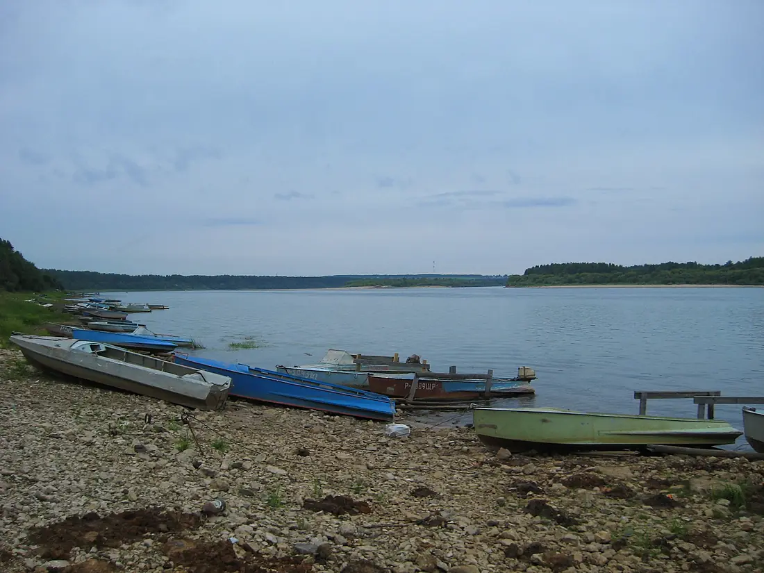
- On the water30 ferry piers, marinas, boat rentals and boat ramps along the river (OpenStreetMap)
- From June to AugustThe best months to visit
Vychegda, month by month
Highest water: from May to July
Lowest water: from January to March. Freezing months (average below −4 °C): from November to March. Melting snow makes up much of its water. Best months to visit: from June to August.
From about 95 m³/s in the lowest month to 860 m³/s in the highest. An estimate: the monthly flow is modelled from the lowest and highest months of WaterGAP (RiverATLAS, 1971–2000) and the rain and snow along the river (WorldClim). Dams change the real rhythm. The chip is the average air temperature; below it, the month's rain.
Plan the trip
Plan the trip: boat trips, a bed by the river, a car
Some links above are affiliate links: if you book through them we may earn a commission, at no extra cost to you. It never changes what the data on this page says.
The basin
Vychegda: the basin in numbers
119,862 km² of land send their water to this river. This is what lives on it.
- 561,000people live in the basin
- 5/km²people per km²
- 150maverage altitude of the basin
- 607mmof rain a year (basin average)
- 0.1°Caverage air temperature
- 7%protected areas
- 0.2%covered by lakes
- 1%permafrost
What covers the basin
- 90% Forest
- 1% Cropland
- 2% Pasture
RiverATLAS (HydroATLAS v1.0, CC BY 4.0): land cover, people, protected areas, glaciers and dams over the whole basin upstream of the mouth.
Along the river
Vychegda: what you find on the way
- 1Boat ramps
- 25Ferry piers
- 2Marinas
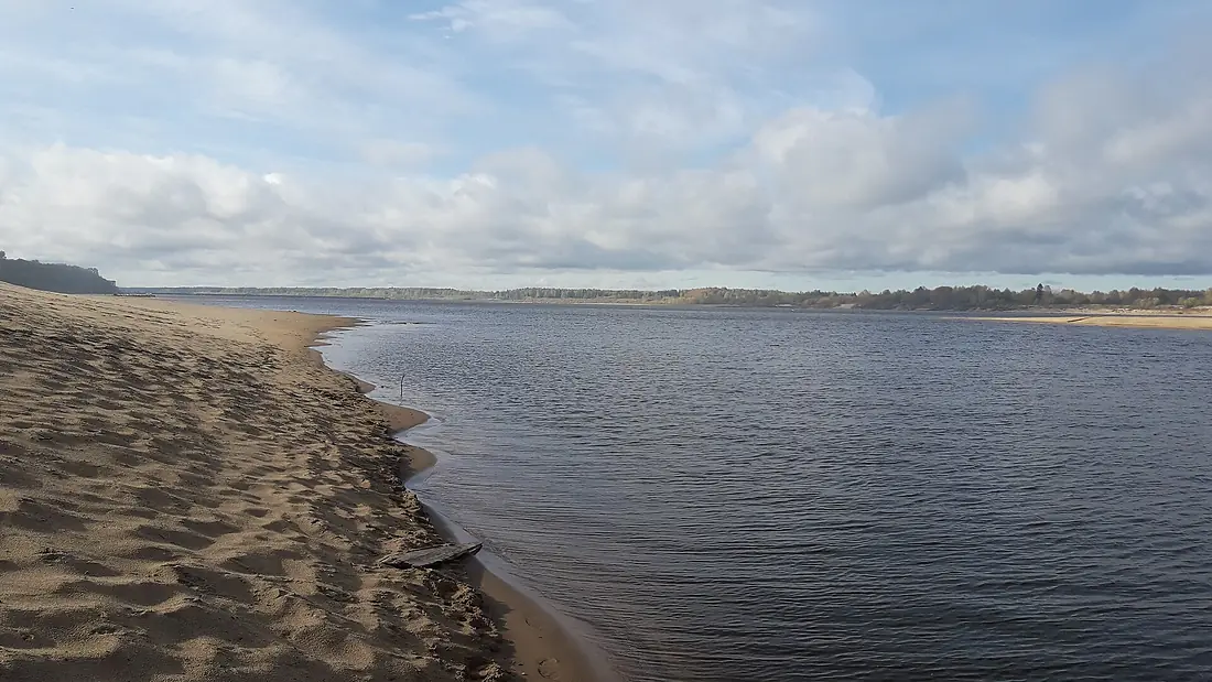
- 3River beaches
From OpenStreetMap, within 2.4 km of the river. Not mapped is not the same as not there.
From space
The source and the mouth, seen from orbit
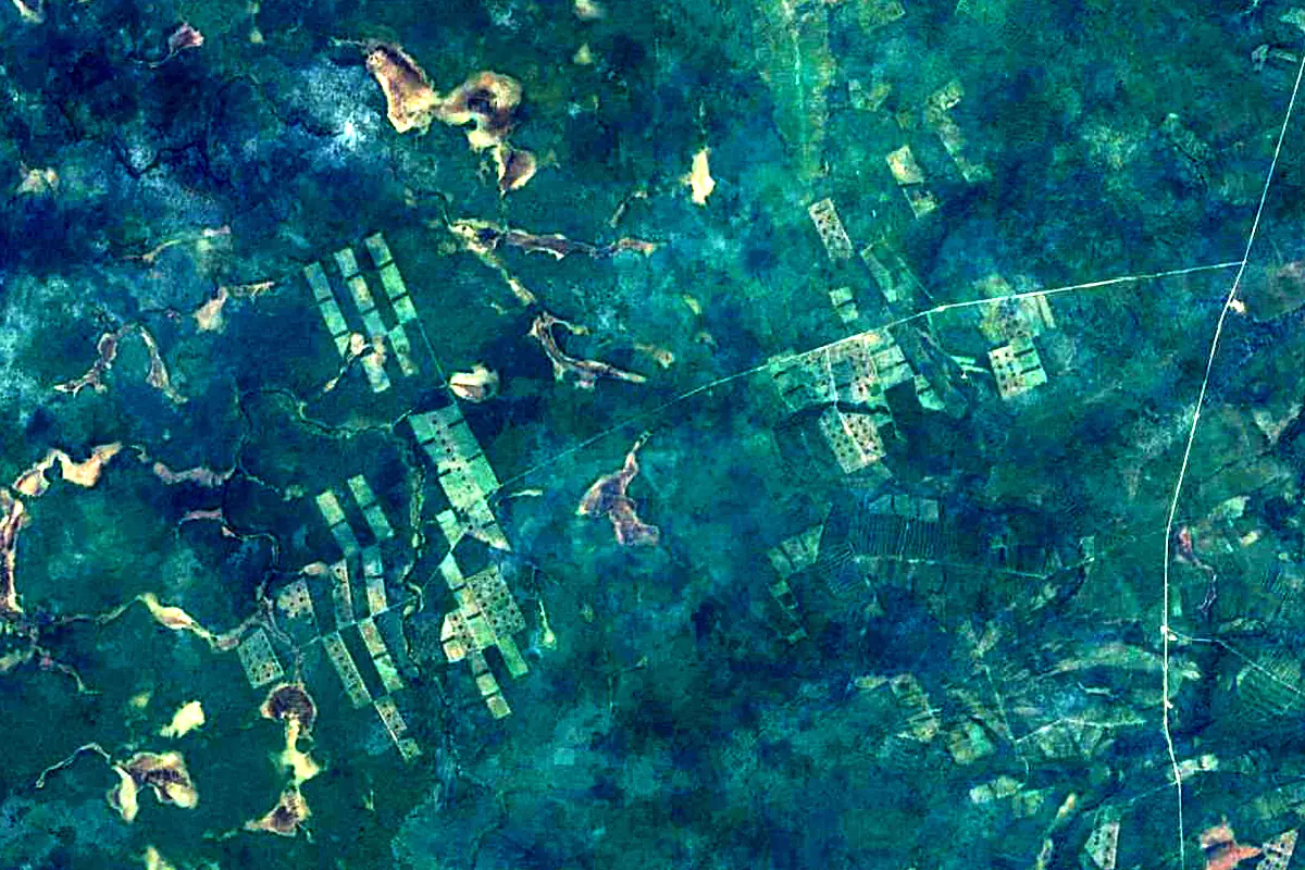
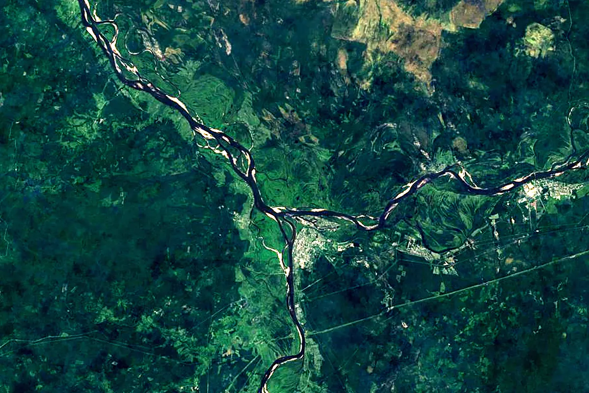
Sentinel-2 cloudless 2016 by EOX IT Services GmbH (contains modified Copernicus Sentinel data 2016), CC BY 4.0. The glowing line is the river as drawn by RiverATLAS.
Tributaries
Where it flows, and what flows into it
It flows into
Northern DvinaRussia744 km3,500 m³/sTributaries (106)
Also: Vym, Yarenga, Sysola, Vishera, North Keltma, Viled, Nem, Lokchim, Verkhnyaya Lupya, Berdyshevka, Vol, Bolshaya Koryazhemka, Nyuba, Cher-Vychegodskaya, Nyobyu, Limenda, Kizhmola, Shiyes, Soyga, Lenka, Yortym, Vapol, Bolshaya Vatsa, Timsher
Where these numbers come from
| Name, length, places | Wikidata (Q65383) · CC0 |
|---|---|
| Course, profile, basin | RiverATLAS v1.0 (HydroATLAS, Linke et al. 2019) · CC BY 4.0 — followed from the source to the mouth given by Wikidata |
| Flow | WaterGAP (RiverATLAS), 1971–2000 · CC BY 4.0 |
| Climate along the river | WorldClim (RiverATLAS), 1970–2000 · CC BY 4.0 |
| Towns, bridges, dams | Wikidata · CC0; GeoNames · CC BY 4.0 |
| Along the river | © OpenStreetMap contributors · ODbL |
| Images | EOX Sentinel-2 cloudless 2016 · CC BY 4.0; Wikimedia Commons |
Every source and licence is on the data sources page.
The family
Do you prefer beaches, lakes, mountains, waterfalls, islands, rivers or canyons?
Same idea, other landscapes: field atlases built on open data, month by month, in seven languages.
 beaches
 Find your beach: sea temperature, sun and swimming month by month.Visit
  lakes
lakes Every lake on Earth: water temperature, ice, depth and the shore.Coming soonVisit
  mountains
 Every summit in 3D: summit weather, the 0 °C line, huts and trails.Visit
  waterfalls
 Every waterfall: height, flow month by month and when it roars.Coming soonVisit
  islands
 Every island from the sea up: size, sea temperature, ferries and 3D.Coming soonVisit
  rivers
 Every river from source to sea: the journey, the flow and the basin in numbers.You are here
 canyons
 Every canyon cut to scale: depth to the floor, rim and floor temperatures, trails and viewpoints.Coming soonVisit