River
Waikato River
425 km from source to mouth · New Zealand.
 New ZealandFlows into Tasman Sea1st longest in New Zealand
In numbers
Length
425km
Average flow
340m³/s
Basin
13,701km²
Drop
918m
from 918 m to 0 m
Country
1
The journey
From source to mouth
425 km of river and 46 stops on the way: 10 towns and cities on its banks, dams, bridges and the tributaries that feed it.
- 0 kmLake Taupōat 918 m
- 18 kmWaikato Falls
- 37 kmTurangi3,960 people
- 86 kmLake Taupō612 km²
- 89 kmTaupo27,000 people
- 93 kmHuka Falls11 m
- 104 kmLake Rotokawa0.7 km²
- 105 kmNgaawapurua Rapids
- 158 kmLake Ohakuri7.2 km²
- 163 kmAniwhaniwha Falls
- 166 kmLake Ātiamuri1.2 km²
- 189 kmLake Whakamaru7.2 km²
- 189 kmWhakamaru Dam
- 201 kmLake Maraetai3.7 km²
- 211 kmLake Waipapa0.8 km²
- 238 kmArapuni Dam
- 240 kmArapuni Suspension Bridge
- 243 kmLake Arapuni44 km²
- 267 kmLake Karapiro11 km²
- 267 kmKarāpiro Power Station
- 274 kmFergusson Bridge
- 275 kmVictoria Bridge
- 278 kmCambridge15,192 people
- 298 kmTe Ara Pekapeka Bridge
- 299 kmHamilton Gardens Waterfall
- 299 kmCobham Bridge
- 300 kmLake Rotoroa / Hamilton Lake0.5 km²
- 300 kmFrankton Junction8,710 people
- 302 kmHamilton East15,300 people
- 302 kmClaudelands Bridge
- 303 kmHamilton192,100 people
- 303 kmClaudelands7,180 people
- 303 kmWhitiora Bridge
- 304 kmFairfield Bridge
- 308 kmPukete Bridge
- 322 kmNgaruawahia8,500 people
- 324 kmWaterworks Waterfalls
- 338 kmLake Waahi4.0 km²
- 338 kmHuntly8,850 people
- 339 kmLake Hakanoa0.5 km²
- 349 kmLake Rotongaro2.6 km²
- 352 kmLake Waikare33 km²
- 355 kmLake Kopuera0.4 km²
- 359 kmLake Whangape9.1 km²
- 387 kmMangatāwhiri Rivertributary
- 393 kmTuakau Bridge
- 395 kmTuakau6,180 people
- 425 kmTasman Seaat 0 m
Water level along the river (RiverATLAS; the height is exaggerated). Towns: GeoNames and Wikidata; bridges, dams and tributaries: Wikidata.
Longest river in New Zealand
At the mouth it carries 340 m³/s on average: an Olympic pool every 7.4 seconds. It drops from 918 m to 0 m, 2.2 m per kilometre on average. Its basin covers 13,701 km², about the size of BS. 325,000 people live in it. Highest water: from July to September. Its dams hold back little of its water (5.5% of a year's flow).
Where to start
- HamiltonLargest city on its banks · 192,100 people
- Hamilton International Airport (HLZ)Nearest airport with scheduled flights, 10 km from the cityCar hire at TRG airport (Tauranga)Discover Cars · Affiliate link↗
- On the water52 ferry piers, marinas, boat rentals and boat ramps along the river (OpenStreetMap)
- Kayak and canoe2 put-ins and rapids mapped (OpenStreetMap)
- From January to April and NovemberThe best months to visit
Waikato River, month by month
Highest water: from July to September
Best months to visit: from January to April and November.
From about 220 m³/s in the lowest month to 530 m³/s in the highest. An estimate: the monthly flow is modelled from the lowest and highest months of WaterGAP (RiverATLAS, 1971–2000) and the rain and snow along the river (WorldClim). Dams change the real rhythm. The chip is the average air temperature; below it, the month's rain.
Plan the trip
Plan the trip: boat trips, a bed by the river, a car
Some links above are affiliate links: if you book through them we may earn a commission, at no extra cost to you. It never changes what the data on this page says.
The basin
Waikato River: the basin in numbers
14,397 km² of land send their water to this river. This is what lives on it.
- 325,000people live in the basin
- 23/km²people per km²
- 347maverage altitude of the basin
- 1,581mmof rain a year (basin average)
- 12.4°Caverage air temperature
- 13%protected areas
- 5.3%covered by lakes
- 0.6km³held in reservoirs
What covers the basin
- 25% Forest
- 1% Cropland
- 35% Pasture
- 1% Towns and cities
RiverATLAS (HydroATLAS v1.0, CC BY 4.0): land cover, people, protected areas, glaciers and dams over the whole basin upstream of the mouth.
Along the river
Waikato River: what you find on the way
- 8WeirsTaupō Control Gates and 7 more
- 1Locks
- 18WaterfallsWaikato Falls, Waihi Falls, Huka Falls and 15 more
- 2Rapids
- 50Boat rampsKuratau Boat Ramp, Lake Ohakuri Boat Ramp, Hamilton Yacht Club and 47 more
- 2MarinasTokaanu Marina
- 2River beachesTaupo Beach (Yacht Club), Hot Water Beach
From OpenStreetMap, within 1.9 km of the river. Not mapped is not the same as not there.
Cross-checked with our atlases
Waikato River in our other atlases
What our sister atlases know about the waterfalls on this river, the lakes it flows through, the beaches at its mouth, the mountains where it rises and the islands off its mouth.
 6waterfalls on the riverCascadyas
 16lakes on its wayLakeyas
 1beach at the mouth or on the banksCoastya
 18mountains at the sourcePeakyas
 1island off the mouthIslandyas
Waterfalls (6)
On the river, by Cascadyas
- Waikato Fallskm 17
- Huka Fallskm 8811m
- Ngaawapurua Rapidskm 100
- Aniwhaniwha Fallskm 155
- Hamilton Gardens Waterfallkm 284
- Waterworks Waterfallskm 308
Cascadyas is coming soonOpen Cascadyas ↗
Lakes and reservoirs (16)
Lakes it flows through, by Lakeyas
- Lake Taupōkm 82 · 186 m deep612km²
- Lake Ohakurikm 1517.2km²
- Lake Maraetaikm 1923.7km²
- Lake Arapunikm 23144km²
- Lake Karapirokm 25411km²
- Lake Rotoroa / Hamilton Lakekm 286 · 6 m deep0.5km²
- Lake Waikarekm 33533km²
- Lake Whangapekm 3419.1km²
8 more on LakeyasLakeyas is coming soonOpen Lakeyas ↗
Beaches (1)
At the mouth (25 km) and on the banks, by Coastya
- Karioitahi Beach13 km away20.8°C
Mountains at the source (18)
Within 15 km of the source, by Peakyas
- Waipahihi3.4 km away1,546m
- Wharepu9.1 km away1,108m
- Waihohonu7.1 km away987m
- Urchin7.1 km away
- Motutere9.3 km away
- Tara o te Marama11 km away
- Sharp Cone13 km away
- Umukarikari14 km away
10 more on PeakyasOpen Peakyas ↗
Islands off the mouth (1)
Within 30 km of the mouth, by Islandyas
- Kauritutahi Island30 km away
Islandyas is coming soonOpen Islandyas ↗
From space
The source and the mouth, seen from orbit
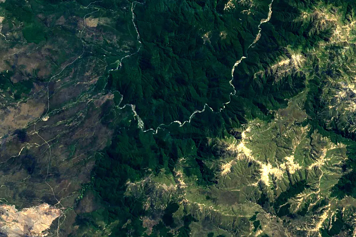
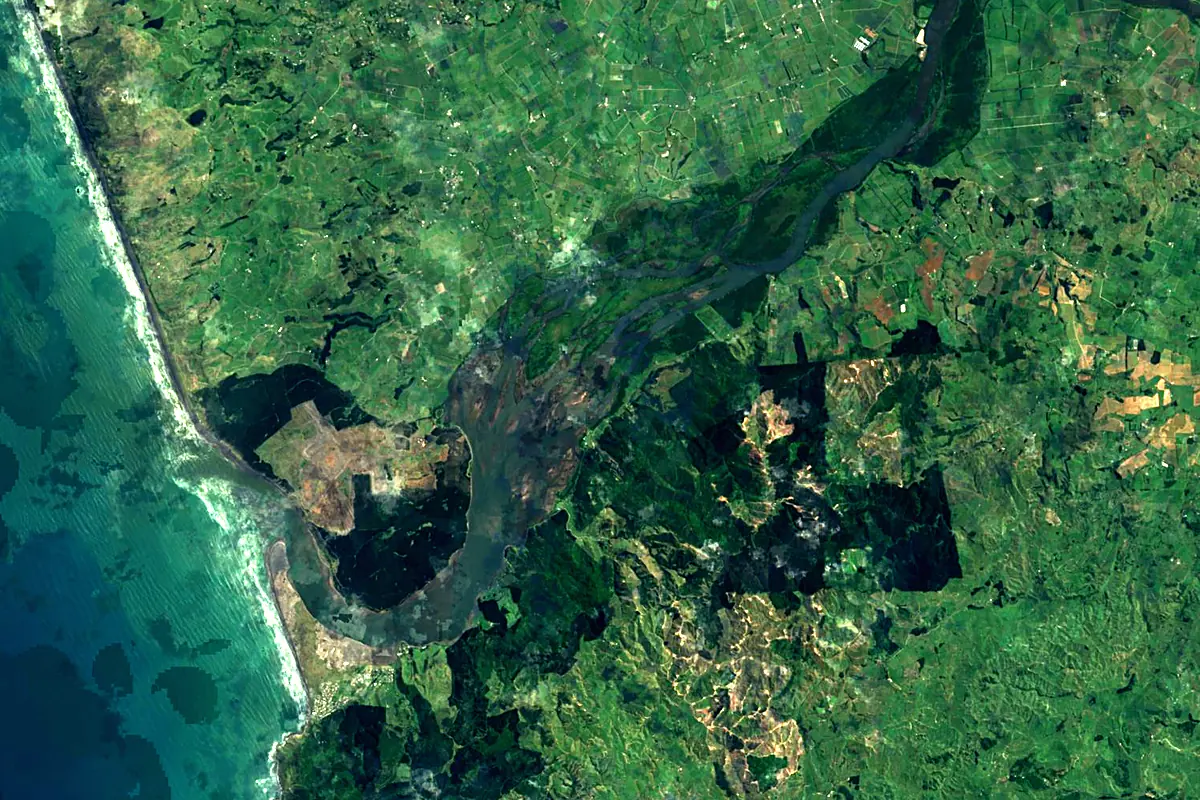
Sentinel-2 cloudless 2016 by EOX IT Services GmbH (contains modified Copernicus Sentinel data 2016), CC BY 4.0. The glowing line is the river as drawn by RiverATLAS.
Photos
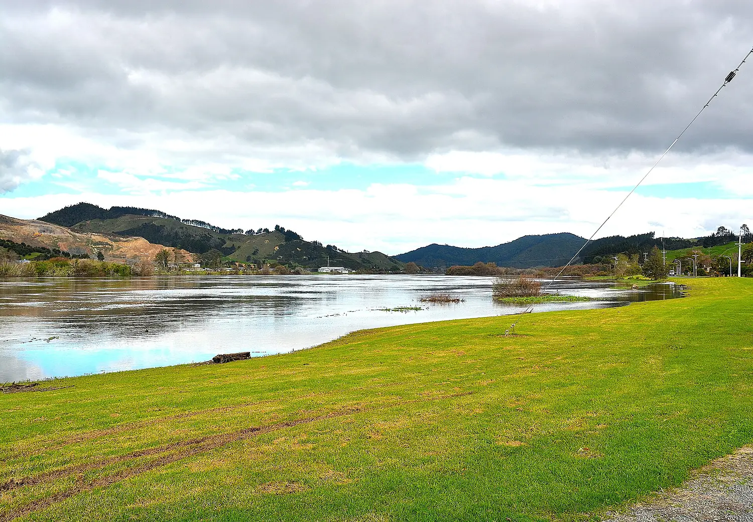
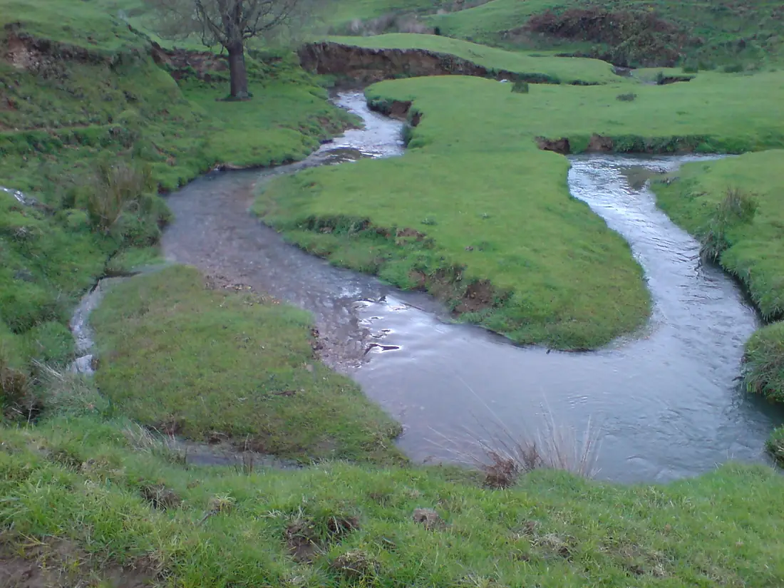
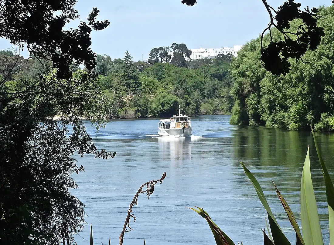
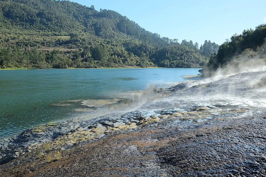
Waikato River in pictures
Tributaries
Where it flows, and what flows into it
Tributaries (7)
Also: Waipā River, Mangatāwhiri River, Waipakihi River, Whangamarino River, Awaroa River, Wairakei River, Pōkaiwhenua Stream
Nearby
Rivers nearby
Where these numbers come from
| Name, length, places | Wikidata (Q1048219) · CC0 |
|---|---|
| Course, profile, basin | RiverATLAS v1.0 (HydroATLAS, Linke et al. 2019) · CC BY 4.0 — followed along the river network from the point given by Wikidata |
| Flow | WaterGAP (RiverATLAS), 1971–2000 · CC BY 4.0 |
| Climate along the river | WorldClim (RiverATLAS), 1970–2000 · CC BY 4.0 |
| Towns, bridges, dams | Wikidata · CC0; GeoNames · CC BY 4.0 |
| Along the river | © OpenStreetMap contributors · ODbL |
| Images | EOX Sentinel-2 cloudless 2016 · CC BY 4.0; Wikimedia Commons |
| Our other atlases | Cascadyas, Lakeyas, Coastya, Peakyas, Islandyas — Wikidata · CC0; © OpenStreetMap contributors · ODbL; GeoNames · CC BY 4.0; HydroLAKES · CC BY 4.0; NOAA OISST |
Every source and licence is on the data sources page.
The family
Do you prefer beaches, lakes, mountains, waterfalls, islands, rivers or canyons?
Same idea, other landscapes: field atlases built on open data, month by month, in seven languages.
beaches Find your beach: sea temperature, sun and swimming month by month.Visit lakes
 Every lake on Earth: water temperature, ice, depth and the shore.Coming soonVisit mountains
 Every summit in 3D: summit weather, the 0 °C line, huts and trails.Visit waterfalls
 Every waterfall: height, flow month by month and when it roars.Coming soonVisit islands
 Every island from the sea up: size, sea temperature, ferries and 3D.Coming soonVisit
  rivers
 Every river from source to sea: the journey, the flow and the basin in numbers.You are here
 canyons
 Every canyon cut to scale: depth to the floor, rim and floor temperatures, trails and viewpoints.Coming soonVisit