River
Yarra River
242 km from source to mouth · Australia.
 AustraliaFlows into Hobsons Bay
In numbers
Length
242km
Average flow
64m³/s
Basin
5,464km²
Drop
492m
from 492 m to 0 m
Country
1
The journey
From source to mouth
242 km of river and 68 stops on the way: 50 towns and cities on its banks, dams, bridges and the tributaries that feed it.
- 0 kmGreat Dividing Rangeat 492 m
- 29 kmUpper Yarra Reservoir5.1 km²
- 145 kmOlinda Creektributary
- 150 kmSugarloaf Reservoir3.7 km²
- 166 kmWonga Park3,695 people
- 171 kmThe Island, Thompson Bend, Warrandyte
- 171 kmWarrandyte5,368 people
- 183 kmEltham18,847 people
- 183 kmMullum Mullum Creektributary
- 184 kmTemplestowe16,966 people
- 187 kmLower Plenty3,832 people
- 190 kmTemplestowe Lower14,098 people
- 193 kmViewbank6,769 people
- 193 kmYallambie4,162 people
- 196 kmRosanna8,616 people
- 196 kmHeidelberg Heights6,010 people
- 197 kmHeidelberg7,360 people
- 198 kmBulleen11,219 people
- 199 kmEaglemont3,811 people
- 200 kmIvanhoe East3,762 people
- 203 kmKew East6,620 people
- 204 kmIvanhoe12,175 people
- 206 kmAlphington5,702 people
- 209 kmFairfield6,452 people
- 210 kmClifton Hill6,606 people
- 212 kmKew24,499 people
- 213 kmKanes Bridge
- 213 kmMerri Creektributary
- 213 kmDights Falls
- 213 kmCollingwood9,179 people
- 213 kmAbbotsford8,087 people
- 215 kmVictoria Bridge
- 216 kmRichmond28,587 people
- 218 kmHawthorn22,322 people
- 218 kmHawthorn South21,177 people
- 218 kmGlenferrie21,177 people
- 218 kmHawthorn East14,834 people
- 219 kmToorak12,817 people
- 223 kmSouth Yarra25,237 people
- 223 kmPrahran12,203 people
- 223 kmWindsor7,273 people
- 224 kmHoddle Bridge
- 224 kmEast Melbourne6,196 people
- 227 kmFitzroy10,431 people
- 228 kmYarra Falls
- 228 kmPrinces Bridge
- 228 kmMelbourne City Centre60,057 people
- 228 kmCarlton16,055 people
- 228 kmMelbourne5,350,705 people
- 228 kmMelbourne central business district54,941 people
- 228 kmSandridge Bridge
- 229 kmSouth Melbourne11,548 people
- 229 kmSouthbank22,631 people
- 230 kmAlbert Park6,028 people
- 230 kmSeafarers Bridge
- 230 kmDocklands15,495 people
- 230 kmWest Melbourne5,588 people
- 232 kmPort Melbourne17,633 people
- 232 kmCity of Port Phillip112,669 people
- 233 kmNorth Melbourne15,395 people
- 233 kmBolte Bridge
- 236 kmFootscray17,131 people
- 236 kmSeddon5,048 people
- 237 kmYarraville15,636 people
- 239 kmWest Gate Bridge
- 241 kmStony Creektributary
- 241 kmNewport13,658 people
- 242 kmMaribyrnong Rivertributary
- 242 kmWilliamstown14,407 people
- 242 kmHobsons Bayat 0 m
Water level along the river (RiverATLAS; the height is exaggerated). Towns: GeoNames and Wikidata; bridges, dams and tributaries: Wikidata.
River in Victoria, Australia
At the mouth it carries 64 m³/s on average: an Olympic pool every 39 seconds. It drops from 492 m to 0 m, 2.0 m per kilometre on average. Its basin covers 5,464 km², about the size of BN. 2.0 million people live in it. Highest water: from July to October. Dams and reservoirs hold back a large share of its water (23% of a year's flow).
Where to start
- MelbourneLargest city on its banks · 5,350,705 people
- Melbourne Essendon Airport (MEB)Nearest airport with scheduled flights, 11 km from the cityCar hire at MEL airport (Melbourne)Discover Cars · Affiliate link↗
- On the water36 ferry piers, marinas, boat rentals and boat ramps along the river (OpenStreetMap)
- Kayak and canoe3 put-ins and rapids mapped (OpenStreetMap)
- From December to AprilThe best months to visit
Yarra River, month by month
Highest water: from July to October
Best months to visit: from December to April.
From about 34 m³/s in the lowest month to 97 m³/s in the highest. An estimate: the monthly flow is modelled from the lowest and highest months of WaterGAP (RiverATLAS, 1971–2000) and the rain and snow along the river (WorldClim). Dams change the real rhythm. The chip is the average air temperature; below it, the month's rain.
Plan the trip
Plan the trip: boat trips, a bed by the river, a car
Some links above are affiliate links: if you book through them we may earn a commission, at no extra cost to you. It never changes what the data on this page says.
The basin
Yarra River: the basin in numbers
5,464 km² of land send their water to this river. This is what lives on it.
- 2.0millionpeople live in the basin
- 374/km²people per km²
- 340maverage altitude of the basin
- 1,004mmof rain a year (basin average)
- 13.0°Caverage air temperature
- 16%protected areas
- 0.4%covered by lakes
- 0.5km³held in reservoirs
What covers the basin
- 57% Forest
- 3% Cropland
- 21% Pasture
- 19% Towns and cities
RiverATLAS (HydroATLAS v1.0, CC BY 4.0): land cover, people, protected areas, glaciers and dams over the whole basin upstream of the mouth.
Along the river
Yarra River: what you find on the way
- 2WeirsDights Falls
- 1Locks
- 5WaterfallsMcAvoy Falls, Bob's Rock, Island and 2 more
- 2RapidsBend of Isles, Arthur's Mistake
- 1Canoe put-insVRA Landing
- 10Boat rampsWittons Reserve Canoe Launch, Kayak/Canoe Launch point, Deep Rock Canoe Ramp and 7 more
- 14Ferry piersHerring Island Pier, Como Landing, Berth 5 and 11 more
- 8MarinasYarra's Edge Marina, d'Albora Marina Victoria Harbour, NewQuay Marina and 5 more
- 2River beachesHorse Arena, Sandridge Beach
From OpenStreetMap, within 1.6 km of the river. Not mapped is not the same as not there.
Cross-checked with our atlases
Yarra River in our other atlases
What our sister atlases know about the waterfalls on this river, the lakes it flows through, the beaches at its mouth, the mountains where it rises and the islands off its mouth.
 2waterfalls on the riverCascadyas
 2lakes on its wayLakeyas
 5beaches at the mouth and on the banksCoastya
 11mountains at the sourcePeakyas
Waterfalls (2)
On the river, by Cascadyas
- Dights Fallskm 134
- Yarra Fallskm 143
Cascadyas is coming soonOpen Cascadyas ↗
Lakes and reservoirs (2)
Lakes it flows through, by Lakeyas
- Upper Yarra Reservoirkm 185.1km²
- Sugarloaf Reservoirkm 943.7km²
Lakeyas is coming soonOpen Lakeyas ↗
Beaches (5)
At the mouth (25 km) and on the banks, by Coastya
- Sandridge Beachkm 15220.7°C
- Elwood Beach9.0 km away20.7°C
- South Melbourne beach4.1 km away20.7°C
- Fossil Beach20 km away20.6°C
- Campbells Cove20 km away · cove20.7°C
Mountains at the source (11)
Within 15 km of the source, by Peakyas
- Mount Easton12 km away
- Mount Horsfall11 km away
- Mount Gregory2.2 km away
- Mount Whitelaw14 km away
- Mount Toorongo14 km away
- Frangipanni Saddle9.9 km away
- Cream Can Hill7.5 km away
- Cone Hill14 km away
3 more on PeakyasOpen Peakyas ↗
From space
The source and the mouth, seen from orbit
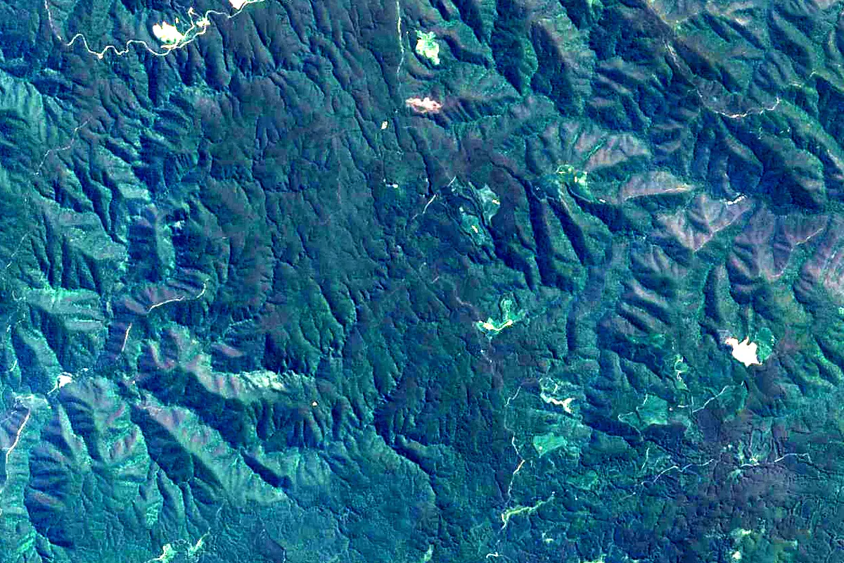
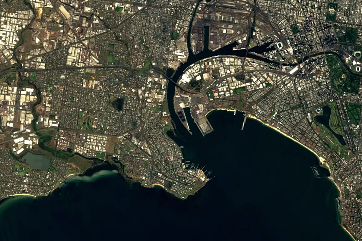
Sentinel-2 cloudless 2016 by EOX IT Services GmbH (contains modified Copernicus Sentinel data 2016), CC BY 4.0. The glowing line is the river as drawn by RiverATLAS.
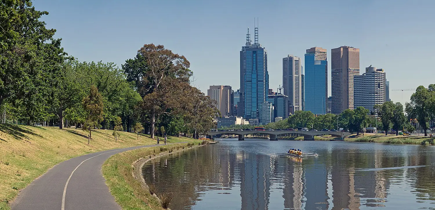
Photos
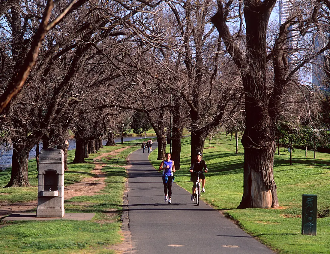
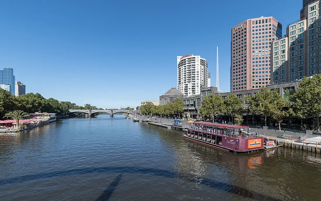
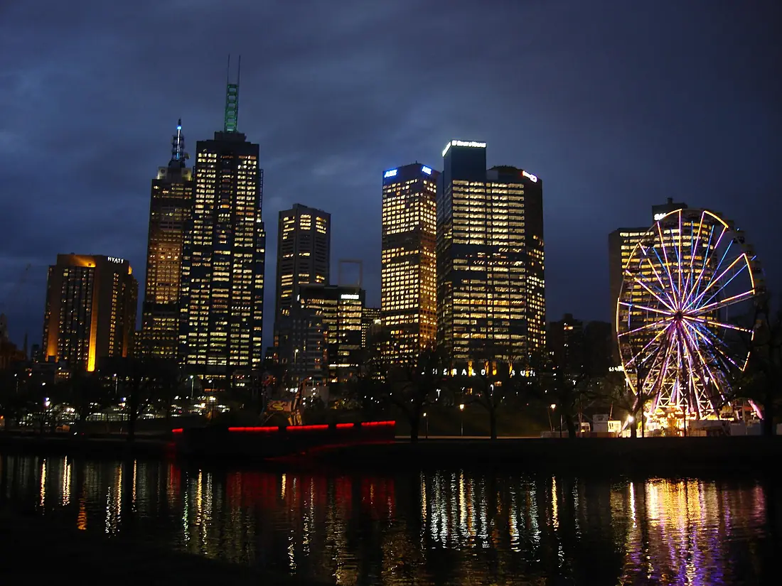
Yarra River in pictures
Tributaries
Where it flows, and what flows into it
Tributaries (15)
Also: Maribyrnong River, Koonung Creek, Plenty River, Darebin Creek, Gardiners Creek, Merri Creek, Andersons Creek, Moonee Ponds Creek, Olinda Creek, Watts River, Woori Yallock Creek, O'Shannassy River, Mullum Mullum Creek, Little Yarra River, Stony Creek
Where these numbers come from
| Name, length, places | Wikidata (Q695081) · CC0 |
|---|---|
| Course, profile, basin | RiverATLAS v1.0 (HydroATLAS, Linke et al. 2019) · CC BY 4.0 — followed from the source to the mouth given by Wikidata |
| Flow | WaterGAP (RiverATLAS), 1971–2000 · CC BY 4.0 |
| Climate along the river | WorldClim (RiverATLAS), 1970–2000 · CC BY 4.0 |
| Towns, bridges, dams | Wikidata · CC0; GeoNames · CC BY 4.0 |
| Along the river | © OpenStreetMap contributors · ODbL |
| Images | EOX Sentinel-2 cloudless 2016 · CC BY 4.0; Wikimedia Commons |
| Our other atlases | Cascadyas, Lakeyas, Coastya, Peakyas — Wikidata · CC0; © OpenStreetMap contributors · ODbL; GeoNames · CC BY 4.0; HydroLAKES · CC BY 4.0; NOAA OISST |
Every source and licence is on the data sources page.
The family
Do you prefer beaches, lakes, mountains, waterfalls, islands, rivers or canyons?
Same idea, other landscapes: field atlases built on open data, month by month, in seven languages.
beaches Find your beach: sea temperature, sun and swimming month by month.Visit lakes
 Every lake on Earth: water temperature, ice, depth and the shore.Coming soonVisit mountains
 Every summit in 3D: summit weather, the 0 °C line, huts and trails.Visit waterfalls
 Every waterfall: height, flow month by month and when it roars.Coming soonVisit
  islands
 Every island from the sea up: size, sea temperature, ferries and 3D.Coming soonVisit
  rivers
 Every river from source to sea: the journey, the flow and the basin in numbers.You are here
 canyons
 Every canyon cut to scale: depth to the floor, rim and floor temperatures, trails and viewpoints.Coming soonVisit