River
Zayandeh River
400 km from source to mouth · Iran.
 IranFlows into Gavkhuni Lake6th longest in Iran
In numbers
Length
400km
Average flow
38m³/s
Basin
41,500km²
Drop
892m
from 2,343 m to 1,451 m
Country
1
The journey
From source to mouth
400 km of river and 48 stops on the way: 28 towns and cities on its banks, dams, bridges and the tributaries that feed it.
- 0 kmZagros Mountainsat 2,343 m
- 7 kmDāmaneh4,766 people
- 15 kmDārān20,078 people
- 82 kmZayanderud Dam
- 83 kmDaryācheh-ye Sadd-e Zāyandeh Rūd96 km²
- 123 kmZaman Khan Bridge
- 162 kmBāgh-e Bahādorān10,279 people
- 167 kmKaleh Bridge
- 176 kmSedeh Lanjān19,101 people
- 176 kmSedeh Lenjan19,101 people
- 179 kmChamgordān15,574 people
- 182 kmZarrin Shahr55,817 people
- 182 kmZarrīn Shahr55,817 people
- 184 kmVarnāmkhvāst18,700 people
- 190 kmKarkevand7,058 people
- 196 kmMobārakeh69,449 people
- 199 kmDīzīcheh18,935 people
- 203 kmZibashahr10,200 people
- 211 kmŢād3,740 people
- 211 kmBaba Mahmud Bridge
- 213 kmPīr Bakrān13,469 people
- 217 kmBahārān Shahr11,284 people
- 219 kmZafreh4,000 people
- 223 kmShorūdān3,114 people
- 224 kmKelīshād va Sūdarjān25,635 people
- 224 kmFalāvarjān49,843 people
- 225 kmJūjīl6,327 people
- 235 kmDorcheh Pīāz37,462 people
- 245 kmVahid Bridge
- 246 kmMarnan Bridge
- 247 kmFelezi Bridge (Isfahan)
- 247 kmAzar Bridge (Isfahan)
- 248 kmSi-o-se Pol
- 249 kmIsfahan1,961,260 people
- 249 kmFerdowsi Bridge (Isfahan)
- 249 kmJubi Bridge
- 250 kmKhaju Bridge
- 251 kmIsfahan Artists House
- 251 kmBozorgmehr Bridge
- 252 kmGhadir Bridge (Isfahan)
- 253 kmTepe Ashraf (Isfahan)
- 254 kmShahrestan Bridge
- 262 kmEşfahānak4,414 people
- 284 kmZiyar3,918 people
- 354 kmBalan337 people
- 354 kmQurtan Castle
- 354 kmQurtan1,283 people
- 364 kmVarzaneh12,714 people
- 364 kmVarzaneh Bridge (Zayandeh River)
- 400 kmGavkhuni Lakeat 1,451 m
Water level along the river (RiverATLAS; the height is exaggerated). Towns: GeoNames and Wikidata; bridges, dams and tributaries: Wikidata.
River in Iran
At the mouth it carries 38 m³/s on average: an Olympic pool every 66 seconds. It drops from 2,343 m to 1,451 m, 2.2 m per kilometre on average. Its basin covers 41,500 km², about the size of NL. 2.8 million people live in it. Highest water: from January to March; lowest: from July to October. It is heavily dammed: reservoirs can hold 80% of a year's flow.
Where to start
- IsfahanLargest city on its banks · 1,961,260 people
- Isfahan Shahid Beheshti International Airport (IFN)Nearest airport with scheduled flights, 23 km from the city
- On the water2 ferry piers, marinas, boat rentals and boat ramps along the river (OpenStreetMap)
- From April to June and from September to OctoberThe best months to visit
Zayandeh River, month by month
Highest water: from January to March
Lowest water: from July to October. Best months to visit: from April to June and from September to October.
From about 0.0 m³/s in the lowest month to 300 m³/s in the highest. An estimate: the monthly flow is modelled from the lowest and highest months of WaterGAP (RiverATLAS, 1971–2000) and the rain and snow along the river (WorldClim). Dams change the real rhythm. The chip is the average air temperature; below it, the month's rain.
Plan the trip
Plan the trip: boat trips, a bed by the river, a car
Some links above are affiliate links: if you book through them we may earn a commission, at no extra cost to you. It never changes what the data on this page says.
The basin
Zayandeh River: the basin in numbers
29,169 km² of land send their water to this river. This is what lives on it.
- 2.8millionpeople live in the basin
- 97/km²people per km²
- 2,026maverage altitude of the basin
- 162mmof rain a year (basin average)
- 13.0°Caverage air temperature
- 4%protected areas
- 0.3%covered by lakes
- 1.4km³held in reservoirs
What covers the basin
- 8% Cropland
- 49% Pasture
- 5% Towns and cities
RiverATLAS (HydroATLAS v1.0, CC BY 4.0): land cover, people, protected areas, glaciers and dams over the whole basin upstream of the mouth.
Along the river
Zayandeh River: what you find on the way
- 6Weirs
- 3Waterfalls
- 1Ferry piers
- 1Marinas
- 1River beaches
From OpenStreetMap, within 2.1 km of the river. Not mapped is not the same as not there.
Cross-checked with our atlases
Zayandeh River in our other atlases
What our sister atlases know about the waterfalls on this river, the lakes it flows through, the beaches at its mouth, the mountains where it rises and the islands off its mouth.
 1lake on its wayLakeyas
 26mountains at the sourcePeakyas
Lakes and reservoirs (1)
Lakes it flows through, by Lakeyas
- Daryācheh-ye Sadd-e Zāyandeh Rūdkm 8196km²
Lakeyas is coming soonOpen Lakeyas ↗
Mountains at the source (26)
Within 15 km of the source, by Peakyas
- Shāhkūh9.6 km away
- Kūh-e Nīleh3.7 km away
- Kūh-e Dārābshāh8.2 km away
- Dālān Kūh8.5 km away
- Kūh-e Dāmaneh5.3 km away
- Mīn Kūh12 km away
- Kūh-e Bī Ābeh13 km away
- Tappeh-ye S̄abātīyeh11 km away
18 more on PeakyasOpen Peakyas ↗
From space
The source and the mouth, seen from orbit
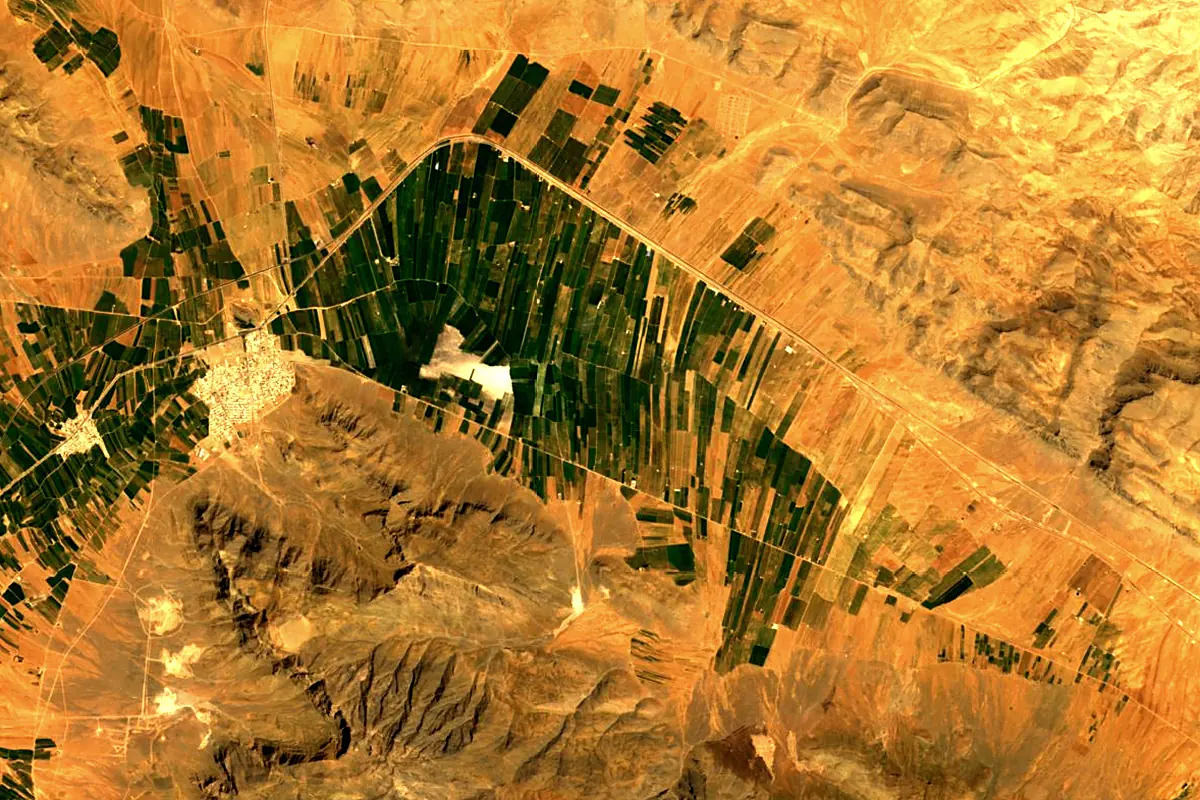
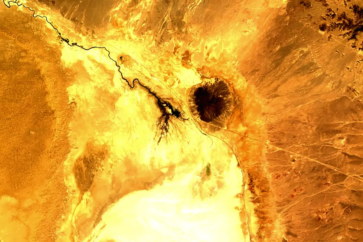
Sentinel-2 cloudless 2016 by EOX IT Services GmbH (contains modified Copernicus Sentinel data 2016), CC BY 4.0. The glowing line is the river as drawn by RiverATLAS.
Photos
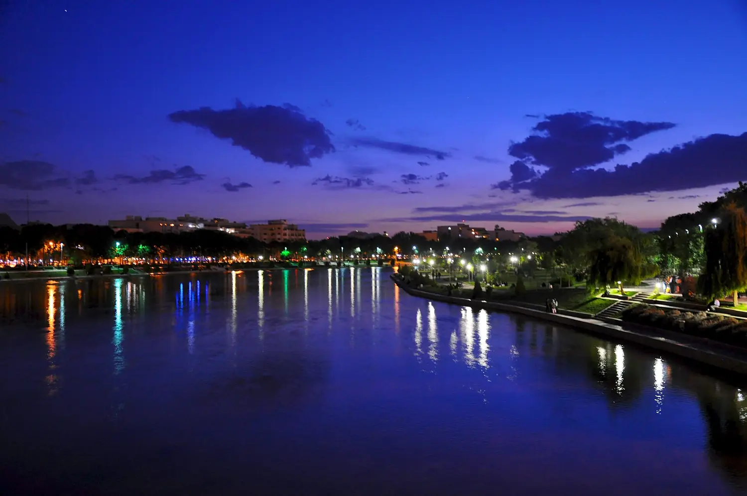
Zayandeh River in pictures
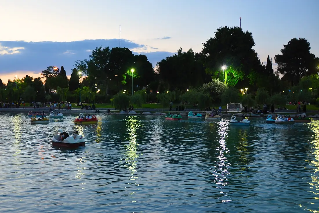
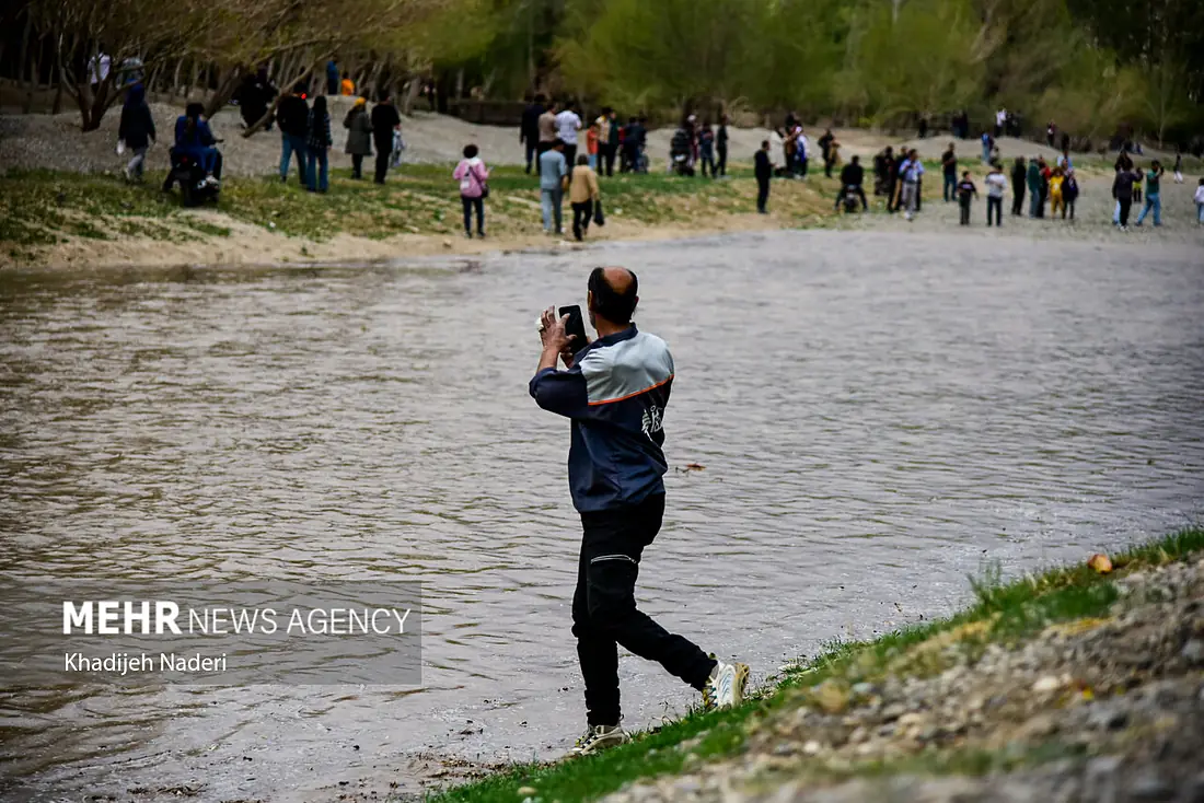
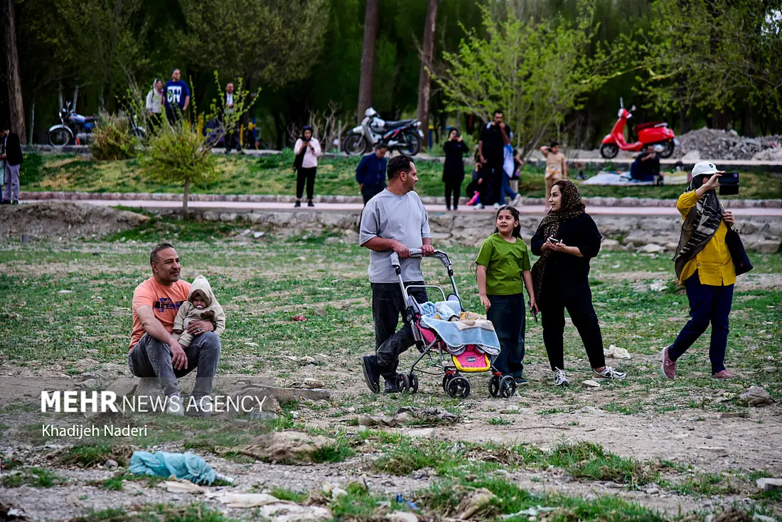
 Iraq
IraqWhere these numbers come from
| Name, length, places | Wikidata (Q167814) · CC0 |
|---|---|
| Course, profile, basin | RiverATLAS v1.0 (HydroATLAS, Linke et al. 2019) · CC BY 4.0 — followed along the river network from the point given by Wikidata |
| Flow | WaterGAP (RiverATLAS), 1971–2000 · CC BY 4.0 |
| Climate along the river | WorldClim (RiverATLAS), 1970–2000 · CC BY 4.0 |
| Towns, bridges, dams | Wikidata · CC0; GeoNames · CC BY 4.0 |
| Along the river | © OpenStreetMap contributors · ODbL |
| Images | EOX Sentinel-2 cloudless 2016 · CC BY 4.0; Wikimedia Commons |
| Our other atlases | Lakeyas, Peakyas — Wikidata · CC0; © OpenStreetMap contributors · ODbL; GeoNames · CC BY 4.0; HydroLAKES · CC BY 4.0; NOAA OISST |
Every source and licence is on the data sources page.
The family
Do you prefer beaches, lakes, mountains, waterfalls, islands, rivers or canyons?
Same idea, other landscapes: field atlases built on open data, month by month, in seven languages.
 beaches
 Find your beach: sea temperature, sun and swimming month by month.Visit lakes
 Every lake on Earth: water temperature, ice, depth and the shore.Coming soonVisit mountains
 Every summit in 3D: summit weather, the 0 °C line, huts and trails.Visit
  waterfalls
 Every waterfall: height, flow month by month and when it roars.Coming soonVisit
  islands
 Every island from the sea up: size, sea temperature, ferries and 3D.Coming soonVisit
  rivers
 Every river from source to sea: the journey, the flow and the basin in numbers.You are here
 canyons
 Every canyon cut to scale: depth to the floor, rim and floor temperatures, trails and viewpoints.Coming soonVisit