River
Aveyron
291 km from source to mouth · France.
 FranceFlows into Tarn
In numbers
Length
291km
Average flow
56m³/s
Basin
15,100km²
Drop
545m
from 620 m to 75 m
Country
1
The journey
From source to mouth
291 km of river and 68 stops on the way: 59 towns and cities on its banks, dams, bridges and the tributaries that feed it.
- 0 kmCausse de Sévéracat 620 m
- 0 kmSévérac-d'Aveyron4,026 people
- 15 kmGaillac-d'Aveyron322 people
- 30 kmLaissac-Sévérac l'Église2,141 people
- 36 kmBertholène1,043 people
- 44 kmMontrozier1,717 people
- 53 kmAgen-d'Aveyron1,116 people
- 58 kmLa Loubière1,573 people
- 62 kmSainte-Radegonde1,793 people
- 63 kmOnet-le-Château12,080 people
- 65 kmRodez23,981 people
- 66 kmLe Monastère2,295 people
- 68 kmOlemps3,559 people
- 78 kmDruelle Balsac3,187 people
- 80 kmBaraqueville3,173 people
- 86 kmMoyrazès1,095 people
- 91 kmClairvaux-d'Aveyron1,158 people
- 98 kmColombiès884 people
- 100 kmMayran611 people
- 102 kmBelcastel189 people
- 107 kmRignac2,000 people
- 115 kmPrévinquières269 people
- 119 kmCompolibat335 people
- 127 kmLe Bas Ségala1,608 people
- 129 kmMaleville967 people
- 129 kmBrandonnet287 people
- 139 kmMorlhon-le-Haut555 people
- 140 kmAlzoutributary
- 141 kmVillefranche-de-Rouergue11,271 people
- 151 kmSanvensa643 people
- 153 kmLa Rouquette777 people
- 155 kmMonteils461 people
- 159 kmLa Fouillade1,128 people
- 163 kmNajac771 people
- 170 kmSaint-André-de-Najac456 people
- 178 kmLaguépie644 people
- 178 kmSaint-Martin-Laguépie400 people
- 178 kmViaurtributary
- 187 kmVaren640 people
- 189 kmLe Riols98 people
- 196 kmMilhars226 people
- 197 kmCéroutributary
- 198 kmSeyetributary
- 201 kmMontrosier33 people
- 203 kmFéneyrols176 people
- 212 kmBonnettetributary
- 212 kmSaint-Antonin-Noble-Val1,949 people
- 220 kmCazals236 people
- 228 kmPenne602 people
- 236 kmVèretributary
- 236 kmBruniquel641 people
- 242 kmMontricoux1,172 people
- 252 kmBioule1,201 people
- 254 kmNègrepelisse5,917 people
- 258 kmBayetributary
- 258 kmCayrac570 people
- 259 kmRéalville1,869 people
- 263 kmAlbias3,240 people
- 265 kmRuisseau de la Brivetributary
- 265 kmLèretributary
- 266 kmMirabel1,045 people
- 275 kmLamothe-Capdeville1,068 people
- 276 kmMontauban62,945 people
- 282 kmPiquecos450 people
- 282 kmL'Honor-de-Cos1,610 people
- 284 kmMontastruc303 people
- 285 kmVillemade834 people
- 287 kmLafrançaise2,865 people
- 288 kmBarry-d'Islemade940 people
- 291 kmTarnat 75 m
Water level along the river (RiverATLAS; the height is exaggerated). Towns: GeoNames and Wikidata; bridges, dams and tributaries: Wikidata.
River in France, tributary of the Tarn
At the mouth it carries 56 m³/s on average: an Olympic pool every 44 seconds. It drops from 620 m to 75 m, 1.9 m per kilometre on average. Its basin covers 15,100 km², about the size of TL. 226,000 people live in it. Highest water: from December to February. Dams and reservoirs hold back a large share of its water (11% of a year's flow).
Where to start
- MontaubanLargest city on its banks · 62,945 people
- Toulouse-Blagnac Airport (TLS)Nearest airport with scheduled flights, 43 km from the cityCar hire at TLS airport (Toulouse/Blagnac)Discover Cars · Affiliate link↗
- On the water16 ferry piers, marinas, boat rentals and boat ramps along the river (OpenStreetMap)
- From May to SeptemberThe best months to visit
Aveyron, month by month
Highest water: from December to February
Best months to visit: from May to September.
From about 16 m³/s in the lowest month to 98 m³/s in the highest. An estimate: the monthly flow is modelled from the lowest and highest months of WaterGAP (RiverATLAS, 1971–2000) and the rain and snow along the river (WorldClim). Dams change the real rhythm. The chip is the average air temperature; below it, the month's rain.
Plan the trip
Plan the trip: boat trips, a bed by the river, a car
Some links above are affiliate links: if you book through them we may earn a commission, at no extra cost to you. It never changes what the data on this page says.
The basin
Aveyron: the basin in numbers
5,176 km² of land send their water to this river. This is what lives on it.
- 226,000people live in the basin
- 44/km²people per km²
- 470maverage altitude of the basin
- 782mmof rain a year (basin average)
- 11.6°Caverage air temperature
- 10%protected areas
- 0.3%covered by lakes
- 0.2km³held in reservoirs
What covers the basin
- 16% Forest
- 19% Cropland
- 23% Pasture
- 2% Towns and cities
RiverATLAS (HydroATLAS v1.0, CC BY 4.0): land cover, people, protected areas, glaciers and dams over the whole basin upstream of the mouth.
Along the river
Aveyron: what you find on the way
- 89WeirsChaussée des Attizals, Gué de Petit, Barrage de la Frégère and 86 more
- 3WaterfallsCascade Pétrifiante de Bonnan
- 8Boat rampsPasse À Canoë de Cantagrel and 7 more
- 2River beachesPlage Lac de la Cisba
From OpenStreetMap, within 1.6 km of the river. Not mapped is not the same as not there.
Cross-checked with our atlases
Aveyron in our other atlases
What our sister atlases know about the waterfalls on this river, the lakes it flows through, the beaches at its mouth, the mountains where it rises and the islands off its mouth.
 1mountain at the sourcePeakyas
Mountains at the source (1)
Within 15 km of the source, by Peakyas
- Mont Seigné11 km away
From space
The source and the mouth, seen from orbit
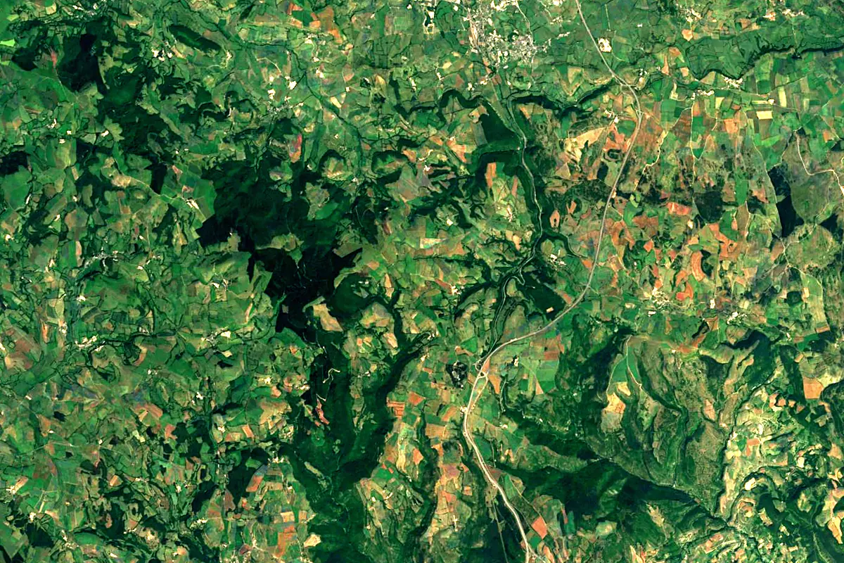
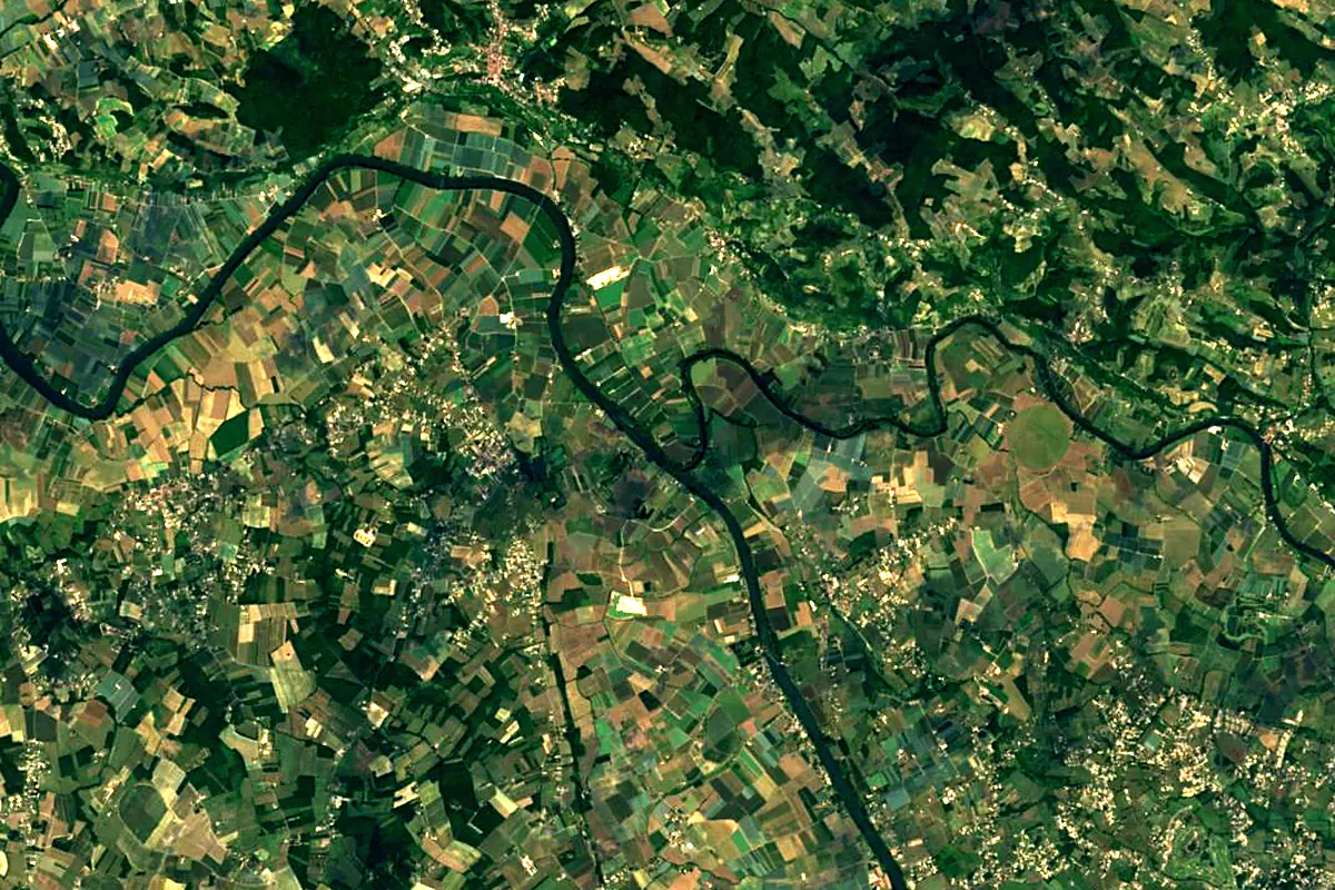
Sentinel-2 cloudless 2016 by EOX IT Services GmbH (contains modified Copernicus Sentinel data 2016), CC BY 4.0. The glowing line is the river as drawn by RiverATLAS.
Photos
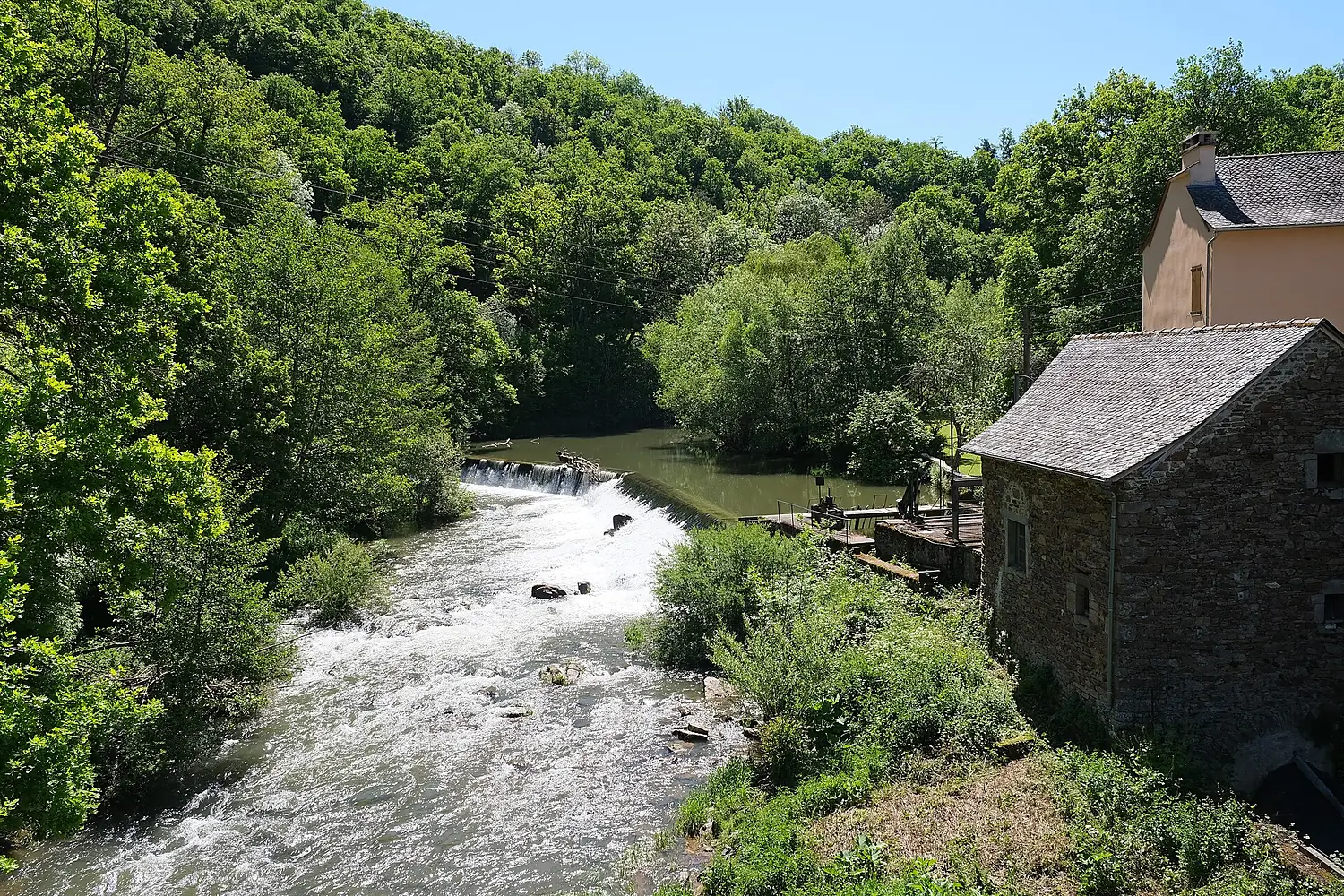
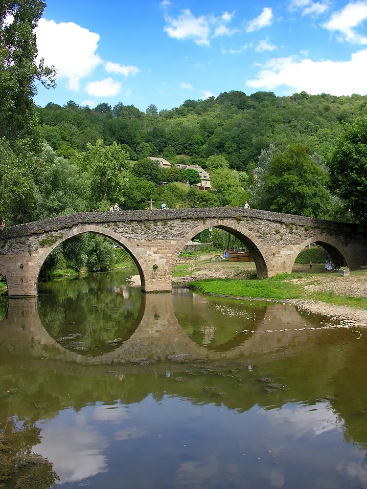
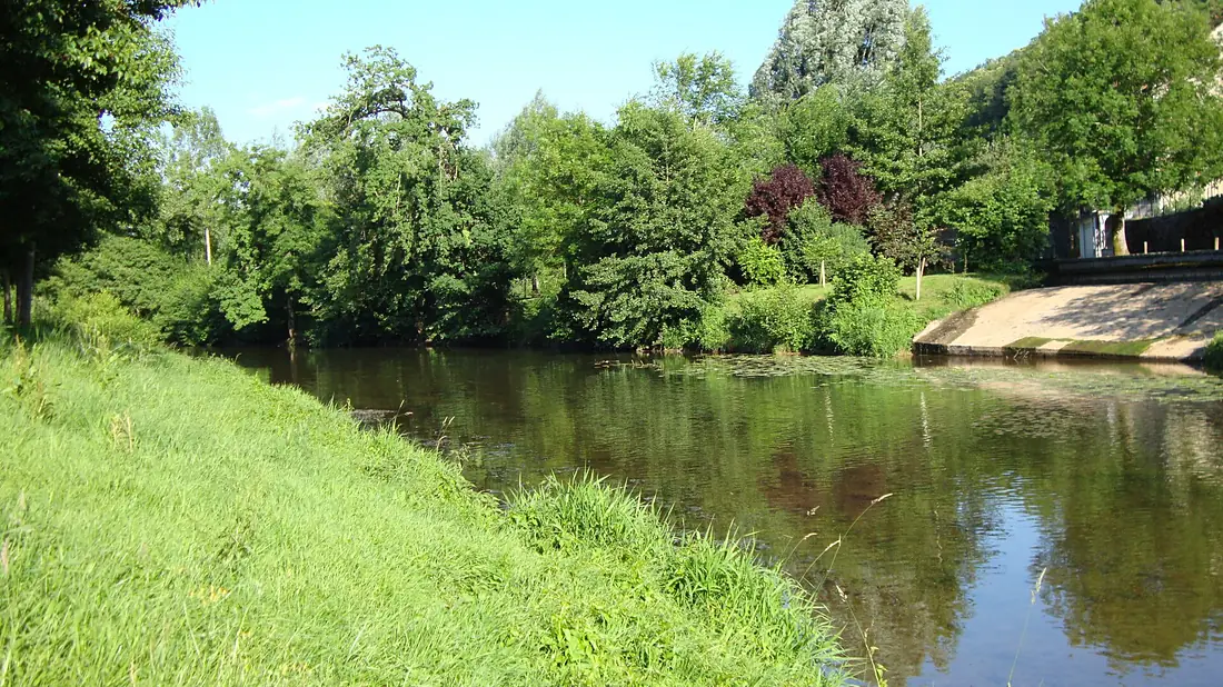
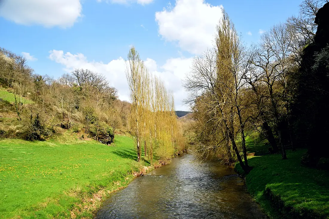
Aveyron in pictures
Tributaries
Where it flows, and what flows into it
It flows into
TarnFrance380 km140 m³/sTributaries (14)
Also: Viaur, Cérou, Alzou, Vère, Bonnette, Lère, Baye, Grand Mortarieu, Tauge, Seye, Olip, Serène, Ruisseau de la Brive, Serre
Nearby
Rivers nearby
Where these numbers come from
| Name, length, places | Wikidata (Q751887) · CC0 |
|---|---|
| Course, profile, basin | RiverATLAS v1.0 (HydroATLAS, Linke et al. 2019) · CC BY 4.0 — followed from the source to the mouth given by Wikidata |
| Flow | WaterGAP (RiverATLAS), 1971–2000 · CC BY 4.0 |
| Climate along the river | WorldClim (RiverATLAS), 1970–2000 · CC BY 4.0 |
| Towns, bridges, dams | Wikidata · CC0; GeoNames · CC BY 4.0 |
| Along the river | © OpenStreetMap contributors · ODbL |
| Images | EOX Sentinel-2 cloudless 2016 · CC BY 4.0; Wikimedia Commons |
| Our other atlases | Peakyas — Wikidata · CC0; © OpenStreetMap contributors · ODbL; GeoNames · CC BY 4.0; HydroLAKES · CC BY 4.0; NOAA OISST |
Every source and licence is on the data sources page.
The family
Do you prefer beaches, lakes, mountains, waterfalls, islands, rivers or canyons?
Same idea, other landscapes: field atlases built on open data, month by month, in seven languages.
 beaches
 Find your beach: sea temperature, sun and swimming month by month.Visit
  lakes
lakes Every lake on Earth: water temperature, ice, depth and the shore.Coming soonVisit mountains
 Every summit in 3D: summit weather, the 0 °C line, huts and trails.Visit
  waterfalls
 Every waterfall: height, flow month by month and when it roars.Coming soonVisit
  islands
 Every island from the sea up: size, sea temperature, ferries and 3D.Coming soonVisit
  rivers
 Every river from source to sea: the journey, the flow and the basin in numbers.You are here
 canyons
 Every canyon cut to scale: depth to the floor, rim and floor temperatures, trails and viewpoints.Coming soonVisit