River
Dordogne
483 km from source to mouth · France.
 FranceFlows into Gironde estuary7th longest in France
In numbers
Length
483km
Average flow
450m³/s
Basin
23,957km²
Drop
630m
from 630 m to 0 m
Country
1
The journey
From source to mouth
483 km of river and 68 stops on the way: 47 towns and cities on its banks, dams, bridges and the tributaries that feed it.
- 0 kmPuy de Sancyat 630 m
- 0 kmLa Bourboule1,727 people
- 0 kmMont-Dore1,163 people
- 21 kmMortagnetributary
- 35 kmLanobre1,351 people
- 37 kmLystributary
- 39 kmLac de Bort-les-Orgues8.0 km²
- 41 kmBort-les-Orgues2,483 people
- 51 kmRhuetributary
- 54 kmDiègetributary
- 56 kmRuisseau de l'Artaudetributary
- 57 kmNeuvic1,567 people
- 73 kmTriouzounetributary
- 89 kmPleaux1,470 people
- 94 kmLuzègetributary
- 123 kmDoustretributary
- 151 kmBeaulieu-sur-Dordogne1,310 people
- 151 kmAltillac824 people
- 162 kmCèretributary
- 163 kmMamoultributary
- 163 kmBavetributary
- 197 kmOuyssetributary
- 210 kmSouillac3,192 people
- 241 kmÉnéatributary
- 243 kmDomme906 people
- 246 kmLa Roque-Gageac448 people
- 249 kmCéoutributary
- 249 kmCastelnaud-la-Chapelle451 people
- 251 kmBeynac-et-Cazenac397 people
- 262 kmSaint-Cyprien1,580 people
- 272 kmNauzetributary
- 276 kmLe Buisson-de-Cadouin1,965 people
- 281 kmVézèretributary
- 304 kmLalinde2,931 people
- 324 kmCours-de-Pile1,585 people
- 329 kmBergerac27,110 people
- 331 kmConnetributary
- 338 kmPrigonrieux4,374 people
- 340 kmLamonzie-Saint-Martin2,742 people
- 341 kmLa Force2,702 people
- 347 kmSaint-Pierre-d'Eyraud1,795 people
- 356 kmSaint-Avit-Saint-Nazaire1,503 people
- 358 kmPineuilh4,490 people
- 358 kmSainte-Foy-la-Grande2,507 people
- 359 kmPort-Sainte-Foy-et-Ponchapt2,520 people
- 366 kmSaint-Antoine-de-Breuilh1,784 people
- 388 kmCastillon-la-Bataille3,344 people
- 388 kmSaint-Magne-de-Castillon2,165 people
- 395 kmSainte-Terre1,883 people
- 406 kmBranne1,296 people
- 414 kmSaint-Sulpice-de-Faleyrens1,344 people
- 414 kmSaint-Émilion1,608 people
- 421 kmGénissac2,041 people
- 427 kmLibourne25,036 people
- 427 kmIsletributary
- 428 kmGestastributary
- 429 kmFronsac1,130 people
- 434 kmArveyres2,056 people
- 437 kmVayres4,615 people
- 445 kmIzon6,374 people
- 448 kmLaurencetributary
- 450 kmAsques440 people
- 452 kmSaint-Loubès10,027 people
- 457 kmCubzac-les-Ponts2,693 people
- 461 kmSaint-André-de-Cubzac12,626 people
- 462 kmSaint-Gervais1,983 people
- 467 kmAmbès3,313 people
- 468 kmBourg2,244 people
- 468 kmBayon-sur-Gironde734 people
- 483 kmGironde estuaryat 0 m
Water level along the river (RiverATLAS; the height is exaggerated). Towns: GeoNames and Wikidata; bridges, dams and tributaries: Wikidata.
River in Southwestern France
At the mouth it carries 450 m³/s on average: an Olympic pool every 5.6 seconds. It drops from 630 m to 0 m, 1.3 m per kilometre on average. Its basin covers 23,957 km², about the size of DJ. 1.1 million people live in it. Highest water: from December to February. Its dams hold back little of its water (8.7% of a year's flow).
Where to start
- BergeracLargest city on its banks · 27,110 people
- Bergerac Dordogne-Périgord airport (EGC)Nearest airport with scheduled flights, 4 km from the cityCar hire at EGC airport (Bergerac)Discover Cars · Affiliate link↗
- On the water97 ferry piers, marinas, boat rentals and boat ramps along the river (OpenStreetMap)
- From May to SeptemberThe best months to visit
Dordogne, month by month
Highest water: from December to February
Best months to visit: from May to September.
From about 140 m³/s in the lowest month to 780 m³/s in the highest. An estimate: the monthly flow is modelled from the lowest and highest months of WaterGAP (RiverATLAS, 1971–2000) and the rain and snow along the river (WorldClim). Dams change the real rhythm. The chip is the average air temperature; below it, the month's rain.
Plan the trip
Plan the trip: boat trips, a bed by the river, a car
Some links above are affiliate links: if you book through them we may earn a commission, at no extra cost to you. It never changes what the data on this page says.
The basin
Dordogne: the basin in numbers
23,783 km² of land send their water to this river. This is what lives on it.
- 1.1millionpeople live in the basin
- 47/km²people per km²
- 358maverage altitude of the basin
- 887mmof rain a year (basin average)
- 11.1°Caverage air temperature
- 21%protected areas
- 0.2%covered by lakes
- 1.3km³held in reservoirs
What covers the basin
- 43% Forest
- 13% Cropland
- 23% Pasture
- 1% Towns and cities
RiverATLAS (HydroATLAS v1.0, CC BY 4.0): land cover, people, protected areas, glaciers and dams over the whole basin upstream of the mouth.
Along the river
Dordogne: what you find on the way
- 19WeirsBarrage de Saint-Sauves and 18 more
- 23LocksCanal de Lalinde, Écluse de la Borie-Basse and 21 more
- 8WaterfallsSaut de la Saule, Saut de Juillac, Cascade du Saut Sali and 5 more
- 74Boat rampsPlan d'eau de Vayrac, Port Muzard, Cale de l'Alba and 71 more
- 3MarinasPort de Izon
- 15River beachesPlage d'Outre-Val, Plage de Val, Plage de la Siauve and 12 more
From OpenStreetMap, within 2.0 km of the river. Not mapped is not the same as not there.
Cross-checked with our atlases
Dordogne in our other atlases
What our sister atlases know about the waterfalls on this river, the lakes it flows through, the beaches at its mouth, the mountains where it rises and the islands off its mouth.
 1lake on its wayLakeyas
 52mountains at the sourcePeakyas
 2islands off the mouthIslandyas
Lakes and reservoirs (1)
Lakes it flows through, by Lakeyas
- Lac de Bort-les-Orgueskm 35 · 110 m deep8.0km²
Lakeyas is coming soonOpen Lakeyas ↗
Mountains at the source (52)
Within 15 km of the source, by Peakyas
- Puy de Sancy1.2 km away · prominence 1,578 m1,885m
- Puy Ferrand1.6 km away1,854m
- Puy de Cacadogne0.8 km away1,784m
- Puy de la Perdrix1.2 km away1,824m
- Puy Gros2.1 km away1,793m
- Puy de l'Angle4.2 km away1,740m
- Roc de Cuzeau1.5 km away1,737m
- Pan de la Grange1.0 km away1,768m
44 more on PeakyasOpen Peakyas ↗
Islands off the mouth (2)
Within 30 km of the mouth, by Islandyas
- île Paté15 km away
- Île de Patiras23 km away
Islandyas is coming soonOpen Islandyas ↗
From space
The source and the mouth, seen from orbit
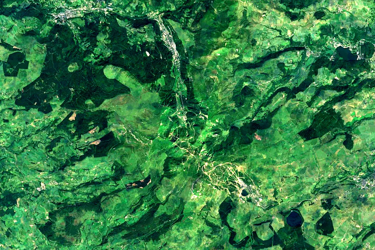
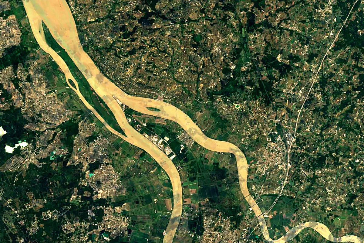
Sentinel-2 cloudless 2016 by EOX IT Services GmbH (contains modified Copernicus Sentinel data 2016), CC BY 4.0. The glowing line is the river as drawn by RiverATLAS.
Photos
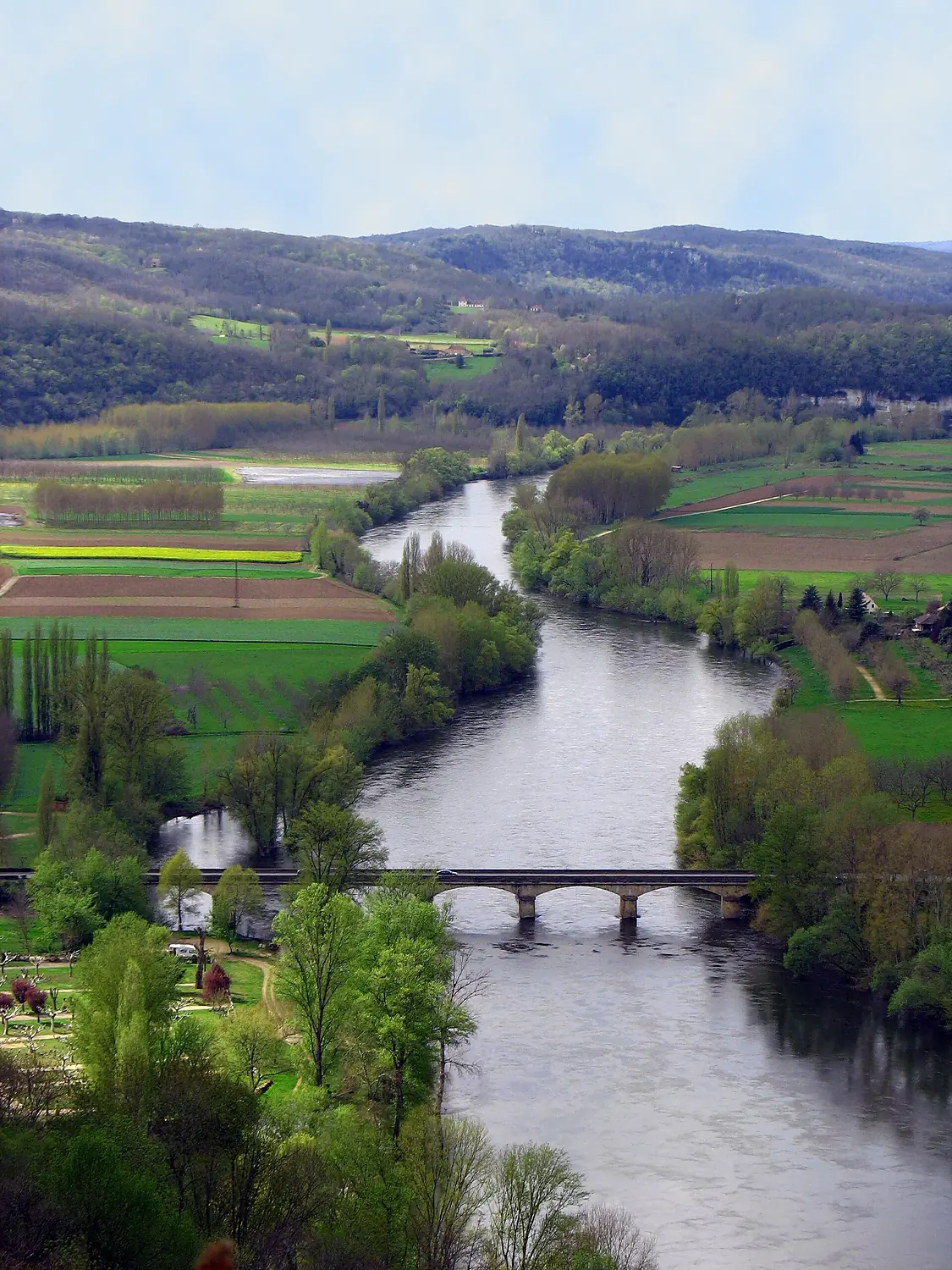
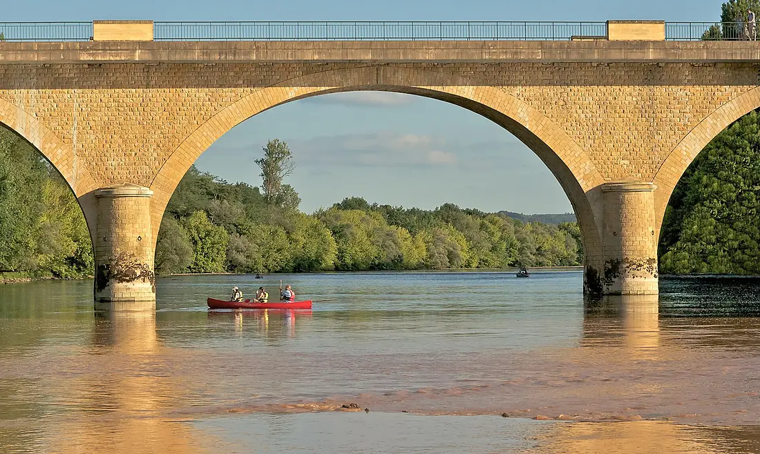
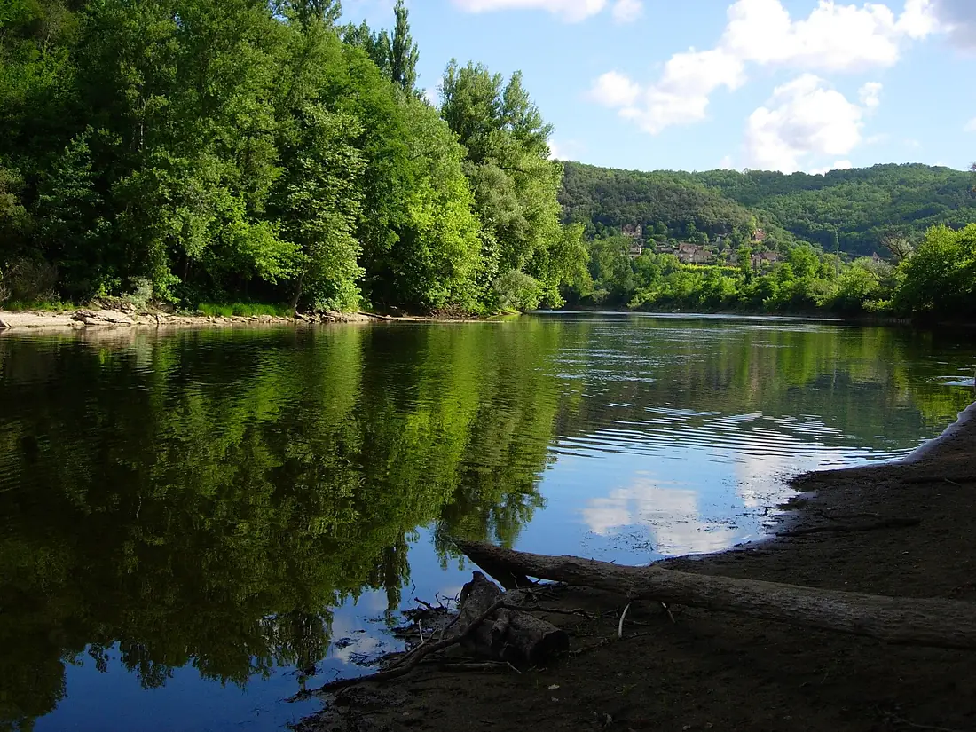
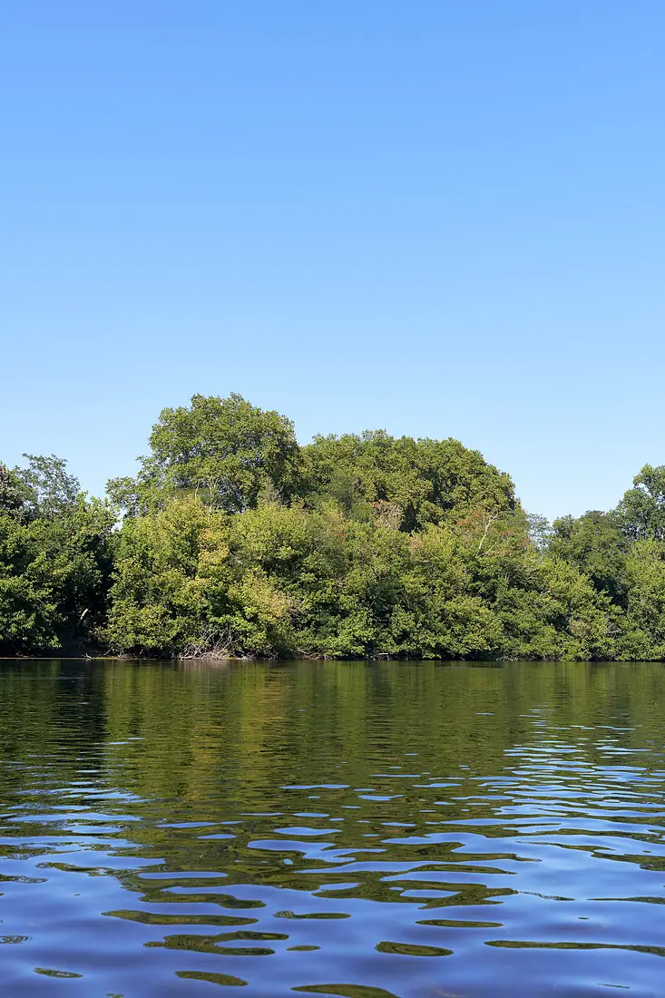
Dordogne in pictures
Tributaries
Where it flows, and what flows into it
Tributaries (50)
Also: Cère, Maronne, Rhue, Luzège, Chavanon, Diège, Céou, Doustre, Triouzoune, Ouysse, Auze, Sumène, Couze, Lidoire, Tourmente, Bave, Caudeau, Virvée, Gestas, Souvigne, Sourdoire, Estrop, Eyraud, Gardonnette
In the same basin
Nearby
Rivers nearby
Where these numbers come from
| Name, length, places | Wikidata (Q208174) · CC0 |
|---|---|
| Course, profile, basin | RiverATLAS v1.0 (HydroATLAS, Linke et al. 2019) · CC BY 4.0 — followed from the source to the mouth given by Wikidata |
| Flow | WaterGAP (RiverATLAS), 1971–2000 · CC BY 4.0 |
| Climate along the river | WorldClim (RiverATLAS), 1970–2000 · CC BY 4.0 |
| Towns, bridges, dams | Wikidata · CC0; GeoNames · CC BY 4.0 |
| Along the river | © OpenStreetMap contributors · ODbL |
| Images | EOX Sentinel-2 cloudless 2016 · CC BY 4.0; Wikimedia Commons |
| Our other atlases | Lakeyas, Peakyas, Islandyas — Wikidata · CC0; © OpenStreetMap contributors · ODbL; GeoNames · CC BY 4.0; HydroLAKES · CC BY 4.0; NOAA OISST |
Every source and licence is on the data sources page.
The family
Do you prefer beaches, lakes, mountains, waterfalls, islands, rivers or canyons?
Same idea, other landscapes: field atlases built on open data, month by month, in seven languages.
 beaches
 Find your beach: sea temperature, sun and swimming month by month.Visit lakes
 Every lake on Earth: water temperature, ice, depth and the shore.Coming soonVisit mountains
 Every summit in 3D: summit weather, the 0 °C line, huts and trails.Visit
  waterfalls
 Every waterfall: height, flow month by month and when it roars.Coming soonVisit islands
 Every island from the sea up: size, sea temperature, ferries and 3D.Coming soonVisit
  rivers
 Every river from source to sea: the journey, the flow and the basin in numbers.You are here
 canyons
 Every canyon cut to scale: depth to the floor, rim and floor temperatures, trails and viewpoints.Coming soonVisit