River
Brda
217 km from source to mouth · Poland.
 PolandFlows into Vistula
In numbers
Length
217km
Average flow
24m³/s
Basin
4,700km²
Drop
110m
from 135 m to 25 m
Country
1
The journey
From source to mouth
217 km of river and 33 stops on the way: 4 towns and cities on its banks, dams, bridges and the tributaries that feed it.
- 0 kmSourceat 135 m
- 0 kmGwiazda Lake1.9 km²
- 29 kmJezioro Duże Głuche0.3 km²
- 34 kmJezioro Charzykowskie13 km²
- 38 kmJezioro Karsińskie6.4 km²
- 42 kmZbrzycatributary
- 42 kmWitoczno0.9 km²
- 44 kmPłęsno0.8 km²
- 49 kmŁąckie Lake1.1 km²
- 57 kmDybrzyk2.7 km²
- 60 kmTrzemeszno1.7 km²
- 91 kmStobno0.9 km²
- 113 kmTuchola13,686 people
- 126 kmSzpitalne Jezioro0.7 km²
- 136 kmKrówkatributary
- 155 kmKoronowskie Lake8.8 km²
- 160 kmKoronowo10,965 people
- 178 kmJanowo bridge
- 184 kmSmukała bridge
- 193 kmHypszera bridge in Bydgoszcz
- 196 kmMost Królowej Jadwigi w Bydgoszczy
- 196 kmWładysław Jagiełło bridge in Bydgoszcz
- 197 kmMill Island in Bydgoszcz
- 197 kmMost Staromiejski w Bydgoszczy
- 197 kmBydgoszcz324,984 people
- 197 kmMost Bernardyński w Bydgoszczy
- 198 kmUniversity Bridge in Bydgoszcz
- 199 kmEsperanto Bridge
- 200 kmMost Pomorski w Bydgoszczy
- 202 kmKazimierz Wielki bridge
- 205 kmMost Żeglugi Bydgoskiej
- 207 kmMost magistrali węglowej w Bydgoszczy
- 208 kmMost portowy w Bydgoszczy
- 216 kmFordon70,000 people
- 217 kmVistulaat 25 m
Water level along the river (RiverATLAS; the height is exaggerated). Towns: GeoNames and Wikidata; bridges, dams and tributaries: Wikidata.
River in Poland
At the mouth it carries 24 m³/s on average: an Olympic pool every 106 seconds. It drops from 135 m to 25 m, 0.5 m per kilometre on average. Its basin covers 4,700 km², about the size of TT. 22.7 million people live in it. Highest water: from April to June; lowest: February. Its dams hold back little of its water (6.9% of a year's flow).
Where to start
- BydgoszczLargest city on its banks · 324,984 people
- Ignacy Jan Paderewski Bydgoszcz Airport (BZG)Nearest airport with scheduled flights, 3 km from the cityCar hire at POZ airport (Poznań)Discover Cars · Affiliate link↗
- On the water45 ferry piers, marinas, boat rentals and boat ramps along the river (OpenStreetMap)
- From May to SeptemberThe best months to visit
Brda, month by month
Highest water: from April to June
Lowest water: February. Freezing months (average below −4 °C): January. Best months to visit: from May to September.
From about 690 m³/s in the lowest month to 2,000 m³/s in the highest. An estimate: the monthly flow is modelled from the lowest and highest months of WaterGAP (RiverATLAS, 1971–2000) and the rain and snow along the river (WorldClim). Dams change the real rhythm. The chip is the average air temperature; below it, the month's rain.
Plan the trip
Plan the trip: boat trips, a bed by the river, a car
Some links above are affiliate links: if you book through them we may earn a commission, at no extra cost to you. It never changes what the data on this page says.
The basin
Brda: the basin in numbers
183,939 km² of land send their water to this river. This is what lives on it.
- 22.7millionpeople live in the basin
- 125/km²people per km²
- 211maverage altitude of the basin
- 604mmof rain a year (basin average)
- 7.3°Caverage air temperature
- 19%protected areas
- 0.8%covered by lakes
- 2.3km³held in reservoirs
What covers the basin
- 26% Forest
- 45% Cropland
- 15% Pasture
- 5% Towns and cities
RiverATLAS (HydroATLAS v1.0, CC BY 4.0): land cover, people, protected areas, glaciers and dams over the whole basin upstream of the mouth.
Along the river
Brda: what you find on the way
- 12WeirsJaz farny and 11 more
- 21LocksKanał Bydgoski, Stary Kanał Bydgoski, Śluza miejska and 18 more
- 7Boat ramps
- 13Ferry piersPrzeprawa promowa Sokole-Kuźnica, Przystań dla kajaków, Astoria and 10 more
- 20MarinasPrzystań Psia Góra, Przystań Kręgiel, Port jachtowy Tazbirowo and 17 more
- 8River beachesplaża Swornegacie, Freesurf - Szkoła Windsurfingu, Plaża Kręgiel and 5 more
From OpenStreetMap, within 2.6 km of the river. Not mapped is not the same as not there.
Cross-checked with our atlases
Brda in our other atlases
What our sister atlases know about the waterfalls on this river, the lakes it flows through, the beaches at its mouth, the mountains where it rises and the islands off its mouth.
 12lakes on its wayLakeyas
Lakes and reservoirs (12)
Lakes it flows through, by Lakeyas
- Gwiazda Lakekm 01.9km²
- Jezioro Charzykowskiekm 25 · 30 m deep13km²
- Jezioro Karsińskiekm 296.4km²
- Łąckie Lakekm 371.1km²
- Dybrzykkm 432.7km²
- Trzemesznokm 451.7km²
- Szpitalne Jeziorokm 950.7km²
- Koronowskie Lakekm 1178.8km²
4 more on LakeyasLakeyas is coming soonOpen Lakeyas ↗
From space
The source and the mouth, seen from orbit
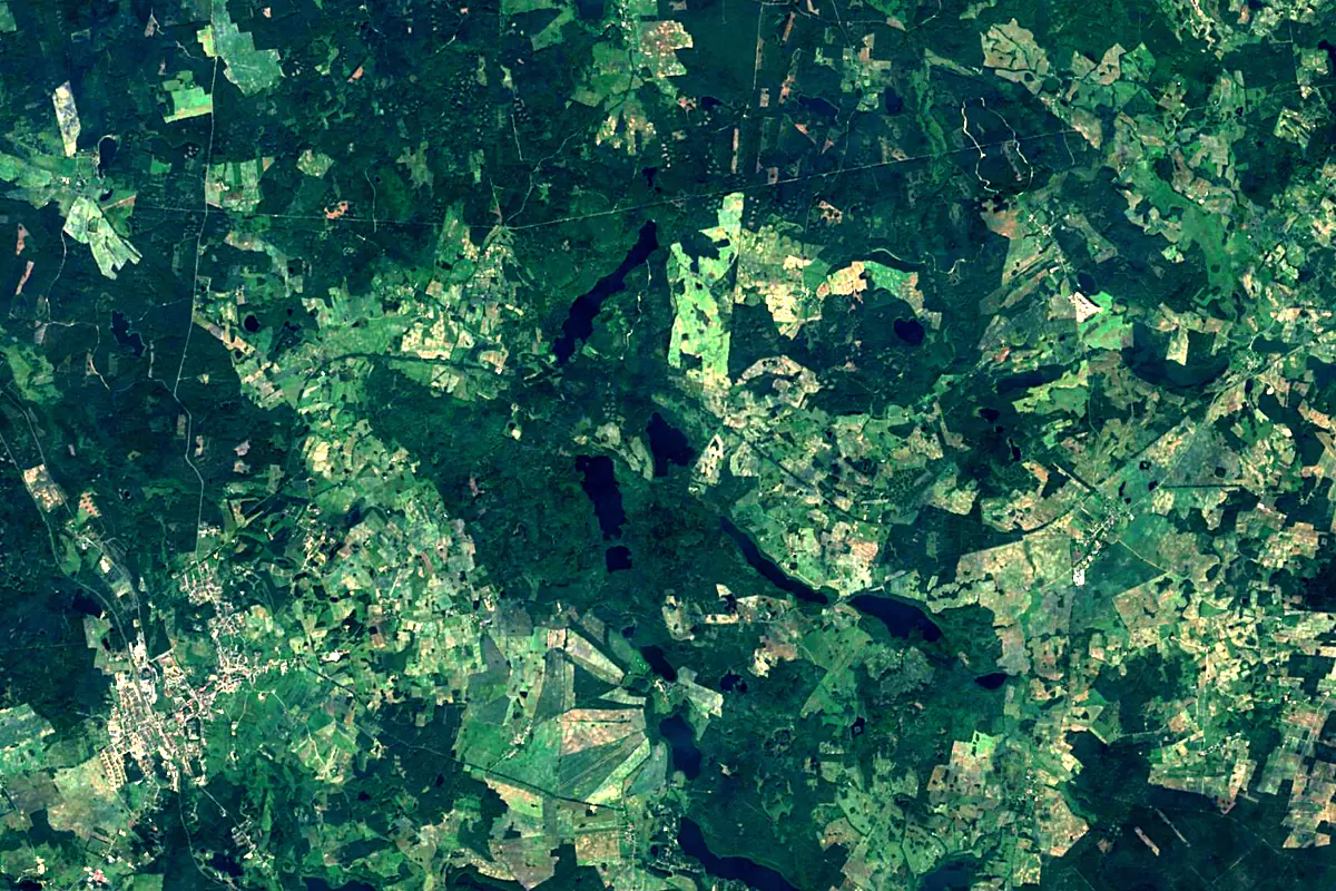
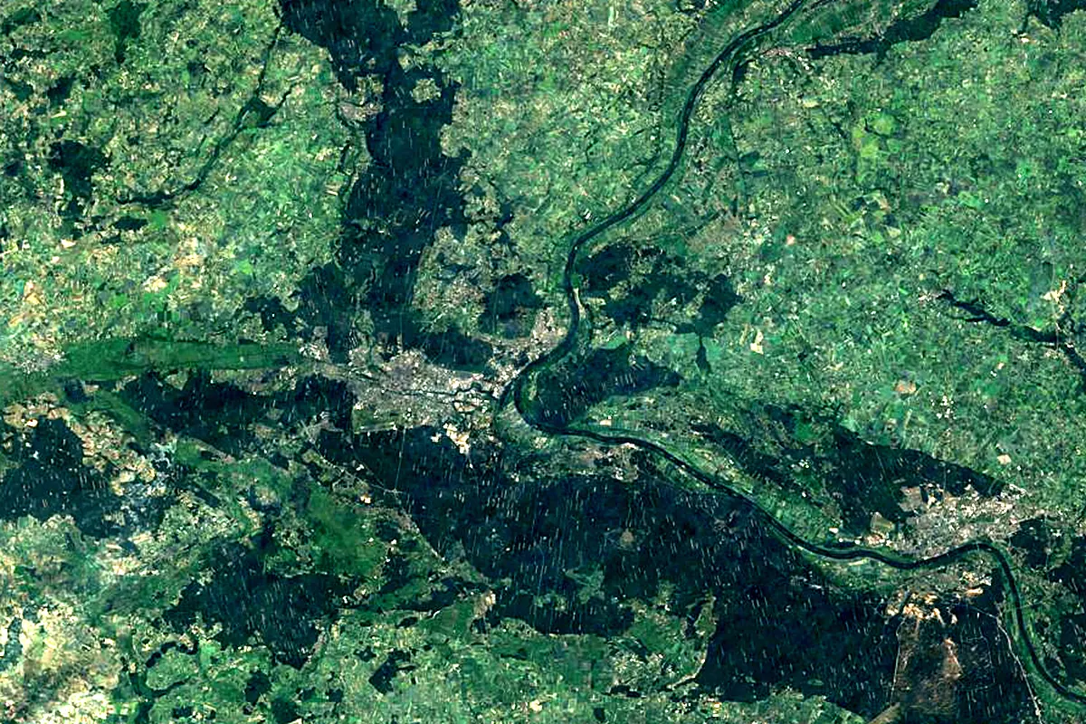
Sentinel-2 cloudless 2016 by EOX IT Services GmbH (contains modified Copernicus Sentinel data 2016), CC BY 4.0. The glowing line is the river as drawn by RiverATLAS.
Photos
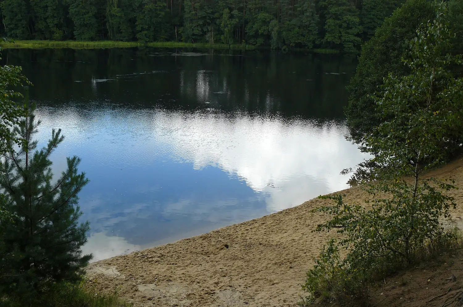
Brda in pictures
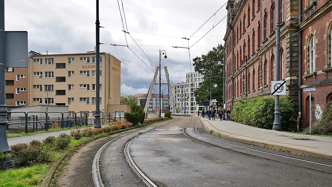
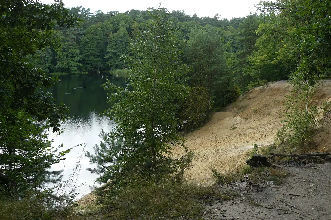
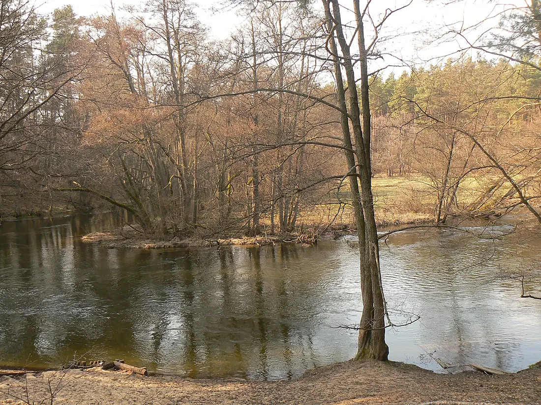
Tributaries
Where it flows, and what flows into it
It flows into
VistulaPoland1,047 km1,100 m³/sTributaries (6)
Also: Zbrzyca, Kicz, Krówka, Flis, Czerska Rivulet, Kotomierzanka
Nearby
Rivers nearby
Where these numbers come from
| Name, length, places | Wikidata (Q772970) · CC0 |
|---|---|
| Course, profile, basin | RiverATLAS v1.0 (HydroATLAS, Linke et al. 2019) · CC BY 4.0 — followed from the source to the mouth given by Wikidata |
| Flow | WaterGAP (RiverATLAS), 1971–2000 · CC BY 4.0 |
| Climate along the river | WorldClim (RiverATLAS), 1970–2000 · CC BY 4.0 |
| Towns, bridges, dams | Wikidata · CC0; GeoNames · CC BY 4.0 |
| Along the river | © OpenStreetMap contributors · ODbL |
| Images | EOX Sentinel-2 cloudless 2016 · CC BY 4.0; Wikimedia Commons |
| Our other atlases | Lakeyas — Wikidata · CC0; © OpenStreetMap contributors · ODbL; GeoNames · CC BY 4.0; HydroLAKES · CC BY 4.0; NOAA OISST |
Every source and licence is on the data sources page.
The family
Do you prefer beaches, lakes, mountains, waterfalls, islands, rivers or canyons?
Same idea, other landscapes: field atlases built on open data, month by month, in seven languages.
 beaches
 Find your beach: sea temperature, sun and swimming month by month.Visit lakes
 Every lake on Earth: water temperature, ice, depth and the shore.Coming soonVisit
  mountains
 Every summit in 3D: summit weather, the 0 °C line, huts and trails.Visit
  waterfalls
 Every waterfall: height, flow month by month and when it roars.Coming soonVisit
  islands
 Every island from the sea up: size, sea temperature, ferries and 3D.Coming soonVisit
  rivers
 Every river from source to sea: the journey, the flow and the basin in numbers.You are here
 canyons
 Every canyon cut to scale: depth to the floor, rim and floor temperatures, trails and viewpoints.Coming soonVisit