River
Desna
1,130 km from source to mouth · Ukraine and Russia.
 Ukraine and RussiaFlows into Dnieper3rd longest in Ukraine
In numbers
Length
1,130km
Average flow
360m³/s
Basin
88,900km²
Drop
125m
from 214 m to 89 m
Countries
2
The journey
From source to mouth
1,130 km of river and 47 stops on the way: 15 towns and cities on its banks, dams, bridges and the tributaries that feed it.
- 0 kmGolubev Mokhat 214 m
- 4 kmYel’nya10,050 people
- 50 kmStryanatributary
- 84 kmDesnogorsk32,451 people
- 84 kmDesnogorsk Reservoir34 km²
- 88 kmPrismaratributary
- 205 kmVetmatributary
- 206 kmZhukovka19,690 people
- 213 kmOzero Orekhovoye (lanaw sa Rusya, Bryanskaya Oblast', lat 53,50, long 33,68)1.5 km²
- 231 kmOzero Bechino0.3 km²
- 257 kmSel’tso18,167 people
- 283 kmBolvatributary
- 291 kmBryansk372,123 people
- 295 kmSnezhettributary
- 386 kmNavlyatributary
- 418 kmTrubchevsk16,100 people
- 422 kmNerussatributary
- 473 kmSudosttributary
- 475 kmZnobowkatributary
- 509 kmSvichatributary
- 513 kmSmiachkatributary
- 521 kmNovhorod-Siverskyi15,175 people
- 536 kmIvotkatributary
- 542 kmShostkatributary
- 569 kmMezyn346 people
- 579 kmOzero Khotyn'0.7 km²
- 597 kmEsman'tributary
- 602 kmVyshenky506 people
- 666 kmUbidtributary
- 674 kmSeymtributary
- 719 kmDochtributary
- 724 kmMenatributary
- 742 kmStepanivka586 people
- 752 kmUpper Smoliankatributary
- 821 kmSnovtributary
- 827 kmZamhlaitributary
- 830 kmVoznesenske577 people
- 844 kmDesnyanskyi179,600 people
- 844 kmChernihiv282,747 people
- 844 kmStryzhentributary
- 845 kmPedestrian Bridge
- 861 kmBiloustributary
- 861 kmUgortributary
- 907 kmLower Smolyankatributary
- 971 kmOster Rivertributary
- 1,011 kmPirnove669 people
- 1,048 kmZazymia2,172 people
- 1,055 kmKyiv Reservoir636 km²
- 1,130 kmDnieperat 89 m
Water level along the river (RiverATLAS; the height is exaggerated). Towns: GeoNames and Wikidata; bridges, dams and tributaries: Wikidata.
River in Ukraine and Russia
At the mouth it carries 360 m³/s on average: an Olympic pool every 6.9 seconds. It drops from 214 m to 89 m, 0.1 m per kilometre on average. Its basin covers 88,900 km², about the size of RS. 3.6 million people live in it. Highest water: from April to June; lowest: from December to March. No large dam holds it back: it is one of the world's free-flowing rivers.
Where to start
- BryanskLargest city on its banks · 372,123 people
- On the water26 ferry piers, marinas, boat rentals and boat ramps along the river (OpenStreetMap)
- From May to SeptemberThe best months to visit
Desna, month by month
Highest water: from April to June
Lowest water: from December to March. Freezing months (average below −4 °C): from January to February. Best months to visit: from May to September.
From about 240 m³/s in the lowest month to 810 m³/s in the highest. An estimate: the monthly flow is modelled from the lowest and highest months of WaterGAP (RiverATLAS, 1971–2000) and the rain and snow along the river (WorldClim). Dams change the real rhythm. The chip is the average air temperature; below it, the month's rain.
Plan the trip
Plan the trip: boat trips, a bed by the river, a car
Some links above are affiliate links: if you book through them we may earn a commission, at no extra cost to you. It never changes what the data on this page says.
The basin
Desna: the basin in numbers
88,490 km² of land send their water to this river. This is what lives on it.
- 3.6millionpeople live in the basin
- 41/km²people per km²
- 175maverage altitude of the basin
- 600mmof rain a year (basin average)
- 6.1°Caverage air temperature
- 4%protected areas
- 0.3%covered by lakes
What covers the basin
- 22% Forest
- 48% Cropland
- 15% Pasture
- 2% Towns and cities
RiverATLAS (HydroATLAS v1.0, CC BY 4.0): land cover, people, protected areas, glaciers and dams over the whole basin upstream of the mouth.
Along the river
Desna: what you find on the way
- 2Weirs
- 2Locks
- 8Waterfalls
- 4Boat ramps
- 15Ferry piersRiver port and 14 more
- 6Marinas
- 18River beachesTroia nude beach, Beach on Pryrichna, Obolon nude beach and 15 more
From OpenStreetMap, within 2.4 km of the river. Not mapped is not the same as not there.
Cross-checked with our atlases
Desna in our other atlases
What our sister atlases know about the waterfalls on this river, the lakes it flows through, the beaches at its mouth, the mountains where it rises and the islands off its mouth.
 5lakes on its wayLakeyas
Lakes and reservoirs (5)
Lakes it flows through, by Lakeyas
- Desnogorsk Reservoirkm 6734km²
- Ozero Orekhovoye (lanaw sa Rusya, Bryanskaya Oblast', lat 53,50, long 33,68)km 1691.5km²
- Ozero Bechinokm 1840.3km²
- Ozero Khotyn'km 4600.7km²
- Kyiv Reservoirkm 838636km²
Lakeyas is coming soonOpen Lakeyas ↗
From space
The source and the mouth, seen from orbit
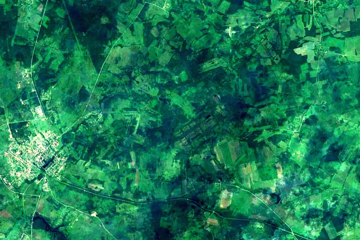
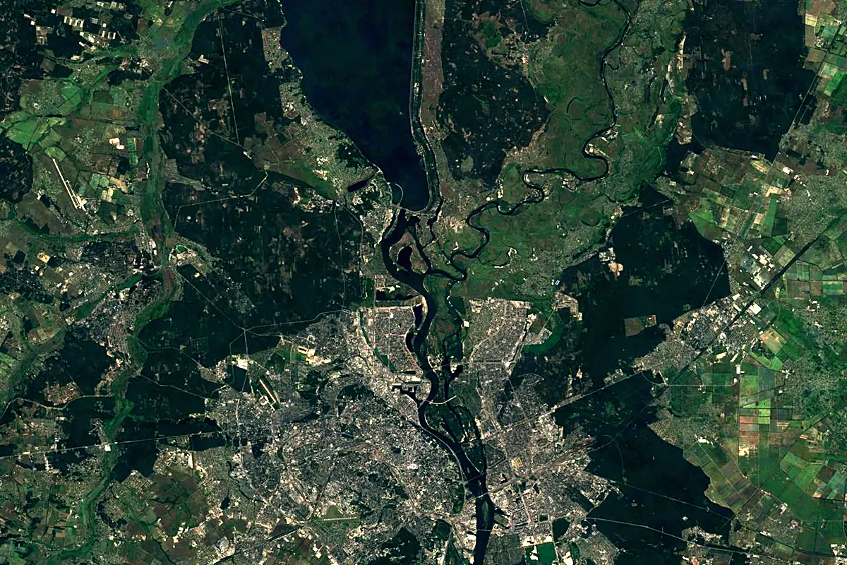
Sentinel-2 cloudless 2016 by EOX IT Services GmbH (contains modified Copernicus Sentinel data 2016), CC BY 4.0. The glowing line is the river as drawn by RiverATLAS.
Photos
Desna in pictures
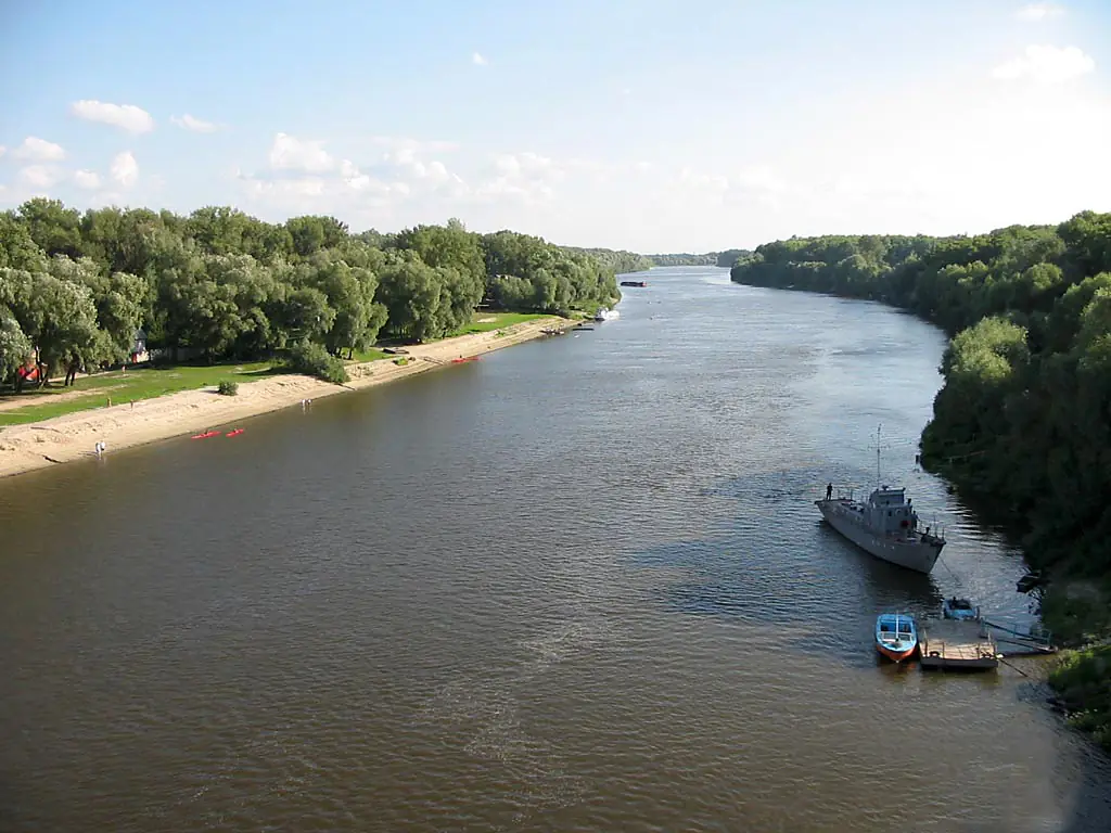
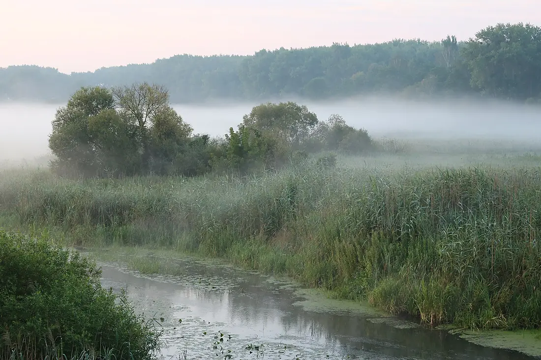
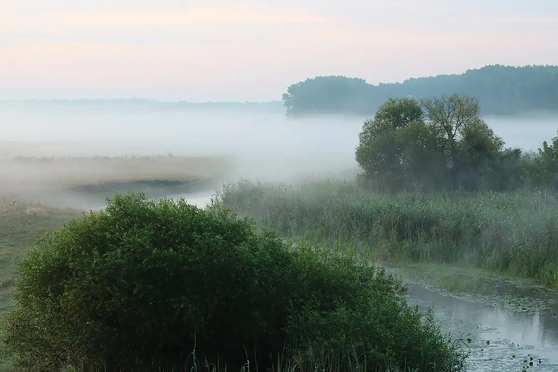
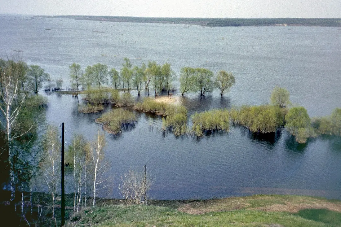
Tributaries
Where it flows, and what flows into it
It flows into
DnieperUkraine2,285 km1,700 m³/sTributaries (58)
Ukraine696 km100 m³/sjoins at km 535SnovUkraine253 km24 m³/sjoins at km 652SudostUkraine208 km19 m³/sjoins at km 375Oster RiverUkraine199 km3.2 m³/sjoins at km 771Also: Bolva, Nerussa, Ivotka, Shostka, Ubid, Vetma, Navlya, Doch, Stryzhen, Esman', Smiachka, Bilous, Prismara, Veresoch, Zamhlai, Znobowka, Mena, Lushniki, Svicha, Rohozna, Roma, Desna, Makhniia, Lower Smolyanka
In the same basin
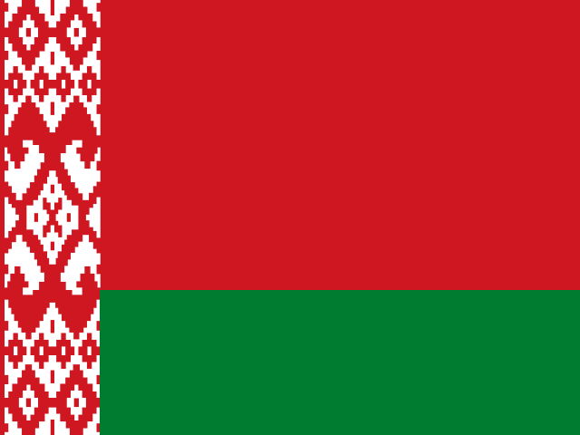 Belarus
Nearby
Rivers nearby
Ukraine775 km460 m³/s72 km awayIrpin RiverUkraine162 km12 m³/s25 km awayTeterivUkraine385 km18 m³/s57 km awayOster RiverUkraine199 km3.2 m³/s46 km awayUzhUkraine256 km520 m³/s80 km awayTrubizh RiverUkraine113 km360 m³/s88 km awayRos RiverUkraine346 km22 m³/s134 km awaySnovUkraine253 km24 m³/s130 km awayWhere these numbers come from
| Name, length, places | Wikidata (Q202796) · CC0 |
|---|---|
| Course, profile, basin | RiverATLAS v1.0 (HydroATLAS, Linke et al. 2019) · CC BY 4.0 — followed from the source to the mouth given by Wikidata |
| Flow | WaterGAP (RiverATLAS), 1971–2000 · CC BY 4.0 |
| Climate along the river | WorldClim (RiverATLAS), 1970–2000 · CC BY 4.0 |
| Towns, bridges, dams | Wikidata · CC0; GeoNames · CC BY 4.0 |
| Along the river | © OpenStreetMap contributors · ODbL |
| Images | EOX Sentinel-2 cloudless 2016 · CC BY 4.0; Wikimedia Commons |
| Our other atlases | Lakeyas — Wikidata · CC0; © OpenStreetMap contributors · ODbL; GeoNames · CC BY 4.0; HydroLAKES · CC BY 4.0; NOAA OISST |
Every source and licence is on the data sources page.
The family
Do you prefer beaches, lakes, mountains, waterfalls, islands, rivers or canyons?
Same idea, other landscapes: field atlases built on open data, month by month, in seven languages.
 beaches
 Find your beach: sea temperature, sun and swimming month by month.Visit lakes
 Every lake on Earth: water temperature, ice, depth and the shore.Coming soonVisit
  mountains
 Every summit in 3D: summit weather, the 0 °C line, huts and trails.Visit
  waterfalls
 Every waterfall: height, flow month by month and when it roars.Coming soonVisit
  islands
 Every island from the sea up: size, sea temperature, ferries and 3D.Coming soonVisit
  rivers
 Every river from source to sea: the journey, the flow and the basin in numbers.You are here
 canyons
 Every canyon cut to scale: depth to the floor, rim and floor temperatures, trails and viewpoints.Coming soonVisit