River
Nile
6,650 km from source to mouth · 7 countries.
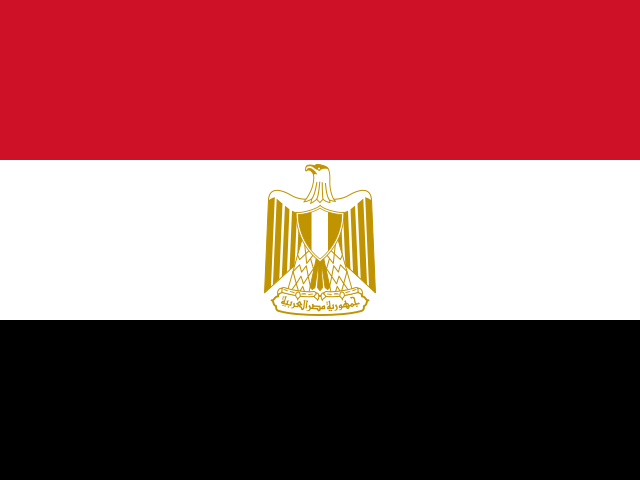
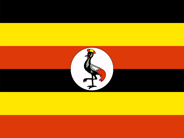
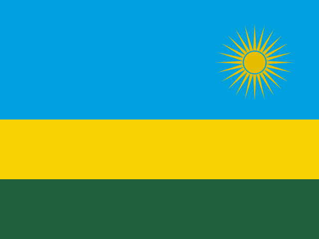
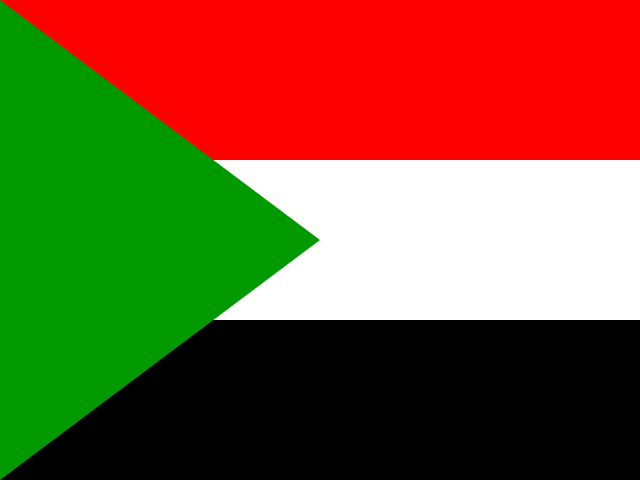
 Egypt, Uganda, Rwanda, Sudan, Ethiopia, South Sudan and BurundiFlows into Mediterranean Sea1st longest in Egypt
In numbers
Length
6,650km
Average flow
2,800m³/s
Basin
3,400,000km²
Drop
1,996m
from 1,993 m to -3 m
Countries
7
The journey
From source to mouth
6,650 km of river and 68 stops on the way: 56 towns and cities on its banks, dams, bridges and the tributaries that feed it.
- 0 kmLake Victoriaat 1,993 m
- 160 kmBahir Dar350,000 people
- 163 kmLake Tana3,059 km²
- 196 kmBlue Nile Falls42 m
- 1,411 kmRoseires Reservoir225 km²
- 1,412 kmAd-Damazin186,051 people
- 1,665 kmSinga250,000 people
- 1,766 kmSennar Reservoir20 km²
- 1,775 kmSennar130,122 people
- 1,963 kmWad Medani332,714 people
- 2,219 kmKhartoum5,345,000 people
- 2,223 kmWhite Niletributary
- 2,224 kmOmdurman1,849,659 people
- 2,225 kmBlue Niletributary
- 2,227 kmKhartoum North1,012,211 people
- 2,631 kmAd-Damir103,941 people
- 2,643 kmAtbarah Rivertributary
- 2,646 kmAtbara112,021 people
- 3,219 kmMerowe Dam
- 3,426 kmWadi al-Meliktributary
- 4,610 kmLake Nasser5,385 km²
- 4,610 kmAswan Dam
- 4,630 kmAswan401,890 people
- 4,630 kmAswān379,774 people
- 4,682 kmKom Ombo409,311 people
- 4,766 kmEdfu133,772 people
- 4,831 kmEsna462,787 people
- 4,906 kmLuxor422,407 people
- 4,907 kmAncient Thebes with its NecropolisUNESCO World Heritage
- 4,987 kmQina252,883 people
- 5,137 kmGirga151,256 people
- 5,160 kmAl Minshāh91,149 people
- 5,180 kmAkhmīm151,430 people
- 5,187 kmSohag266,944 people
- 5,232 kmŢahţā134,314 people
- 5,255 kmŢimā101,130 people
- 5,279 kmAbū Tīj105,418 people
- 5,310 kmAssiut528,669 people
- 5,312 kmAsyut562,061 people
- 5,329 kmAbnūb111,785 people
- 5,350 kmManfalūţ117,925 people
- 5,380 kmAl Qūşīyah99,598 people
- 5,395 kmDayrūţ102,570 people
- 5,424 kmMallawī212,628 people
- 5,488 kmMinya236,043 people
- 5,519 kmSamālūţ142,009 people
- 5,519 kmSamalut91,475 people
- 5,552 kmBanī Mazār115,759 people
- 5,553 kmBeni Mazar79,553 people
- 5,573 kmMaghāghah118,223 people
- 5,573 kmMaghagha75,657 people
- 5,601 kmAl Fashn112,999 people
- 5,619 kmBibā94,677 people
- 5,644 kmBeni Suef294,125 people
- 5,646 kmBanī Suwayf273,151 people
- 5,658 kmBūsh136,441 people
- 5,769 kmḨalwān230,000 people
- 5,770 kmHelwan619,293 people
- 5,778 kmAl Ḩawāmidīyah155,055 people
- 5,796 kmGiza4,367,343 people
- 5,798 kmRhoda Island13,206 people
- 5,801 kmCairo9,801,536 people
- 5,802 kmGezira Island17,365 people
- 5,811 kmShubrā al Khaymah1,240,289 people
- 5,820 kmAwsīm94,174 people
- 5,857 kmAshmūn124,483 people
- 6,036 kmDisūq149,291 people
- 6,053 kmFuwwah93,392 people
- 6,095 kmRosetta301,795 people
- 6,650 kmMediterranean Seaat -3 m
Water level along the river (RiverATLAS; the height is exaggerated). Towns: GeoNames and Wikidata; bridges, dams and tributaries: Wikidata.
Major river in northeastern Africa
At the mouth it carries 2,830 m³/s on average: 1.1 Olympic pools every second. It drops from 1,993 m to -3 m, 0.3 m per kilometre on average. Its basin covers 3,400,000 km², about the size of IN. 189 million people live in it. Highest water: from August to September; lowest: from January to April. It is heavily dammed: reservoirs can hold 281% of a year's flow.
Where to start
- CairoLargest city on its banks · 9,801,536 people
- Cairo International Airport (CAI)Nearest airport with scheduled flights, 17 km from the cityCar hire at CAI airport (Cairo)Discover Cars · Affiliate link↗
- On the water161 ferry piers, marinas, boat rentals and boat ramps along the river (OpenStreetMap)
- From November to MarchThe best months to visit
Nile, month by month
Highest water: from August to September
Lowest water: from January to April. Best months to visit: from November to March.
From about 300 m³/s in the lowest month to 5,500 m³/s in the highest. An estimate: the monthly flow is modelled from the lowest and highest months of WaterGAP (RiverATLAS, 1971–2000) and the rain and snow along the river (WorldClim). Dams change the real rhythm. The chip is the average air temperature; below it, the month's rain.
Plan the trip
Plan the trip: boat trips, a bed by the river, a car
Some links above are affiliate links: if you book through them we may earn a commission, at no extra cost to you. It never changes what the data on this page says.
The basin
Nile: the basin in numbers
2,916,802 km² of land send their water to this river. This is what lives on it.
- 189millionpeople live in the basin
- 66/km²people per km²
- 753maverage altitude of the basin
- 671mmof rain a year (basin average)
- 25.3°Caverage air temperature
- 8%protected areas
- 3.1%covered by lakes
- 172km³held in reservoirs
What covers the basin
- 9% Forest
- 11% Cropland
- 36% Pasture
- 2% Towns and cities
RiverATLAS (HydroATLAS v1.0, CC BY 4.0): land cover, people, protected areas, glaciers and dams over the whole basin upstream of the mouth.
Along the river
Nile: what you find on the way
- 27WeirsFlood discharge and 26 more
- 7LocksHawis Suhayl, Al-Mahmudiya Canal and 5 more
- 7WaterfallsBlue Nile Falls, Sixth Cataract and 5 more
- 2Boat ramps
- 137Ferry piersBoat Station, Station phrases, Qustul and 134 more
- 21MarinasBlue Nile Sailing club, Wadi El Seboua, Dakka and 18 more
- 2River beaches
From OpenStreetMap, within 3.3 km of the river. Not mapped is not the same as not there.
Cross-checked with our atlases
Nile in our other atlases
What our sister atlases know about the waterfalls on this river, the lakes it flows through, the beaches at its mouth, the mountains where it rises and the islands off its mouth.
 1waterfall on the riverCascadyas
 4lakes on its wayLakeyas
 2beaches at the mouth and on the banksCoastya
 4mountains at the sourcePeakyas
 1island off the mouthIslandyas
Waterfalls (1)
On the river, by Cascadyas
- Blue Nile Fallskm 14942m
Cascadyas is coming soonOpen Cascadyas ↗
Lakes and reservoirs (4)
Lakes it flows through, by Lakeyas
- Lake Tanakm 124 · 14 m deep3,059km²
- Roseires Reservoirkm 1,075225km²
- Sennar Reservoirkm 1,34520km²
- Lake Nasserkm 3,511 · 25 m deep5,385km²
Lakeyas is coming soonOpen Lakeyas ↗
Beaches (2)
At the mouth (25 km) and on the banks, by Coastya
- Bāb Ţallūz22 km away · cove27.6°C
- Jūnat al Jurf22 km away · cove27.6°C
Mountains at the source (4)
Within 15 km of the source, by Peakyas
- Jabal Torya12 km away
- Jabal Surkab11 km away
- Jabal al Liwebda15 km away
- Jibāl el Markhyat14 km away
Islands off the mouth (1)
Within 30 km of the mouth, by Islandyas
- Nelson's Island28 km away0.0km²
Islandyas is coming soonOpen Islandyas ↗
From space
The source and the mouth, seen from orbit
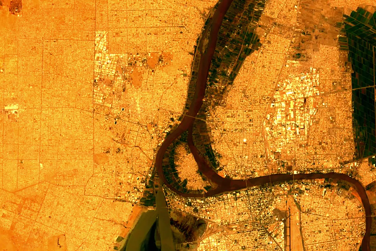
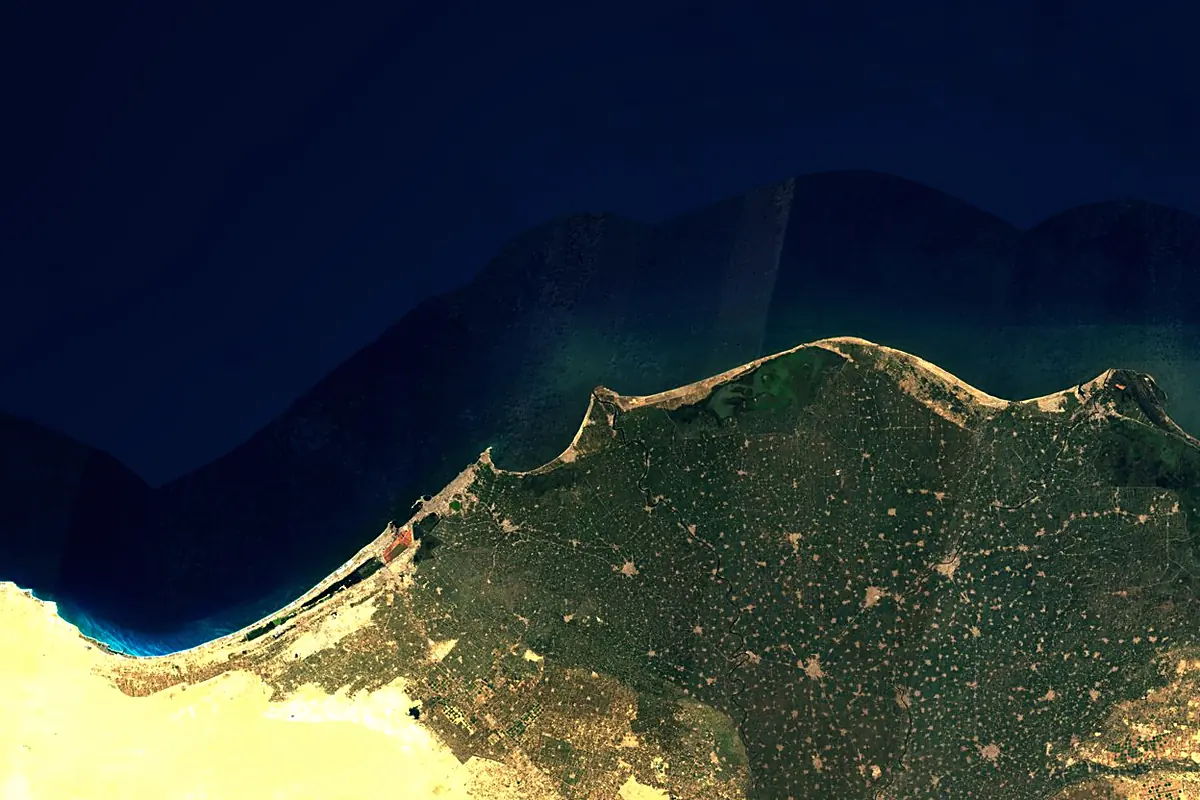
Sentinel-2 cloudless 2016 by EOX IT Services GmbH (contains modified Copernicus Sentinel data 2016), CC BY 4.0. The glowing line is the river as drawn by RiverATLAS.
Photos
Nile in pictures
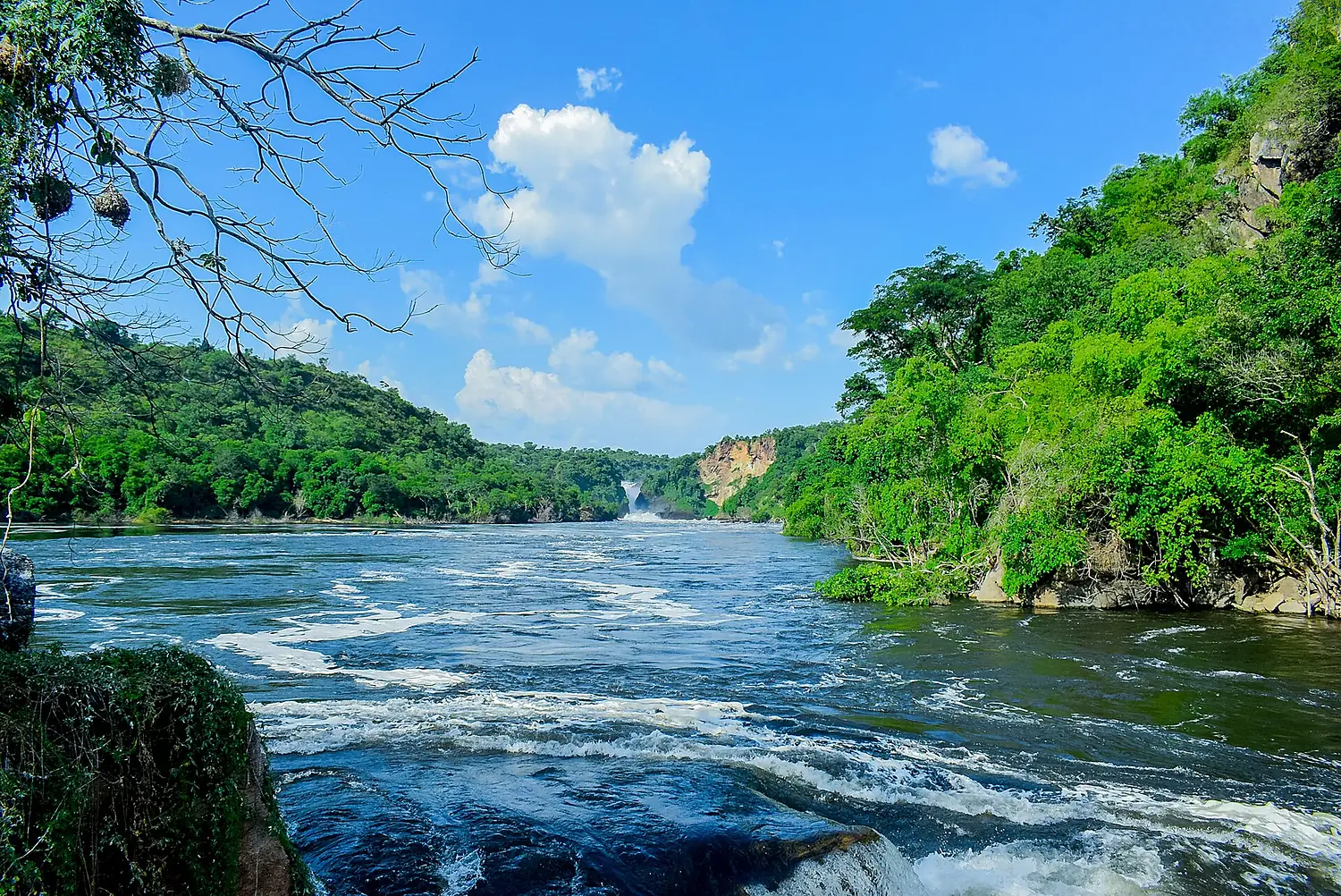
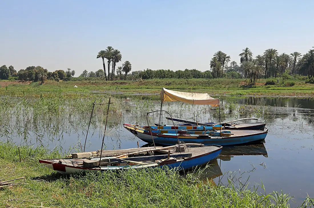
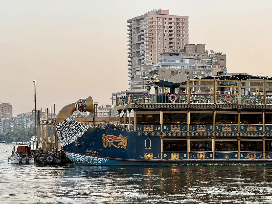
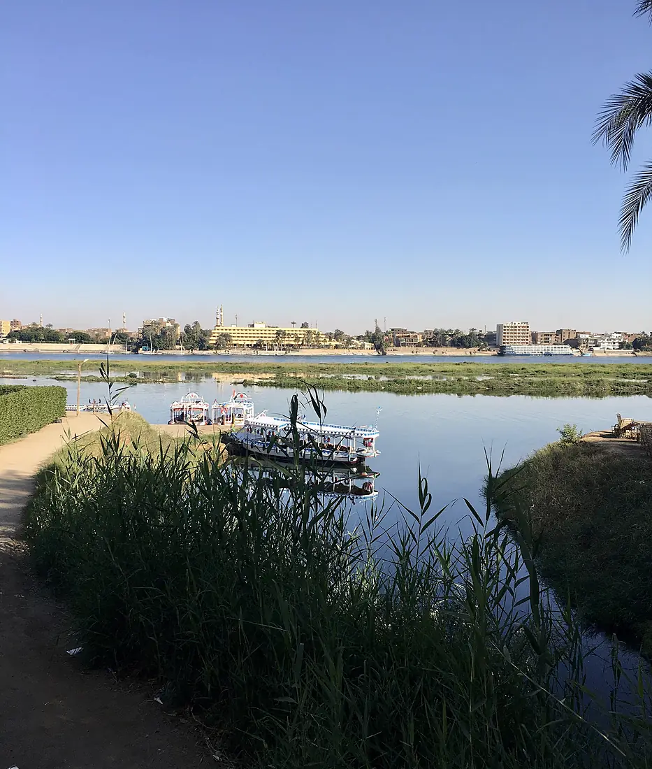
Tributaries
Where it flows, and what flows into it
Tributaries (6)
Sudan2,620 km880 m³/sjoins at km 1,693Blue NileSudan1,783 km1,500 m³/sjoins at km 1,694Atbarah RiverSudan1,120 km370 m³/sjoins at km 2,013Also: Wadi al-Melik, Among River, Nyamugamba
In the same basin
Uganda400 km350 m³/sSobat RiverSouth Sudan306 km410 m³/sBahr el Ghazal RiverSouth Sudan716 km2.0 m³/sTekezé RiverSudan608 km140 m³/sMara River Tanzania395 km18 m³/sValley of the QueensEgypt4,302 km2,600 m³/sBaro RiverEthiopia306 km240 m³/sSemliki RiverUganda230 km240 m³/sRurubu RiverTanzania300 km100 m³/sMareb RiverSudan440 km80 m³/s
Nearby
Rivers nearby
Egypt40 km0.0 m³/s113 km awayYarkon River Israel28 km12 m³/s421 km awayJordan River
 Jordan252 km52 m³/s488 km awayKouris River
 Cyprus38 km1.8 m³/s414 km awayKishon RiverIsrael70 km7.6 m³/s463 km awayZarqa RiverJordan65 km6.5 m³/s493 km awayWadi MujibJordan72 km3.8 m³/s494 km awayWadi Auja
 Palestine208 km47 m³/s490 km away
Where these numbers come from
| Name, length, places | Wikidata (Q3392) · CC0 |
|---|---|
| Course, profile, basin | RiverATLAS v1.0 (HydroATLAS, Linke et al. 2019) · CC BY 4.0 — followed from the source to the mouth given by Wikidata |
| Flow | WaterGAP (RiverATLAS), 1971–2000 · CC BY 4.0 |
| Climate along the river | WorldClim (RiverATLAS), 1970–2000 · CC BY 4.0 |
| Towns, bridges, dams | Wikidata · CC0; GeoNames · CC BY 4.0 |
| Along the river | © OpenStreetMap contributors · ODbL |
| Images | EOX Sentinel-2 cloudless 2016 · CC BY 4.0; Wikimedia Commons |
| Our other atlases | Cascadyas, Lakeyas, Coastya, Peakyas, Islandyas — Wikidata · CC0; © OpenStreetMap contributors · ODbL; GeoNames · CC BY 4.0; HydroLAKES · CC BY 4.0; NOAA OISST |
Every source and licence is on the data sources page.
The family
Do you prefer beaches, lakes, mountains, waterfalls, islands, rivers or canyons?
Same idea, other landscapes: field atlases built on open data, month by month, in seven languages.
beaches Find your beach: sea temperature, sun and swimming month by month.Visit lakes
 Every lake on Earth: water temperature, ice, depth and the shore.Coming soonVisit mountains
 Every summit in 3D: summit weather, the 0 °C line, huts and trails.Visit waterfalls
 Every waterfall: height, flow month by month and when it roars.Coming soonVisit islands
 Every island from the sea up: size, sea temperature, ferries and 3D.Coming soonVisit
  rivers
 Every river from source to sea: the journey, the flow and the basin in numbers.You are here
 canyons
 Every canyon cut to scale: depth to the floor, rim and floor temperatures, trails and viewpoints.Coming soonVisit