River
Segre
265 km from source to mouth · Spain and France.
 Spain and FranceFlows into Ebro10th longest in Spain
In numbers
Length
265km
Average flow
100m³/s
Basin
22,400km²
Drop
1,142m
from 1,211 m to 69 m
Countries
2
The journey
From source to mouth
265 km of river and 68 stops on the way: 47 towns and cities on its banks, dams, bridges and the tributaries that feed it.
- 0 kmLloat 1,211 m
- 0 kmSaillagouse1,155 people
- 1 kmFrench Cerdagne13,665 people
- 1 kmLlívia1,562 people
- 7 kmBourg-Madame1,182 people
- 7 kmPuigcerdà10,035 people
- 12 kmCaroltributary
- 13 kmFontanals de Cerdanya516 people
- 15 kmBolvir493 people
- 16 kmGuils de Cerdanya557 people
- 17 kmGer501 people
- 19 kmIsòvol314 people
- 19 kmDas261 people
- 21 kmPrats i Sansor252 people
- 24 kmRiu Durantributary
- 27 kmBellver de Cerdanya2,289 people
- 31 kmPrullans270 people
- 35 kmMontellà i Martinet598 people
- 37 kmRiu de la Llosatributary
- 56 kmAlàs i Cerc320 people
- 62 kmLa Seu d'Urgell13,009 people
- 63 kmGran Valiratributary
- 65 kmMontferrer i Castellbò1,161 people
- 72 kmRibera d'Urgellet989 people
- 86 kmOrganyà853 people
- 90 kmColl de Nargó585 people
- 101 kmOliana Reservoir2.1 km²
- 105 kmOliana1,874 people
- 112 kmRibera Saladatributary
- 114 kmBassella216 people
- 125 kmEl Rialbtributary
- 126 kmPantà de Rialb4.2 km²
- 128 kmLa Baronia de Rialb216 people
- 130 kmPonts2,653 people
- 134 kmLlobregóstributary
- 148 kmArtesa de Segre3,559 people
- 166 kmNoguera Pallaresatributary
- 166 kmEl Boixtributary
- 166 kmPantà de Camarasa4.3 km²
- 170 kmCamarasa788 people
- 175 kmSant Llorenç de Montgai reservoir0.8 km²
- 176 kmOs de Balaguer1,088 people
- 183 kmSió rivertributary
- 184 kmBalaguer17,729 people
- 188 kmVallfogona de Balaguer2,009 people
- 195 kmTérmens1,350 people
- 196 kmMenàrguens798 people
- 199 kmTorrelameu788 people
- 200 kmVilanova de la Barca1,163 people
- 202 kmCorbins1,502 people
- 203 kmCorbtributary
- 206 kmAlcoletge3,640 people
- 208 kmNoguera Ribagorzanatributary
- 218 kmArroyo de la Femosatributary
- 221 kmAlbatàrrec2,331 people
- 223 kmMontoliu de Lleida488 people
- 224 kmSudanell915 people
- 227 kmSettributary
- 228 kmAlcarràs10,256 people
- 231 kmTorres de Segre2,317 people
- 233 kmSoses1,892 people
- 236 kmUtxesa reservoir0.5 km²
- 238 kmAitona2,591 people
- 245 kmSeròs1,954 people
- 248 kmMassalcoreig592 people
- 253 kmCinca Rivertributary
- 254 kmLa Granja d'Escarp994 people
- 261 kmMequinenza2,236 people
- 261 kmReservoir of Mequinenza48 km²
- 265 kmEbroat 69 m
Water level along the river (RiverATLAS; the height is exaggerated). Towns: GeoNames and Wikidata; bridges, dams and tributaries: Wikidata.
French-Spanish-Andorran river
At the mouth it carries 100 m³/s on average: an Olympic pool every 25 seconds. It drops from 1,211 m to 69 m, 4.3 m per kilometre on average. Its basin covers 22,400 km², about the size of BZ. 695,000 people live in it. Highest water: from May to June and from November to December. It is heavily dammed: reservoirs can hold 52% of a year's flow.
Where to start
- BalaguerLargest city on its banks · 17,729 people
- Lleida-Alguaire Airport (ILD)Nearest airport with scheduled flights, 24 km from the cityCar hire at REU airport (Reus)Discover Cars · Affiliate link↗
- On the water5 ferry piers, marinas, boat rentals and boat ramps along the river (OpenStreetMap)
- From May to SeptemberThe best months to visit
Segre, month by month
Highest water: from May to June and from November to December
Best months to visit: from May to September.
From about 74 m³/s in the lowest month to 290 m³/s in the highest. An estimate: the monthly flow is modelled from the lowest and highest months of WaterGAP (RiverATLAS, 1971–2000) and the rain and snow along the river (WorldClim). Dams change the real rhythm. The chip is the average air temperature; below it, the month's rain.
Plan the trip
Plan the trip: boat trips, a bed by the river, a car
Some links above are affiliate links: if you book through them we may earn a commission, at no extra cost to you. It never changes what the data on this page says.
The basin
Segre: the basin in numbers
22,719 km² of land send their water to this river. This is what lives on it.
- 695,000people live in the basin
- 31/km²people per km²
- 912maverage altitude of the basin
- 769mmof rain a year (basin average)
- 10.2°Caverage air temperature
- 23%protected areas
- 0.4%covered by lakes
- 3.0km³held in reservoirs
What covers the basin
- 43% Forest
- 36% Cropland
- 15% Pasture
- 1% Towns and cities
RiverATLAS (HydroATLAS v1.0, CC BY 4.0): land cover, people, protected areas, glaciers and dams over the whole basin upstream of the mouth.
Along the river
Segre: what you find on the way
- 27WeirsPresa del Rec de l'Olla i Segalers, Presa del Salt de Seròs, Presa de Torres and 24 more
- 1Locks
- 5Waterfalls
- 1Boat ramps
- 3MarinasClub Capri Mequinensa, Embarcadero del Ebro / Embarcador de l'Ebre
From OpenStreetMap, within 2.0 km of the river. Not mapped is not the same as not there.
Cross-checked with our atlases
Segre in our other atlases
What our sister atlases know about the waterfalls on this river, the lakes it flows through, the beaches at its mouth, the mountains where it rises and the islands off its mouth.
 6lakes on its wayLakeyas
 132mountains at the sourcePeakyas
Lakes and reservoirs (6)
Lakes it flows through, by Lakeyas
- Oliana Reservoirkm 942.1km²
- Pantà de Rialbkm 1164.2km²
- Pantà de Camarasakm 1534.3km²
- Sant Llorenç de Montgai reservoirkm 1610.8km²
- Utxesa reservoirkm 2180.5km²
- Reservoir of Mequinenzakm 241 · 60 m deep48km²
Lakeyas is coming soonOpen Lakeyas ↗
Mountains at the source (132)
Within 15 km of the source, by Peakyas
- Puigmal2.2 km away · prominence 1,331 m2,910m
- Bastiments11 km away · prominence 276 m2,881m
- Pic de Noufonts5.5 km away · prominence 210 m2,861m
- Pic del Segre1.2 km away · prominence 95 m2,843m
- Pic de l'Infern9.0 km away · prominence 164 m2,870m
- Pic de Finestrelles2.5 km away · prominence 221 m2,826m
- Pic d'Eina4.6 km away · prominence 57 m2,789m
- Pic de la Fossa del Gegant6.9 km away · prominence 84 m2,808m
124 more on PeakyasOpen Peakyas ↗
From space
The source and the mouth, seen from orbit
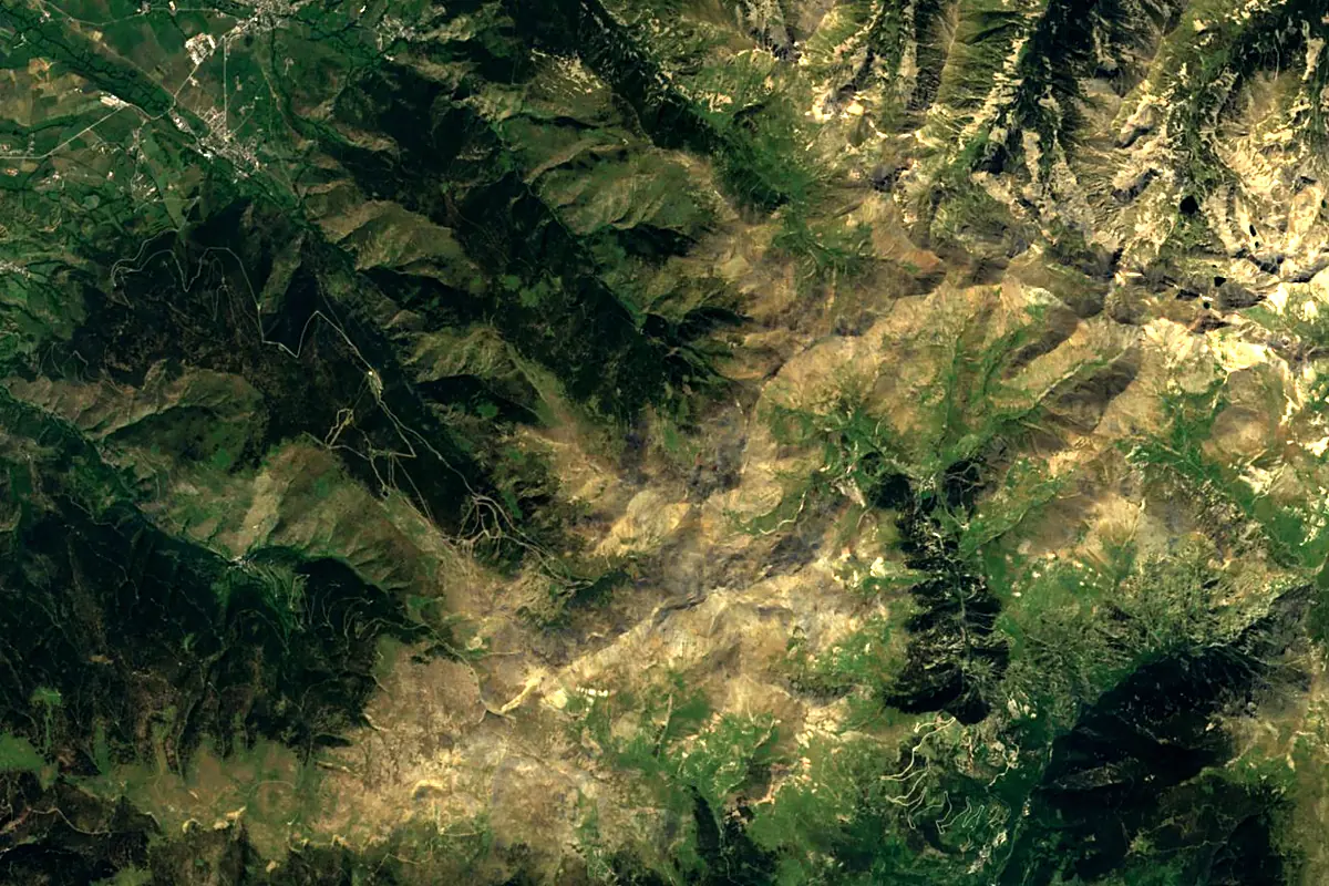
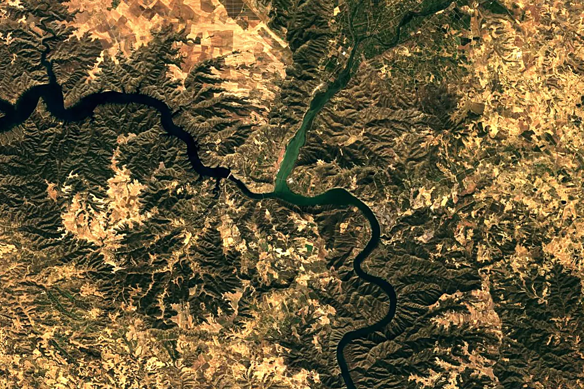
Sentinel-2 cloudless 2016 by EOX IT Services GmbH (contains modified Copernicus Sentinel data 2016), CC BY 4.0. The glowing line is the river as drawn by RiverATLAS.
Photos
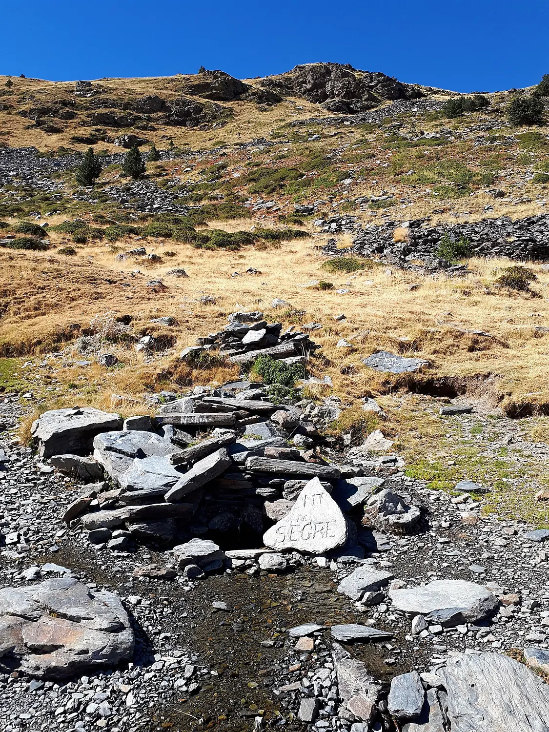
Segre in pictures
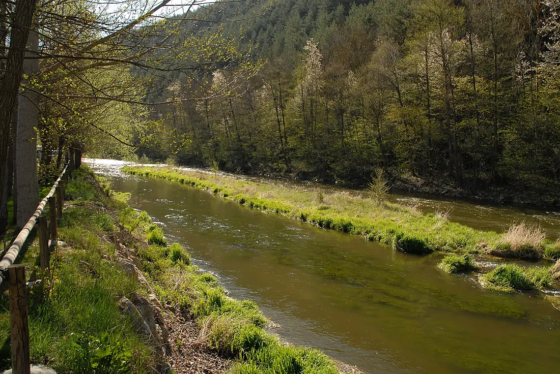
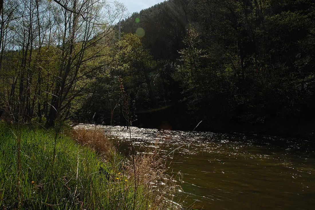
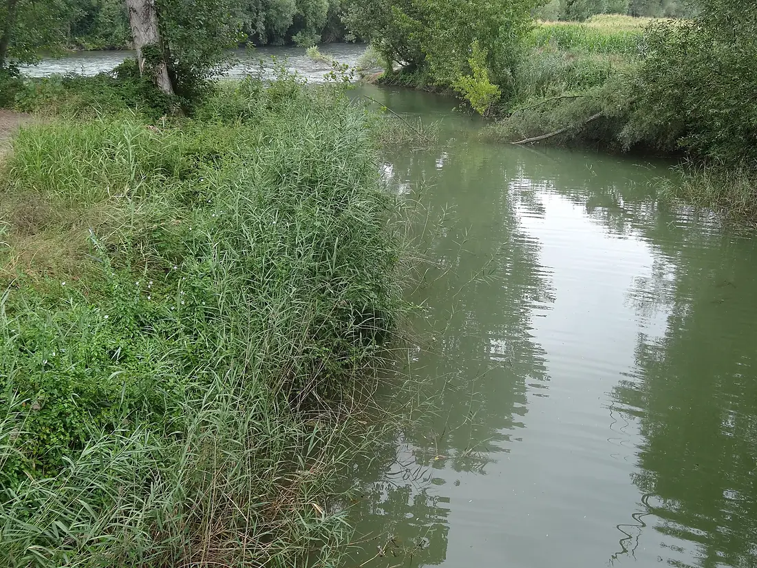
Tributaries
Where it flows, and what flows into it
It flows into
EbroSpain910 km430 m³/sTributaries (26)
Spain170 km100 m³/sjoins at km 234Noguera PallaresaSpain154 km37 m³/sjoins at km 153Gran ValiraSpain44 km10 m³/sjoins at km 58Also: Noguera Ribagorzana, Carol, El Rialb, riu d'Angostrina, Set, Corb, El Farfanya, Sió river, Ribera Salada, Llobregós, riu de Lavansa, Riu de la Llosa, Vanéra, riu de la Color, Arroyo de la Femosa, Riu de Cabó, El Boix, Rec de l'Angust, Riu Duran, Reür, Riera de Madrona, Alp River, río Aransa
Nearby
Rivers nearby
Spain170 km100 m³/s8 km awayGuadalopeSpain160 km4.8 m³/s32 km awayNoguera PallaresaSpain154 km37 m³/s77 km awayGállegoSpain193 km34 m³/s102 km awayJalón RiverSpain224 km21 m³/s135 km awayLlobregatSpain175 km21 m³/s153 km awayGran ValiraSpain44 km10 m³/s145 km awayBesòsSpain18 km4.3 m³/s161 km awayWhere these numbers come from
| Name, length, places | Wikidata (Q23145) · CC0 |
|---|---|
| Course, profile, basin | RiverATLAS v1.0 (HydroATLAS, Linke et al. 2019) · CC BY 4.0 — followed from the source to the mouth given by Wikidata |
| Flow | WaterGAP (RiverATLAS), 1971–2000 · CC BY 4.0 |
| Climate along the river | WorldClim (RiverATLAS), 1970–2000 · CC BY 4.0 |
| Towns, bridges, dams | Wikidata · CC0; GeoNames · CC BY 4.0 |
| Along the river | © OpenStreetMap contributors · ODbL |
| Images | EOX Sentinel-2 cloudless 2016 · CC BY 4.0; Wikimedia Commons |
| Our other atlases | Lakeyas, Peakyas — Wikidata · CC0; © OpenStreetMap contributors · ODbL; GeoNames · CC BY 4.0; HydroLAKES · CC BY 4.0; NOAA OISST |
Every source and licence is on the data sources page.
The family
Do you prefer beaches, lakes, mountains, waterfalls, islands, rivers or canyons?
Same idea, other landscapes: field atlases built on open data, month by month, in seven languages.
 beaches
 Find your beach: sea temperature, sun and swimming month by month.Visit lakes
 Every lake on Earth: water temperature, ice, depth and the shore.Coming soonVisit mountains
 Every summit in 3D: summit weather, the 0 °C line, huts and trails.Visit
  waterfalls
 Every waterfall: height, flow month by month and when it roars.Coming soonVisit
  islands
 Every island from the sea up: size, sea temperature, ferries and 3D.Coming soonVisit
  rivers
 Every river from source to sea: the journey, the flow and the basin in numbers.You are here
 canyons
 Every canyon cut to scale: depth to the floor, rim and floor temperatures, trails and viewpoints.Coming soonVisit