River
Tormes
284 km from source to mouth · Spain.
 SpainFlows into Douro River7th longest in Spain
In numbers
Length
284km
Average flow
42m³/s
Basin
7,109km²
Drop
939m
from 1,305 m to 366 m
Country
1
The journey
From source to mouth
284 km of river and 28 stops on the way: 6 towns and cities on its banks, dams, bridges and the tributaries that feed it.
- 0 kmSourceat 1,305 m
- 0 kmPuente del Duque
- 7 kmSeis Ojos bridge
- 42 kmPuente Viejo, El Barco de Ávila
- 45 kmAravalle Rivertributary
- 56 kmBecedillas Rivertributary
- 58 kmCorneja Rivertributary
- 63 kmBridge of Puente del Congosto
- 72 kmValvanera Rivertributary
- 98 kmSanta Teresa Reservoir17 km²
- 124 kmPuente de Alba de Tormes
- 124 kmAlba de Tormes4,881 people
- 125 kmTerradillos3,232 people
- 134 kmAlmar Rivertributary
- 163 kmSanta Marta de Tormes14,630 people
- 165 kmCarbajosa de la Sagrada3,467 people
- 166 kmPradillo bridge
- 167 kmFelipe VI bridge
- 167 kmSalamanca146,110 people
- 167 kmEnrique Estevan Bridge
- 167 kmRoman bridge of Salamanca
- 168 kmPuente Sánchez Fabres, Salamanca
- 169 kmPuente del VIII Centenario
- 177 kmVillamayor4,538 people
- 195 kmBailey bridge, Almenara de Tormes
- 217 kmPuente Viejo de Ledesma
- 223 kmRivera de Cañedotributary
- 264 kmAlmendra Reservoir37 km²
- 282 kmBemposta Reservoir2.2 km²
- 284 kmDouro Riverat 366 m
Water level along the river (RiverATLAS; the height is exaggerated). Towns: GeoNames and Wikidata; bridges, dams and tributaries: Wikidata.
River tributary to Douro, in the provinces of Ávila, Salamanca and Zamora, Castile and León, Spain
At the mouth it carries 42 m³/s on average: an Olympic pool every 59 seconds. It drops from 1,305 m to 366 m, 3.3 m per kilometre on average. Its basin covers 7,109 km², about the size of PS. 277,000 people live in it. Highest water: from December to January; lowest: from July to September. It is heavily dammed: reservoirs can hold 305% of a year's flow.
Where to start
- SalamancaLargest city on its banks · 146,110 people
- Salamanca Airport (SLM)Nearest airport with scheduled flights, 14 km from the cityCar hire in ZamoraDiscover Cars · Affiliate link↗
- On the water2 ferry piers, marinas, boat rentals and boat ramps along the river (OpenStreetMap)
- Kayak and canoe15 put-ins and rapids mapped (OpenStreetMap)
- From May to SeptemberThe best months to visit
Tormes, month by month
Highest water: from December to January
Lowest water: from July to September. Best months to visit: from May to September.
From about 3.0 m³/s in the lowest month to 93 m³/s in the highest. An estimate: the monthly flow is modelled from the lowest and highest months of WaterGAP (RiverATLAS, 1971–2000) and the rain and snow along the river (WorldClim). Dams change the real rhythm. The chip is the average air temperature; below it, the month's rain.
Plan the trip
Plan the trip: boat trips, a bed by the river, a car
Some links above are affiliate links: if you book through them we may earn a commission, at no extra cost to you. It never changes what the data on this page says.
The basin
Tormes: the basin in numbers
7,054 km² of land send their water to this river. This is what lives on it.
- 277,000people live in the basin
- 39/km²people per km²
- 993maverage altitude of the basin
- 484mmof rain a year (basin average)
- 11.2°Caverage air temperature
- 9%protected areas
- 0.8%covered by lakes
- 3.2km³held in reservoirs
What covers the basin
- 21% Forest
- 38% Cropland
- 23% Pasture
- 1% Towns and cities
RiverATLAS (HydroATLAS v1.0, CC BY 4.0): land cover, people, protected areas, glaciers and dams over the whole basin upstream of the mouth.
Along the river
Tormes: what you find on the way
- 24Weirs
- 2Waterfalls
- 11RapidsRapido del Molino and 10 more
- 4Canoe put-ins
- 1Marinas
- 5River beachesPlaya de Navamediana, Playa Fluvial de Tormellas, Playa Fluvial del Molino and 2 more
From OpenStreetMap, within 1.7 km of the river. Not mapped is not the same as not there.
Cross-checked with our atlases
Tormes in our other atlases
What our sister atlases know about the waterfalls on this river, the lakes it flows through, the beaches at its mouth, the mountains where it rises and the islands off its mouth.
 3lakes on its wayLakeyas
 8mountains at the sourcePeakyas
Lakes and reservoirs (3)
Lakes it flows through, by Lakeyas
- Santa Teresa Reservoirkm 8317km²
- Almendra Reservoirkm 22237km²
- Bemposta Reservoirkm 2382.2km²
Lakeyas is coming soonOpen Lakeyas ↗
Mountains at the source (8)
Within 15 km of the source, by Peakyas
- La Mira11 km away · prominence 348 m2,343m
- Peñón del Mediodía6.2 km away2,219m
- Los Galayos10 km away2,216m
- Cabezo del Cervunal13 km away2,089m
- Torozo9.8 km away2,022m
- Cabeza del Covacho11 km away1,566m
- Los Campanarios13 km away
- Navasolana14 km away
From space
The source and the mouth, seen from orbit
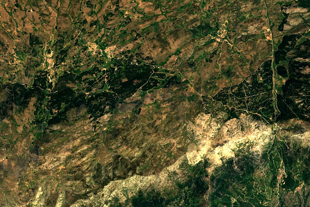
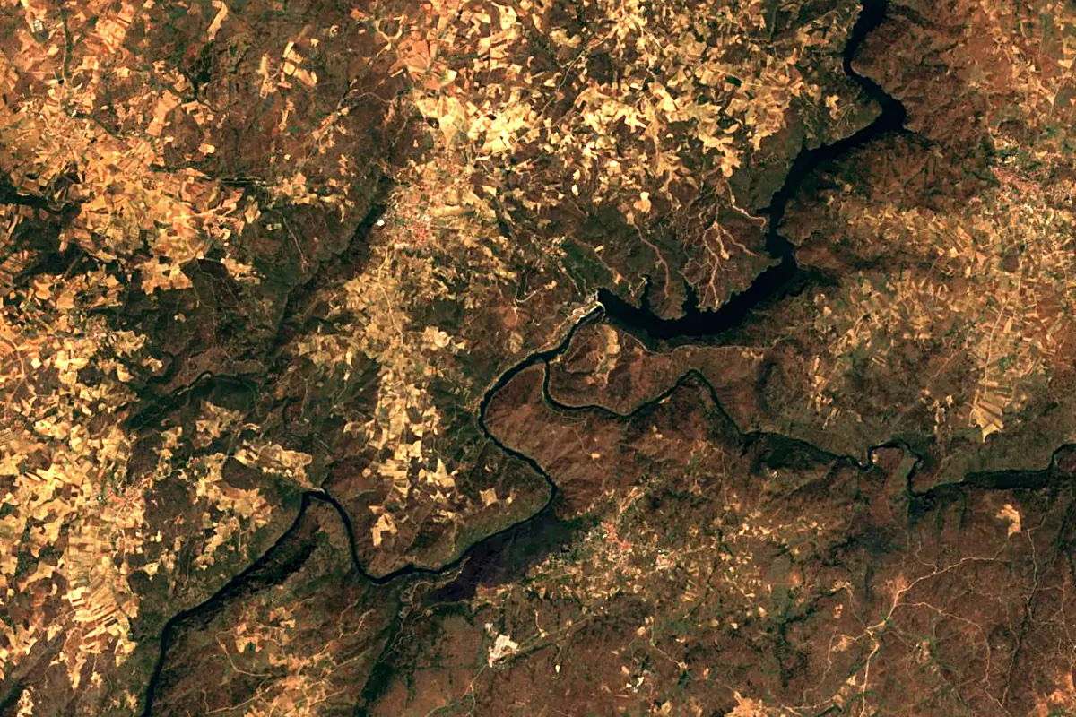
Sentinel-2 cloudless 2016 by EOX IT Services GmbH (contains modified Copernicus Sentinel data 2016), CC BY 4.0. The glowing line is the river as drawn by RiverATLAS.
Photos
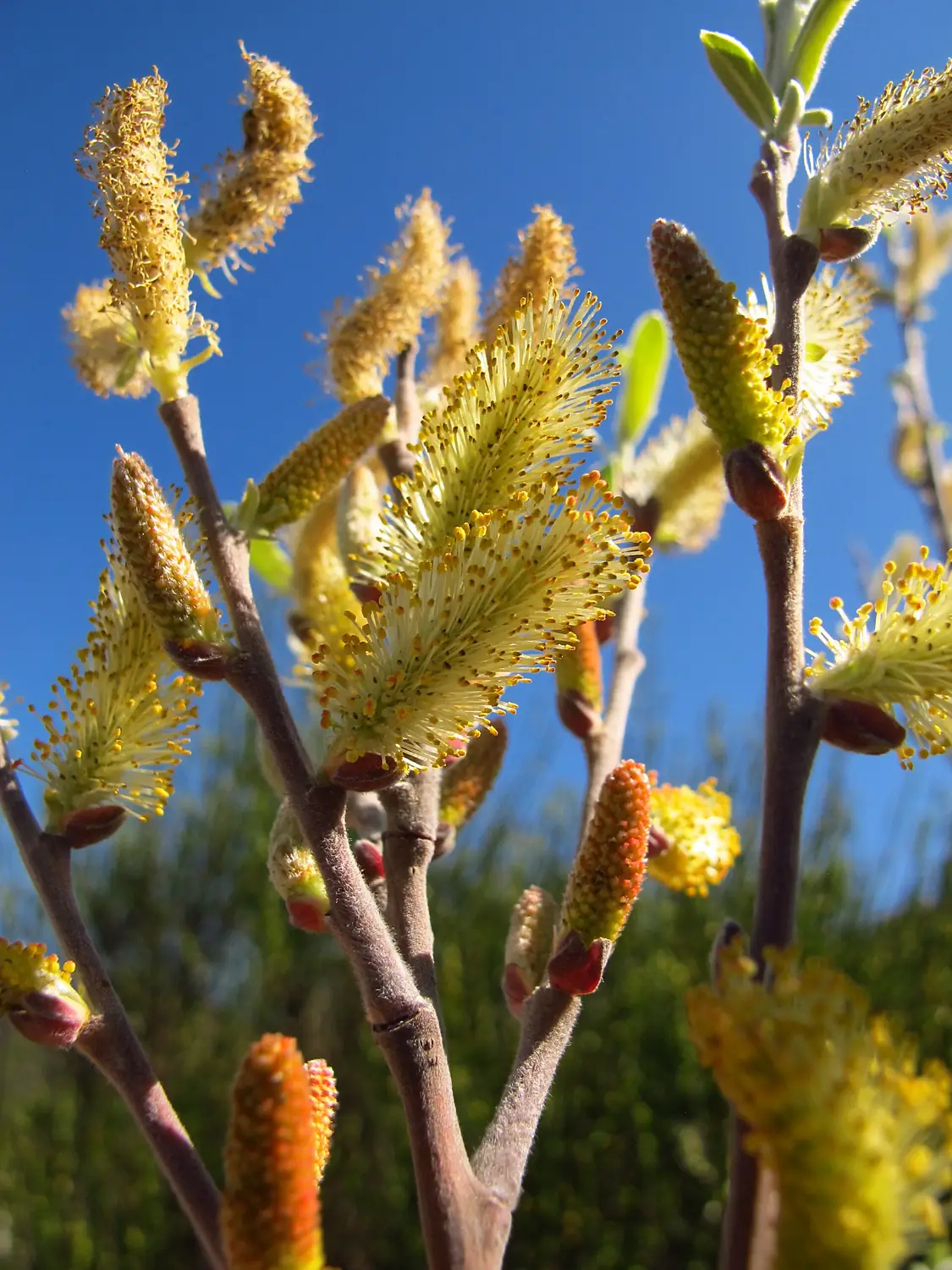
Tormes in pictures
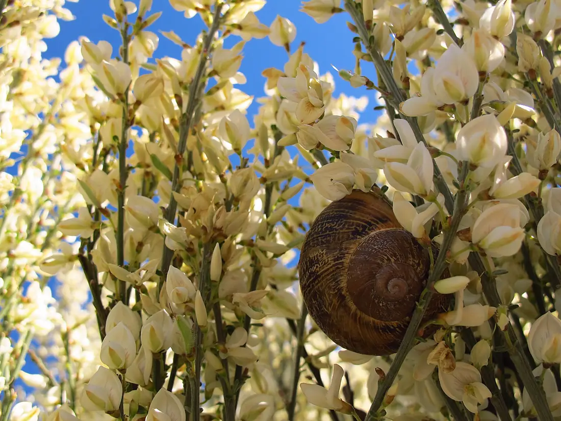
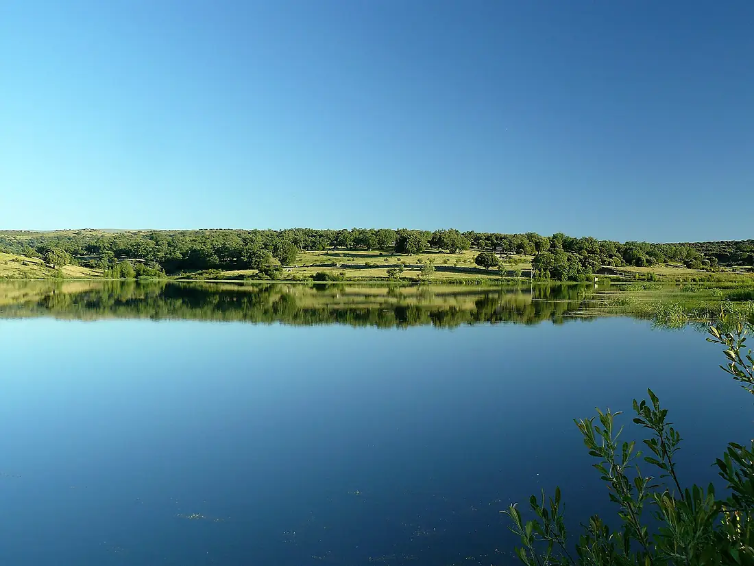
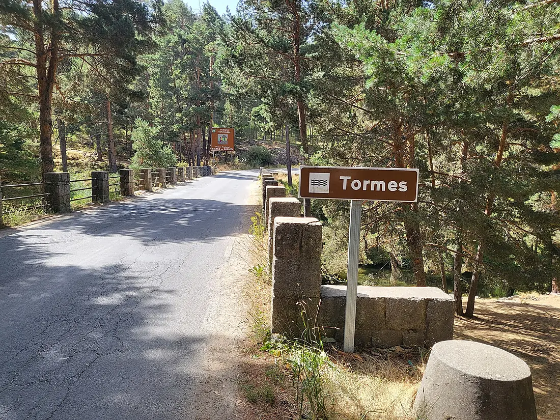
Tributaries
Where it flows, and what flows into it
It flows into
Douro River Portugal897 km680 m³/s
Tributaries (13)
Also: Corneja River, Almar River, Garganta de Bohoyo, Garganta de los Caballeros, Aravalle River, Valvanera River, Garganta de Navamediana, Becedillas River, Barbellido River, Alhándiga River, Rivera de Cañedo, Garganta de Gredos, Garganta de la Garbanza
Nearby
Rivers nearby
Spain285 km140 m³/s41 km awayÁgueda RiverPortugal176 km23 m³/s48 km awayPisuerga RiverSpain283 km110 m³/s137 km awayTâmega RiverPortugal184 km69 m³/s154 km awaySilisSpain228 km240 m³/s165 km awayMinho RiverPortugal315 km340 m³/s203 km awayCarrión RiverSpain179 km21 m³/s191 km awayVouga RiverPortugal148 km62 m³/s195 km awayWhere these numbers come from
| Name, length, places | Wikidata (Q14755) · CC0 |
|---|---|
| Course, profile, basin | RiverATLAS v1.0 (HydroATLAS, Linke et al. 2019) · CC BY 4.0 — followed from the source to the mouth given by Wikidata |
| Flow | WaterGAP (RiverATLAS), 1971–2000 · CC BY 4.0 |
| Climate along the river | WorldClim (RiverATLAS), 1970–2000 · CC BY 4.0 |
| Towns, bridges, dams | Wikidata · CC0; GeoNames · CC BY 4.0 |
| Along the river | © OpenStreetMap contributors · ODbL |
| Images | EOX Sentinel-2 cloudless 2016 · CC BY 4.0; Wikimedia Commons |
| Our other atlases | Lakeyas, Peakyas — Wikidata · CC0; © OpenStreetMap contributors · ODbL; GeoNames · CC BY 4.0; HydroLAKES · CC BY 4.0; NOAA OISST |
Every source and licence is on the data sources page.
The family
Do you prefer beaches, lakes, mountains, waterfalls, islands, rivers or canyons?
Same idea, other landscapes: field atlases built on open data, month by month, in seven languages.
 beaches
 Find your beach: sea temperature, sun and swimming month by month.Visit lakes
 Every lake on Earth: water temperature, ice, depth and the shore.Coming soonVisit mountains
 Every summit in 3D: summit weather, the 0 °C line, huts and trails.Visit
  waterfalls
 Every waterfall: height, flow month by month and when it roars.Coming soonVisit
  islands
 Every island from the sea up: size, sea temperature, ferries and 3D.Coming soonVisit
  rivers
 Every river from source to sea: the journey, the flow and the basin in numbers.You are here
 canyons
 Every canyon cut to scale: depth to the floor, rim and floor temperatures, trails and viewpoints.Coming soonVisit