River
Isle
255 km from source to mouth · France.
 FranceFlows into Dordogne
In numbers
Length
255km
Average flow
63m³/s
Basin
7,510km²
Drop
295m
from 298 m to 3 m
Country
1
The journey
From source to mouth
255 km of river and 68 stops on the way: 60 towns and cities on its banks, dams, bridges and the tributaries that feed it.
- 0 kmMonts du Limousinat 298 m
- 0 kmLa Meyze842 people
- 0 kmJanailhac524 people
- 0 kmLa Roche-l'Abeille590 people
- 3 kmSaint-Yrieix-la-Perche6,830 people
- 4 kmLe Chalard302 people
- 6 kmLadignac-le-Long1,171 people
- 18 kmJumilhac-le-Grand1,130 people
- 25 kmSarrazac363 people
- 27 kmSaint-Paul-la-Roche542 people
- 30 kmValousetributary
- 39 kmNantheuil989 people
- 43 kmCorgnac-sur-l'Isle854 people
- 45 kmSaint-Jory-las-Bloux245 people
- 55 kmCoulaures768 people
- 55 kmLouetributary
- 61 kmMayac325 people
- 64 kmSavignac-les-Églises1,005 people
- 72 kmSarliac-sur-l'Isle1,054 people
- 79 kmAntonne-et-Trigonant1,185 people
- 81 kmAuvézèretributary
- 87 kmTrélissac7,372 people
- 89 kmBoulazac Isle Manoire10,759 people
- 95 kmPérigueux29,055 people
- 98 kmCoulounieix-Chamiers7,832 people
- 103 kmChancelade4,468 people
- 106 kmMarsac-sur-l'Isle3,187 people
- 115 kmRazac-sur-l'Isle2,376 people
- 115 kmAnnesse-et-Beaulieu1,511 people
- 118 kmMontrem1,208 people
- 125 kmSaint-Astier5,376 people
- 132 kmSaint-Léon-sur-l'Isle2,080 people
- 135 kmNeuvic3,687 people
- 139 kmVerntributary
- 139 kmSalembretributary
- 144 kmDouzillac845 people
- 150 kmSourzac1,135 people
- 151 kmSaint-Louis-en-l'Isle311 people
- 153 kmSaint-Front-de-Pradoux1,148 people
- 156 kmMussidan2,771 people
- 158 kmSaint-Médard-de-Mussidan1,618 people
- 171 kmSaint-Laurent-des-Hommes1,012 people
- 177 kmFarganaudtributary
- 178 kmSaint-Martial-d'Artenset943 people
- 183 kmMontpon-Ménestérol5,866 people
- 191 kmMénesplet1,928 people
- 198 kmLe Pizou1,428 people
- 199 kmMoulin-Neuf986 people
- 201 kmSaint-Antoine-sur-l'Isle579 people
- 203 kmGours526 people
- 205 kmPorchères887 people
- 206 kmSaint-Seurin-sur-l'Isle3,167 people
- 209 kmCamps-sur-l'Isle621 people
- 213 kmSaint-Médard-de-Guizières2,438 people
- 223 kmAbzac2,048 people
- 225 kmCoutras8,678 people
- 227 kmDronnetributary
- 231 kmSablons1,314 people
- 233 kmSaint-Martin-de-Laye540 people
- 235 kmBonzac805 people
- 238 kmSaint-Denis-de-Pile5,955 people
- 240 kmSavignac-de-l'Isle612 people
- 244 kmLes Billaux1,174 people
- 245 kmSayetributary
- 245 kmGalgon3,144 people
- 247 kmSaillans369 people
- 251 kmFronsac1,130 people
- 254 kmLibourne25,036 people
- 255 kmArveyres2,056 people
- 255 kmDordogneat 3 m
Water level along the river (RiverATLAS; the height is exaggerated). Towns: GeoNames and Wikidata; bridges, dams and tributaries: Wikidata.
River in France
At the mouth it carries 63 m³/s on average: an Olympic pool every 40 seconds. It drops from 298 m to 3 m, 1.2 m per kilometre on average. Its basin covers 7,510 km², about the size of PR. 352,000 people live in it. Highest water: from December to February. No large dam holds it back: it is one of the world's free-flowing rivers.
Where to start
- PérigueuxLargest city on its banks · 29,055 people
- Bergerac Dordogne-Périgord airport (EGC)Nearest airport with scheduled flights, 43 km from the cityCar hire at EGC airport (Bergerac)Discover Cars · Affiliate link↗
- On the water43 ferry piers, marinas, boat rentals and boat ramps along the river (OpenStreetMap)
- From May to SeptemberThe best months to visit
Isle, month by month
Highest water: from December to February
Best months to visit: from May to September.
From about 38 m³/s in the lowest month to 230 m³/s in the highest. An estimate: the monthly flow is modelled from the lowest and highest months of WaterGAP (RiverATLAS, 1971–2000) and the rain and snow along the river (WorldClim). Dams change the real rhythm. The chip is the average air temperature; below it, the month's rain.
Plan the trip
Plan the trip: boat trips, a bed by the river, a car
Some links above are affiliate links: if you book through them we may earn a commission, at no extra cost to you. It never changes what the data on this page says.
The basin
Isle: the basin in numbers
7,558 km² of land send their water to this river. This is what lives on it.
- 352,000people live in the basin
- 47/km²people per km²
- 169maverage altitude of the basin
- 921mmof rain a year (basin average)
- 11.9°Caverage air temperature
- 11%protected areas
What covers the basin
- 32% Forest
- 22% Cropland
- 16% Pasture
- 1% Towns and cities
RiverATLAS (HydroATLAS v1.0, CC BY 4.0): land cover, people, protected areas, glaciers and dams over the whole basin upstream of the mouth.
Along the river
Isle: what you find on the way
- 65WeirsSeuil de La Roche, Seuil du pont noir et du canal d'Annesse, Seuil du moulin de Montanceix and 62 more
- 28LocksCanal de Bénévent, L'Isle and 26 more
- 40Boat rampsCale de Mise à l'Eau, mise à l'eau du pont noir, cale de Mise a L'eau and 37 more
- 2Ferry piers
- 1Marinas
- 2River beachesplage du Pont Noir, Libourne plage
From OpenStreetMap, within 1.7 km of the river. Not mapped is not the same as not there.
From space
The source and the mouth, seen from orbit
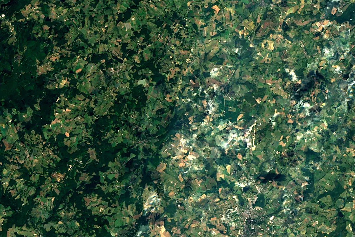
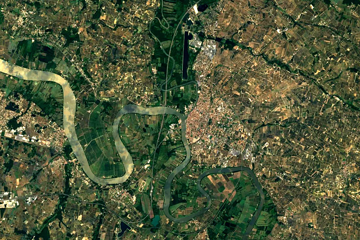
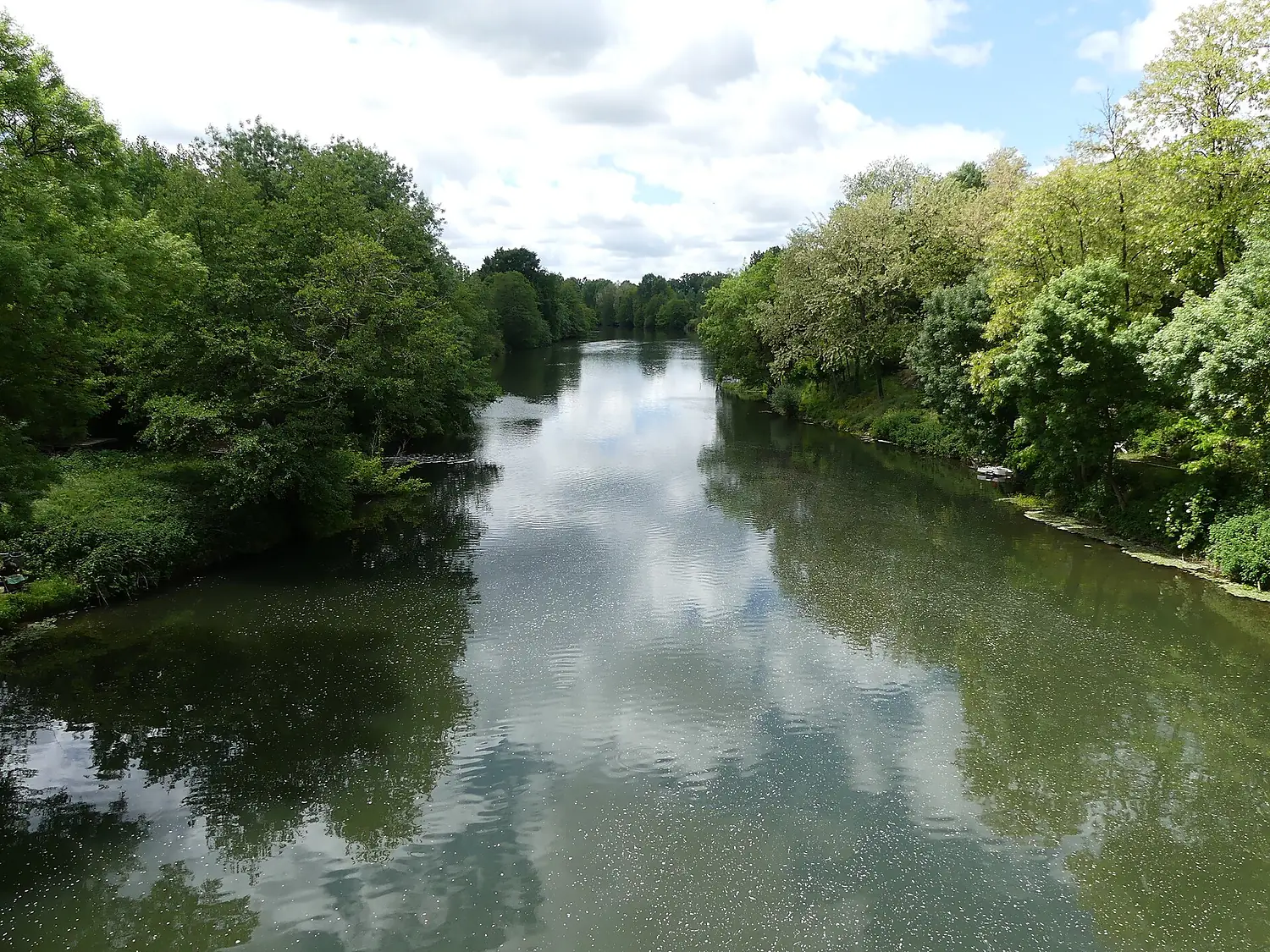
Sentinel-2 cloudless 2016 by EOX IT Services GmbH (contains modified Copernicus Sentinel data 2016), CC BY 4.0. The glowing line is the river as drawn by RiverATLAS.
Tributaries
Where it flows, and what flows into it
It flows into
DordogneFrance483 km450 m³/sTributaries (17)
Also: Dronne, Auvézère, Loue, Lary, Crempse, Vern, Barbanne, Duche, Saye, Cerf, Farganaud, Valouse, Galostre, Lavie, Salembre, Palais, Courbarieu
In the same basin
Nearby
Rivers nearby
Where these numbers come from
| Name, length, places | Wikidata (Q935535) · CC0 |
|---|---|
| Course, profile, basin | RiverATLAS v1.0 (HydroATLAS, Linke et al. 2019) · CC BY 4.0 — followed along the river network from the point given by Wikidata |
| Flow | WaterGAP (RiverATLAS), 1971–2000 · CC BY 4.0 |
| Climate along the river | WorldClim (RiverATLAS), 1970–2000 · CC BY 4.0 |
| Towns, bridges, dams | Wikidata · CC0; GeoNames · CC BY 4.0 |
| Along the river | © OpenStreetMap contributors · ODbL |
| Images | EOX Sentinel-2 cloudless 2016 · CC BY 4.0; Wikimedia Commons |
Every source and licence is on the data sources page.
The family
Do you prefer beaches, lakes, mountains, waterfalls, islands, rivers or canyons?
Same idea, other landscapes: field atlases built on open data, month by month, in seven languages.
 beaches
 Find your beach: sea temperature, sun and swimming month by month.Visit
  lakes
lakes Every lake on Earth: water temperature, ice, depth and the shore.Coming soonVisit
  mountains
 Every summit in 3D: summit weather, the 0 °C line, huts and trails.Visit
  waterfalls
 Every waterfall: height, flow month by month and when it roars.Coming soonVisit
  islands
 Every island from the sea up: size, sea temperature, ferries and 3D.Coming soonVisit
  rivers
 Every river from source to sea: the journey, the flow and the basin in numbers.You are here
 canyons
 Every canyon cut to scale: depth to the floor, rim and floor temperatures, trails and viewpoints.Coming soonVisit