Stream
Charente
381 km from source to mouth · France.
 FranceFlows into Pertuis d'Antioche
In numbers
Length
381km
Average flow
40m³/s
Basin
10,549km²
Drop
129m
from 128 m to -1 m
Country
1
The journey
From source to mouth
381 km of river and 68 stops on the way: 60 towns and cities on its banks, dams, bridges and the tributaries that feed it.
- 0 kmHaute-Vienneat 128 m
- 108 kmPuyréaux582 people
- 112 kmMansle1,692 people
- 117 kmBarro413 people
- 117 kmVerteuil-sur-Charente580 people
- 117 kmCondac456 people
- 122 kmCellettes393 people
- 125 kmLuxé748 people
- 133 kmFouqueure429 people
- 135 kmAmbérac315 people
- 140 kmMarcillac-Lanville521 people
- 161 kmVars2,841 people
- 166 kmSaint-Genis-d'Hiersac942 people
- 176 kmVindelle1,045 people
- 182 kmBalzac1,410 people
- 189 kmGond-Pontouvre5,862 people
- 191 kmAngoulême41,908 people
- 192 kmAnguiennetributary
- 194 kmSaint-Yrieix-sur-Charente7,539 people
- 198 kmFléac3,861 people
- 203 kmNouèretributary
- 203 kmLinars2,115 people
- 206 kmTrois-Palis944 people
- 208 kmNersac2,246 people
- 212 kmRoullet-Saint-Estèphe4,357 people
- 215 kmSireuil1,166 people
- 218 kmChampmillon534 people
- 225 kmChâteauneuf-sur-Charente3,550 people
- 238 kmBassac529 people
- 239 kmSaint-Même-les-Carrières1,023 people
- 248 kmJarnac4,486 people
- 254 kmBourg-Charente887 people
- 257 kmGensac-la-Pallue1,627 people
- 261 kmSaint-Brice982 people
- 263 kmChâteaubernard3,878 people
- 267 kmBoutiers-Saint-Trojan1,387 people
- 271 kmCognac18,532 people
- 275 kmAntennetributary
- 275 kmMerpins1,085 people
- 280 kmNé Rivertributary
- 282 kmSaint-Laurent-de-Cognac832 people
- 285 kmChérac1,130 people
- 290 kmMontils867 people
- 292 kmDompierre-sur-Charente477 people
- 297 kmSeugnetributary
- 301 kmChaniers3,651 people
- 302 kmCourcoury721 people
- 306 kmLes Gonds1,740 people
- 311 kmSaintes25,363 people
- 315 kmFontcouverte2,330 people
- 317 kmBussac-sur-Charente1,321 people
- 325 kmTaillebourg794 people
- 328 kmPort-d'Envaux1,188 people
- 334 kmSaint-Savinien2,460 people
- 347 kmBords1,375 people
- 352 kmLa Vallée707 people
- 353 kmBoutonnetributary
- 358 kmCabariot1,481 people
- 362 kmTonnay-Charente8,289 people
- 364 kmSaint-Hippolyte1,495 people
- 368 kmDevisetributary
- 368 kmArnoulttributary
- 372 kmÉchillais3,765 people
- 377 kmSoubise3,316 people
- 378 kmRochefort23,460 people
- 378 kmSaint-Nazaire-sur-Charente1,210 people
- 379 kmPort-des-Barques1,780 people
- 379 kmSaint-Laurent-de-la-Prée2,299 people
- 379 kmVergeroux1,279 people
- 381 kmPertuis d'Antiocheat -1 m
Water level along the river (RiverATLAS; the height is exaggerated). Towns: GeoNames and Wikidata; bridges, dams and tributaries: Wikidata.
River in France
At the mouth it carries 40 m³/s on average: an Olympic pool every 62 seconds. It drops from 128 m to -1 m, 0.3 m per kilometre on average. Its basin covers 10,549 km², about the size of LB. 600,000 people live in it. Highest water: from December to February; lowest: August. No large dam holds it back: it is one of the world's free-flowing rivers.
Where to start
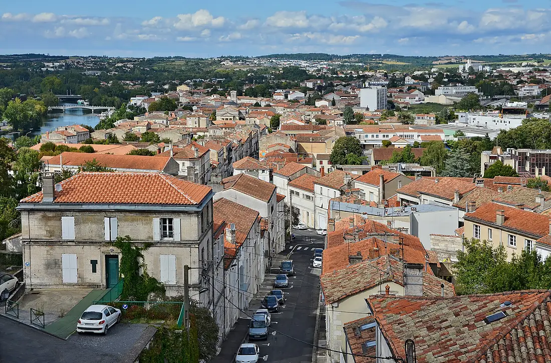
- AngoulêmeLargest city on its banks · 41,908 people
- Limoges Airport (LIG)Nearest airport with scheduled flights, 83 km from the cityCar hire at LIG airport (Limoges/Bellegarde)Discover Cars · Affiliate link↗
- On the water55 ferry piers, marinas, boat rentals and boat ramps along the river (OpenStreetMap)
- From May to SeptemberThe best months to visit
Charente, month by month
Highest water: from December to February
Lowest water: August. Best months to visit: from May to September.
From about 45 m³/s in the lowest month to 330 m³/s in the highest. An estimate: the monthly flow is modelled from the lowest and highest months of WaterGAP (RiverATLAS, 1971–2000) and the rain and snow along the river (WorldClim). Dams change the real rhythm. The chip is the average air temperature; below it, the month's rain.
Plan the trip
Plan the trip: boat trips, a bed by the river, a car
Some links above are affiliate links: if you book through them we may earn a commission, at no extra cost to you. It never changes what the data on this page says.
The basin
Charente: the basin in numbers
9,768 km² of land send their water to this river. This is what lives on it.
- 600,000people live in the basin
- 61/km²people per km²
- 99maverage altitude of the basin
- 866mmof rain a year (basin average)
- 12.0°Caverage air temperature
- 7%protected areas
- 0.0km³held in reservoirs
What covers the basin
- 5% Forest
- 63% Cropland
- 9% Pasture
- 2% Towns and cities
RiverATLAS (HydroATLAS v1.0, CC BY 4.0): land cover, people, protected areas, glaciers and dams over the whole basin upstream of the mouth.
Along the river
Charente: what you find on the way
- 79WeirsBarrage de Saint-Simon, Grand Badras, Barrage de Bagnolet and 76 more
- 69LocksLa Charente, Écluse de Chalonne, Écluse de Saint-Cybard and 66 more
- 37Boat rampsSortie d'eau (haut barrage), Plage de Gagne-vin, Cale de Saint Savinien and 34 more
- 5Ferry piersFée des Îles and 4 more
- 6MarinasPort de plaisance de Cognac, Bassin de Plaisance Bougainville, Bassin de Plaisance Lapérousse and 3 more
- 2River beachesBaignade du Portal, Baignade de Marsac
From OpenStreetMap, within 1.8 km of the river. Not mapped is not the same as not there.
Cross-checked with our atlases
Charente in our other atlases
What our sister atlases know about the waterfalls on this river, the lakes it flows through, the beaches at its mouth, the mountains where it rises and the islands off its mouth.
 4beaches at the mouth and on the banksCoastya
 1mountain at the sourcePeakyas
 6islands off the mouthIslandyas
Beaches (4)
At the mouth (25 km) and on the banks, by Coastya
- La Plage d'Aytré21 km away20.0°C
- Anse de la Coué8.4 km away · cove20.3°C
- Anse de Godechaud22 km away · cove20.0°C
- Anse du Saillant16 km away · cove20.0°C
Mountains at the source (1)
Within 15 km of the source, by Peakyas
- Category:Grand Puyconnieux13 km away
Islands off the mouth (6)
Within 30 km of the mouth, by Islandyas
- Oléron Island22 km away174km²
- Île-d'Aix16 km away1.2km²
- île Madame9.0 km away0.8km²
- Aix Island15 km away1.2km²
- Fort Louvois17 km away
- île de Nôle18 km away0.0km²
Islandyas is coming soonOpen Islandyas ↗
From space
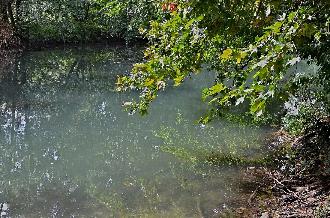
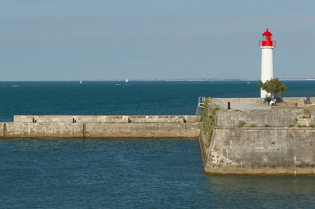
The source and the mouth, seen from orbit
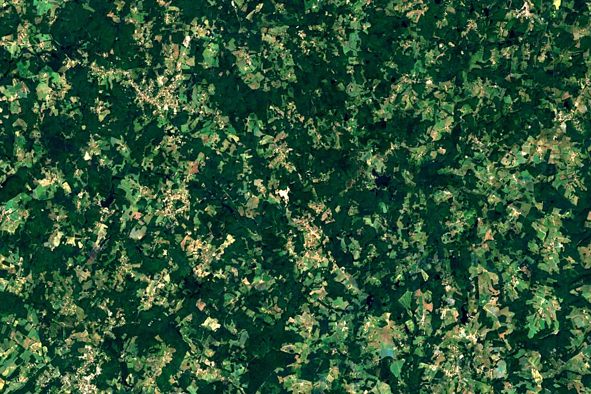
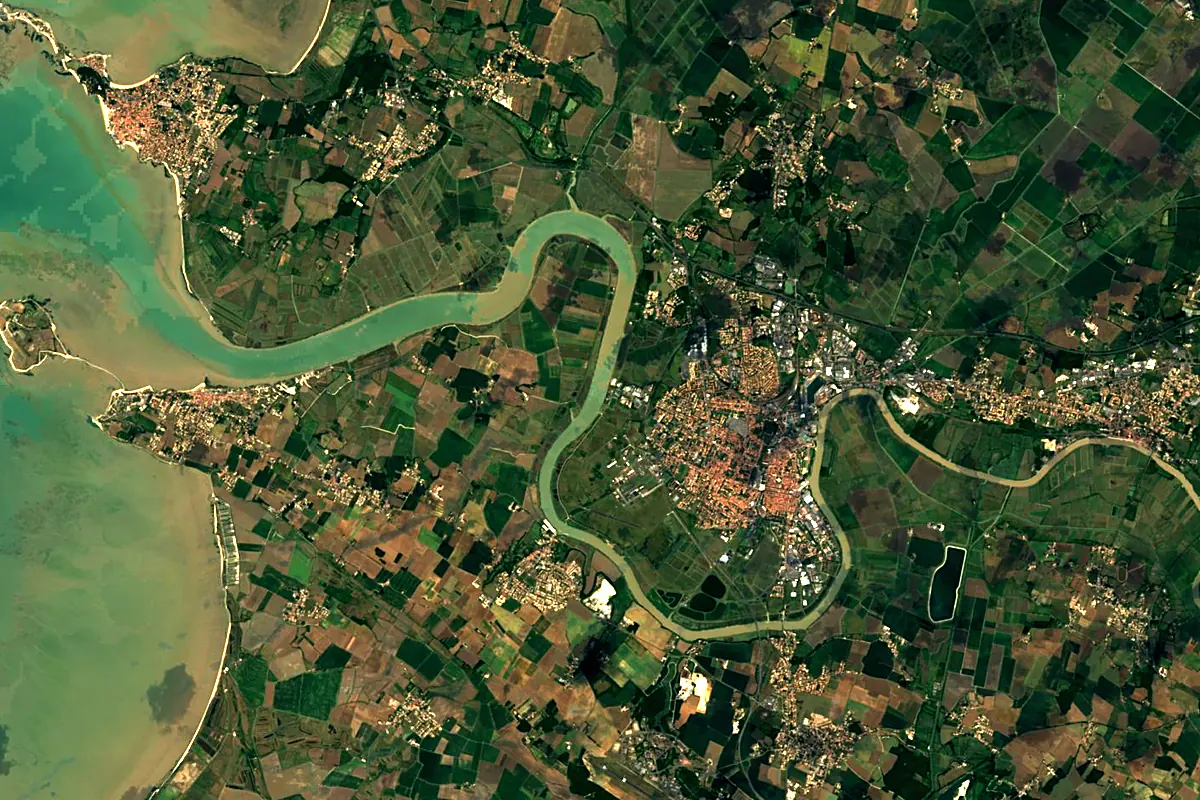
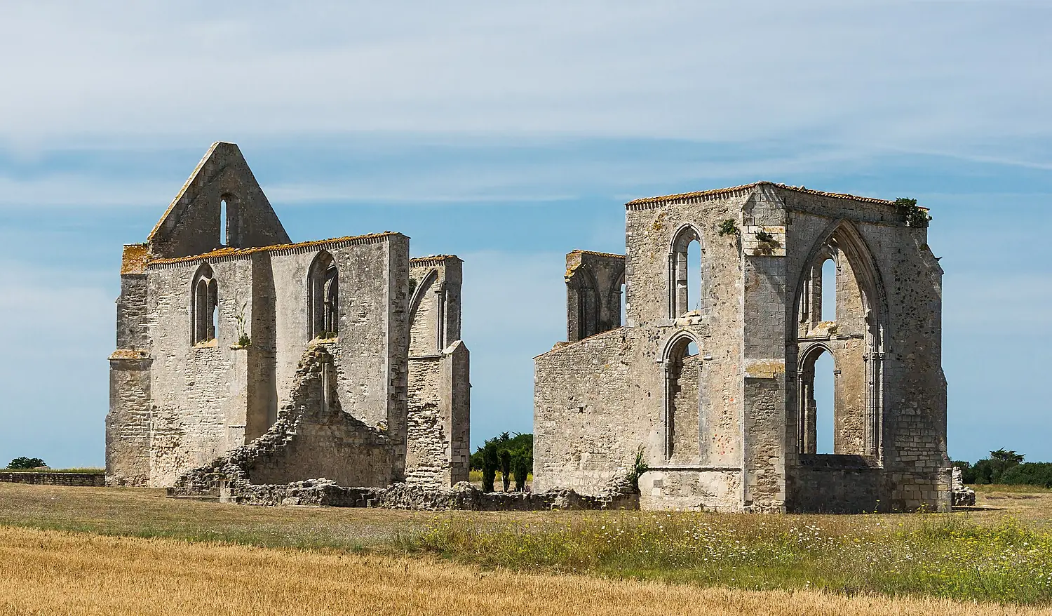
Sentinel-2 cloudless 2016 by EOX IT Services GmbH (contains modified Copernicus Sentinel data 2016), CC BY 4.0. The glowing line is the river as drawn by RiverATLAS.
Tributaries
Where it flows, and what flows into it
Tributaries (24)
Also: Boutonne, Seugne, Antenne, Bonnieure, Boëme, Né River, Arnoult, Touvre, Devise, Soloire, Argence, Charreau, Eaux Claires, Nouère, Argentor, Aume, Son-Sonnette, Moulde, Anguienne, Bramerit, Lizonne, Péruse, Transon, Bief
Nearby
Rivers nearby
France158 km44 m³/s41 km awayGaronneFrance647 km660 m³/s111 km awayDordogneFrance483 km450 m³/s109 km awayLoireFrance1,006 km840 m³/s167 km awayIsleFrance255 km63 m³/s129 km awayVienneFrance372 km210 m³/s163 km awayIndre RiverFrance280 km19 m³/s163 km awaySartheFrance314 km82 m³/s172 km awayWhere these numbers come from
| Name, length, places | Wikidata (Q123362) · CC0 |
|---|---|
| Course, profile, basin | RiverATLAS v1.0 (HydroATLAS, Linke et al. 2019) · CC BY 4.0 — followed along the river network from the point given by Wikidata |
| Flow | WaterGAP (RiverATLAS), 1971–2000 · CC BY 4.0 |
| Climate along the river | WorldClim (RiverATLAS), 1970–2000 · CC BY 4.0 |
| Towns, bridges, dams | Wikidata · CC0; GeoNames · CC BY 4.0 |
| Along the river | © OpenStreetMap contributors · ODbL |
| Images | EOX Sentinel-2 cloudless 2016 · CC BY 4.0; Wikimedia Commons |
| Our other atlases | Coastya, Peakyas, Islandyas — Wikidata · CC0; © OpenStreetMap contributors · ODbL; GeoNames · CC BY 4.0; HydroLAKES · CC BY 4.0; NOAA OISST |
Every source and licence is on the data sources page.
The family
Do you prefer beaches, lakes, mountains, waterfalls, islands, rivers or canyons?
Same idea, other landscapes: field atlases built on open data, month by month, in seven languages.
beaches Find your beach: sea temperature, sun and swimming month by month.Visit
  lakes
lakes Every lake on Earth: water temperature, ice, depth and the shore.Coming soonVisit mountains
 Every summit in 3D: summit weather, the 0 °C line, huts and trails.Visit
  waterfalls
 Every waterfall: height, flow month by month and when it roars.Coming soonVisit islands
 Every island from the sea up: size, sea temperature, ferries and 3D.Coming soonVisit
  rivers
 Every river from source to sea: the journey, the flow and the basin in numbers.You are here
 canyons
 Every canyon cut to scale: depth to the floor, rim and floor temperatures, trails and viewpoints.Coming soonVisit