River
Kama
1,805 km from source to mouth · Russia.
 RussiaFlows into Volga
In numbers
Length
1,805km
Average flow
4,100m³/s
Basin
507,000km²
Drop
254m
from 248 m to -6 m
Country
1
The journey
From source to mouth
1,805 km of river and 68 stops on the way: 17 towns and cities on its banks, dams, bridges and the tributaries that feed it.
- 0 kmSourceat 248 m
- 41 kmSardaytributary
- 67 kmSyovatributary
- 73 kmLytkatributary
- 91 kmTomyztributary
- 99 kmNirimtributary
- 109 kmNeopoltributary
- 117 kmVoktributary
- 117 kmKolychtributary
- 137 kmChustributary
- 138 kmChenegtributary
- 168 kmSyuzvatributary
- 206 kmLupyatributary
- 236 kmRytatributary
- 236 kmVolosnitsatributary
- 245 kmNyrmychtributary
- 258 kmKymtributary
- 292 kmImatributary
- 312 kmKuzhvatributary
- 323 kmPyelkatributary
- 343 kmPoryshtributary
- 361 kmSyoyvatributary
- 379 kmLiztributary
- 398 kmPyytributary
- 402 kmVestributary
- 402 kmVeslyanatributary
- 432 kmYazevkatributary
- 480 kmKosatributary
- 529 kmSouth Keltmatributary
- 532 kmPilvatributary
- 563 kmSumychtributary
- 581 kmBolshoy Kozyrtributary
- 587 kmUrolkatributary
- 623 kmVisheratributary
- 641 kmMoshevitsatributary
- 647 kmBorovayatributary
- 661 kmSolikamsk87,745 people
- 661 kmUsolkatributary
- 666 kmLysvatributary
- 688 kmBerezniki132,841 people
- 690 kmZyryankatributary
- 699 kmLyonvatributary
- 709 kmKondastributary
- 709 kmPoludenny Kondastributary
- 715 kmPoztributary
- 826 kmDobryanka28,545 people
- 871 kmChusovayatributary
- 876 kmOrdzhonikidzevsky City District113,867 people
- 876 kmKama Reservoir1,585 km²
- 878 kmGayvatributary
- 885 kmMotovilikhinsky City District184,724 people
- 888 kmBol'shaya Motovilikhatributary
- 889 kmPerm1,027,518 people
- 896 kmDzerzhinsky City District173,716 people
- 933 kmKrasnokamsk47,051 people
- 1,206 kmVotkinsk Reservoir842 km²
- 1,208 kmChaykovsky74,382 people
- 1,254 kmZabornoe0.5 km²
- 1,274 kmSarapul88,388 people
- 1,322 kmNeftekamsk133,874 people
- 1,345 kmOzero Ol'khovoye (lanaw sa Rusya, Udmurtskaya Respublika)0.6 km²
- 1,461 kmMendeleyevsk22,875 people
- 1,473 kmAvtozavodskiy Rayon189,000 people
- 1,477 kmNaberezhnye Chelny548,221 people
- 1,482 kmNizhnekamsk Reservoir738 km²
- 1,501 kmYelabuga73,759 people
- 1,509 kmOzero Rzhavets2.2 km²
- 1,515 kmNizhnekamsk240,842 people
- 1,622 kmChistopol57,844 people
- 1,805 kmVolgaat -6 m
Water level along the river (RiverATLAS; the height is exaggerated). Towns: GeoNames and Wikidata; bridges, dams and tributaries: Wikidata.
River in Russia, tributary to the Volga
At the mouth it carries 4,100 m³/s on average: 1.6 Olympic pools every second. It drops from 248 m to -6 m, 0.1 m per kilometre on average. Its basin covers 507,000 km², about the size of ES. 12.7 million people live in it. Highest water, with the snowmelt: from April to July; lowest: from December to March. Dams and reservoirs hold back a large share of its water (29% of a year's flow).
Where to start
- PermLargest city on its banks · 1,027,518 people
- Perm International Airport (PEE)Nearest airport with scheduled flights, 17 km from the city
- On the water94 ferry piers, marinas, boat rentals and boat ramps along the river (OpenStreetMap)
- From June to AugustThe best months to visit
Kama, month by month
Highest water: from April to July
Lowest water: from December to March. Freezing months (average below −4 °C): from November to March. Melting snow makes up much of its water. Best months to visit: from June to August.
From about 850 m³/s in the lowest month to 13,200 m³/s in the highest. An estimate: the monthly flow is modelled from the lowest and highest months of WaterGAP (RiverATLAS, 1971–2000) and the rain and snow along the river (WorldClim). Dams change the real rhythm. The chip is the average air temperature; below it, the month's rain.
Plan the trip
Plan the trip: boat trips, a bed by the river, a car
Some links above are affiliate links: if you book through them we may earn a commission, at no extra cost to you. It never changes what the data on this page says.
The basin
Kama: the basin in numbers
515,987 km² of land send their water to this river. This is what lives on it.
- 12.7millionpeople live in the basin
- 25/km²people per km²
- 235maverage altitude of the basin
- 604mmof rain a year (basin average)
- 1.8°Caverage air temperature
- 6%protected areas
- 0.9%covered by lakes
- 1%permafrost
- 37km³held in reservoirs
What covers the basin
- 62% Forest
- 24% Cropland
- 8% Pasture
- 1% Towns and cities
RiverATLAS (HydroATLAS v1.0, CC BY 4.0): land cover, people, protected areas, glaciers and dams over the whole basin upstream of the mouth.
Along the river
Kama: what you find on the way
- 6Weirs
- 24LocksLock Tschaikovsky, Nizhnekamsk lock and 22 more
- 4Waterfalls
- 9Boat ramps
- 52Ferry piers
- 31MarinasPristan' Chastyye and 30 more
- 17River beachesNudist beach, SunDale and 15 more
From OpenStreetMap, within 2.8 km of the river. Not mapped is not the same as not there.
Cross-checked with our atlases
Kama in our other atlases
What our sister atlases know about the waterfalls on this river, the lakes it flows through, the beaches at its mouth, the mountains where it rises and the islands off its mouth.
 6lakes on its wayLakeyas
Lakes and reservoirs (6)
Lakes it flows through, by Lakeyas
- Kama Reservoirkm 878 · 29 m deep1,585km²
- Votkinsk Reservoirkm 1,207 · 28 m deep842km²
- Zabornoekm 1,2560.5km²
- Ozero Ol'khovoye (lanaw sa Rusya, Udmurtskaya Respublika)km 1,3470.6km²
- Nizhnekamsk Reservoirkm 1,484 · 20 m deep738km²
- Ozero Rzhavetskm 1,5122.2km²
Lakeyas is coming soonOpen Lakeyas ↗
From space
The source and the mouth, seen from orbit
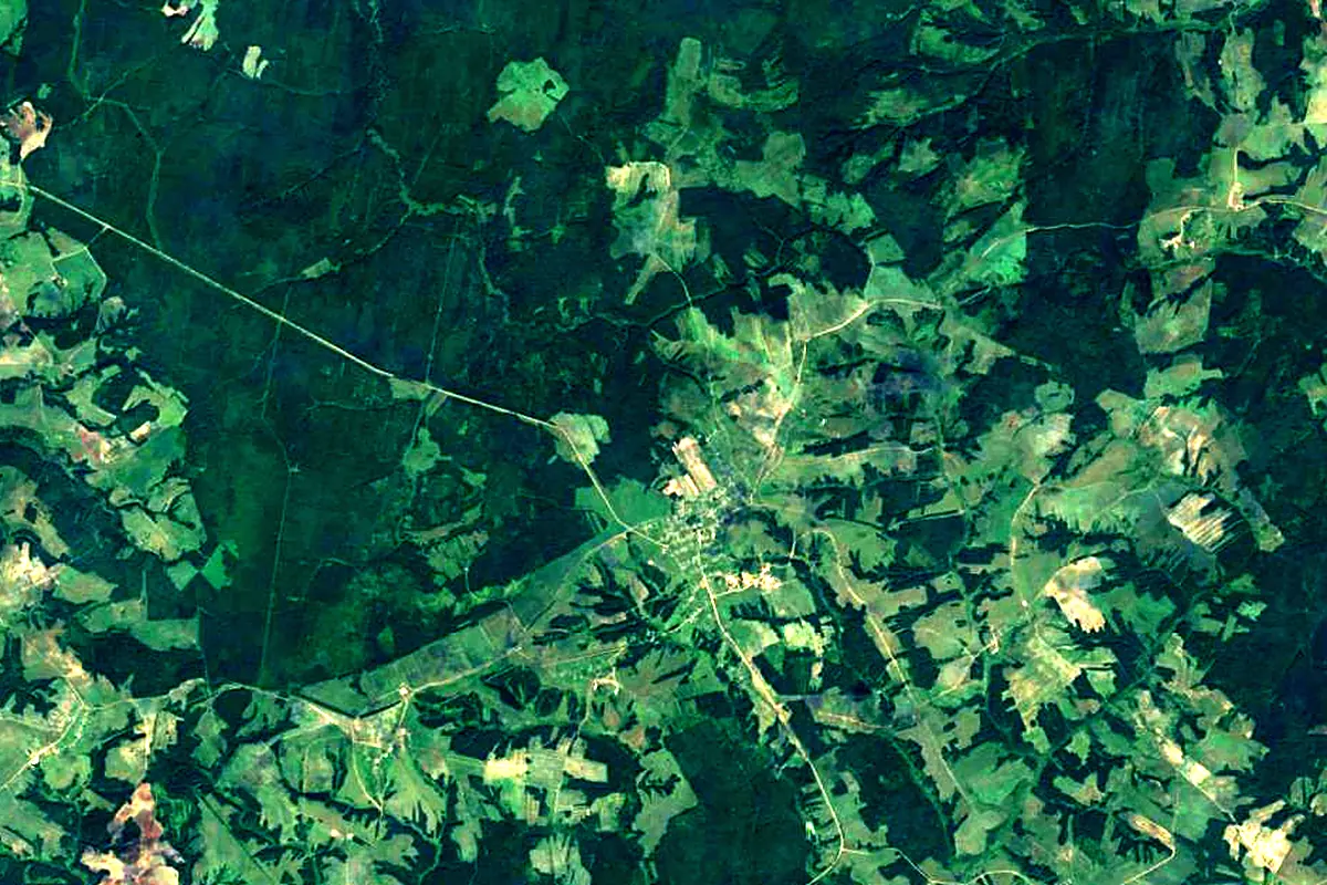
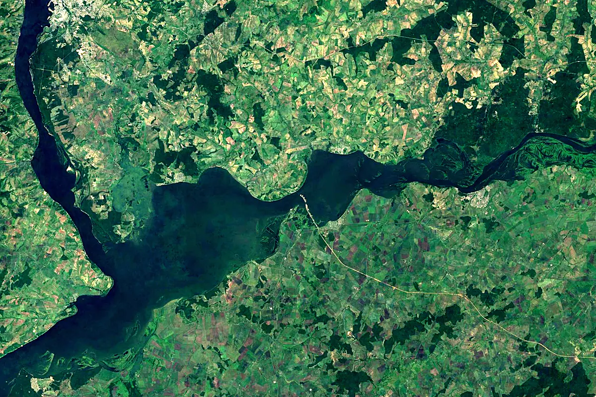
Sentinel-2 cloudless 2016 by EOX IT Services GmbH (contains modified Copernicus Sentinel data 2016), CC BY 4.0. The glowing line is the river as drawn by RiverATLAS.
Photos
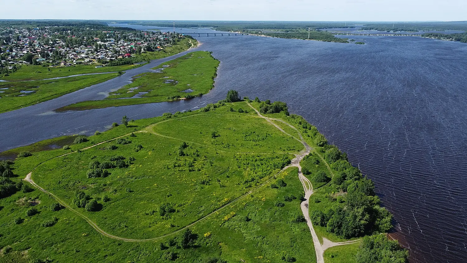
Kama in pictures
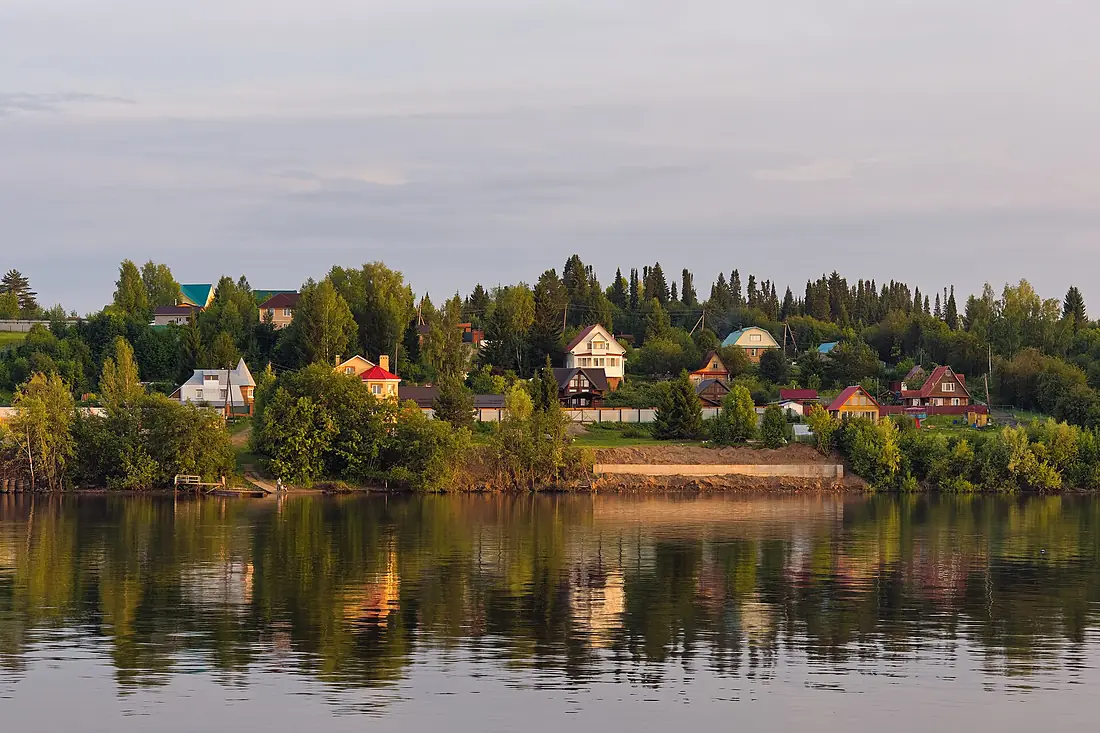
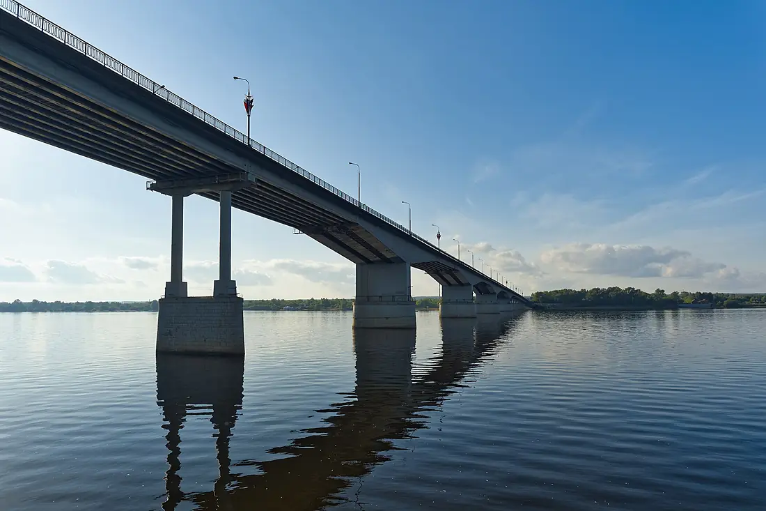
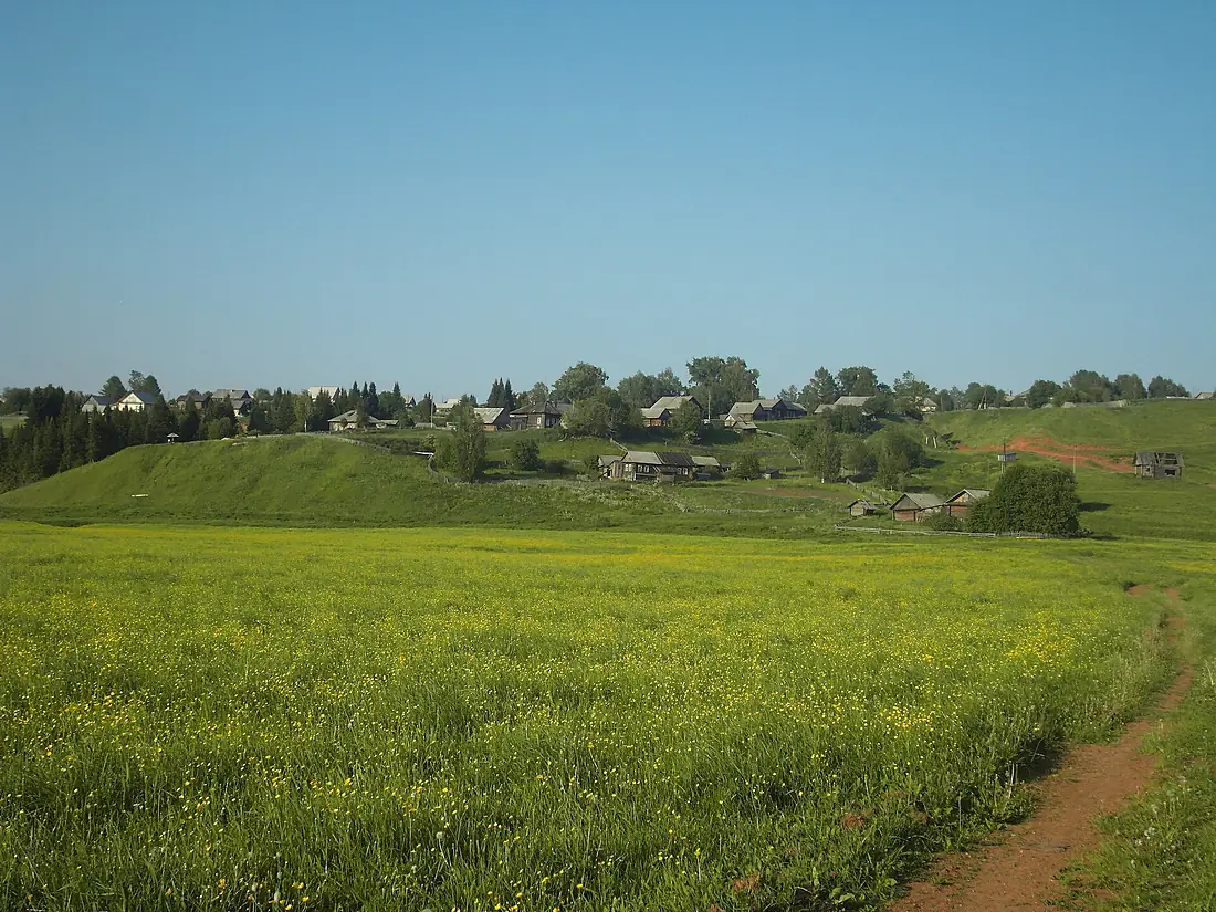
Tributaries
Where it flows, and what flows into it
It flows into
VolgaRussia3,530 km8,100 m³/sTributaries (143)
Russia1,430 km950 m³/sjoins at km 1,378VyatkaRussia1,314 km890 m³/sjoins at km 1,547ChusovayaRussia735 km220 m³/sjoins at km 873VisheraRussia415 km460 m³/sjoins at km 624Also: Ik, Izh, Mulyanka, Kosva, Zay, Kosa, Siva, Inva, Toyma, Myosha, Sheshma, Veslyana, South Keltma, Pilva, Yagoshikha, Usolka, Ochyor, Sholya, Bolshaya Sarapulka, Moshevitsa, Nyrmych, Parkachikha, Bolshaya Uzhuikha, Porysh
Nearby
Rivers nearby
Where these numbers come from
| Name, length, places | Wikidata (Q79082) · CC0 |
|---|---|
| Course, profile, basin | RiverATLAS v1.0 (HydroATLAS, Linke et al. 2019) · CC BY 4.0 — followed from the source to the mouth given by Wikidata |
| Flow | WaterGAP (RiverATLAS), 1971–2000 · CC BY 4.0 |
| Climate along the river | WorldClim (RiverATLAS), 1970–2000 · CC BY 4.0 |
| Towns, bridges, dams | Wikidata · CC0; GeoNames · CC BY 4.0 |
| Along the river | © OpenStreetMap contributors · ODbL |
| Images | EOX Sentinel-2 cloudless 2016 · CC BY 4.0; Wikimedia Commons |
| Our other atlases | Lakeyas — Wikidata · CC0; © OpenStreetMap contributors · ODbL; GeoNames · CC BY 4.0; HydroLAKES · CC BY 4.0; NOAA OISST |
Every source and licence is on the data sources page.
The family
Do you prefer beaches, lakes, mountains, waterfalls, islands, rivers or canyons?
Same idea, other landscapes: field atlases built on open data, month by month, in seven languages.
 beaches
 Find your beach: sea temperature, sun and swimming month by month.Visit lakes
 Every lake on Earth: water temperature, ice, depth and the shore.Coming soonVisit
  mountains
 Every summit in 3D: summit weather, the 0 °C line, huts and trails.Visit
  waterfalls
 Every waterfall: height, flow month by month and when it roars.Coming soonVisit
  islands
 Every island from the sea up: size, sea temperature, ferries and 3D.Coming soonVisit
  rivers
 Every river from source to sea: the journey, the flow and the basin in numbers.You are here
 canyons
 Every canyon cut to scale: depth to the floor, rim and floor temperatures, trails and viewpoints.Coming soonVisit