River
Volga
3,530 km from source to mouth · Russia.
 RussiaFlows into Caspian Sea4th longest in Russia
In numbers
Length
3,530km
Average flow
8,100m³/s
Basin
1,360,000km²
Drop
235m
from 204 m to -31 m
Country
1
The journey
From source to mouth
3,530 km of river and 68 stops on the way: 22 towns and cities on its banks, dams, bridges and the tributaries that feed it.
- 0 kmValdai Hillsat 204 m
- 27 kmKudtributary
- 36 kmVselug71 km²
- 37 kmZhukopatributary
- 61 kmKochatributary
- 78 kmVolgo74 km²
- 88 kmPesochnyatributary
- 99 kmSelizharovkatributary
- 110 kmBolshaya Koshatributary
- 112 kmMalaya Koshatributary
- 146 kmItomlyatributary
- 161 kmOrchatributary
- 164 kmTudovkatributary
- 185 kmSishkatributary
- 206 kmRzhev52,619 people
- 227 kmVazuza Reservoir61 km²
- 227 kmVazuzatributary
- 241 kmDyorzhatributary
- 286 kmNizhnyaya Staritsatributary
- 289 kmKholokholnyatributary
- 321 kmUlyusttributary
- 350 kmTmatributary
- 366 kmTmakatributary
- 366 kmTvertsatributary
- 366 kmTver412,806 people
- 385 kmOrshatributary
- 467 kmIvankovo Reservoir215 km²
- 469 kmDubna75,179 people
- 488 kmKimry38,441 people
- 494 kmKimrkatributary
- 521 kmMedveditsatributary
- 526 kmNerltributary
- 526 kmVolnushkatributary
- 543 kmKashinkatributary
- 550 kmZhabnyatributary
- 590 kmUglich Reservoir175 km²
- 606 kmKorozhechnatributary
- 621 kmYuhottributary
- 691 kmRybinsk Reservoir4,042 km²
- 700 kmRybinsk169,579 people
- 785 kmYaroslavl563,717 people
- 1,102 kmGorky Reservoir1,325 km²
- 1,124 kmPrud Gogres1.3 km²
- 1,156 kmNizhniy Novgorod1,259,013 people
- 1,156 kmNizhny Novgorod1,198,245 people
- 1,157 kmOzero Bezdennoye0.3 km²
- 1,158 kmBor77,024 people
- 1,188 kmOzero Vagan'kovo0.4 km²
- 1,405 kmCheboksary492,331 people
- 1,418 kmCheboksary Reservoir1,009 km²
- 1,419 kmNovocheboksarsk128,468 people
- 1,501 kmZelenodolsk98,791 people
- 1,532 kmKazan1,329,825 people
- 1,722 kmUlyanovsk612,516 people
- 1,850 kmTolyatti662,683 people
- 1,910 kmOzero Gryaznoye (lanaw sa Rusya, Samarskaya Oblast')0.8 km²
- 1,921 kmSamara1,154,223 people
- 1,923 kmOzero Peschanoye (lanaw sa Rusya, Samarskaya Oblast', lat 53,20, long 50,04)0.6 km²
- 2,168 kmSaratov Reservoir1,073 km²
- 2,169 kmBalakovo199,572 people
- 2,192 kmOzero Balbashev Prud0.4 km²
- 2,317 kmEngels196,011 people
- 2,319 kmSaratov838,042 people
- 2,513 kmKamyshin128,626 people
- 2,659 kmVolgograd Reservoir2,613 km²
- 2,676 kmVolgograd1,012,219 people
- 3,121 kmAstrakhan465,990 people
- 3,199 kmBolshaya Chada5.7 km²
- 3,227 kmCaspian Sea377,002 km²
- 3,530 kmCaspian Seaat -31 m
Water level along the river (RiverATLAS; the height is exaggerated). Towns: GeoNames and Wikidata; bridges, dams and tributaries: Wikidata.
River in Russia; the longest river in Europe
At the mouth it carries 8,060 m³/s on average: 3.2 Olympic pools every second. It drops from 204 m to -31 m, 0.1 m per kilometre on average. Its basin covers 1,360,000 km², about the size of PE. 60.0 million people live in it. Highest water, with the snowmelt: from April to July; lowest: from December to March. It is heavily dammed: reservoirs can hold 76% of a year's flow.
Where to start
- KazanLargest city on its banks · 1,329,825 people
- Kazan International Airport (KZN)Nearest airport with scheduled flights, 23 km from the city
- On the water605 ferry piers, marinas, boat rentals and boat ramps along the river (OpenStreetMap)
- From May to SeptemberThe best months to visit
Volga, month by month
Highest water: from April to July
Lowest water: from December to March. Freezing months (average below −4 °C): from December to February. Melting snow makes up much of its water. Best months to visit: from May to September.
From about 2,600 m³/s in the lowest month to 22,100 m³/s in the highest. An estimate: the monthly flow is modelled from the lowest and highest months of WaterGAP (RiverATLAS, 1971–2000) and the rain and snow along the river (WorldClim). Dams change the real rhythm. The chip is the average air temperature; below it, the month's rain.
Plan the trip
Plan the trip: boat trips, a bed by the river, a car
Some links above are affiliate links: if you book through them we may earn a commission, at no extra cost to you. It never changes what the data on this page says.
The basin
Volga: the basin in numbers
1,404,107 km² of land send their water to this river. This is what lives on it.
- 60.0millionpeople live in the basin
- 44/km²people per km²
- 177maverage altitude of the basin
- 575mmof rain a year (basin average)
- 3.4°Caverage air temperature
- 7%protected areas
- 1.8%covered by lakes
- 196km³held in reservoirs
What covers the basin
- 47% Forest
- 30% Cropland
- 13% Pasture
- 2% Towns and cities
RiverATLAS (HydroATLAS v1.0, CC BY 4.0): land cover, people, protected areas, glaciers and dams over the whole basin upstream of the mouth.
Along the river
Volga: what you find on the way
- 18Weirs
- 60LocksLock №1 of the Moscow Canal, Uglich lock, Lock №11 and 57 more
- 10Waterfalls
- 82Boat ramps
- 302Ferry piersYaroslavl, Pier №2, Pier №3 and 299 more
- 203Marinas"Mayak" yacht club, Edelweiss and 201 more
- 47River beaches
From OpenStreetMap, within 3.1 km of the river. Not mapped is not the same as not there.
Cross-checked with our atlases
Volga in our other atlases
What our sister atlases know about the waterfalls on this river, the lakes it flows through, the beaches at its mouth, the mountains where it rises and the islands off its mouth.
 18lakes on its wayLakeyas
 1mountain at the sourcePeakyas
 1island off the mouthIslandyas
Lakes and reservoirs (18)
Lakes it flows through, by Lakeyas
- Ivankovo Reservoirkm 482 · 19 m deep215km²
- Uglich Reservoirkm 609 · 23 m deep175km²
- Rybinsk Reservoirkm 714 · 28 m deep4,042km²
- Gorky Reservoirkm 1,139 · 55 m deep1,325km²
- Cheboksary Reservoirkm 1,464 · 35 m deep1,009km²
- Saratov Reservoirkm 2,2391,073km²
- Volgograd Reservoirkm 2,746 · 10 m deep2,613km²
- Caspian Seakm 3,333 · 1,025 m deep377,002km²
10 more on LakeyasLakeyas is coming soonOpen Lakeyas ↗
Mountains at the source (1)
Within 15 km of the source, by Peakyas
- Gora Kamennik8.2 km away
Islands off the mouth (1)
Within 30 km of the mouth, by Islandyas
- Zyudev Island19 km away84km²
Islandyas is coming soonOpen Islandyas ↗
From space
The source and the mouth, seen from orbit
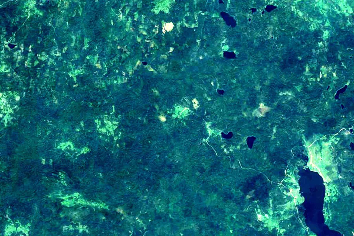
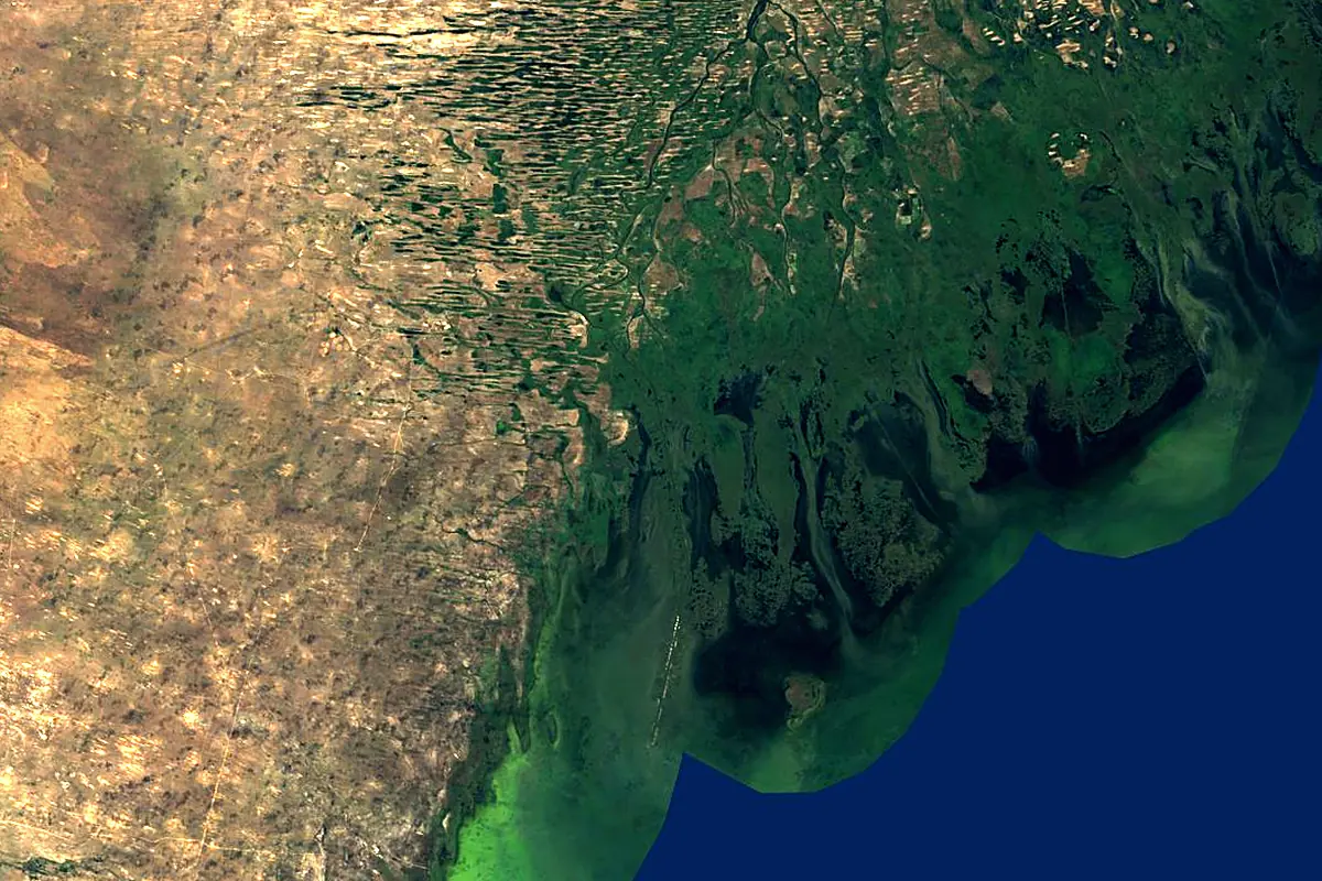
Sentinel-2 cloudless 2016 by EOX IT Services GmbH (contains modified Copernicus Sentinel data 2016), CC BY 4.0. The glowing line is the river as drawn by RiverATLAS.
Photos
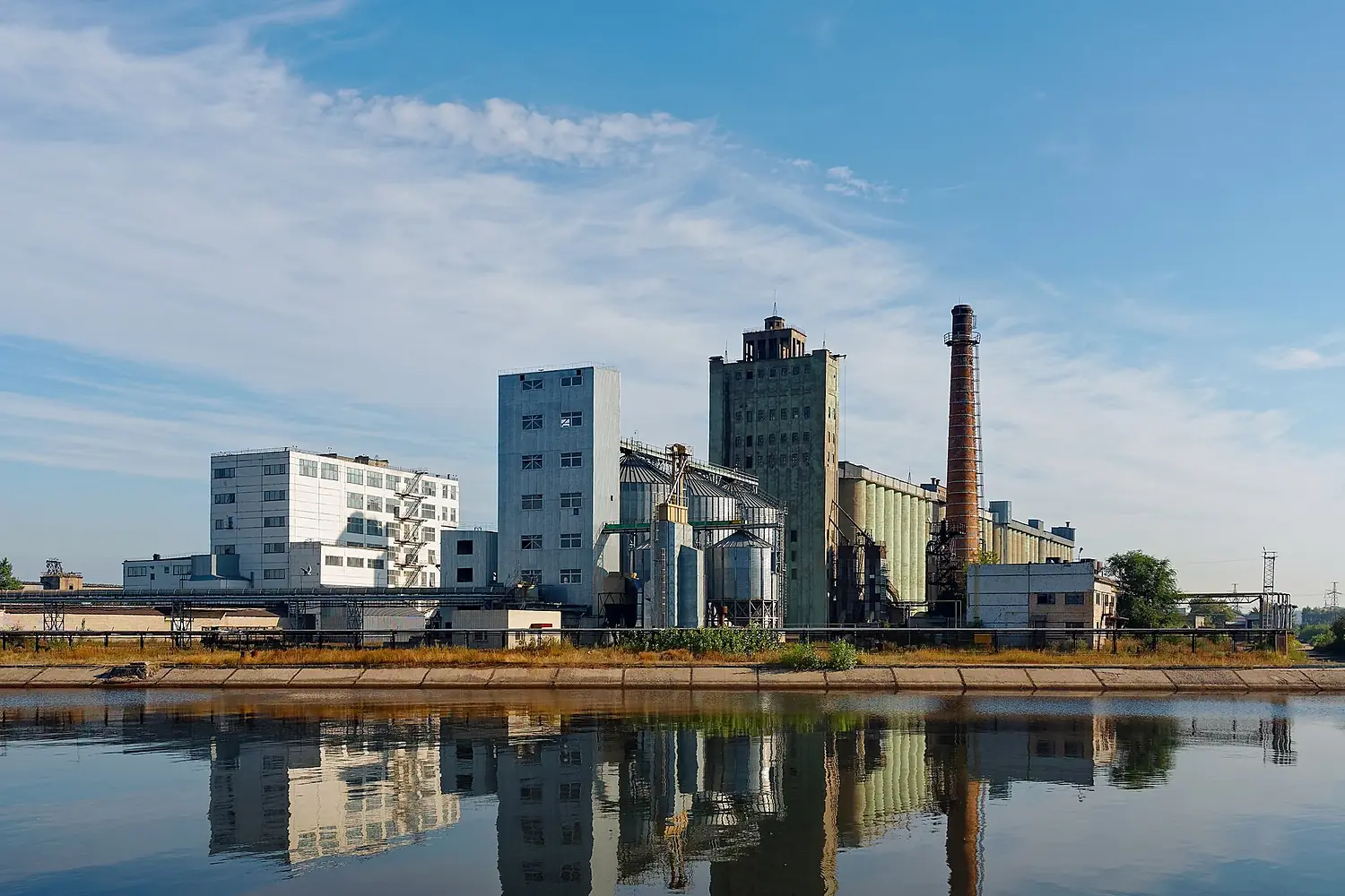
Volga in pictures
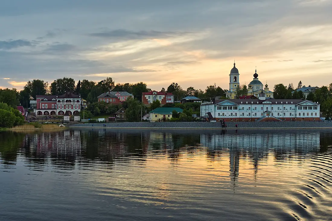
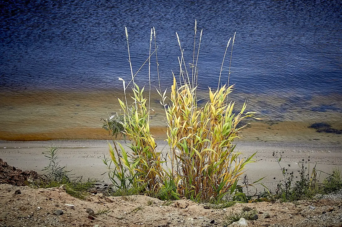
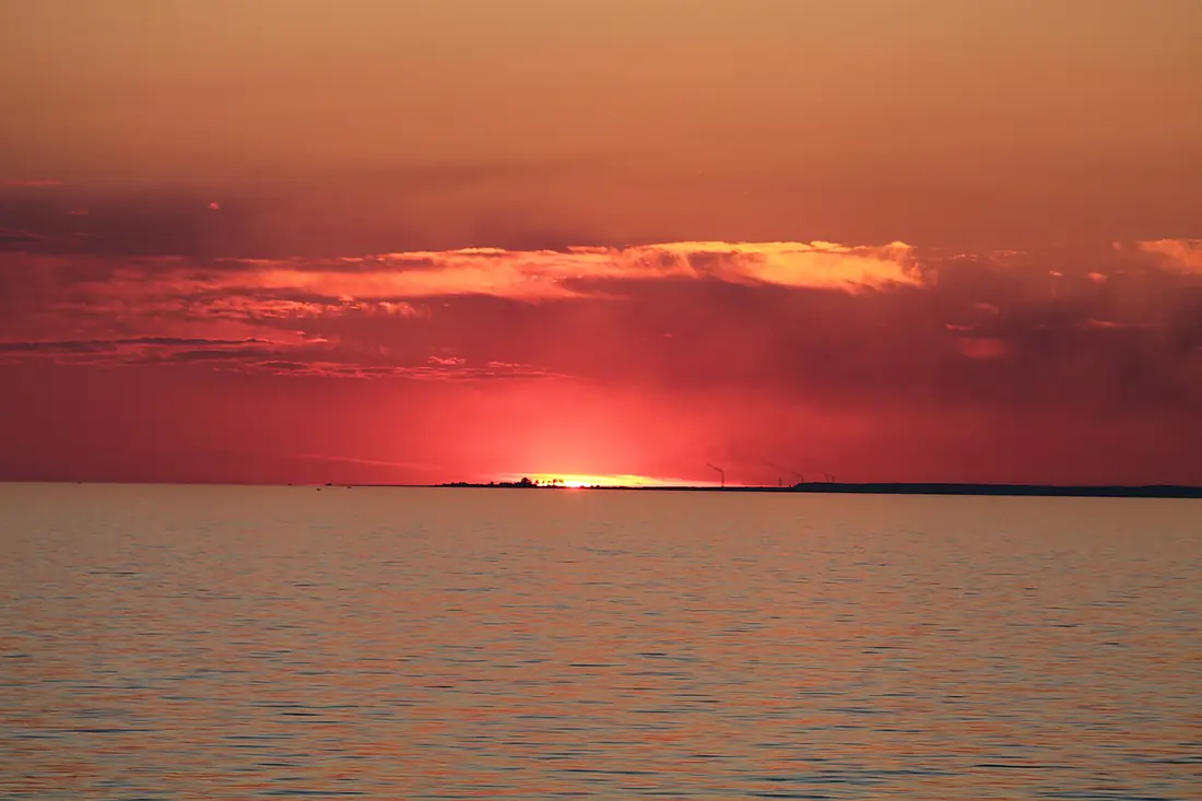
Tributaries
Where it flows, and what flows into it
Tributaries (134)
Russia1,805 km4,100 m³/sOkaRussia1,500 km1,300 m³/sjoins at km 1,193VetlugaRussia889 km260 m³/sSuraRussia841 km260 m³/sjoins at km 1,353SamaraRussia594 km50 m³/sjoins at km 1,988MologaRussia456 km170 m³/sAlso: Kostroma, Kazanka, Sviyaga, Sheksna, Tvertsa, Unzha, Kerzhenets, Sok, Bolshaya Kokshaga, Vazuza, Shosha, Dubna, Kotorosl, Medveditsa, Maly Irgiz, Selizharovka, Nerl, Kudma, Chapaevka, Kashinka, Tsivil, Uzola, Sit, Nyomda
Nearby
Rivers nearby
Russia623 km300 m³/s221 km awayUral River Kazakhstan2,428 km400 m³/s335 km awayMaly UzenKazakhstan638 km8.5 m³/s399 km awayBig UzenKazakhstan650 km34 m³/s409 km awayEmba RiverKazakhstan712 km18 m³/s435 km awayAragvi River
 Georgia112 km33 m³/s482 km awayKsaniGeorgia84 km15 m³/s486 km awayUil RiverKazakhstan800 km2.0 m³/s489 km away
Where these numbers come from
| Name, length, places | Wikidata (Q626) · CC0 |
|---|---|
| Course, profile, basin | RiverATLAS v1.0 (HydroATLAS, Linke et al. 2019) · CC BY 4.0 — followed from the source to the mouth given by Wikidata |
| Flow | WaterGAP (RiverATLAS), 1971–2000 · CC BY 4.0 |
| Climate along the river | WorldClim (RiverATLAS), 1970–2000 · CC BY 4.0 |
| Towns, bridges, dams | Wikidata · CC0; GeoNames · CC BY 4.0 |
| Along the river | © OpenStreetMap contributors · ODbL |
| Images | EOX Sentinel-2 cloudless 2016 · CC BY 4.0; Wikimedia Commons |
| Our other atlases | Lakeyas, Peakyas, Islandyas — Wikidata · CC0; © OpenStreetMap contributors · ODbL; GeoNames · CC BY 4.0; HydroLAKES · CC BY 4.0; NOAA OISST |
Every source and licence is on the data sources page.
The family
Do you prefer beaches, lakes, mountains, waterfalls, islands, rivers or canyons?
Same idea, other landscapes: field atlases built on open data, month by month, in seven languages.
 beaches
 Find your beach: sea temperature, sun and swimming month by month.Visit lakes
 Every lake on Earth: water temperature, ice, depth and the shore.Coming soonVisit mountains
 Every summit in 3D: summit weather, the 0 °C line, huts and trails.Visit
  waterfalls
 Every waterfall: height, flow month by month and when it roars.Coming soonVisit islands
 Every island from the sea up: size, sea temperature, ferries and 3D.Coming soonVisit
  rivers
 Every river from source to sea: the journey, the flow and the basin in numbers.You are here
 canyons
 Every canyon cut to scale: depth to the floor, rim and floor temperatures, trails and viewpoints.Coming soonVisit