River
Nalón
153 km from source to mouth · Spain.
 SpainFlows into Ria de San Esteban de Pravia
In numbers
Length
153km
Average flow
55m³/s
Basin
4,907km²
Drop
528m
from 527 m to -1 m
Country
1
The journey
From source to mouth
153 km of river and 68 stops on the way: 62 towns and cities on its banks, dams, bridges and the tributaries that feed it.
- 0 kmPuerto de Tarnaat 527 m
- 0 kmSobrecastiellu337 people
- 7 kmEl Campu291 people
- 7 kmCampo de Caso2,071 people
- 13 kmCoballes74 people
- 17 kmTañes163 people
- 20 kmTanes Reservoir0.7 km²
- 25 kmOviñana552 people
- 32 kmEl Condao507 people
- 34 kmLlorío605 people
- 38 kmEntrialgo210 people
- 39 kmLa Pola Llaviana8,357 people
- 40 kmPola de Laviana9,106 people
- 41 kmCarrio113 people
- 42 kmTiraña1,523 people
- 46 kmBlimea2,932 people
- 48 kmSamartín3,471 people
- 48 kmSamartín del Rei Aurelio15,531 people
- 51 kmSan Andrés de Llinares7,928 people
- 52 kmL'Entregu/El Entrego7,400 people
- 57 kmSama39,984 people
- 59 kmLa Felguera21,000 people
- 60 kmLada3,000 people
- 65 kmRiañu366 people
- 71 kmVeguín664 people
- 73 kmNaves107 people
- 76 kmTudela Agüeria563 people
- 78 kmSantolaya221 people
- 79 kmOlloniego916 people
- 83 kmPerera345 people
- 84 kmTeyego211 people
- 85 kmCaudaltributary
- 86 kmSoto Ribera365 people
- 86 kmFerreros775 people
- 91 kmPalombar158 people
- 91 kmAlfilorios reservoir0.3 km²
- 93 kmPuerto187 people
- 95 kmCaces284 people
- 95 kmPriorio367 people
- 96 kmSograndio382 people
- 99 kmGodos546 people
- 99 kmTrubia1,855 people
- 103 kmNoratributary
- 103 kmSan Pedru Nora103 people
- 105 kmBerció99 people
- 109 kmL'Escampleru650 people
- 113 kmValdunu269 people
- 119 kmPeñaflor225 people
- 120 kmGrado9,839 people
- 122 kmCuero168 people
- 123 kmPrahúa78 people
- 125 kmMurias236 people
- 125 kmCubiatributary
- 127 kmGrullos193 people
- 128 kmAces73 people
- 129 kmEl Valle126 people
- 129 kmSan Román276 people
- 131 kmSan Tirso123 people
- 132 kmFenolleda191 people
- 133 kmQuinzanas84 people
- 135 kmPronga46 people
- 136 kmNarceatributary
- 139 kmPravia5,879 people
- 143 kmRiberas322 people
- 147 kmSoto del Barco1,473 people
- 151 kmMuros de Nalón1,496 people
- 151 kmSan Esteban446 people
- 151 kmRanón1,589 people
- 152 kmSan Juan de la Arena1,445 people
- 153 kmRia de San Esteban de Praviaat -1 m
Water level along the river (RiverATLAS; the height is exaggerated). Towns: GeoNames and Wikidata; bridges, dams and tributaries: Wikidata.
River in Spain
At the mouth it carries 55 m³/s on average: an Olympic pool every 45 seconds. It drops from 527 m to -1 m, 3.5 m per kilometre on average. Its basin covers 4,907 km², about the size of TT. 503,000 people live in it. Highest water: from November to December; lowest: from July to August. No large dam holds it back: it is one of the world's free-flowing rivers.
Where to start
- SamaLargest city on its banks · 39,984 people
- Asturias Airport (OVD)Nearest airport with scheduled flights, 41 km from the cityCar hire at OVD airport (Ranón)Discover Cars · Affiliate link↗
- On the water6 ferry piers, marinas, boat rentals and boat ramps along the river (OpenStreetMap)
- From May to SeptemberThe best months to visit
Nalón, month by month
Highest water: from November to December
Lowest water: from July to August. Best months to visit: from May to September.
From about 28 m³/s in the lowest month to 210 m³/s in the highest. An estimate: the monthly flow is modelled from the lowest and highest months of WaterGAP (RiverATLAS, 1971–2000) and the rain and snow along the river (WorldClim). Dams change the real rhythm. The chip is the average air temperature; below it, the month's rain.
Plan the trip
Plan the trip: boat trips, a bed by the river, a car
Some links above are affiliate links: if you book through them we may earn a commission, at no extra cost to you. It never changes what the data on this page says.
The basin
Nalón: the basin in numbers
4,906 km² of land send their water to this river. This is what lives on it.
- 503,000people live in the basin
- 102/km²people per km²
- 782maverage altitude of the basin
- 897mmof rain a year (basin average)
- 10.6°Caverage air temperature
- 33%protected areas
- 0.0km³held in reservoirs
What covers the basin
- 79% Forest
- 4% Cropland
- 30% Pasture
- 5% Towns and cities
RiverATLAS (HydroATLAS v1.0, CC BY 4.0): land cover, people, protected areas, glaciers and dams over the whole basin upstream of the mouth.
Along the river
Nalón: what you find on the way
- 47Weirs
- 5Boat ramps
- 1Marinas
- 8River beachesPlaya de La Coaña, Playas de Xan-Xún y Las Llanas, Playa de Cazonera and 5 more
From OpenStreetMap, within 1.6 km of the river. Not mapped is not the same as not there.
Cross-checked with our atlases
Nalón in our other atlases
What our sister atlases know about the waterfalls on this river, the lakes it flows through, the beaches at its mouth, the mountains where it rises and the islands off its mouth.
 2lakes on its wayLakeyas
 9beaches at the mouth and on the banksCoastya
 5mountains at the sourcePeakyas
 2islands off the mouthIslandyas
Lakes and reservoirs (2)
Lakes it flows through, by Lakeyas
- Tanes Reservoirkm 140.7km²
- Alfilorios reservoirkm 660.3km²
Lakeyas is coming soonOpen Lakeyas ↗
Beaches (9)
At the mouth (25 km) and on the banks, by Coastya
- Playa del Espartal10 km away20.5°C
- Playa Llodero13 km away20.5°C
- Playa de los Quebrantoskm 11120.3°C
- Playón de Bayas2.9 km away20.3°C
- Playa de Aguilar3.4 km away20.3°C
- Playa de San Pedro12 km away20.3°C
- Ensenada de Santa María del Mar6.6 km away · cove20.5°C
- Ensenada de Bañugues23 km away · cove20.5°C
1 more on CoastyaOpen Coastya ↗
Mountains at the source (5)
Within 15 km of the source, by Peakyas
- Tiatordos9.8 km away1,950m
- Peña Ten6.1 km away
- Sierra de Sentiles14 km away
- Mampodre6.3 km away
- Sierra de Corteguero14 km away
Islands off the mouth (2)
Within 30 km of the mouth, by Islandyas
- Isla Herbosa, Asturias20 km away
- Isla La Deva y el Playón de Bayas4.5 km away0.8km²
Islandyas is coming soonOpen Islandyas ↗
From space
The source and the mouth, seen from orbit
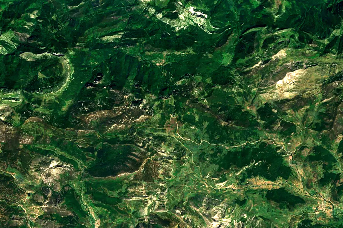
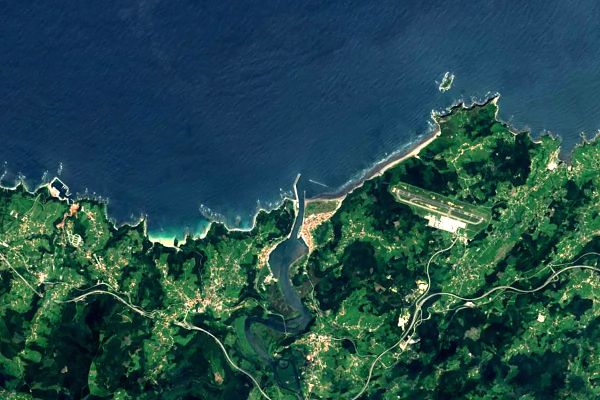
Sentinel-2 cloudless 2016 by EOX IT Services GmbH (contains modified Copernicus Sentinel data 2016), CC BY 4.0. The glowing line is the river as drawn by RiverATLAS.
Photos
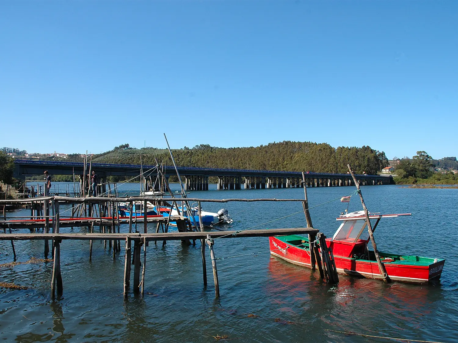
Nalón in pictures
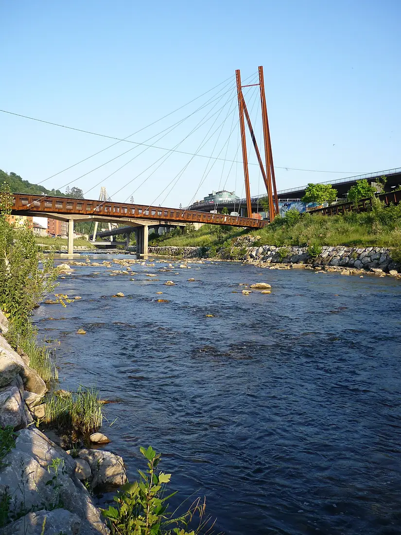
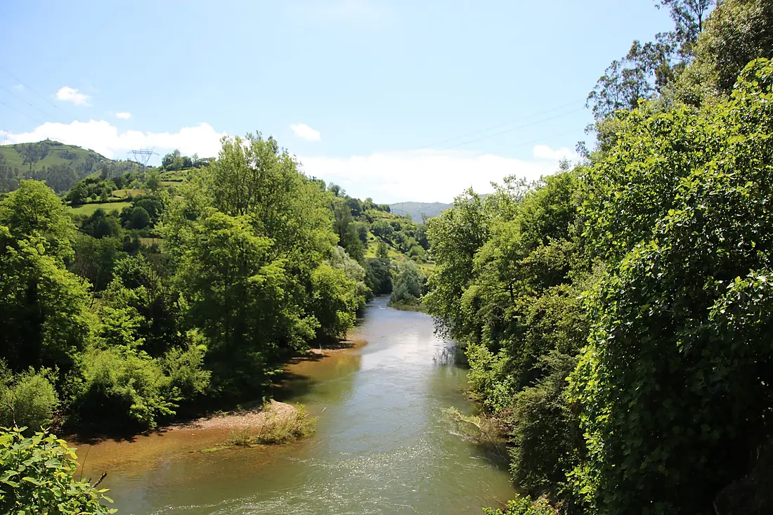
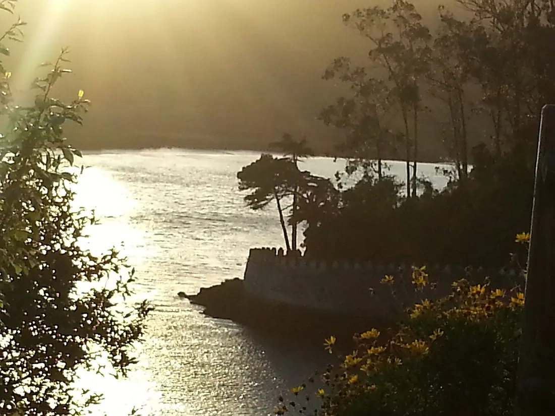
Tributaries
Where it flows, and what flows into it
Tributaries (9)
Also: Narcea, Nora, Caudal, Cubia, Trubia, Candín, Orlé, Caleao, Sama
Nearby
Rivers nearby
Spain160 km63 m³/s52 km awaySilisSpain228 km240 m³/s183 km awayCarrión RiverSpain179 km21 m³/s184 km awayEslaSpain285 km140 m³/s232 km awayPisuerga RiverSpain283 km110 m³/s247 km awayTormesSpain284 km42 m³/s255 km awayMinho River Portugal315 km340 m³/s286 km awayNerviónSpain76 km9.6 m³/s248 km away
Where these numbers come from
| Name, length, places | Wikidata (Q14516) · CC0 |
|---|---|
| Course, profile, basin | RiverATLAS v1.0 (HydroATLAS, Linke et al. 2019) · CC BY 4.0 — followed from the source to the mouth given by Wikidata |
| Flow | WaterGAP (RiverATLAS), 1971–2000 · CC BY 4.0 |
| Climate along the river | WorldClim (RiverATLAS), 1970–2000 · CC BY 4.0 |
| Towns, bridges, dams | Wikidata · CC0; GeoNames · CC BY 4.0 |
| Along the river | © OpenStreetMap contributors · ODbL |
| Images | EOX Sentinel-2 cloudless 2016 · CC BY 4.0; Wikimedia Commons |
| Our other atlases | Lakeyas, Coastya, Peakyas, Islandyas — Wikidata · CC0; © OpenStreetMap contributors · ODbL; GeoNames · CC BY 4.0; HydroLAKES · CC BY 4.0; NOAA OISST |
Every source and licence is on the data sources page.
The family
Do you prefer beaches, lakes, mountains, waterfalls, islands, rivers or canyons?
Same idea, other landscapes: field atlases built on open data, month by month, in seven languages.
beaches Find your beach: sea temperature, sun and swimming month by month.Visit lakes
 Every lake on Earth: water temperature, ice, depth and the shore.Coming soonVisit mountains
 Every summit in 3D: summit weather, the 0 °C line, huts and trails.Visit
  waterfalls
 Every waterfall: height, flow month by month and when it roars.Coming soonVisit islands
 Every island from the sea up: size, sea temperature, ferries and 3D.Coming soonVisit
  rivers
 Every river from source to sea: the journey, the flow and the basin in numbers.You are here
 canyons
 Every canyon cut to scale: depth to the floor, rim and floor temperatures, trails and viewpoints.Coming soonVisit