River
Ourthe
165 km from source to mouth · Belgium.
 BelgiumFlows into Meuse3rd longest in Belgium
In numbers
Length
165km
Average flow
55m³/s
Basin
3,624km²
Drop
311m
from 376 m to 65 m
Country
1
The journey
From source to mouth
165 km of river and 41 stops on the way: 27 towns and cities on its banks, dams, bridges and the tributaries that feed it.
- 0 kmWestern Ourtheat 376 m
- 0 kmSainte-Ode2,310 people
- 9 kmTenneville2,510 people
- 48 kmLa Roche-en-Ardenne4,200 people
- 61 kmRendeux2,320 people
- 70 kmHotton4,969 people
- 82 kmNoiseux1,197 people
- 88 kmGrandhan1,593 people
- 90 kmMarchettetributary
- 95 kmDurbuy10,251 people
- 99 kmTohogne1,460 people
- 101 kmBarvaux2,930 people
- 105 kmBomal1,436 people
- 106 kmAisnetributary
- 115 kmHamoir3,500 people
- 118 kmNéblontributary
- 119 kmComblain-Fairon1,738 people
- 122 kmComblain-la-Tour Bridge
- 126 kmComblain-au-Pont5,308 people
- 131 kmAmblèvetributary
- 134 kmPoulseur1,827 people
- 139 kmEsneux12,889 people
- 140 kmMagréetributary
- 142 kmPlainevaux2,508 people
- 143 kmRoche aux Faucons
- 143 kmBoncelles5,578 people
- 151 kmTilff5,455 people
- 155 kmChaudfontaine20,935 people
- 159 kmEmbourg6,124 people
- 160 kmVaux-sous-Chèvremont6,503 people
- 161 kmRailway bridge over the canal Ourthe
- 161 kmRue Denis Lecocq Bridge
- 161 kmChênée9,163 people
- 161 kmVesdretributary
- 161 kmAngleur10,647 people
- 162 kmGrivegnée21,057 people
- 163 kmPont de Belle-Île
- 163 kmLiège195,278 people
- 163 kmBressoux12,588 people
- 164 kmPont de Namur
- 165 kmPont de Fétinne
- 165 kmPont Gramme
- 165 kmMeuseat 65 m
Water level along the river (RiverATLAS; the height is exaggerated). Towns: GeoNames and Wikidata; bridges, dams and tributaries: Wikidata.
River in Belgium
At the mouth it carries 55 m³/s on average: an Olympic pool every 45 seconds. It drops from 376 m to 65 m, 1.9 m per kilometre on average. Its basin covers 3,624 km², about the size of CV. 466,000 people live in it. Highest water: from November to January. Its dams hold back little of its water (4.5% of a year's flow).
Where to start
- LiègeLargest city on its banks · 195,278 people
- Liège Airport (LGG)Nearest airport with scheduled flights, 9 km from the cityCar hire at LGG airport (Grâce-Hollogne)Discover Cars · Affiliate link↗
- On the water16 ferry piers, marinas, boat rentals and boat ramps along the river (OpenStreetMap)
- Kayak and canoe2 put-ins and rapids mapped (OpenStreetMap)
- From June to SeptemberThe best months to visit
Ourthe, month by month
Highest water: from November to January
Best months to visit: from June to September.
From about 17 m³/s in the lowest month to 76 m³/s in the highest. An estimate: the monthly flow is modelled from the lowest and highest months of WaterGAP (RiverATLAS, 1971–2000) and the rain and snow along the river (WorldClim). Dams change the real rhythm. The chip is the average air temperature; below it, the month's rain.
Plan the trip
Plan the trip: boat trips, a bed by the river, a car
Some links above are affiliate links: if you book through them we may earn a commission, at no extra cost to you. It never changes what the data on this page says.
The basin
Ourthe: the basin in numbers
3,602 km² of land send their water to this river. This is what lives on it.
- 466,000people live in the basin
- 129/km²people per km²
- 389maverage altitude of the basin
- 1,030mmof rain a year (basin average)
- 8.2°Caverage air temperature
- 33%protected areas
- 0.1%covered by lakes
- 0.1km³held in reservoirs
What covers the basin
- 50% Forest
- 10% Cropland
- 24% Pasture
- 7% Towns and cities
RiverATLAS (HydroATLAS v1.0, CC BY 4.0): land cover, people, protected areas, glaciers and dams over the whole basin upstream of the mouth.
Along the river
Ourthe: what you find on the way
- 45WeirsBarrage mobil Inzès Prés, Barrage fixe and 43 more
- 11LocksEcluse n°16, Ecluse n°15, Ecluse n°4 and 8 more
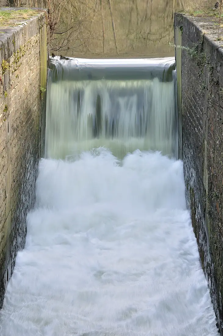
- 12WaterfallsCascade de Chanxhe #1, Cascade de Chanxhe #2 and 10 more
- 2Canoe put-ins
- 6Boat ramps
- 3Ferry piersPôle fluvial, Fragnée, Guillemins / Boverie
- 2MarinasPort des Yachts - Port autonome de Liège, Port de Marcatchous - Port autonome de Liège
- 3River beachesPlage de Maboge, Plage de Hotton
From OpenStreetMap, within 1.5 km of the river. Not mapped is not the same as not there.
From space
The source and the mouth, seen from orbit
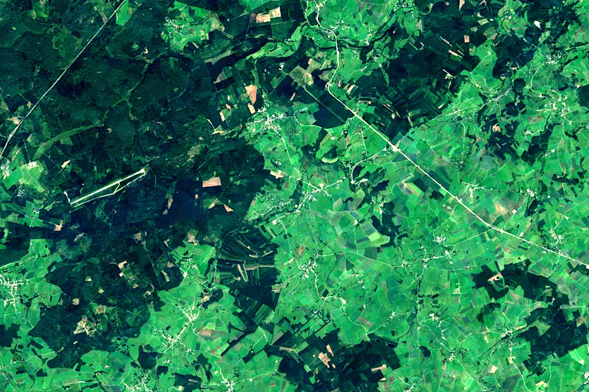
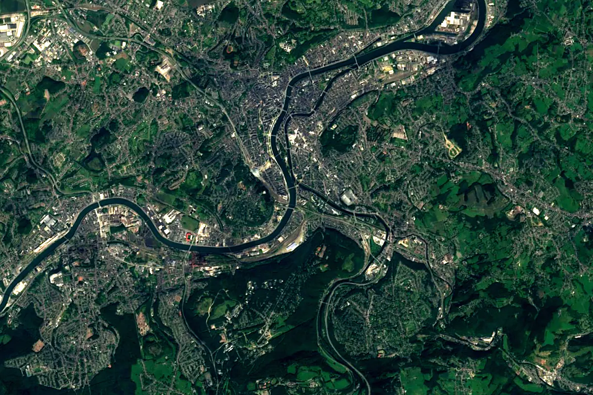
Sentinel-2 cloudless 2016 by EOX IT Services GmbH (contains modified Copernicus Sentinel data 2016), CC BY 4.0. The glowing line is the river as drawn by RiverATLAS.
Tributaries
Where it flows, and what flows into it
It flows into
Meuse The Netherlands950 km230 m³/s
Tributaries (18)
Also: Vesdre, Néblon, Aisne, Lembrée, Magrée, Marchette, Chawresse, Western Ourthe, Eastern Ourthe, Boé, Isbelle, Bloquay, Bronze, Haze, Nanchenioule, Ruisseau de Gobry, Blanc Gravier
Nearby
Rivers nearby
Belgium93 km20 m³/s13 km awaySambreBelgium190 km36 m³/s53 km awayRurThe Netherlands164 km25 m³/s75 km awayLahn Germany242 km54 m³/s108 km awayRhineThe Netherlands1,233 km2,200 m³/s179 km awayRuhrGermany217 km79 m³/s123 km awayMoselleGermany544 km320 m³/s146 km awaySemois
 France210 km35 m³/s101 km away
Where these numbers come from
| Name, length, places | Wikidata (Q160698) · CC0 |
|---|---|
| Course, profile, basin | RiverATLAS v1.0 (HydroATLAS, Linke et al. 2019) · CC BY 4.0 — followed along the river network from the point given by Wikidata |
| Flow | WaterGAP (RiverATLAS), 1971–2000 · CC BY 4.0 |
| Climate along the river | WorldClim (RiverATLAS), 1970–2000 · CC BY 4.0 |
| Towns, bridges, dams | Wikidata · CC0; GeoNames · CC BY 4.0 |
| Along the river | © OpenStreetMap contributors · ODbL |
| Images | EOX Sentinel-2 cloudless 2016 · CC BY 4.0; Wikimedia Commons |
Every source and licence is on the data sources page.
The family
Do you prefer beaches, lakes, mountains, waterfalls, islands, rivers or canyons?
Same idea, other landscapes: field atlases built on open data, month by month, in seven languages.
 beaches
 Find your beach: sea temperature, sun and swimming month by month.Visit
  lakes
lakes Every lake on Earth: water temperature, ice, depth and the shore.Coming soonVisit
  mountains
 Every summit in 3D: summit weather, the 0 °C line, huts and trails.Visit
  waterfalls
 Every waterfall: height, flow month by month and when it roars.Coming soonVisit
  islands
 Every island from the sea up: size, sea temperature, ferries and 3D.Coming soonVisit
  rivers
 Every river from source to sea: the journey, the flow and the basin in numbers.You are here
 canyons
 Every canyon cut to scale: depth to the floor, rim and floor temperatures, trails and viewpoints.Coming soonVisit