River
Rappahannock River
296 km from source to mouth · United States.
 United StatesFlows into Chesapeake Bay
In numbers
Length
296km
Average flow
47m³/s
Basin
7,405km²
Drop
260m
from 260 m to 0 m
Country
1
The journey
From source to mouth
296 km of river and 28 stops on the way: 28 towns and cities on its banks, dams, bridges and the tributaries that feed it.
- 0 kmBlue Ridge Mountainsat 260 m
- 101 kmFront Royal15,070 people
- 120 kmShenandoah Farms3,033 people
- 171 kmShannondale3,358 people
- 198 kmBrunswick6,116 people
- 243 kmUniversity Center3,586 people
- 245 kmCountryside10,072 people
- 245 kmDulles Town Center4,601 people
- 248 kmSugarland Run11,799 people
- 250 kmLowes Island10,756 people
- 263 kmPotomac44,965 people
- 265 kmGreat Falls15,427 people
- 281 kmBrookmont3,468 people
- 285 kmArlington207,627 people
- 286 kmGlover Park8,124 people
- 287 kmRosslyn9,599 people
- 288 kmAdams Morgan15,830 people
- 288 kmGeorgetown11,887 people
- 288 kmWoodley Park9,856 people
- 288 kmFoggy Bottom22,146 people
- 288 kmDupont Circle23,226 people
- 289 kmGolden Triangle17,674 people
- 290 kmWashington689,545 people
- 291 kmDowntown DC52,560 people
- 292 kmThe Wharf11,274 people
- 293 kmSouthwest Waterfront15,129 people
- 293 kmCapitol Riverfront18,874 people
- 294 kmBarry Farms4,129 people
- 294 kmCongress Heights8,180 people
- 296 kmChesapeake Bayat 0 m
Water level along the river (RiverATLAS; the height is exaggerated). Towns: GeoNames and Wikidata; bridges, dams and tributaries: Wikidata.
River in Virginia, United States
At the mouth it carries 47 m³/s on average: an Olympic pool every 53 seconds. It drops from 260 m to 0 m, 0.9 m per kilometre on average. Its basin covers 7,405 km², about the size of PR. 3.1 million people live in it. Highest water: from February to April. Its dams hold back little of its water (2.6% of a year's flow).
Where to start
- WashingtonLargest city on its banks · 689,545 people
- Ronald Reagan Washington National Airport (DCA)Nearest airport with scheduled flights, 5 km from the cityCar hire at DCA airport (Washington)Discover Cars · Affiliate link↗
- On the water95 ferry piers, marinas, boat rentals and boat ramps along the river (OpenStreetMap)
- Kayak and canoe10 put-ins and rapids mapped (OpenStreetMap)
- From May to SeptemberThe best months to visit
Rappahannock River, month by month
Highest water: from February to April
Best months to visit: from May to September.
From about 160 m³/s in the lowest month to 930 m³/s in the highest. An estimate: the monthly flow is modelled from the lowest and highest months of WaterGAP (RiverATLAS, 1971–2000) and the rain and snow along the river (WorldClim). Dams change the real rhythm. The chip is the average air temperature; below it, the month's rain.
Plan the trip
Plan the trip: boat trips, a bed by the river, a car
Some links above are affiliate links: if you book through them we may earn a commission, at no extra cost to you. It never changes what the data on this page says.
The basin
Rappahannock River: the basin in numbers
30,316 km² of land send their water to this river. This is what lives on it.
- 3.1millionpeople live in the basin
- 103/km²people per km²
- 387maverage altitude of the basin
- 1,004mmof rain a year (basin average)
- 10.7°Caverage air temperature
- 7%protected areas
- 0.1%covered by lakes
- 0.3km³held in reservoirs
What covers the basin
- 74% Forest
- 22% Cropland
- 7% Pasture
- 6% Towns and cities
RiverATLAS (HydroATLAS v1.0, CC BY 4.0): land cover, people, protected areas, glaciers and dams over the whole basin upstream of the mouth.
Along the river
Rappahannock River: what you find on the way
- 11WeirsWarren Dam, Washington Aqueduct Dam and 9 more
- 79LocksChesapeake and Ohio Canal, Lock 36, Lock 35 and 76 more
- 14WaterfallsGreat Falls, Scott's Run Falls, Stubblefield Falls and 11 more
- 9RapidsKings Eddy, The Staircase, White Horse Rapids and 6 more
- 1Canoe put-ins
- 48Boat rampsPublic Boat Landing, Robert Inskeep public boat landing, Bealers Ferry Boat Launch and 45 more
- 4Ferry piersGeorgetown Ferry Landing, The Wharf Ferry Landing, City Cruises Washington DC and 1 more
- 40MarinasColumbia Island Marina, Tidal Basin Paddle Boats, Washington Marina Company and 37 more
- 6River beachesRiver Access, Shenandoah Lake Beach, Sycamore Beach and 3 more
From OpenStreetMap, within 2.1 km of the river. Not mapped is not the same as not there.
Cross-checked with our atlases
Rappahannock River in our other atlases
What our sister atlases know about the waterfalls on this river, the lakes it flows through, the beaches at its mouth, the mountains where it rises and the islands off its mouth.
 1waterfall on the riverCascadyas
 30mountains at the sourcePeakyas
Waterfalls (1)
On the river, by Cascadyas
- Great Fallskm 264
Cascadyas is coming soonOpen Cascadyas ↗
Mountains at the source (30)
Within 15 km of the source, by Peakyas
- High Knob0.7 km away · prominence 320 m728m
- Buck Mountain7.6 km away
- Carson Mountain7.5 km away
- Catlett Mountain11 km away
- Compton Peak8.6 km away
- Dickey Hill8.6 km away
- Edge Hill9.6 km away
- Fogg Mountain14 km away
22 more on PeakyasOpen Peakyas ↗
From space
The source and the mouth, seen from orbit
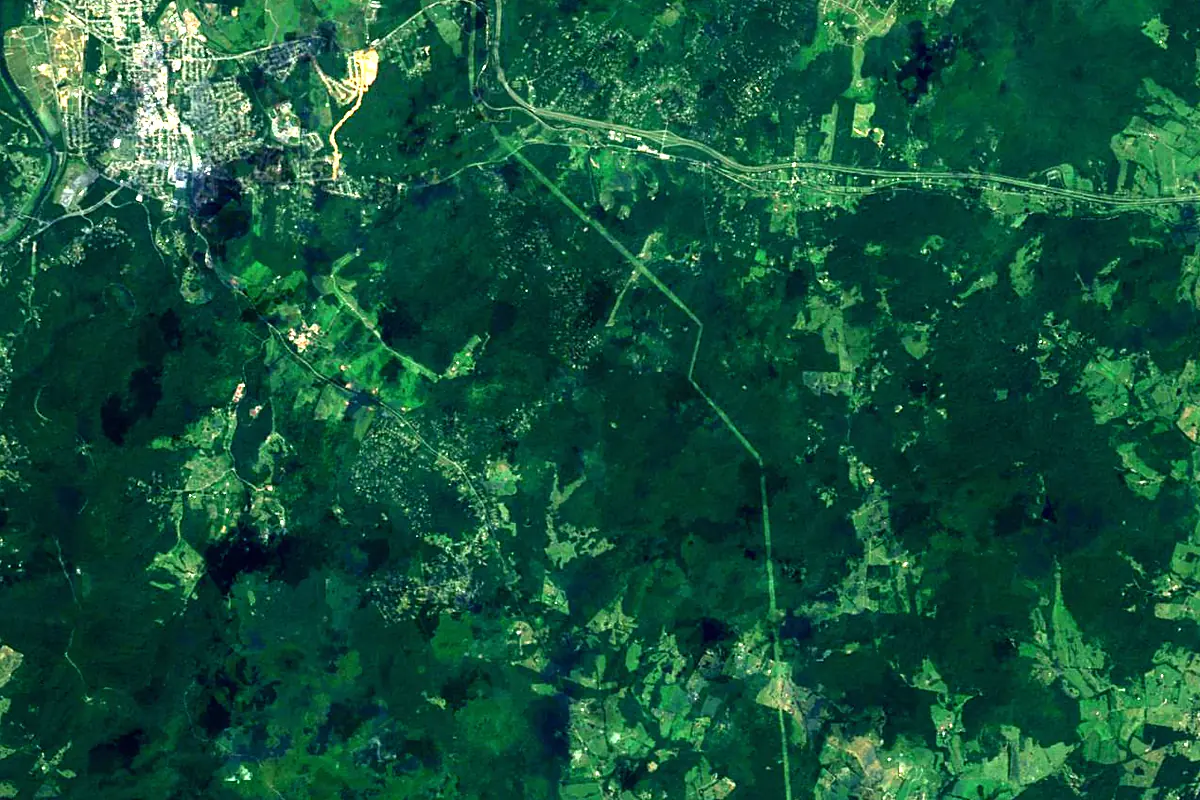
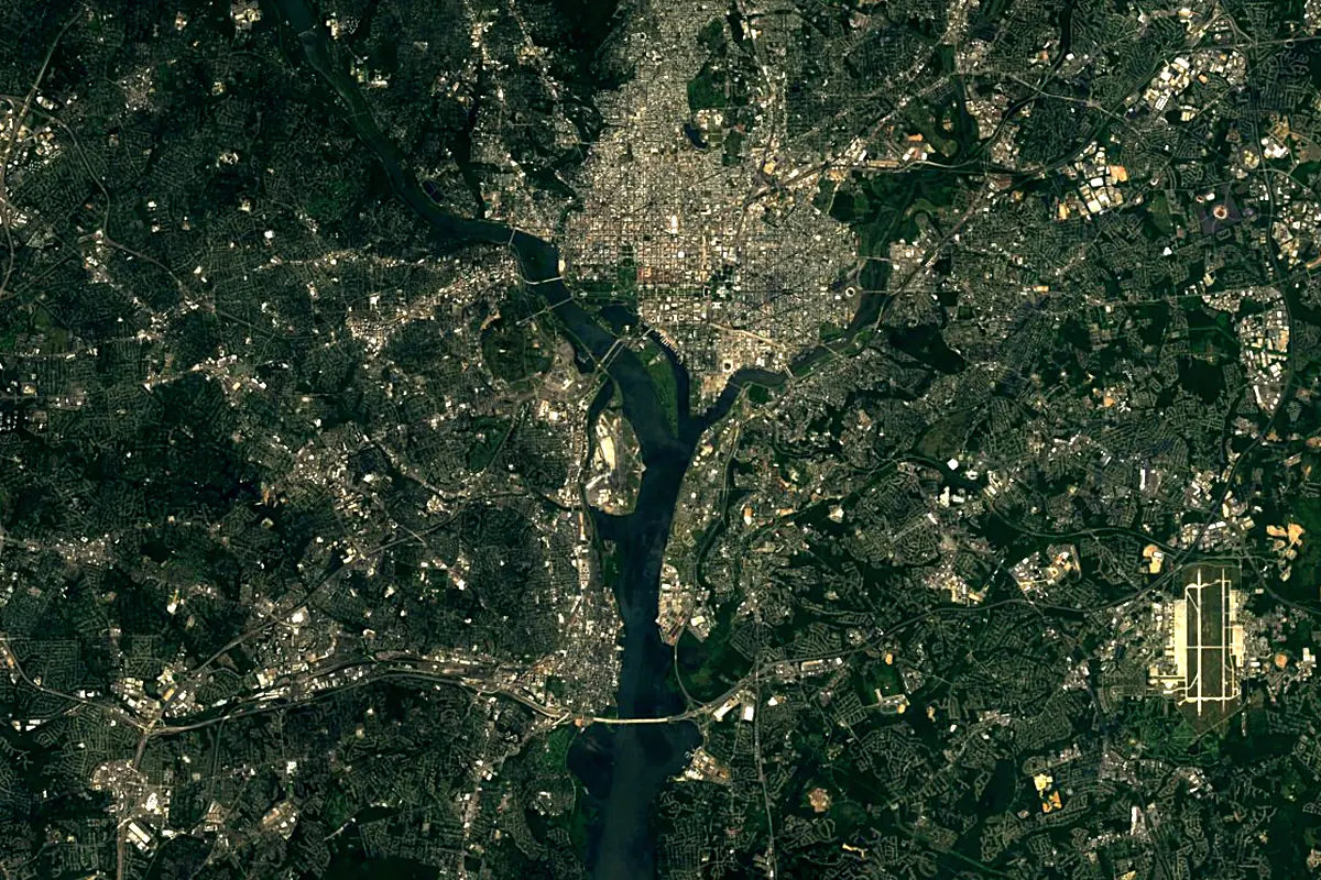
Sentinel-2 cloudless 2016 by EOX IT Services GmbH (contains modified Copernicus Sentinel data 2016), CC BY 4.0. The glowing line is the river as drawn by RiverATLAS.
Photos
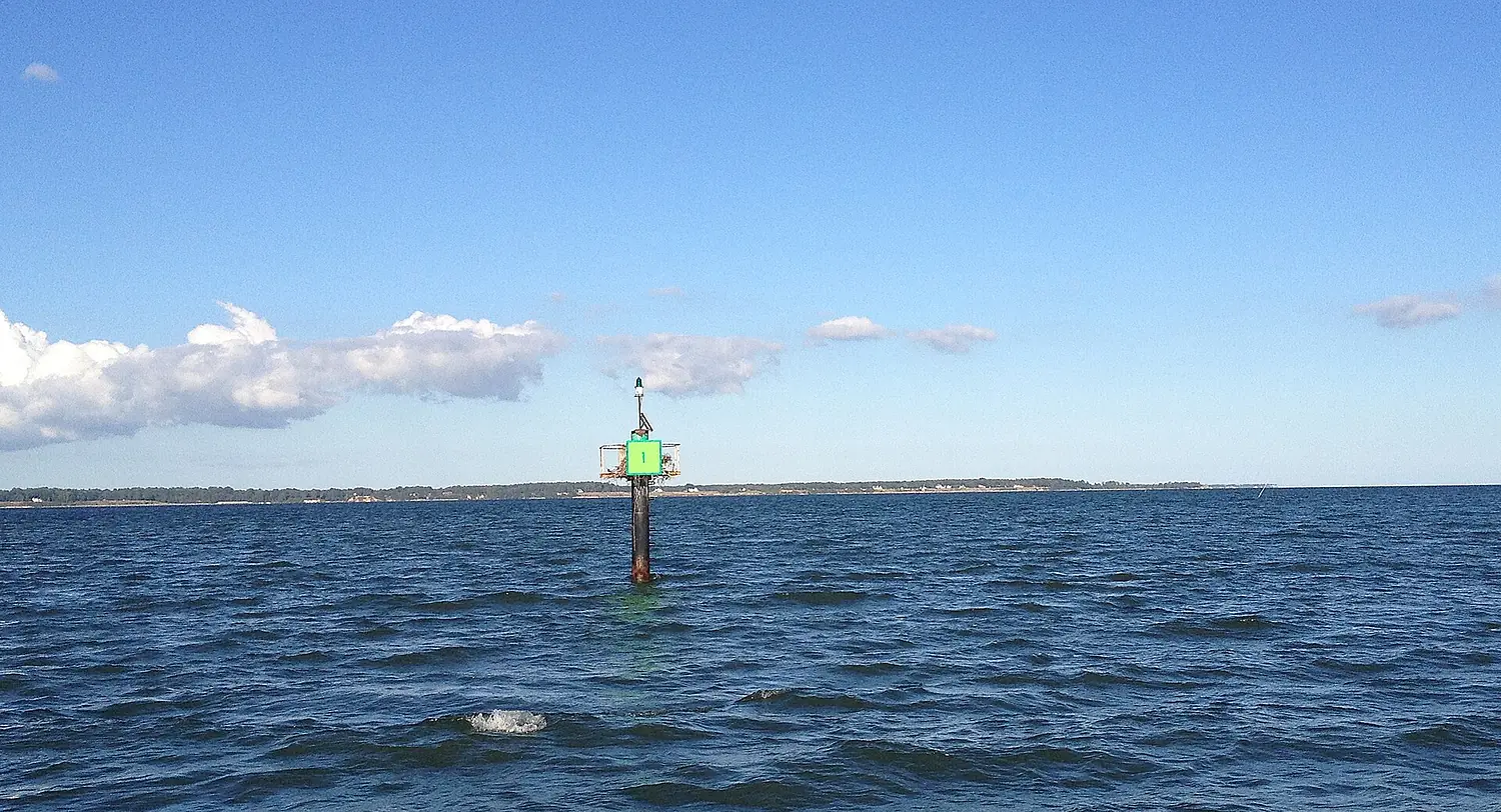
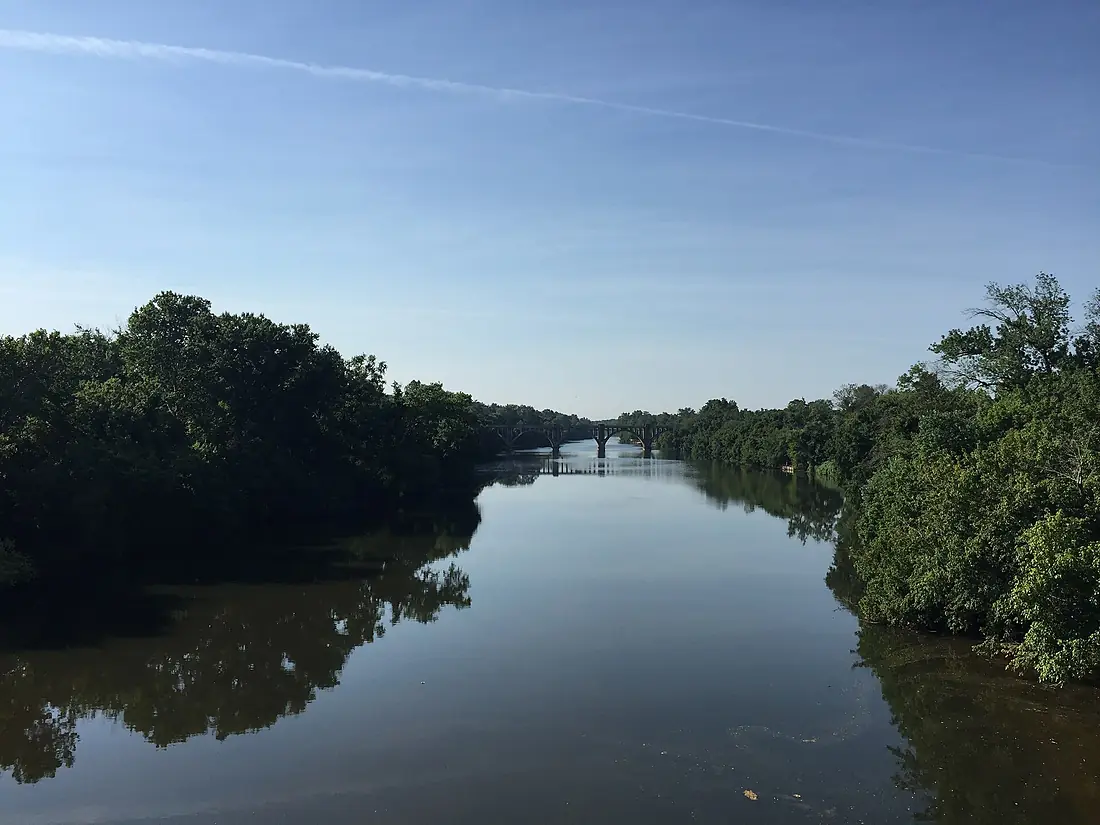
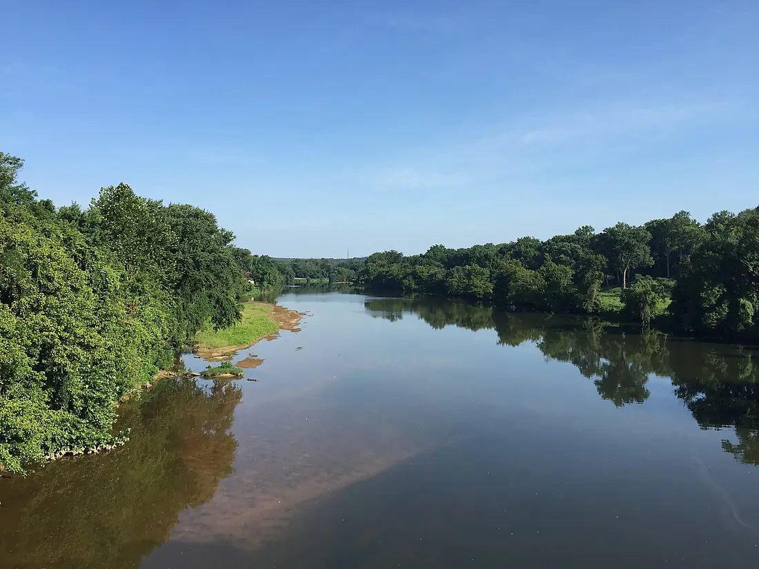
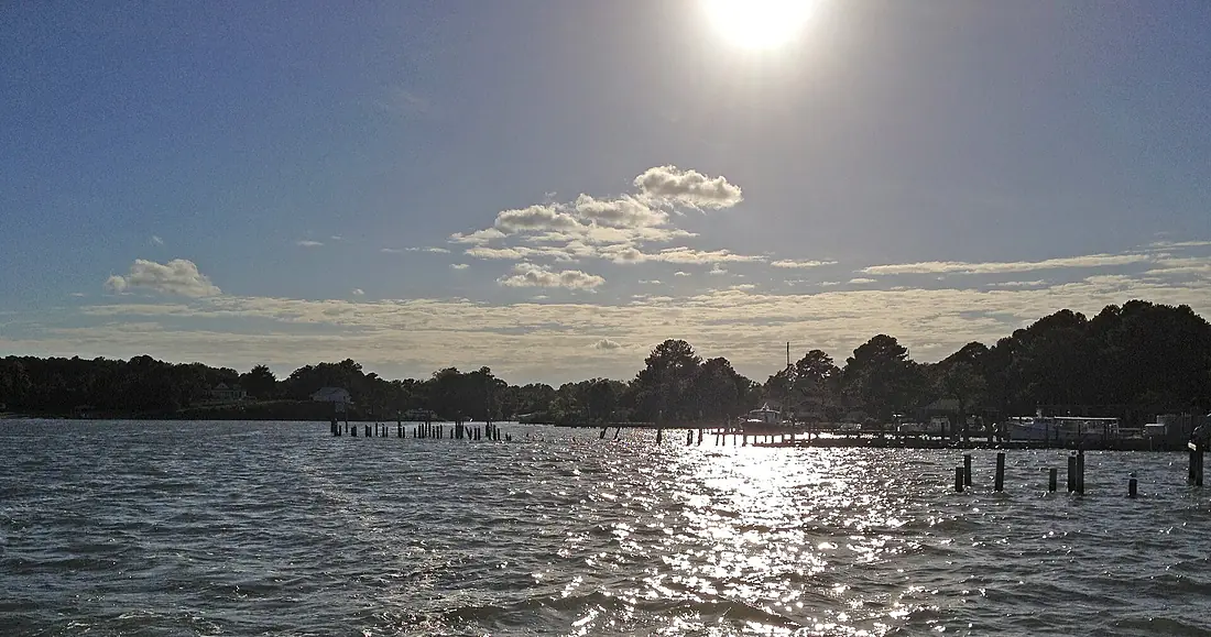
Rappahannock River in pictures
Tributaries
Where it flows, and what flows into it
Tributaries (7)
Also: Rapidan River, Corrotoman River, Hazel River, Jordan River, Piscataway Creek, Mountain Run, Totuskey Creek
In the same basin
Nearby
Rivers nearby
United States715 km1,100 m³/s113 km awayShenandoah RiverUnited States241 km85 m³/s80 km awayDelaware RiverUnited States579 km220 m³/s161 km awayHudson RiverUnited States492 km210 m³/s331 km awayAllegheny RiverUnited States523 km560 m³/s311 km awayMonongahela RiverUnited States209 km360 m³/s311 km awayRoanoke RiverUnited States660 km310 m³/s327 km awayKanawha RiverUnited States156 km430 m³/s443 km awayWhere these numbers come from
| Name, length, places | Wikidata (Q1333499) · CC0 |
|---|---|
| Course, profile, basin | RiverATLAS v1.0 (HydroATLAS, Linke et al. 2019) · CC BY 4.0 — followed along the river network from the point given by Wikidata |
| Flow | WaterGAP (RiverATLAS), 1971–2000 · CC BY 4.0 |
| Climate along the river | WorldClim (RiverATLAS), 1970–2000 · CC BY 4.0 |
| Towns, bridges, dams | Wikidata · CC0; GeoNames · CC BY 4.0 |
| Along the river | © OpenStreetMap contributors · ODbL |
| Images | EOX Sentinel-2 cloudless 2016 · CC BY 4.0; Wikimedia Commons |
| Our other atlases | Cascadyas, Peakyas — Wikidata · CC0; © OpenStreetMap contributors · ODbL; GeoNames · CC BY 4.0; HydroLAKES · CC BY 4.0; NOAA OISST |
Every source and licence is on the data sources page.
The family
Do you prefer beaches, lakes, mountains, waterfalls, islands, rivers or canyons?
Same idea, other landscapes: field atlases built on open data, month by month, in seven languages.
 beaches
 Find your beach: sea temperature, sun and swimming month by month.Visit
  lakes
lakes Every lake on Earth: water temperature, ice, depth and the shore.Coming soonVisit mountains
 Every summit in 3D: summit weather, the 0 °C line, huts and trails.Visit waterfalls
 Every waterfall: height, flow month by month and when it roars.Coming soonVisit
  islands
 Every island from the sea up: size, sea temperature, ferries and 3D.Coming soonVisit
  rivers
 Every river from source to sea: the journey, the flow and the basin in numbers.You are here
 canyons
 Every canyon cut to scale: depth to the floor, rim and floor temperatures, trails and viewpoints.Coming soonVisit