River
Susquehanna River
715 km from source to mouth · United States.
 United StatesFlows into Chesapeake Bay
In numbers
Length
715km
Average flow
1,100m³/s
Basin
71,225km²
Drop
365m
from 365 m to 0 m
Country
1
The journey
From source to mouth
715 km of river and 68 stops on the way: 30 towns and cities on its banks, dams, bridges and the tributaries that feed it.
- 0 kmSourceat 365 m
- 0 kmLeatherstocking Falls
- 3 kmOtsego Lake16 km²
- 10 kmOaks Creektributary
- 28 kmGoodyear Lake0.8 km²
- 39 kmOneonta13,079 people
- 47 kmOtego Creektributary
- 171 kmBinghamton46,032 people
- 172 kmChenango Rivertributary
- 177 kmJohnson City14,773 people
- 181 kmEndwell11,446 people
- 185 kmEndicott13,014 people
- 186 kmVestal28,043 people
- 241 kmChemung Rivertributary
- 348 kmTunkhannock1,767 people
- 348 kmTunkhannock Creektributary
- 355 kmBowman Creektributary
- 358 kmMoneypenny Creektributary
- 367 kmButtermilk Creektributary
- 381 kmLackawanna Rivertributary
- 393 kmHuntsville Creektributary
- 395 kmKingston12,941 people
- 395 kmWilkes-Barre44,328 people
- 398 kmToby Creektributary
- 405 kmNanticoke Creektributary
- 407 kmNanticoke10,258 people
- 413 kmHunlock Creektributary
- 413 kmRoaring Brooktributary
- 413 kmHarveys Creektributary
- 436 kmWalker Runtributary
- 440 kmBerwick10,223 people
- 460 kmBloomsburg12,711 people
- 463 kmCatawissa Township902 people
- 464 kmCatawissa1,536 people
- 465 kmCatawissa Creektributary
- 465 kmFishing Creektributary
- 472 kmRoaring Creektributary
- 478 kmDanville4,239 people
- 478 kmRiverside2,040 people
- 483 kmMahoning Creektributary
- 498 kmWest Branch Susquehanna Rivertributary
- 498 kmSunbury9,652 people
- 502 kmShamokin Creektributary
- 516 kmHerndon347 people
- 517 kmMahanoy Creektributary
- 525 kmDalmatia Creektributary
- 558 kmJuniata Rivertributary
- 572 kmMarysville2,652 people
- 573 kmRockville Bridge
- 574 kmSusquehanna Township26,736 people
- 581 kmWormleysburg3,043 people
- 582 kmHarrisburg50,099 people
- 582 kmWalnut Street Bridge
- 583 kmConodoguinet Creektributary
- 585 kmPaxton Creektributary
- 592 kmHighspire2,741 people
- 597 kmMiddletown9,117 people
- 604 kmSwatara Creektributary
- 606 kmConewago Falls
- 608 kmConewago Creektributary
- 625 kmChiques Creektributary
- 627 kmWrightsville2,261 people
- 627 kmColumbia–Wrightsville Bridge
- 628 kmColumbia10,207 people
- 650 kmConestoga Rivertributary
- 689 kmPort Deposit614 people
- 693 kmCecil County103,725 people
- 693 kmHavre de Grace14,807 people
- 693 kmAberdeen Proving Ground1,668 people
- 715 kmChesapeake Bayat 0 m
Water level along the river (RiverATLAS; the height is exaggerated). Towns: GeoNames and Wikidata; bridges, dams and tributaries: Wikidata.
River in the northeastern United States
At the mouth it carries 1,135 m³/s on average: an Olympic pool every 2.2 seconds. It drops from 365 m to 0 m, 0.5 m per kilometre on average. Its basin covers 71,225 km², about the size of SL. 4.2 million people live in it. Highest water: from March to May; lowest: from January to February. Its dams hold back little of its water (8.0% of a year's flow).
Where to start
- Cecil CountyLargest city on its banks · 103,725 people
- Wilmington Airport (ILG)Nearest airport with scheduled flights, 32 km from the cityCar hire at LNS airport (Lancaster)Discover Cars · Affiliate link↗
- On the water122 ferry piers, marinas, boat rentals and boat ramps along the river (OpenStreetMap)
- Kayak and canoe9 put-ins and rapids mapped (OpenStreetMap)
- From May to SeptemberThe best months to visit
Susquehanna River, month by month
Highest water: from March to May
Lowest water: from January to February. Best months to visit: from May to September.
From about 580 m³/s in the lowest month to 3,400 m³/s in the highest. An estimate: the monthly flow is modelled from the lowest and highest months of WaterGAP (RiverATLAS, 1971–2000) and the rain and snow along the river (WorldClim). Dams change the real rhythm. The chip is the average air temperature; below it, the month's rain.
Plan the trip
Plan the trip: boat trips, a bed by the river, a car
Some links above are affiliate links: if you book through them we may earn a commission, at no extra cost to you. It never changes what the data on this page says.
The basin
Susquehanna River: the basin in numbers
70,980 km² of land send their water to this river. This is what lives on it.
- 4.2millionpeople live in the basin
- 60/km²people per km²
- 397maverage altitude of the basin
- 1,008mmof rain a year (basin average)
- 8.4°Caverage air temperature
- 2%protected areas
- 0.3%covered by lakes
- 2.9km³held in reservoirs
What covers the basin
- 84% Forest
- 19% Cropland
- 4% Pasture
- 3% Towns and cities
RiverATLAS (HydroATLAS v1.0, CC BY 4.0): land cover, people, protected areas, glaciers and dams over the whole basin upstream of the mouth.
Along the river
Susquehanna River: what you find on the way
- 27WeirsOtsego Lake Dam, South Side Dam, Rockbottom Dam and 24 more
- 5LocksPennsylvania Canal, Eastern Division, Lock 12, Lock 13 and 2 more
- 3Waterfalls
- 2Rapids
- 7Canoe put-insNorthumberland Point Municipal Access, Safe Harbor Park Access, Holtwood Dam Portage Takeout and 4 more
- 94Boat rampsFish Road Boat Launch, William S. Payne Memorial Park Boat Launch, Afton Public River Access and 91 more
- 2Ferry piersCrows Ferry Landing, Millersburg Ferry Landing
- 22MarinasNorthumberland Boat Club, City Island Southern Marina, Rick's Campground & Marina and 19 more
- 2River beachesConcrete Beach, Garrett Island Beach
From OpenStreetMap, within 2.3 km of the river. Not mapped is not the same as not there.
Cross-checked with our atlases
Susquehanna River in our other atlases
What our sister atlases know about the waterfalls on this river, the lakes it flows through, the beaches at its mouth, the mountains where it rises and the islands off its mouth.
 2waterfalls on the riverCascadyas
 2lakes on its wayLakeyas
 31mountains at the sourcePeakyas
 1island off the mouthIslandyas
Waterfalls (2)
On the river, by Cascadyas
- Leatherstocking Fallskm 0
- Conewago Fallskm 618
Cascadyas is coming soonOpen Cascadyas ↗
Lakes and reservoirs (2)
Lakes it flows through, by Lakeyas
- Otsego Lakekm 3 · 7 m deep16km²
- Goodyear Lakekm 280.8km²
Lakeyas is coming soonOpen Lakeyas ↗
Mountains at the source (31)
Within 15 km of the source, by Peakyas
- Rum Hill11 km away
- Panther Mountain10 km away
- Cornish Hill4.7 km away
- Tunnicliff Hill12 km away
- Mount Wellington12 km away
- Red House Hill7.9 km away
- Metcalf Hill9.1 km away
- Hooker Mountain12 km away
23 more on PeakyasOpen Peakyas ↗
Islands off the mouth (1)
Within 30 km of the mouth, by Islandyas
- Spesutie Island13 km away
Islandyas is coming soonOpen Islandyas ↗
From space
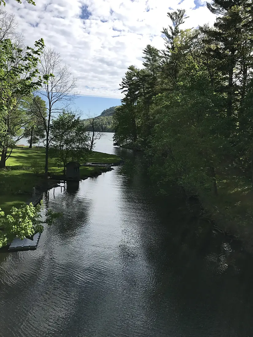
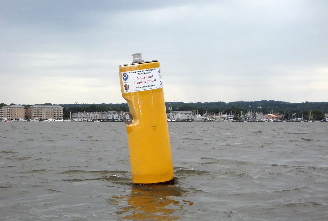
The source and the mouth, seen from orbit
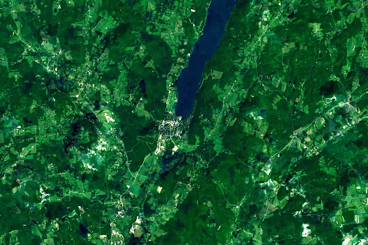
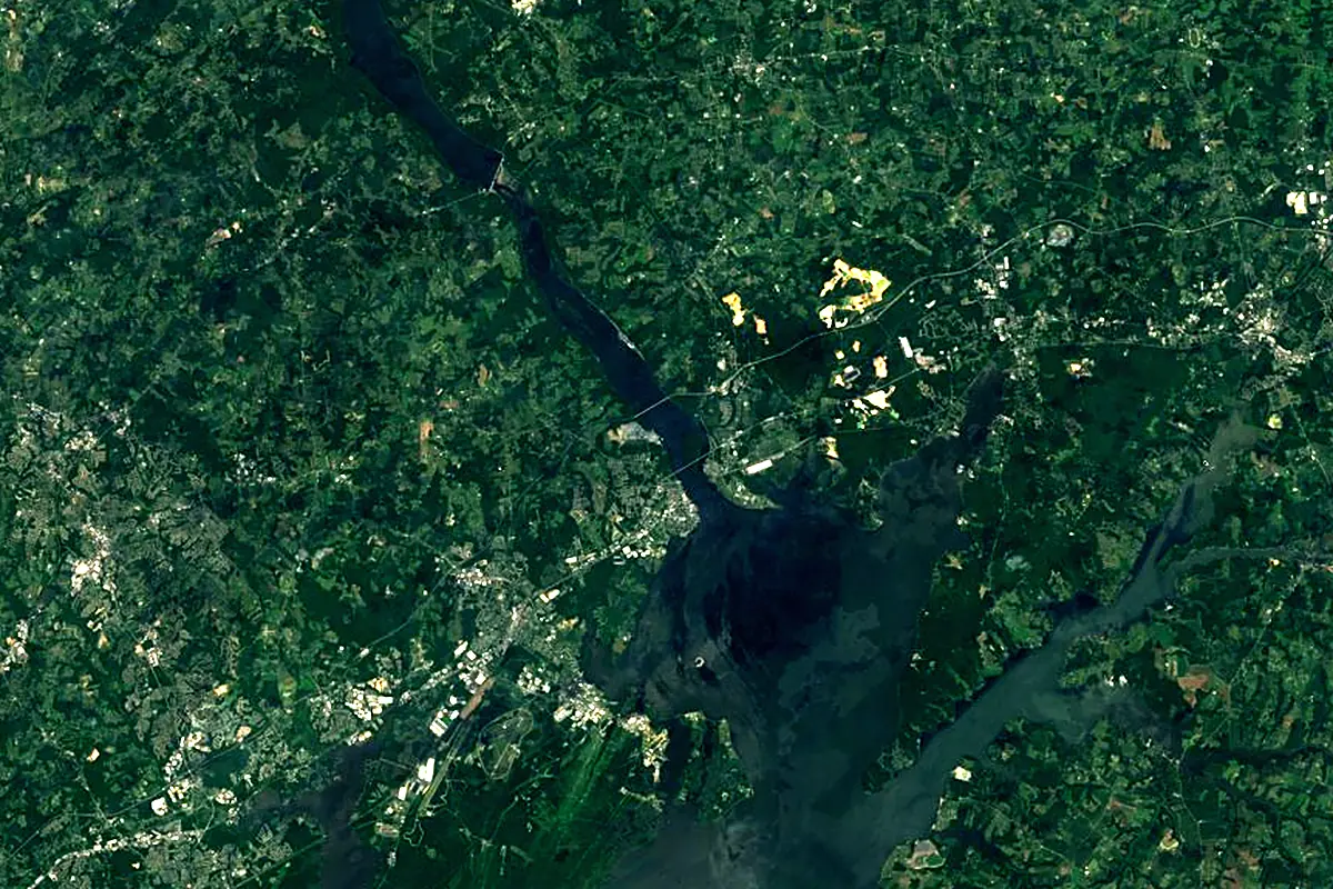
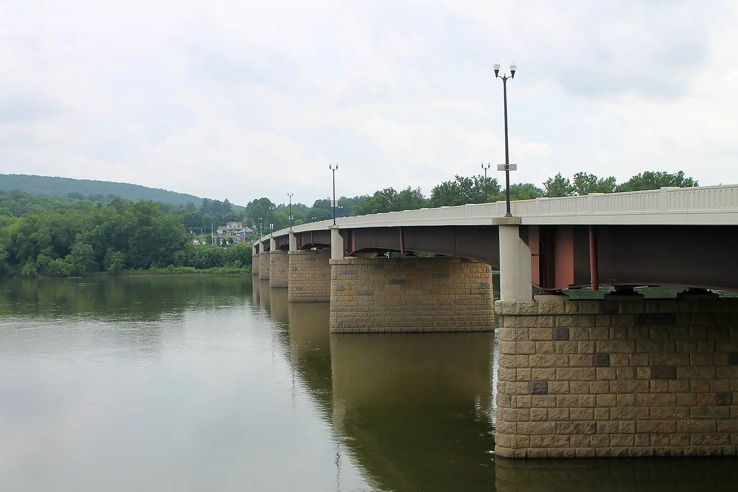
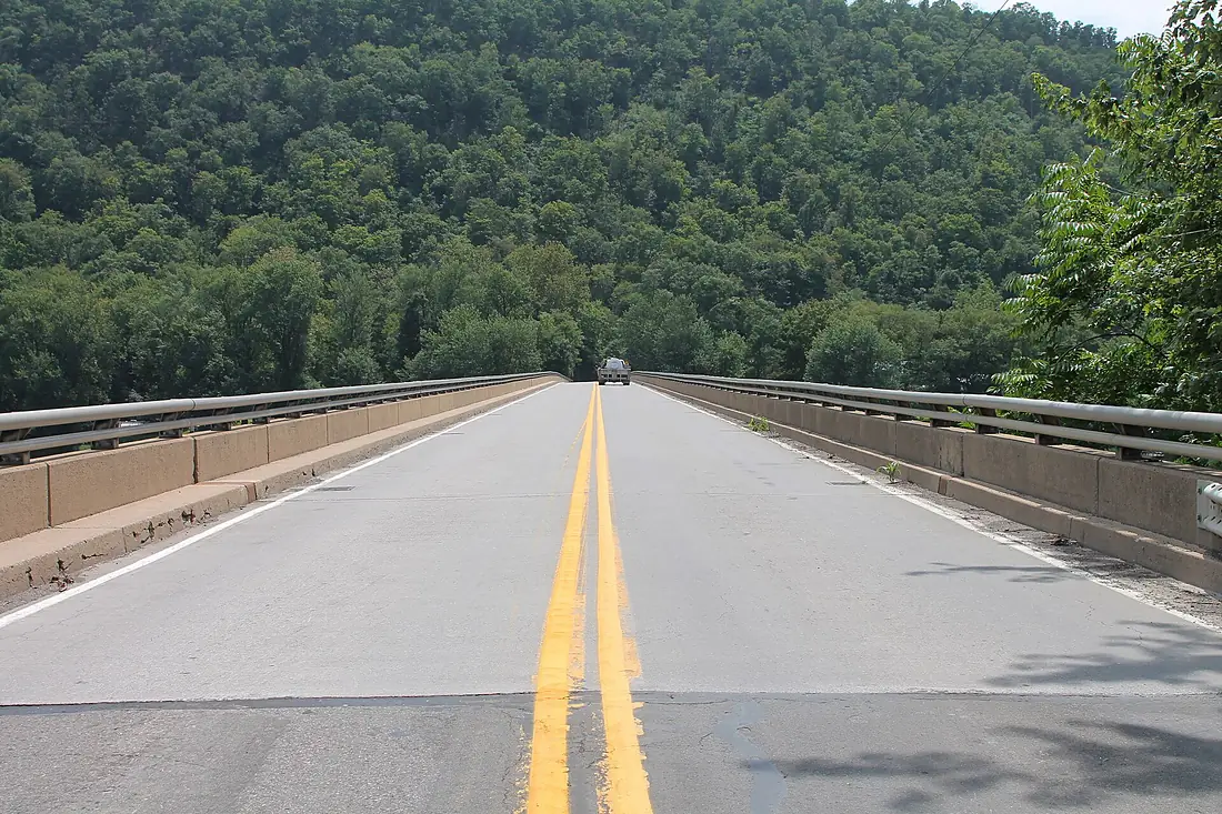
Sentinel-2 cloudless 2016 by EOX IT Services GmbH (contains modified Copernicus Sentinel data 2016), CC BY 4.0. The glowing line is the river as drawn by RiverATLAS.
Tributaries
Where it flows, and what flows into it
Tributaries (136)
Also: Lackawanna River, Chemung River, Juniata River, Catawissa Creek, Chenango River, Conestoga River, Nescopeck Creek, Chiques Creek, Swatara Creek, Bowman Creek, Conewago Creek, Conewago Creek, Conodoguinet Creek, Fishing Creek, Mahanoy Creek, Paxton Creek, Pequea Creek, Unadilla River, West Branch Susquehanna River, Mahoning Creek, Solomon Creek, Toby Creek, Mill Creek, Oaks Creek
Nearby
Rivers nearby
United States579 km220 m³/s52 km awayRappahannock RiverUnited States296 km47 m³/s113 km awayShenandoah RiverUnited States241 km85 m³/s143 km awayHudson RiverUnited States492 km210 m³/s219 km awayAllegheny RiverUnited States523 km560 m³/s348 km awayMonongahela RiverUnited States209 km360 m³/s348 km awayConnecticut RiverUnited States660 km520 m³/s372 km awayMohawk RiverUnited States240 km220 m³/s408 km awayWhere these numbers come from
| Name, length, places | Wikidata (Q27538) · CC0 |
|---|---|
| Course, profile, basin | RiverATLAS v1.0 (HydroATLAS, Linke et al. 2019) · CC BY 4.0 — followed from the source to the mouth given by Wikidata |
| Flow | WaterGAP (RiverATLAS), 1971–2000 · CC BY 4.0 |
| Climate along the river | WorldClim (RiverATLAS), 1970–2000 · CC BY 4.0 |
| Towns, bridges, dams | Wikidata · CC0; GeoNames · CC BY 4.0 |
| Along the river | © OpenStreetMap contributors · ODbL |
| Images | EOX Sentinel-2 cloudless 2016 · CC BY 4.0; Wikimedia Commons |
| Our other atlases | Cascadyas, Lakeyas, Peakyas, Islandyas — Wikidata · CC0; © OpenStreetMap contributors · ODbL; GeoNames · CC BY 4.0; HydroLAKES · CC BY 4.0; NOAA OISST |
Every source and licence is on the data sources page.
The family
Do you prefer beaches, lakes, mountains, waterfalls, islands, rivers or canyons?
Same idea, other landscapes: field atlases built on open data, month by month, in seven languages.
 beaches
 Find your beach: sea temperature, sun and swimming month by month.Visit lakes
 Every lake on Earth: water temperature, ice, depth and the shore.Coming soonVisit mountains
 Every summit in 3D: summit weather, the 0 °C line, huts and trails.Visit waterfalls
 Every waterfall: height, flow month by month and when it roars.Coming soonVisit islands
 Every island from the sea up: size, sea temperature, ferries and 3D.Coming soonVisit
  rivers
 Every river from source to sea: the journey, the flow and the basin in numbers.You are here
 canyons
 Every canyon cut to scale: depth to the floor, rim and floor temperatures, trails and viewpoints.Coming soonVisit