River
River Thames
334 km from source to mouth · United Kingdom.
 United KingdomFlows into North Sea2nd longest in United Kingdom
In numbers
Length
334km
Average flow
66m³/s
Basin
15,300km²
Drop
85m
from 83 m to -2 m
Country
1
The journey
From source to mouth
334 km of river and 68 stops on the way: 24 towns and cities on its banks, dams, bridges and the tributaries that feed it.
- 0 kmKembleat 83 m
- 33 kmRiver Colntributary
- 37 kmRiver Coletributary
- 40 kmRiver Leachtributary
- 69 kmRiver Windrushtributary
- 70 kmFarmoor Reservoir1.6 km²
- 77 kmRiver Evenlodetributary
- 83 kmOxford147,500 people
- 85 kmRiver Cherwelltributary
- 98 kmAbingdon-on-Thames33,130 people
- 100 kmRiver Ocktributary
- 115 kmRiver Thametributary
- 140 kmRiver Pangtributary
- 151 kmReading162,666 people
- 157 kmRedgrave Pinsent Rowing Lake2.2 km²
- 163 kmRiver Kennettributary
- 168 kmRiver Loddontributary
- 197 kmMaidenhead63,580 people
- 204 kmThe Cut, Berkshiretributary
- 208 kmWindsor Castle
- 209 kmSlough164,793 people
- 210 kmWindsor32,184 people
- 212 kmQueen Mother Reservoir2.4 km²
- 218 kmWraysbury Reservoir2.5 km²
- 219 kmKing George VI Reservoir1.6 km²
- 220 kmStaines Reservoirs1.0 km²
- 220 kmRiver Colnetributary
- 223 kmQueen Mary Reservoir3.1 km²
- 224 kmSt Ann's Lake0.4 km²
- 225 kmAbbey Lake0.3 km²
- 232 kmWalton-on-Thames66,566 people
- 232 kmRiver Ashtributary
- 235 kmQueen Elizabeth II Reservoir1.5 km²
- 235 kmKnight Reservoir0.6 km²
- 239 kmLongford Rivertributary
- 240 kmRiver Moletributary
- 241 kmIsland Barn Reservoir0.6 km²
- 241 kmHampton Court Palace
- 246 kmKingston upon Thames43,013 people
- 251 kmTwickenham62,148 people
- 258 kmKew GardensUNESCO World Heritage
- 263 kmRiver Brenttributary
- 266 kmHammersmith95,996 people
- 267 kmLonsdale Road Reservoir0.3 km²
- 269 kmPutney77,140 people
- 271 kmRiver Wandletributary
- 273 kmBattersea73,345 people
- 275 kmChelsea41,440 people
- 279 kmWestbournetributary
- 280 kmCity of Westminster247,614 people
- 280 kmPalace of Westminster
- 281 kmLondon8,799,728 people
- 283 kmIslington319,143 people
- 284 kmCity of London8,583 people
- 285 kmLondon Bridge
- 286 kmTower of LondonUNESCO World Heritage
- 286 kmTower Bridge
- 293 kmRiver Pecktributary
- 294 kmGreenwich30,578 people
- 303 kmWoolwich84,959 people
- 306 kmLondon Borough of Barking and Dagenham211,998 people
- 306 kmBarking218,534 people
- 306 kmRiver Rodingtributary
- 314 kmRiver Ingrebournetributary
- 314 kmRiver Romtributary
- 319 kmRiver Darenttributary
- 322 kmDartford51,240 people
- 330 kmGrays44,341 people
- 330 kmGravesend74,000 people
- 334 kmNorth Seaat -2 m
Water level along the river (RiverATLAS; the height is exaggerated). Towns: GeoNames and Wikidata; bridges, dams and tributaries: Wikidata.
River in southern England
At the mouth it carries 66 m³/s on average: an Olympic pool every 38 seconds. It drops from 83 m to -2 m, 0.3 m per kilometre on average. Its basin covers 15,300 km², about the size of TL. 13.7 million people live in it. Highest water: from December to January. No large dam holds it back: it is one of the world's free-flowing rivers.
Where to start
- LondonLargest city on its banks · 8,799,728 people
- London City Airport (LCY)Nearest airport with scheduled flights, 13 km from the cityCar hire at LCY airport (London)Discover Cars · Affiliate link↗
- On the water316 ferry piers, marinas, boat rentals and boat ramps along the river (OpenStreetMap)
- Kayak and canoe1 put-ins and rapids mapped (OpenStreetMap)
- From June to SeptemberThe best months to visit
River Thames, month by month
Highest water: from December to January
Best months to visit: from June to September.
From about 50 m³/s in the lowest month to 180 m³/s in the highest. An estimate: the monthly flow is modelled from the lowest and highest months of WaterGAP (RiverATLAS, 1971–2000) and the rain and snow along the river (WorldClim). Dams change the real rhythm. The chip is the average air temperature; below it, the month's rain.
Plan the trip
Plan the trip: boat trips, a bed by the river, a car
Some links above are affiliate links: if you book through them we may earn a commission, at no extra cost to you. It never changes what the data on this page says.
The basin
River Thames: the basin in numbers
13,323 km² of land send their water to this river. This is what lives on it.
- 13.7millionpeople live in the basin
- 1,039/km²people per km²
- 100maverage altitude of the basin
- 671mmof rain a year (basin average)
- 9.7°Caverage air temperature
- 29%protected areas
- 0.5%covered by lakes
What covers the basin
- 1% Forest
- 37% Cropland
- 13% Pasture
- 30% Towns and cities
RiverATLAS (HydroATLAS v1.0, CC BY 4.0): land cover, people, protected areas, glaciers and dams over the whole basin upstream of the mouth.
Along the river
River Thames: what you find on the way
- 233WeirsGloucester Street Sluice Gates, Barton Mill Sluice Gates, St.John's Lock Weir and 230 more
- 221LocksRiver Thames, Buscot Lock, Northmoor Lock and 218 more
- 5Waterfalls
- 1Canoe put-ins
- 174Boat rampsBablock Hythe Ferry Slipway, St Catherine's College Punts, Merton College Punts and 171 more
- 64Ferry piersBenson Marina, Thames RiverCruise, The Little Green Boat Company - Marlow and 61 more
- 63MarinasLechlade Marina, Maybush Moorings, Oxford Cruisers and 60 more
- 11River beachesCheese Wharf, Wolvercote Mill Stream Bathing Place, Long Bridges Bathing Place and 8 more
From OpenStreetMap, within 1.9 km of the river. Not mapped is not the same as not there.
Cross-checked with our atlases
River Thames in our other atlases
What our sister atlases know about the waterfalls on this river, the lakes it flows through, the beaches at its mouth, the mountains where it rises and the islands off its mouth.
 13lakes on its wayLakeyas
 1mountain at the sourcePeakyas
 2islands off the mouthIslandyas
Lakes and reservoirs (13)
Lakes it flows through, by Lakeyas
- Farmoor Reservoirkm 591.6km²
- Redgrave Pinsent Rowing Lakekm 1332.2km²
- Queen Mother Reservoirkm 1802.4km²
- Wraysbury Reservoirkm 1852.5km²
- King George VI Reservoirkm 1861.6km²
- Staines Reservoirskm 1861.0km²
- Queen Mary Reservoirkm 1893.1km²
- Queen Elizabeth II Reservoirkm 1991.5km²
5 more on LakeyasLakeyas is coming soonOpen Lakeyas ↗
Mountains at the source (1)
Within 15 km of the source, by Peakyas
- Cotswolds12 km away330m
Islands off the mouth (2)
Within 30 km of the mouth, by Islandyas
- Deadman's Island28 km away
- St Mary's Island17 km away
Islandyas is coming soonOpen Islandyas ↗
From space
The source and the mouth, seen from orbit
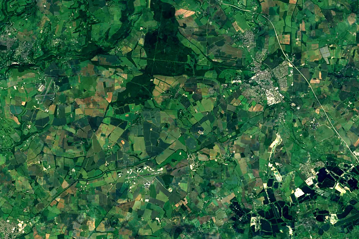
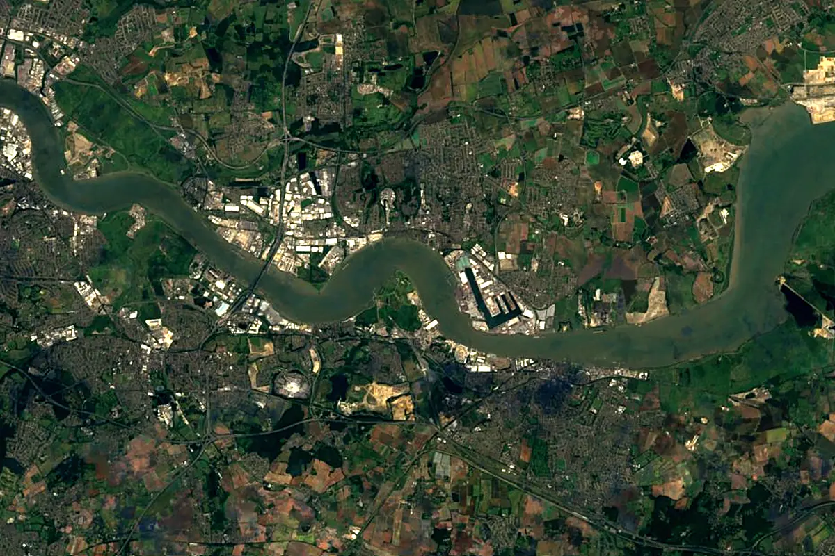
Sentinel-2 cloudless 2016 by EOX IT Services GmbH (contains modified Copernicus Sentinel data 2016), CC BY 4.0. The glowing line is the river as drawn by RiverATLAS.
Photos
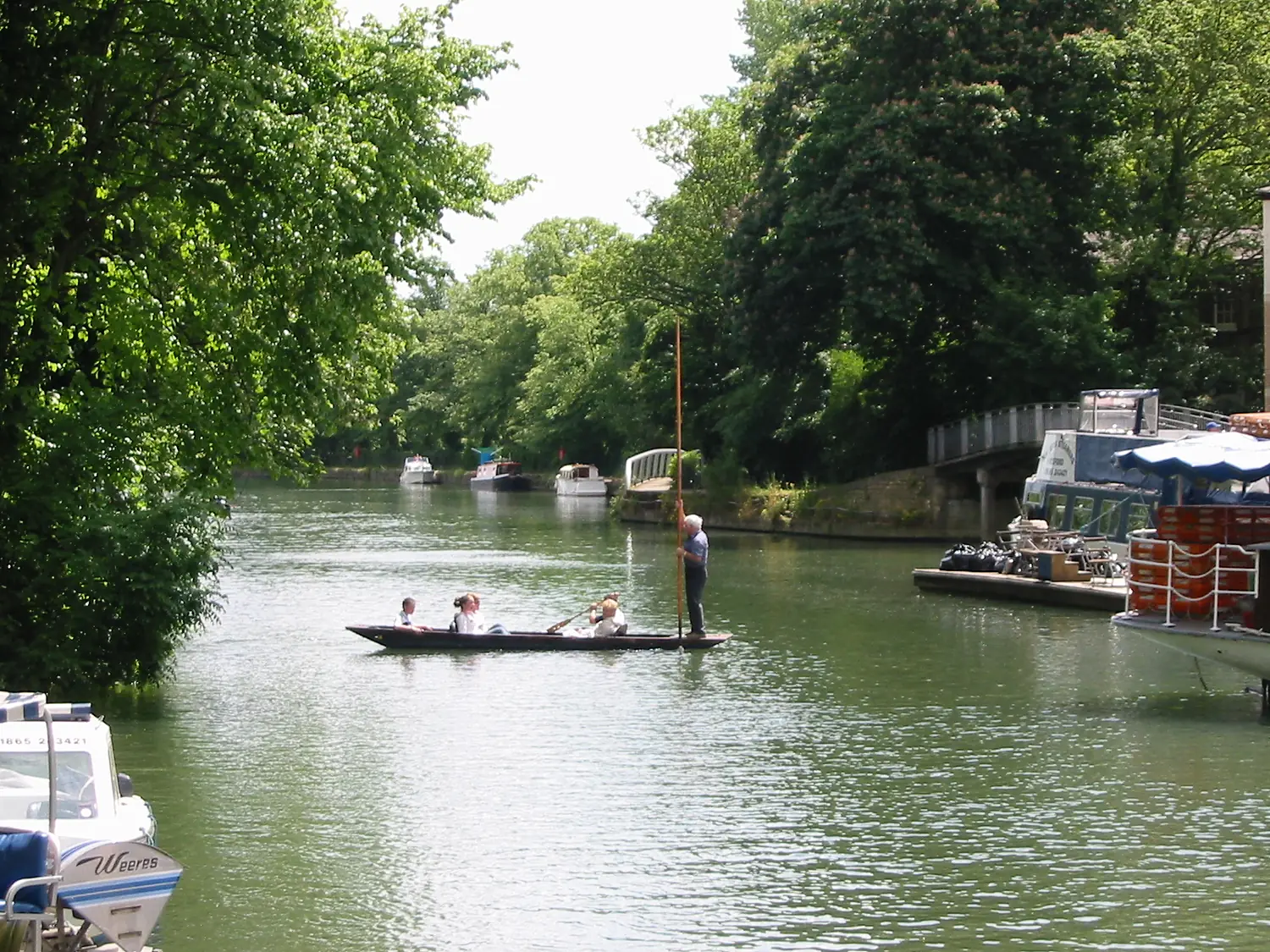
River Thames in pictures
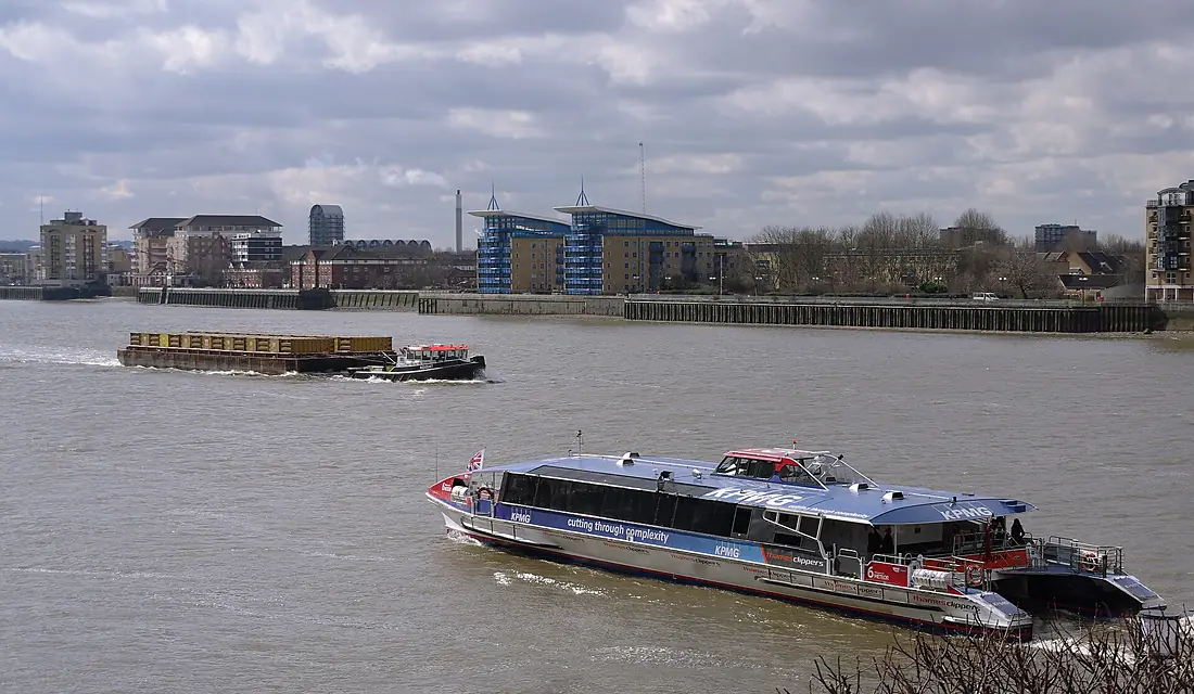
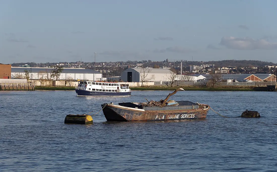
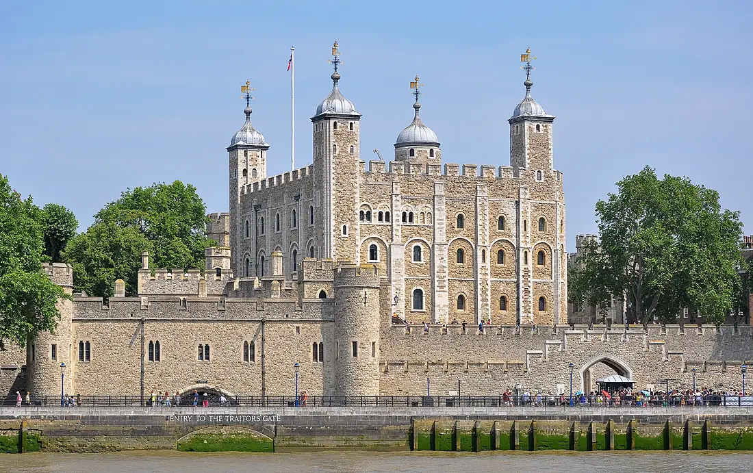
Tributaries
Where it flows, and what flows into it
Tributaries (41)
Also: River Medway, River Kennet, River Cherwell, River Wey, River Wandle, River Brent, River Mole, River Darent, River Roding, River Ravensbourne, River Windrush, River Colne, Westbourne, River Ock, River Evenlode, River Thame, River Churn, River Loddon, River Coln, River Crane, Bow Creek, Mardyke, River Pang, Hogsmill River
In the same basin
Nearby
Rivers nearby
United Kingdom68 km38 m³/s17 km awayRiver Great OuseUnited Kingdom240 km66 m³/s147 km awayRiver Somme France245 km35 m³/s169 km awaySeineFrance777 km500 m³/s220 km awayAa RiverFrance89 km10 m³/s134 km awayRiver SevernUnited Kingdom354 km110 m³/s196 km awayYser
 Belgium78 km15 m³/s171 km awayRiver NeneUnited Kingdom146 km20 m³/s152 km away
Where these numbers come from
| Name, length, places | Wikidata (Q19686) · CC0 |
|---|---|
| Course, profile, basin | RiverATLAS v1.0 (HydroATLAS, Linke et al. 2019) · CC BY 4.0 — followed from the source to the mouth given by Wikidata |
| Flow | WaterGAP (RiverATLAS), 1971–2000 · CC BY 4.0 |
| Climate along the river | WorldClim (RiverATLAS), 1970–2000 · CC BY 4.0 |
| Towns, bridges, dams | Wikidata · CC0; GeoNames · CC BY 4.0 |
| Along the river | © OpenStreetMap contributors · ODbL |
| Images | EOX Sentinel-2 cloudless 2016 · CC BY 4.0; Wikimedia Commons |
| Our other atlases | Lakeyas, Peakyas, Islandyas — Wikidata · CC0; © OpenStreetMap contributors · ODbL; GeoNames · CC BY 4.0; HydroLAKES · CC BY 4.0; NOAA OISST |
Every source and licence is on the data sources page.
The family
Do you prefer beaches, lakes, mountains, waterfalls, islands, rivers or canyons?
Same idea, other landscapes: field atlases built on open data, month by month, in seven languages.
 beaches
 Find your beach: sea temperature, sun and swimming month by month.Visit lakes
 Every lake on Earth: water temperature, ice, depth and the shore.Coming soonVisit mountains
 Every summit in 3D: summit weather, the 0 °C line, huts and trails.Visit
  waterfalls
 Every waterfall: height, flow month by month and when it roars.Coming soonVisit islands
 Every island from the sea up: size, sea temperature, ferries and 3D.Coming soonVisit
  rivers
 Every river from source to sea: the journey, the flow and the basin in numbers.You are here
 canyons
 Every canyon cut to scale: depth to the floor, rim and floor temperatures, trails and viewpoints.Coming soonVisit