River
River Trent
298 km from source to mouth · United Kingdom.
 United KingdomFlows into Humber3rd longest in United Kingdom
In numbers
Length
298km
Average flow
95m³/s
Basin
15,300km²
Drop
115m
from 115 m to 0 m
Country
1
The journey
From source to mouth
298 km of river and 68 stops on the way: 27 towns and cities on its banks, dams, bridges and the tributaries that feed it.
- 0 kmBiddulph Moorat 115 m
- 0 kmWednesbury20,313 people
- 1 kmWalsall172,141 people
- 12 kmHockley13,919 people
- 17 kmAston32,286 people
- 22 kmWashwood Heath32,921 people
- 26 kmCastle Vale10,000 people
- 32 kmWater Orton3,444 people
- 44 kmKingsbury3,730 people
- 53 kmFazeley7,522 people
- 55 kmTamworth81,964 people
- 71 kmHigh Bridge
- 71 kmColton Mill Bridge
- 71 kmMavesyn Ridware footbridge
- 72 kmRiver Blithetributary
- 72 kmYoxall Bridge
- 72 kmAlrewas River Trent footbridge
- 74 kmRiver Tametributary
- 74 kmWychnor Bridges
- 74 kmWichnor Viaduct
- 79 kmBarton under Needwood3,796 people
- 80 kmBailey Bridge (Walton on Trent)
- 88 kmFerry Bridge
- 88 kmSt Peter's Bridge, Burton upon Trent
- 89 kmAndresey Bridge
- 90 kmBurton upon Trent122,199 people
- 100 kmRiver Dovetributary
- 110 kmSwarkestone Bridge
- 113 kmMelbourne4,404 people
- 120 kmCastle Donington6,416 people
- 122 kmCavendish Bridge
- 125 kmRiver Derwenttributary
- 127 kmHarrington Bridge
- 129 kmRiver Soartributary
- 130 kmTrent Viaducts
- 133 kmLong Eaton47,898 people
- 134 kmStapleford15,453 people
- 134 kmToton8,064 people
- 137 kmChilwell12,864 people
- 142 kmClifton Bridge
- 145 kmBasford16,000 people
- 146 kmWilford Toll Bridge
- 147 kmNew Basford8,371 people
- 147 kmNottingham323,632 people
- 149 kmRiver Leentributary
- 149 kmTrent Bridge
- 149 kmWilford Suspension Bridge
- 150 kmLady Bay Bridge
- 150 kmWest Bridgford36,487 people
- 151 kmWaterside Bridge
- 157 kmHolme Pierrepont National Watersports Centre0.4 km²
- 159 kmRectory Junction Viaduct
- 159 kmRadcliffe on Trent7,510 people
- 164 kmGedling6,817 people
- 165 kmBurton Joyce3,752 people
- 169 kmGunthorpe Bridge
- 170 kmMotte and bailey castle adjacent to River Trent
- 193 kmNewark on Trent43,363 people
- 198 kmWinthorpe Bridge
- 219 kmFledborough Viaduct
- 222 kmDunham Bridge
- 244 kmGainsborough20,537 people
- 245 kmGainsborough Bridge
- 254 kmRiver Idletributary
- 262 kmSluice And Road Bridge At Outfall Of Snow Sewer/Warping Drain Into The River Trent
- 269 kmRiver Eautributary
- 276 kmSluice At Outfall Of Warping Drain Into The River Trent Immediately North Of Millfield House
- 279 kmKeadby Bridge
- 290 kmRiver Dontributary
- 298 kmHumberat 0 m
Water level along the river (RiverATLAS; the height is exaggerated). Towns: GeoNames and Wikidata; bridges, dams and tributaries: Wikidata.
Major river of England
At the mouth it carries 95 m³/s on average: an Olympic pool every 26 seconds. It drops from 115 m to 0 m, 0.4 m per kilometre on average. Its basin covers 15,300 km², about the size of TL. 7.7 million people live in it. Highest water: from December to January. No large dam holds it back: it is one of the world's free-flowing rivers.
Where to start
- NottinghamLargest city on its banks · 323,632 people
- East Midlands Airport (EMA)Nearest airport with scheduled flights, 18 km from the cityCar hire at EMA airport (Nottingham, Leicestershire)Discover Cars · Affiliate link↗
- On the water77 ferry piers, marinas, boat rentals and boat ramps along the river (OpenStreetMap)
- From June to SeptemberThe best months to visit
River Trent, month by month
Highest water: from December to January
Best months to visit: from June to September.
From about 78 m³/s in the lowest month to 270 m³/s in the highest. An estimate: the monthly flow is modelled from the lowest and highest months of WaterGAP (RiverATLAS, 1971–2000) and the rain and snow along the river (WorldClim). Dams change the real rhythm. The chip is the average air temperature; below it, the month's rain.
Plan the trip
Plan the trip: boat trips, a bed by the river, a car
Some links above are affiliate links: if you book through them we may earn a commission, at no extra cost to you. It never changes what the data on this page says.
The basin
River Trent: the basin in numbers
11,714 km² of land send their water to this river. This is what lives on it.
- 7.7millionpeople live in the basin
- 654/km²people per km²
- 119maverage altitude of the basin
- 729mmof rain a year (basin average)
- 9.3°Caverage air temperature
- 11%protected areas
- 0.3%covered by lakes
- 0.1km³held in reservoirs
What covers the basin
- 1% Forest
- 40% Cropland
- 19% Pasture
- 27% Towns and cities
RiverATLAS (HydroATLAS v1.0, CC BY 4.0): land cover, people, protected areas, glaciers and dams over the whole basin upstream of the mouth.
Along the river
River Trent: what you find on the way
- 54WeirsLadybridge Weir, Sawley Weir, Beeston Weir and 51 more
- 275LocksWalsall Canal, Rushall Canal, Tame Valley Canal and 272 more
- 3Waterfalls
- 39Boat rampsSawley Marina Slipway, Solitary House Slipway, Garthorpe Slipway and 36 more
- 37MarinasFazeley Mill Marina, Tamworth Cruising Club, Barton Marina and 34 more
From OpenStreetMap, within 1.8 km of the river. Not mapped is not the same as not there.
Cross-checked with our atlases
River Trent in our other atlases
What our sister atlases know about the waterfalls on this river, the lakes it flows through, the beaches at its mouth, the mountains where it rises and the islands off its mouth.
 1lake on its wayLakeyas
 6mountains at the sourcePeakyas
 2islands off the mouthIslandyas
Lakes and reservoirs (1)
Lakes it flows through, by Lakeyas
- Holme Pierrepont National Watersports Centrekm 1200.4km²
Lakeyas is coming soonOpen Lakeyas ↗
Mountains at the source (6)
Within 15 km of the source, by Peakyas
- Barr Beacon6.0 km away236m
- Turners Hill8.3 km away271m
- Beacon Hill8.2 km away237m
- Mons Hill7.6 km away
- Pouk Hill3.3 km away
- Portway Hill7.7 km away
Islands off the mouth (2)
Within 30 km of the mouth, by Islandyas
- Whitton Island4.7 km away
- Read's Island9.8 km away
Islandyas is coming soonOpen Islandyas ↗
From space
The source and the mouth, seen from orbit
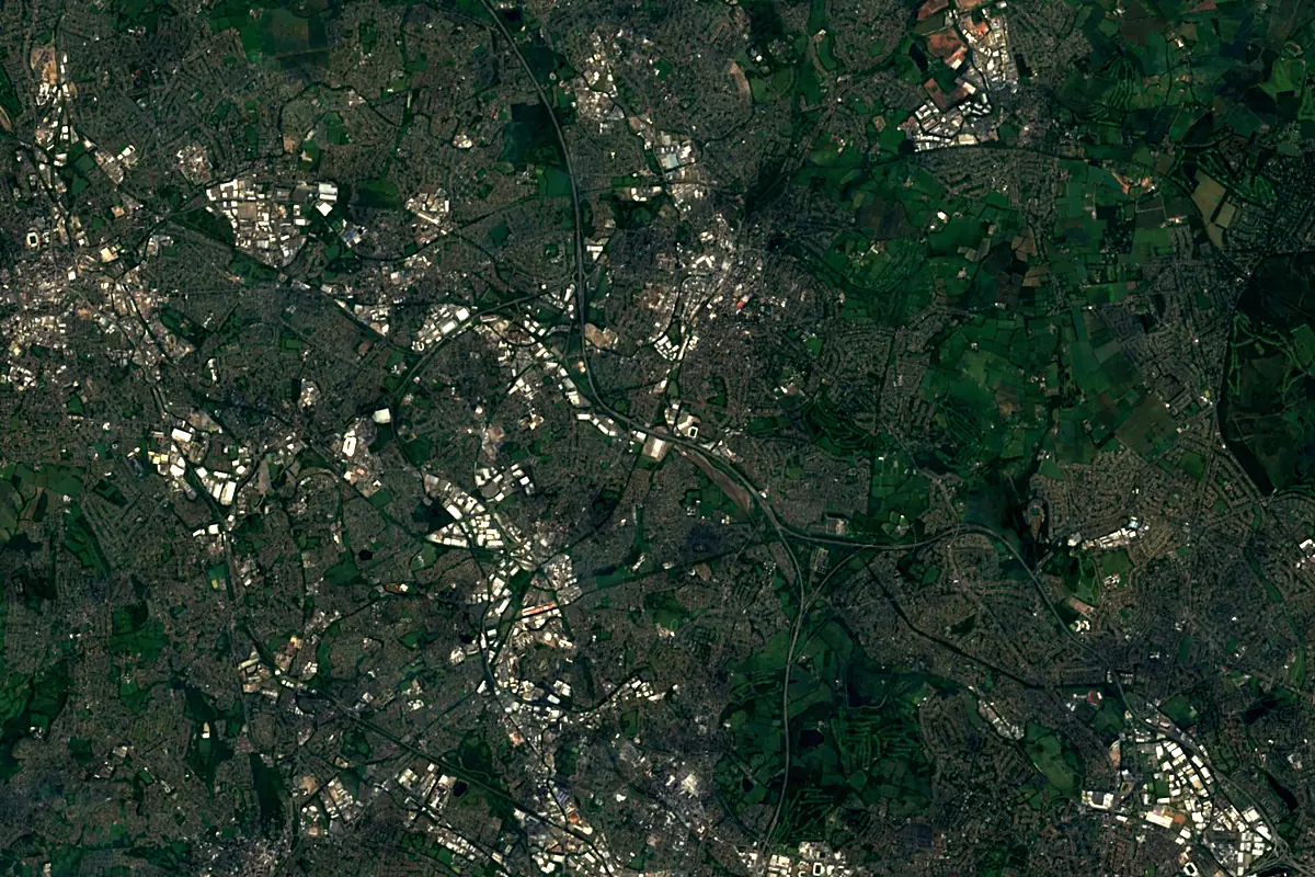
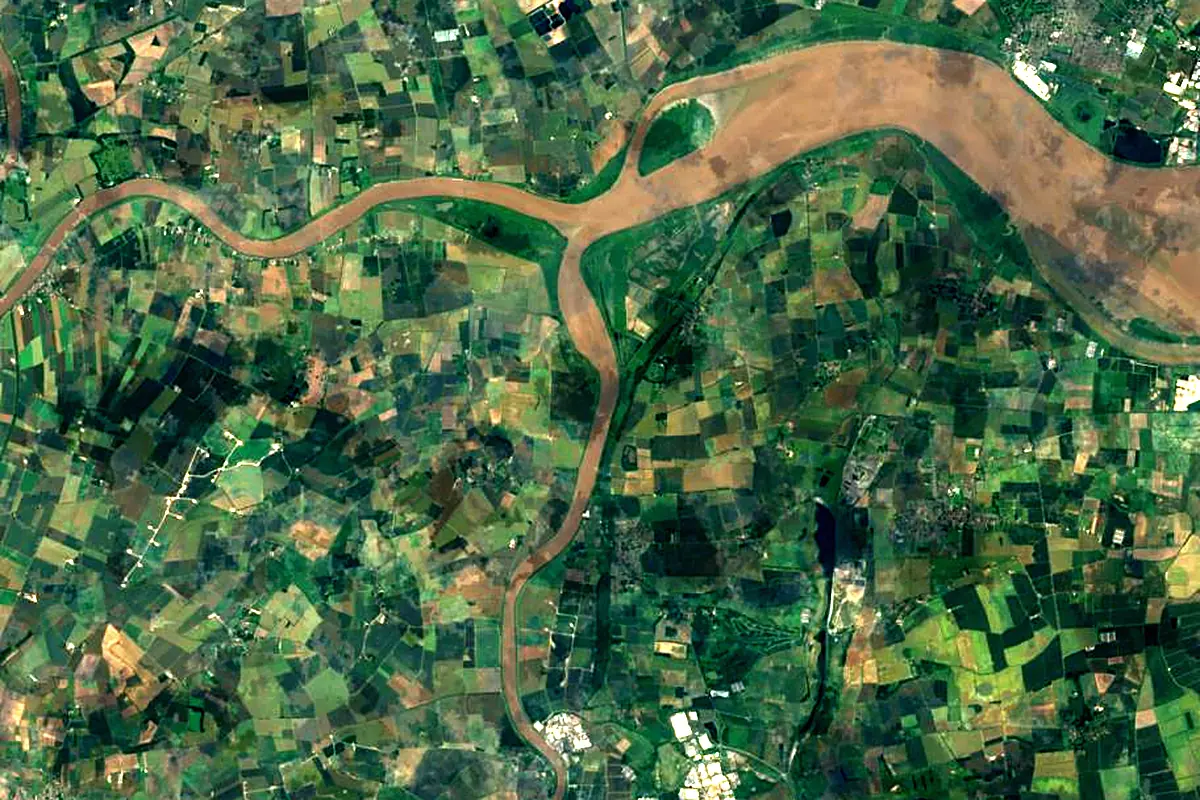
Sentinel-2 cloudless 2016 by EOX IT Services GmbH (contains modified Copernicus Sentinel data 2016), CC BY 4.0. The glowing line is the river as drawn by RiverATLAS.
Photos
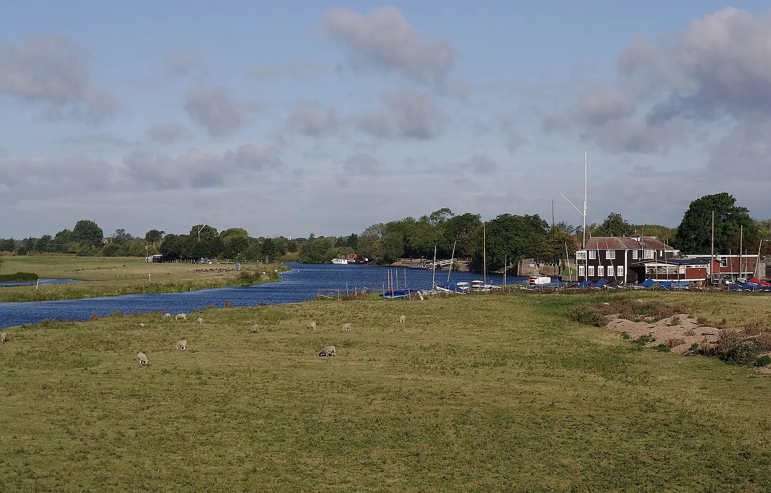
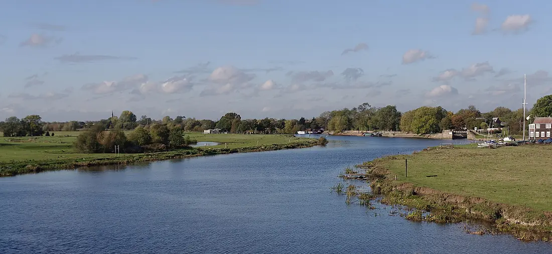
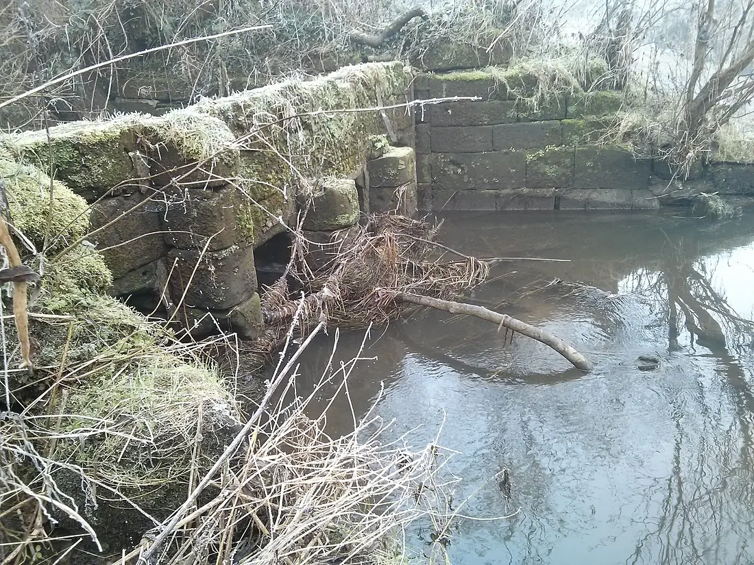
River Trent in pictures
Tributaries
Where it flows, and what flows into it
Tributaries (16)
Also: River Don, River Soar, River Tame, River Idle, River Dove, River Sow, River Devon, River Blithe, River Eau, River Erewash, River Leen, River Greet, River Mease, River Swarbourn, River Torne
Nearby
Rivers nearby
United Kingdom90 km50 m³/s4 km awayRiver AireUnited Kingdom114 km36 m³/s15 km awayRiver DerwentUnited Kingdom80 km29 m³/s98 km awayRiver Great OuseUnited Kingdom240 km66 m³/s121 km awayRiver TeesUnited Kingdom137 km34 m³/s108 km awayRiver NeneUnited Kingdom146 km20 m³/s112 km awayRiver TyneUnited Kingdom100 km63 m³/s156 km awayRiver WearUnited Kingdom96 km21 m³/s146 km awayWhere these numbers come from
| Name, length, places | Wikidata (Q19714) · CC0 |
|---|---|
| Course, profile, basin | RiverATLAS v1.0 (HydroATLAS, Linke et al. 2019) · CC BY 4.0 — followed along the river network from the point given by Wikidata |
| Flow | WaterGAP (RiverATLAS), 1971–2000 · CC BY 4.0 |
| Climate along the river | WorldClim (RiverATLAS), 1970–2000 · CC BY 4.0 |
| Towns, bridges, dams | Wikidata · CC0; GeoNames · CC BY 4.0 |
| Along the river | © OpenStreetMap contributors · ODbL |
| Images | EOX Sentinel-2 cloudless 2016 · CC BY 4.0; Wikimedia Commons |
| Our other atlases | Lakeyas, Peakyas, Islandyas — Wikidata · CC0; © OpenStreetMap contributors · ODbL; GeoNames · CC BY 4.0; HydroLAKES · CC BY 4.0; NOAA OISST |
Every source and licence is on the data sources page.
The family
Do you prefer beaches, lakes, mountains, waterfalls, islands, rivers or canyons?
Same idea, other landscapes: field atlases built on open data, month by month, in seven languages.
 beaches
 Find your beach: sea temperature, sun and swimming month by month.Visit lakes
 Every lake on Earth: water temperature, ice, depth and the shore.Coming soonVisit mountains
 Every summit in 3D: summit weather, the 0 °C line, huts and trails.Visit
  waterfalls
 Every waterfall: height, flow month by month and when it roars.Coming soonVisit islands
 Every island from the sea up: size, sea temperature, ferries and 3D.Coming soonVisit
  rivers
 Every river from source to sea: the journey, the flow and the basin in numbers.You are here
 canyons
 Every canyon cut to scale: depth to the floor, rim and floor temperatures, trails and viewpoints.Coming soonVisit