River
River Derwent
80 km from source to mouth · United Kingdom.
 United KingdomFlows into River Trent
In numbers
Length
80km
Average flow
29m³/s
Basin
1,176km²
Drop
176m
from 209 m to 33 m
Country
1
The journey
From source to mouth
80 km of river and 40 stops on the way: 10 towns and cities on its banks, dams, bridges and the tributaries that feed it.
- 0 kmPeak District National Parkat 209 m
- 0 kmSlippery Stones packhorse bridge
- 1 kmLadybower Reservoir1.9 km²
- 1 kmYorkshire Bridge
- 7 kmHathersage2,018 people
- 8 kmLeadmill Bridge
- 12 kmGrindleford Bridge
- 14 kmFroggatt Bridge
- 15 kmMasonry Weir To The East Of New Bridge
- 16 kmCalver Mill
- 16 kmCalver Bridge
- 18 kmBaslow Bridge
- 18 kmBaslow1,178 people
- 21 kmChatsworth Bridge
- 21 kmConduit House Cascade and adjoining statues
- 23 kmOne Arch Bridge
- 26 kmRowsley Bridge
- 29 kmRiver Wyetributary
- 30 kmDarley Bridge
- 34 kmMatlock14,956 people
- 34 kmMatlock Bridge
- 38 kmCromford2,073 people
- 38 kmCromford Bridge
- 40 kmWigwell Aqueduct
- 43 kmWhatstandwell Bridge
- 47 kmHalf Penny Bridge Over The River Derwent
- 48 kmDerwent Viaduct
- 51 kmBelper Bridge
- 52 kmBelper23,417 people
- 55 kmMilford Bridge
- 57 kmDuffield4,687 people
- 57 kmDuffield Bridge
- 60 kmLittle Eaton2,060 people
- 64 kmHandyside Bridge
- 64 kmSt Marys Bridge
- 65 kmCathedral Green Footbridge
- 65 kmExeter Bridge
- 65 kmDerby270,468 people
- 66 kmDerwent Bridge
- 66 kmChaddesden13,413 people
- 73 kmBorrowash5,746 people
- 80 kmRiver Trentat 33 m
Water level along the river (RiverATLAS; the height is exaggerated). Towns: GeoNames and Wikidata; bridges, dams and tributaries: Wikidata.
Principal river of Derbyshire, England
At the mouth it carries 29 m³/s on average: an Olympic pool every 88 seconds. It drops from 209 m to 33 m, 2.2 m per kilometre on average. Its basin covers 1,176 km², about the size of MQ. 343,000 people live in it. Highest water: from December to January. Its dams hold back little of its water (5.3% of a year's flow).
Where to start
- DerbyLargest city on its banks · 270,468 people
- East Midlands Airport (EMA)Nearest airport with scheduled flights, 14 km from the cityCar hire at EMA airport (Nottingham, Leicestershire)Discover Cars · Affiliate link↗
- On the water7 ferry piers, marinas, boat rentals and boat ramps along the river (OpenStreetMap)
- Kayak and canoe3 put-ins and rapids mapped (OpenStreetMap)
- From June to SeptemberThe best months to visit
River Derwent, month by month
Highest water: from December to January
Best months to visit: from June to September.
From about 14 m³/s in the lowest month to 43 m³/s in the highest. An estimate: the monthly flow is modelled from the lowest and highest months of WaterGAP (RiverATLAS, 1971–2000) and the rain and snow along the river (WorldClim). Dams change the real rhythm. The chip is the average air temperature; below it, the month's rain.
Plan the trip
Plan the trip: boat trips, a bed by the river, a car
Some links above are affiliate links: if you book through them we may earn a commission, at no extra cost to you. It never changes what the data on this page says.
The basin
River Derwent: the basin in numbers
1,176 km² of land send their water to this river. This is what lives on it.
- 343,000people live in the basin
- 291/km²people per km²
- 244maverage altitude of the basin
- 927mmof rain a year (basin average)
- 8.8°Caverage air temperature
- 53%protected areas
- 0.3%covered by lakes
- 0.0km³held in reservoirs
What covers the basin
- 2% Forest
- 26% Cropland
- 34% Pasture
- 15% Towns and cities
RiverATLAS (HydroATLAS v1.0, CC BY 4.0): land cover, people, protected areas, glaciers and dams over the whole basin upstream of the mouth.
Along the river
River Derwent: what you find on the way
- 45WeirsCalver New Weir, Bear Pit, Whatstandwell Weir and 42 more
- 17LocksDerby Canal, Trent and Mersey Canal, Derwent Mouth Lock and 14 more
- 11WaterfallsLumsdale Falls and 10 more
- 2Rapids
- 1Canoe put-insDerwent
- 2Boat rampsSawley Marina Slipway
- 1Ferry piersCausey Bridge Riverboat Station
- 4MarinasShardlow Marina, Chapel Farm Marina, Sawley Marina and 1 more
From OpenStreetMap, within 1.2 km of the river. Not mapped is not the same as not there.
Cross-checked with our atlases
River Derwent in our other atlases
What our sister atlases know about the waterfalls on this river, the lakes it flows through, the beaches at its mouth, the mountains where it rises and the islands off its mouth.
 1waterfall on the riverCascadyas
 1lake on its wayLakeyas
 28mountains at the sourcePeakyas
Waterfalls (1)
On the river, by Cascadyas
- Conduit House Cascade and adjoining statueskm 19
Cascadyas is coming soonOpen Cascadyas ↗
Lakes and reservoirs (1)
Lakes it flows through, by Lakeyas
- Ladybower Reservoirkm 1 · 41 m deep1.9km²
Lakeyas is coming soonOpen Lakeyas ↗
Mountains at the source (28)
Within 15 km of the source, by Peakyas
- Peak District9.9 km away636m
- Kinder Scout9.9 km away · prominence 497 m636m
- Bleaklow3.4 km away633m
- Black Hill9.1 km away · prominence 165 m582m
- Mam Tor13 km away · prominence 62 m517m
- Black Chew Head9.0 km away542m
- Grindslow Knoll9.9 km away601m
- High Stones6.7 km away548m
20 more on PeakyasOpen Peakyas ↗
From space
The source and the mouth, seen from orbit
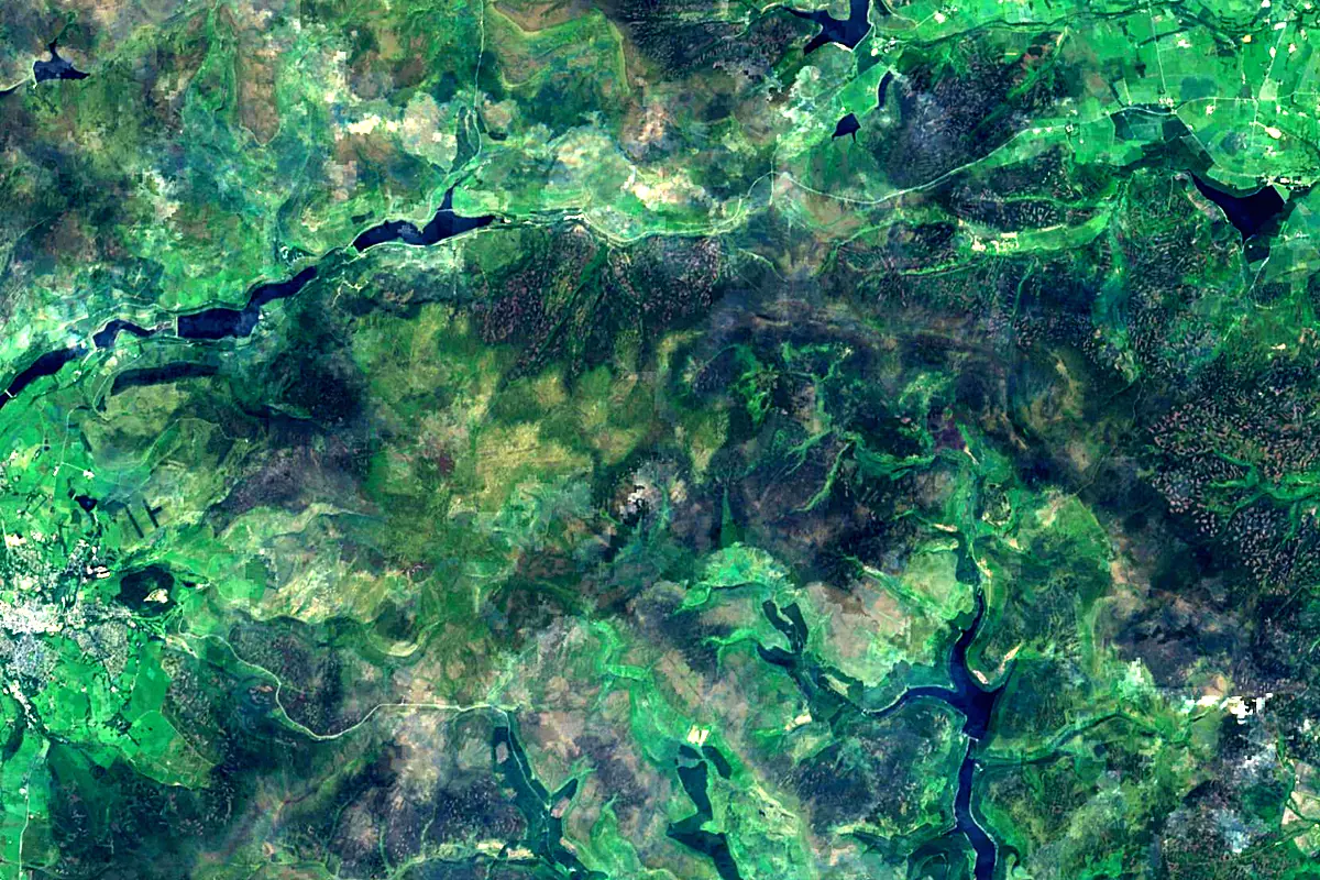
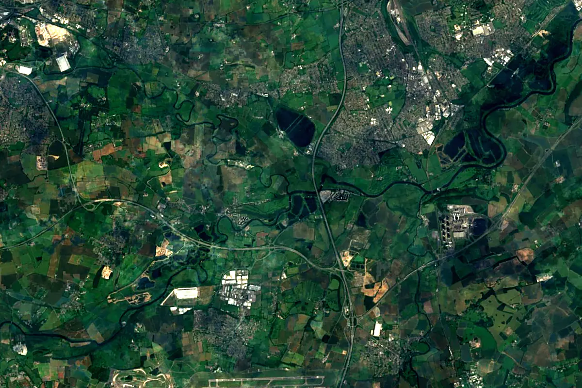
Sentinel-2 cloudless 2016 by EOX IT Services GmbH (contains modified Copernicus Sentinel data 2016), CC BY 4.0. The glowing line is the river as drawn by RiverATLAS.
Photos
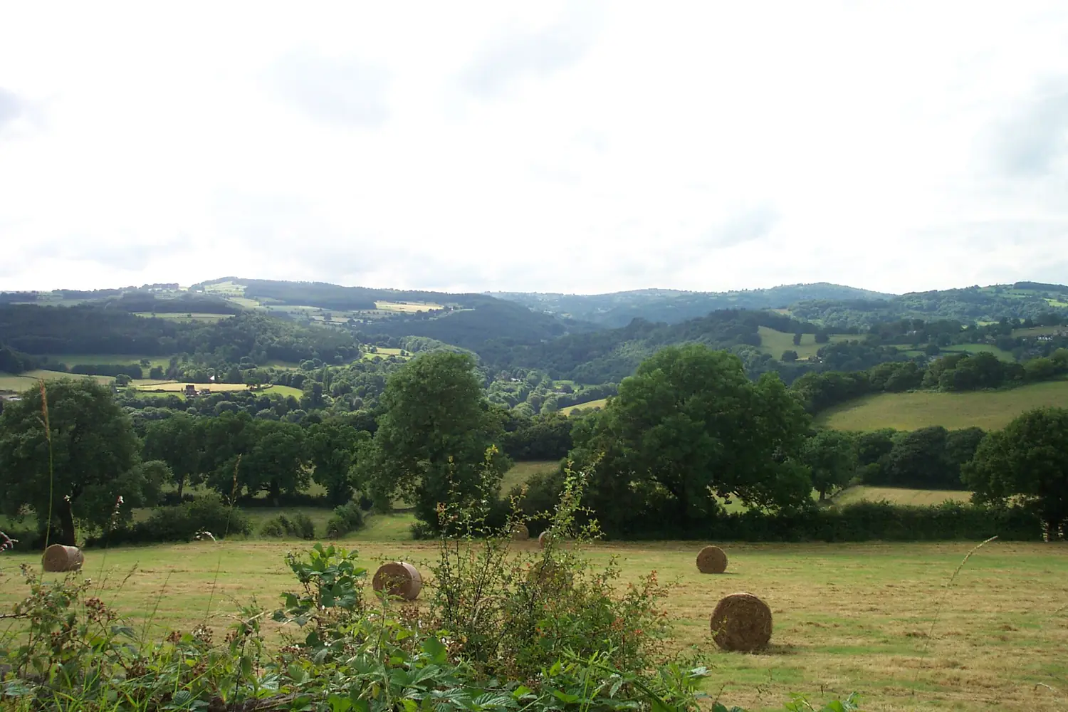
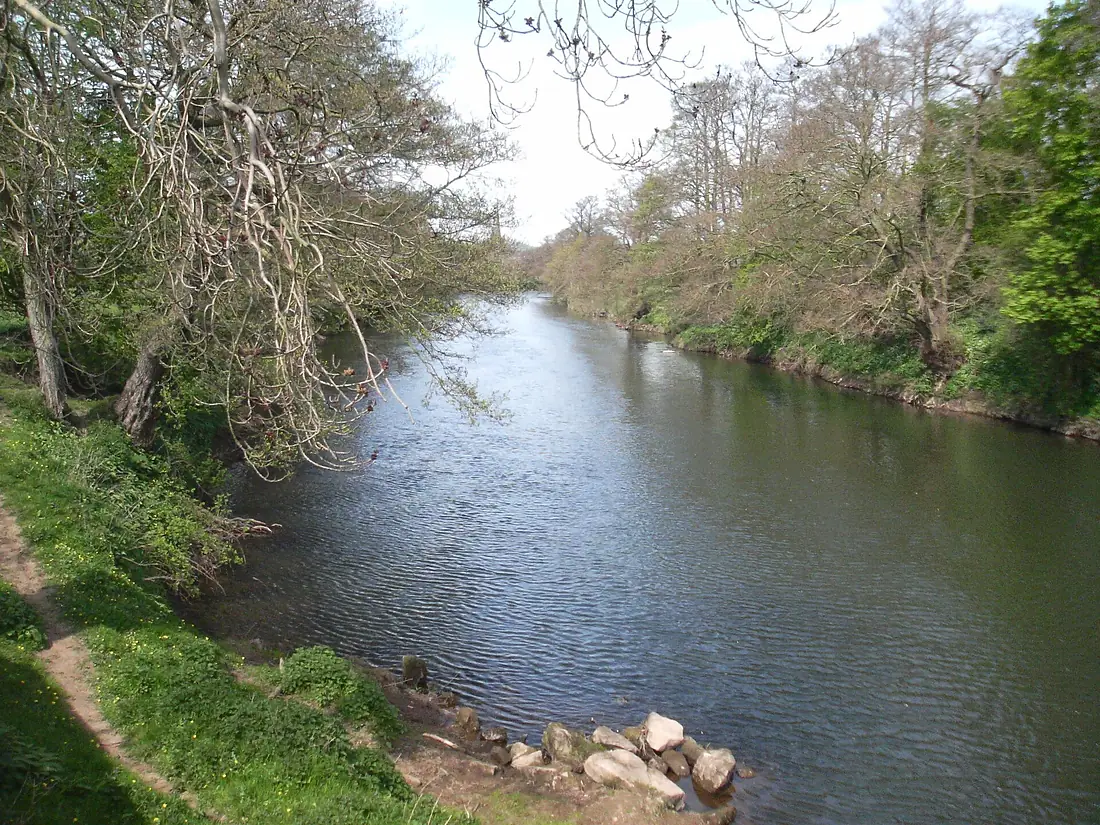
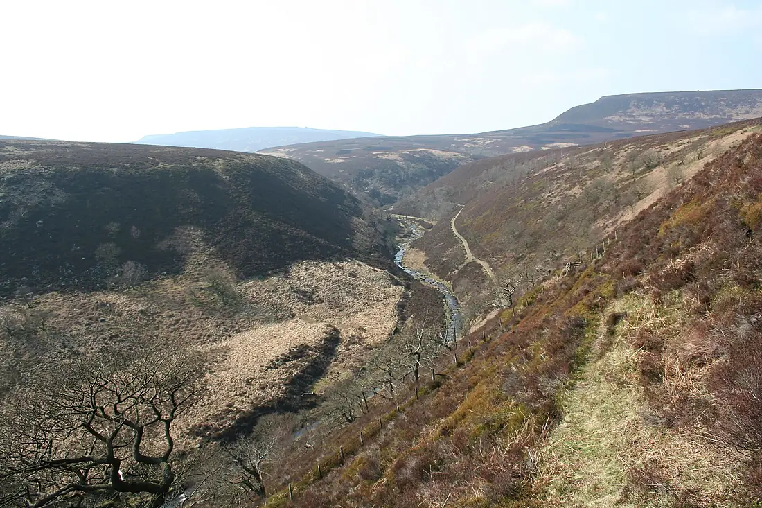
River Derwent in pictures
Tributaries
Where it flows, and what flows into it
It flows into
River TrentUnited Kingdom298 km95 m³/sTributaries (9)
Also: River Amber, River Noe, River Wye, River Ashop, River Westend, Bentley Brook, Burbage Brook, Markeaton Brook, River Ecclesbourne
Nearby
Rivers nearby
United Kingdom114 km36 m³/s99 km awayRiver OuseUnited Kingdom90 km50 m³/s101 km awayRiver Great OuseUnited Kingdom240 km66 m³/s114 km awayRiver SevernUnited Kingdom354 km110 m³/s151 km awayRiver AvonUnited Kingdom154 km31 m³/s113 km awayRiver NeneUnited Kingdom146 km20 m³/s103 km awayRiver DeeUnited Kingdom110 km30 m³/s125 km awayRiver ThamesUnited Kingdom334 km66 m³/s192 km awayWhere these numbers come from
| Name, length, places | Wikidata (Q939664) · CC0 |
|---|---|
| Course, profile, basin | RiverATLAS v1.0 (HydroATLAS, Linke et al. 2019) · CC BY 4.0 — followed from the source to the mouth given by Wikidata |
| Flow | WaterGAP (RiverATLAS), 1971–2000 · CC BY 4.0 |
| Climate along the river | WorldClim (RiverATLAS), 1970–2000 · CC BY 4.0 |
| Towns, bridges, dams | Wikidata · CC0; GeoNames · CC BY 4.0 |
| Along the river | © OpenStreetMap contributors · ODbL |
| Images | EOX Sentinel-2 cloudless 2016 · CC BY 4.0; Wikimedia Commons |
| Our other atlases | Cascadyas, Lakeyas, Peakyas — Wikidata · CC0; © OpenStreetMap contributors · ODbL; GeoNames · CC BY 4.0; HydroLAKES · CC BY 4.0; NOAA OISST |
Every source and licence is on the data sources page.
The family
Do you prefer beaches, lakes, mountains, waterfalls, islands, rivers or canyons?
Same idea, other landscapes: field atlases built on open data, month by month, in seven languages.
 beaches
 Find your beach: sea temperature, sun and swimming month by month.Visit lakes
 Every lake on Earth: water temperature, ice, depth and the shore.Coming soonVisit mountains
 Every summit in 3D: summit weather, the 0 °C line, huts and trails.Visit waterfalls
 Every waterfall: height, flow month by month and when it roars.Coming soonVisit
  islands
 Every island from the sea up: size, sea temperature, ferries and 3D.Coming soonVisit
  rivers
 Every river from source to sea: the journey, the flow and the basin in numbers.You are here
 canyons
 Every canyon cut to scale: depth to the floor, rim and floor temperatures, trails and viewpoints.Coming soonVisit