River
Warta
808 km from source to mouth · Poland.
 PolandFlows into Oder3rd longest in Poland
In numbers
Length
808km
Average flow
200m³/s
Basin
53,700km²
Drop
281m
from 287 m to 6 m
Country
1
The journey
From source to mouth
808 km of river and 68 stops on the way: 19 towns and cities on its banks, dams, bridges and the tributaries that feed it.
- 0 kmSourceat 287 m
- 2 kmMyszków33,273 people
- 17 kmPorajskie Lake3.9 km²
- 38 kmCzęstochowa248,125 people
- 118 kmLiswartatributary
- 199 kmOleśnicatributary
- 213 kmWidawkatributary
- 232 kmBridges over the Warta in Sieradz
- 232 kmSieradz44,436 people
- 237 kmŻeglinatributary
- 266 kmJeziorsko36 km²
- 307 kmNertributary
- 313 kmWarta bridge near Koło
- 315 kmKoło23,493 people
- 319 kmRgilewkatributary
- 333 kmKiełbaskatributary
- 346 kmKonin81,258 people
- 379 kmMesznatributary
- 386 kmWrześnica Rivertributary
- 395 kmProsnatributary
- 437 kmMoskawatributary
- 451 kmŚrem30,404 people
- 479 kmMosina12,318 people
- 482 kmPuszczykowo9,143 people
- 487 kmWiórek876 people
- 489 kmCzapury3,707 people
- 492 kmLuboń26,431 people
- 493 kmLucjan Ballenstedt Bridge
- 495 kmDębiński Bridge in Poznań
- 497 kmPrzemysł I bridge
- 499 kmKrólowej Jadwigi bridge
- 500 kmBerdychowo Footbridges
- 500 kmPoznań546,859 people
- 500 kmLake Malta0.6 km²
- 501 kmBolesław Chrobry bridge
- 502 kmCybinatributary
- 504 kmLecha Bridge
- 504 kmGłównatributary
- 521 kmMurowana Goślina9,989 people
- 535 kmWełnatributary
- 537 kmOborniki17,915 people
- 550 kmSamica Kierskatributary
- 556 kmRailway bridge over Warta in Stobnica
- 564 kmSamatributary
- 574 kmWronki11,462 people
- 591 kmKrzymień0.6 km²
- 591 kmRadziszewo0.3 km²
- 593 kmChojno0.3 km²
- 600 kmJezioro Lutomskie1.3 km²
- 601 kmJezioro Jaroszewskie0.7 km²
- 602 kmLichwińskie Lake0.4 km²
- 605 kmJezioro Śremskie1.0 km²
- 606 kmKłosowskie Lake0.8 km²
- 609 kmBarlin0.8 km²
- 616 kmRadgoszcz0.4 km²
- 617 kmJezioro Bielskie0.6 km²
- 618 kmJezioro Miejskie0.3 km²
- 619 kmMiędzychód10,994 people
- 621 kmTuczno0.5 km²
- 622 kmJezioro Winnogórskie0.5 km²
- 624 kmJezioro Mierzyńskie0.4 km²
- 655 kmSkwierzyna10,051 people
- 657 kmObratributary
- 690 kmPaucksch Palace Park
- 691 kmStaromiejski bridge in Gorzów Wielkopolski
- 691 kmNotećtributary
- 691 kmGorzów Wielkopolski114,567 people
- 735 kmPostomiatributary
- 745 kmKostrzyn nad Odrą17,899 people
- 808 kmOderat 6 m
Water level along the river (RiverATLAS; the height is exaggerated). Towns: GeoNames and Wikidata; bridges, dams and tributaries: Wikidata.
River in Poland
At the mouth it carries 195 m³/s on average: an Olympic pool every 13 seconds. It drops from 287 m to 6 m, 0.3 m per kilometre on average. Its basin covers 53,700 km², about the size of BA. 14.7 million people live in it. Highest water: from May to June; lowest: from January to February. Its dams hold back little of its water (6.0% of a year's flow).
Where to start
- PoznańLargest city on its banks · 546,859 people
- Poznań-Ławica Airport (POZ)Nearest airport with scheduled flights, 8 km from the cityCar hire at POZ airport (Poznań)Discover Cars · Affiliate link↗
- On the water133 ferry piers, marinas, boat rentals and boat ramps along the river (OpenStreetMap)
- From May to SeptemberThe best months to visit
Warta, month by month
Highest water: from May to June
Lowest water: from January to February. Best months to visit: from May to September.
From about 340 m³/s in the lowest month to 890 m³/s in the highest. An estimate: the monthly flow is modelled from the lowest and highest months of WaterGAP (RiverATLAS, 1971–2000) and the rain and snow along the river (WorldClim). Dams change the real rhythm. The chip is the average air temperature; below it, the month's rain.
Plan the trip
Plan the trip: boat trips, a bed by the river, a car
Some links above are affiliate links: if you book through them we may earn a commission, at no extra cost to you. It never changes what the data on this page says.
The basin
Warta: the basin in numbers
108,222 km² of land send their water to this river. This is what lives on it.
- 14.7millionpeople live in the basin
- 137/km²people per km²
- 177maverage altitude of the basin
- 584mmof rain a year (basin average)
- 8.1°Caverage air temperature
- 17%protected areas
- 0.8%covered by lakes
- 1.0km³held in reservoirs
What covers the basin
- 28% Forest
- 47% Cropland
- 10% Pasture
- 6% Towns and cities
RiverATLAS (HydroATLAS v1.0, CC BY 4.0): land cover, people, protected areas, glaciers and dams over the whole basin upstream of the mouth.
Along the river
Warta: what you find on the way
- 110WeirsStopień wodny na rzece Warta w Mirowskim Przełomie Warty, Jaz nr 10, Jaz nr 11 and 107 more
- 5LocksŚluza Morzysław and 4 more
- 6WaterfallsWodospad na Wirynce and 5 more
- 36Boat rampsPrzystań Kajakowa Działoszyn, Miejsce wodowania łodzi, Miejsce wodowania and 33 more
- 43Ferry piersProm Biechowy, Dawna przeprawa promowa w Dłusku, Prom Pogorzelica and 40 more
- 47MarinasPrzystań kajakowa BOREK, Kajakowy Klub Sportowy, Jeziorsko and 44 more
- 13River beachesPlaża gminna, plaża w Uniejowie, Plaża miejska w Śremie and 10 more
From OpenStreetMap, within 2.4 km of the river. Not mapped is not the same as not there.
Cross-checked with our atlases
Warta in our other atlases
What our sister atlases know about the waterfalls on this river, the lakes it flows through, the beaches at its mouth, the mountains where it rises and the islands off its mouth.
 18lakes on its wayLakeyas
 9mountains at the sourcePeakyas
Lakes and reservoirs (18)
Lakes it flows through, by Lakeyas
- Porajskie Lakekm 163.9km²
- Jeziorskokm 24136km²
- Lake Maltakm 453 · 5 m deep0.6km²
- Jezioro Lutomskiekm 5431.3km²
- Lichwińskie Lakekm 5450.4km²
- Jezioro Śremskiekm 5481.0km²
- Kłosowskie Lakekm 5490.8km²
- Jezioro Miejskiekm 5600.3km²
10 more on LakeyasLakeyas is coming soonOpen Lakeyas ↗
Mountains at the source (9)
Within 15 km of the source, by Peakyas
- Góra Janowskiego6.3 km away516m
- Góra Zborów9.5 km away468m
- Kołoczek9.9 km away429m
- Skały Kroczyckie9.6 km away
- Góra Stodolska11 km away
- Straszykowa12 km away
- Berkowa10 km away
- Góra Zamkowa14 km away
1 more on PeakyasOpen Peakyas ↗
From space
The source and the mouth, seen from orbit
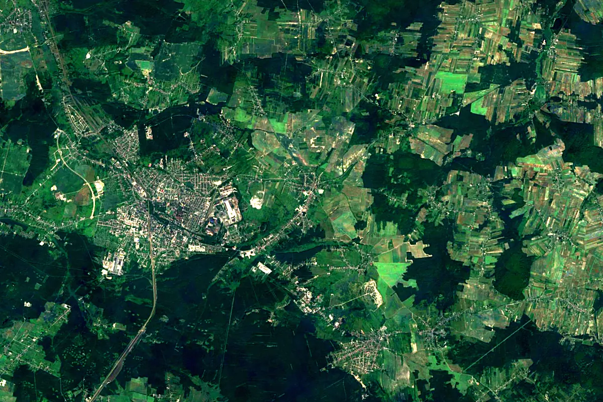
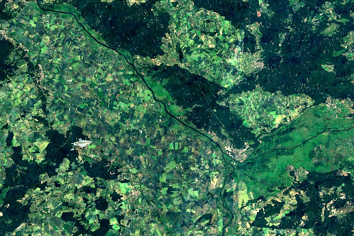
Sentinel-2 cloudless 2016 by EOX IT Services GmbH (contains modified Copernicus Sentinel data 2016), CC BY 4.0. The glowing line is the river as drawn by RiverATLAS.
Photos
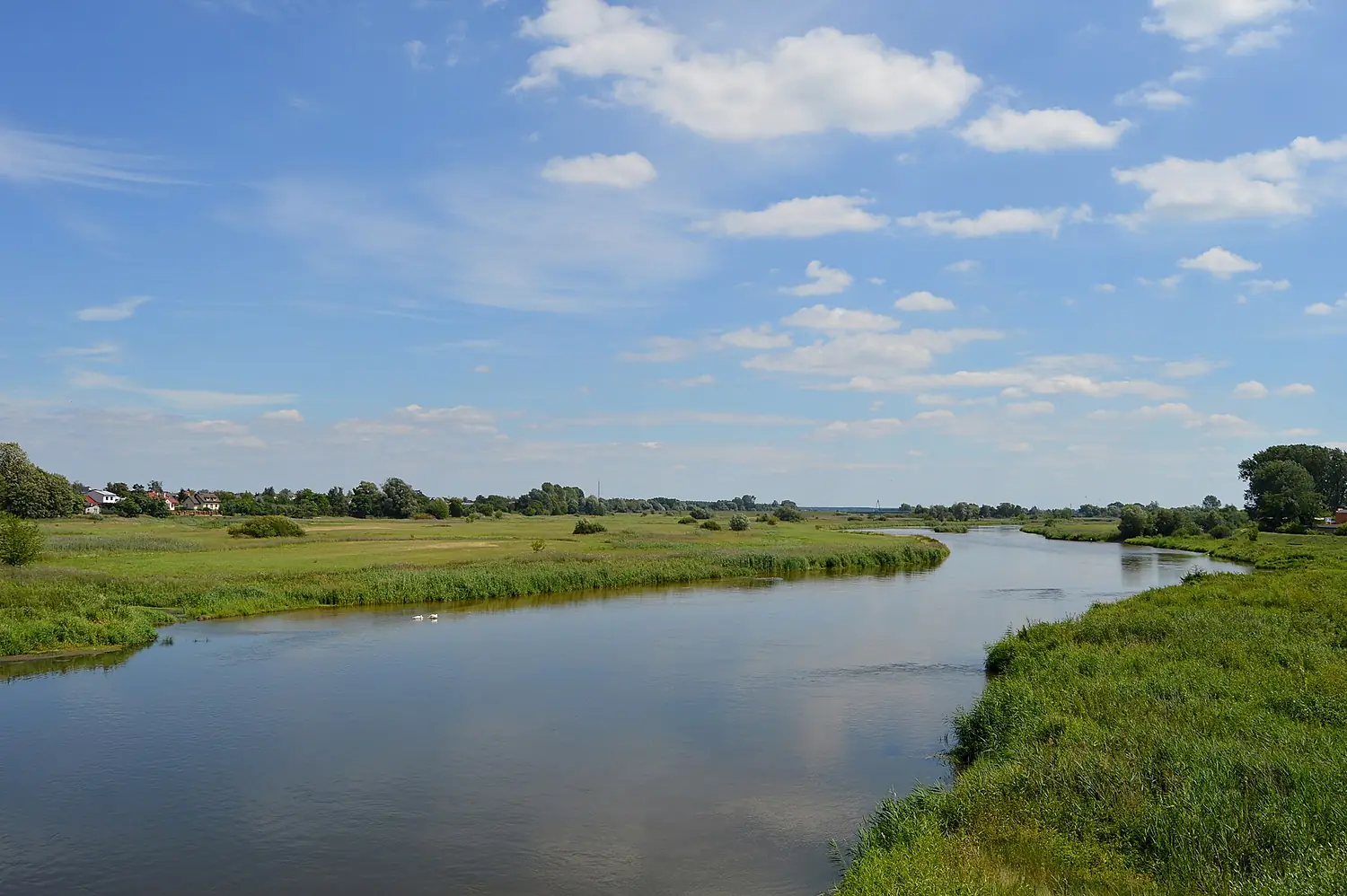
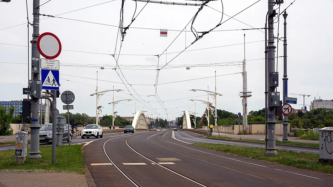
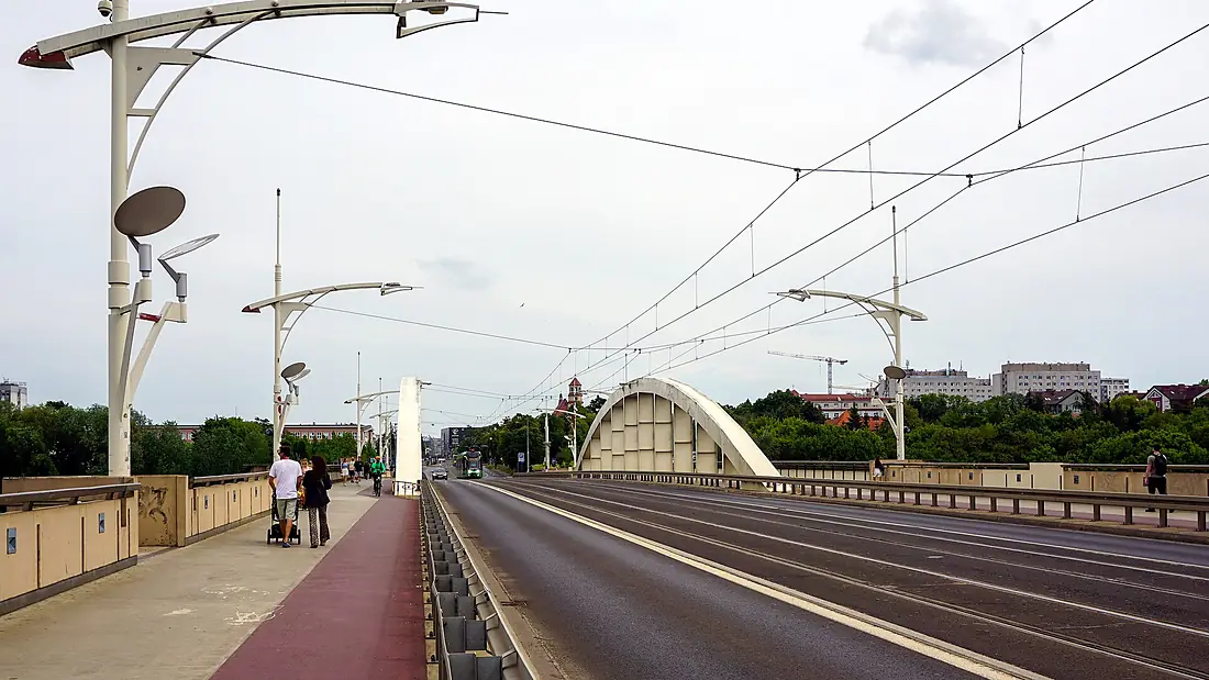
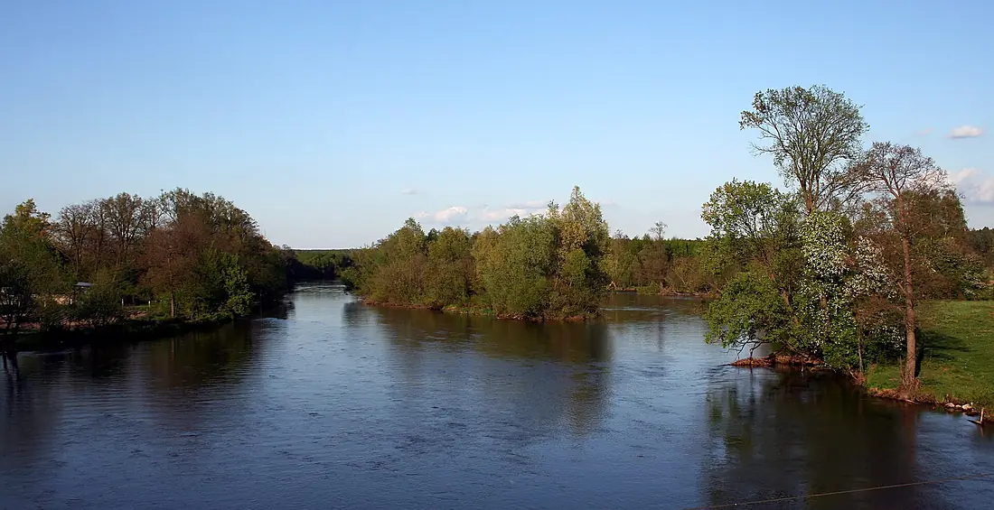
Warta in pictures
Tributaries
Where it flows, and what flows into it
It flows into
OderPoland854 km480 m³/sTributaries (30)
Poland388 km210 m³/sjoins at km 626ObraPoland253 km10 m³/sjoins at km 595ProsnaPoland216 km18 m³/sjoins at km 358NerPoland134 km10 m³/sjoins at km 278Also: Wełna, Liswarta, Widawka, Cybina, Samica Kierska, Stradomka, Kiełbaska, Moskawa, Oleśnica, Wrześnica River, Postomia, Trojanka, Sama, Samica Stęszewska, Ordon, Bogdanka, Główna, Rgilewka, Żeglina, Meszna, Kamieniczka, Kamionka, Kończak, Kopel
 Germany
 Czechia
Nearby
Rivers nearby
Where these numbers come from
| Name, length, places | Wikidata (Q201823) · CC0 |
|---|---|
| Course, profile, basin | RiverATLAS v1.0 (HydroATLAS, Linke et al. 2019) · CC BY 4.0 — followed from the source to the mouth given by Wikidata |
| Flow | WaterGAP (RiverATLAS), 1971–2000 · CC BY 4.0 |
| Climate along the river | WorldClim (RiverATLAS), 1970–2000 · CC BY 4.0 |
| Towns, bridges, dams | Wikidata · CC0; GeoNames · CC BY 4.0 |
| Along the river | © OpenStreetMap contributors · ODbL |
| Images | EOX Sentinel-2 cloudless 2016 · CC BY 4.0; Wikimedia Commons |
| Our other atlases | Lakeyas, Peakyas — Wikidata · CC0; © OpenStreetMap contributors · ODbL; GeoNames · CC BY 4.0; HydroLAKES · CC BY 4.0; NOAA OISST |
Every source and licence is on the data sources page.
The family
Do you prefer beaches, lakes, mountains, waterfalls, islands, rivers or canyons?
Same idea, other landscapes: field atlases built on open data, month by month, in seven languages.
 beaches
 Find your beach: sea temperature, sun and swimming month by month.Visit lakes
 Every lake on Earth: water temperature, ice, depth and the shore.Coming soonVisit mountains
 Every summit in 3D: summit weather, the 0 °C line, huts and trails.Visit
  waterfalls
 Every waterfall: height, flow month by month and when it roars.Coming soonVisit
  islands
 Every island from the sea up: size, sea temperature, ferries and 3D.Coming soonVisit
  rivers
 Every river from source to sea: the journey, the flow and the basin in numbers.You are here
 canyons
 Every canyon cut to scale: depth to the floor, rim and floor temperatures, trails and viewpoints.Coming soonVisit