River
Aube
248 km from source to mouth · France.
 FranceFlows into Seine
In numbers
Length
248km
Average flow
41m³/s
Basin
4,595km²
Drop
242m
from 308 m to 66 m
Country
1
The journey
From source to mouth
248 km of river and 68 stops on the way: 65 towns and cities on its banks, dams, bridges and the tributaries that feed it.
- 0 kmLangres Plateauat 308 m
- 0 kmAuberive166 people
- 3 kmAulnoy-sur-Aube51 people
- 13 kmCascade d'Étufs
- 21 kmAubepierre-sur-Aube180 people
- 28 kmDancevoir198 people
- 36 kmBoudreville58 people
- 38 kmLatrecey-Ormoy-sur-Aube268 people
- 41 kmVeuxhaulles-sur-Aube216 people
- 44 kmMontigny-sur-Aube261 people
- 49 kmGevrolles162 people
- 67 kmLaferté-sur-Aube306 people
- 70 kmJuvancourt102 people
- 71 kmVille-sous-la-Ferté906 people
- 76 kmLongchamp-sur-Aujon361 people
- 85 kmAujontributary
- 86 kmBayel738 people
- 86 kmLignol-le-Château155 people
- 94 kmFontaine246 people
- 96 kmBar-sur-Aube4,665 people
- 97 kmProverville217 people
- 101 kmAilleville223 people
- 104 kmMontier-en-l'Isle213 people
- 105 kmArsonval290 people
- 105 kmJaucourt138 people
- 108 kmDolancourt124 people
- 112 kmBossancourt193 people
- 115 kmJessains251 people
- 115 kmTrannes194 people
- 122 kmUnienville109 people
- 126 kmDienville813 people
- 130 kmBrienne-la-Vieille378 people
- 131 kmBrienne-le-Château2,672 people
- 132 kmSaint-Léger-sous-Brienne373 people
- 134 kmRadonvilliers320 people
- 136 kmMathaux219 people
- 140 kmÉpagne126 people
- 140 kmBlaincourt-sur-Aube97 people
- 144 kmPrécy-Saint-Martin177 people
- 144 kmPrécy-Notre-Dame66 people
- 148 kmLesmont298 people
- 150 kmVoiretributary
- 150 kmChalette-sur-Voire134 people
- 152 kmMolins-sur-Aube102 people
- 154 kmMagnicourt83 people
- 160 kmCoclois170 people
- 160 kmBrillecourt91 people
- 162 kmDommartin-le-Coq49 people
- 166 kmNogent-sur-Aube313 people
- 170 kmRamerupt417 people
- 171 kmChaudrey139 people
- 174 kmIsle-Aubigny166 people
- 175 kmVaupoisson132 people
- 177 kmVinets191 people
- 180 kmSaint-Nabord-sur-Aube140 people
- 185 kmLe Chêne277 people
- 186 kmTorcy-le-Grand433 people
- 189 kmArcis-sur-Aube2,785 people
- 193 kmVillette-sur-Aube253 people
- 194 kmOrmes163 people
- 198 kmPouan-les-Vallées498 people
- 199 kmChampigny-sur-Aube90 people
- 202 kmViâpres-le-Petit119 people
- 211 kmPlancy-l'Abbaye960 people
- 216 kmBoulages224 people
- 217 kmLongueville-sur-Aube134 people
- 221 kmÉtrelles-sur-Aube158 people
- 229 kmAnglure777 people
- 242 kmMarcilly-sur-Seine622 people
- 248 kmSeineat 66 m
Water level along the river (RiverATLAS; the height is exaggerated). Towns: GeoNames and Wikidata; bridges, dams and tributaries: Wikidata.
River in France
At the mouth it carries 41 m³/s on average: an Olympic pool every 61 seconds. It drops from 308 m to 66 m, 1.0 m per kilometre on average. Its basin covers 4,595 km², about the size of TT. 310,000 people live in it. Highest water: from December to February. Dams and reservoirs hold back a large share of its water (20% of a year's flow).
Where to start
- Bar-sur-AubeLargest city on its banks · 4,665 people
- Chalons Vatry airport (XCR)Nearest airport with scheduled flights, 70 km from the cityCar hire at ETZ airport (Goin)Discover Cars · Affiliate link↗
- On the water5 ferry piers, marinas, boat rentals and boat ramps along the river (OpenStreetMap)
- From May to SeptemberThe best months to visit
Aube, month by month
Highest water: from December to February
Best months to visit: from May to September.
From about 23 m³/s in the lowest month to 100 m³/s in the highest. An estimate: the monthly flow is modelled from the lowest and highest months of WaterGAP (RiverATLAS, 1971–2000) and the rain and snow along the river (WorldClim). Dams change the real rhythm. The chip is the average air temperature; below it, the month's rain.
Plan the trip
Plan the trip: boat trips, a bed by the river, a car
Some links above are affiliate links: if you book through them we may earn a commission, at no extra cost to you. It never changes what the data on this page says.
The basin
Aube: the basin in numbers
8,608 km² of land send their water to this river. This is what lives on it.
- 310,000people live in the basin
- 36/km²people per km²
- 221maverage altitude of the basin
- 714mmof rain a year (basin average)
- 10.0°Caverage air temperature
- 10%protected areas
- 0.5%covered by lakes
- 0.4km³held in reservoirs
What covers the basin
- 15% Forest
- 54% Cropland
- 9% Pasture
- 1% Towns and cities
RiverATLAS (HydroATLAS v1.0, CC BY 4.0): land cover, people, protected areas, glaciers and dams over the whole basin upstream of the mouth.
Along the river
Aube: what you find on the way
- 13Weirs
- 12LocksCanal de la Haute Seine, Canal de Dérivation de Bernières à Conflans and 10 more
- 1WaterfallsCascades d'Étufs
- 4Boat ramps
- 1Marinas
- 1River beachesPlage de Dienville
From OpenStreetMap, within 1.8 km of the river. Not mapped is not the same as not there.
Cross-checked with our atlases
Aube in our other atlases
What our sister atlases know about the waterfalls on this river, the lakes it flows through, the beaches at its mouth, the mountains where it rises and the islands off its mouth.
 1waterfall on the riverCascadyas
 2mountains at the sourcePeakyas
Waterfalls (1)
On the river, by Cascadyas
- Cascade d'Étufskm 10
Cascadyas is coming soonOpen Cascadyas ↗
Mountains at the source (2)
Within 15 km of the source, by Peakyas
- Haut de Baissey6.4 km away523m
- Le Maumont13 km away
From space
The source and the mouth, seen from orbit
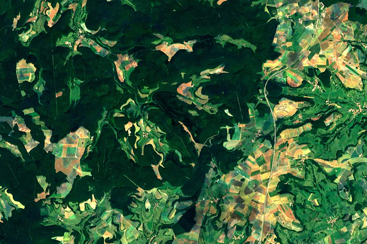
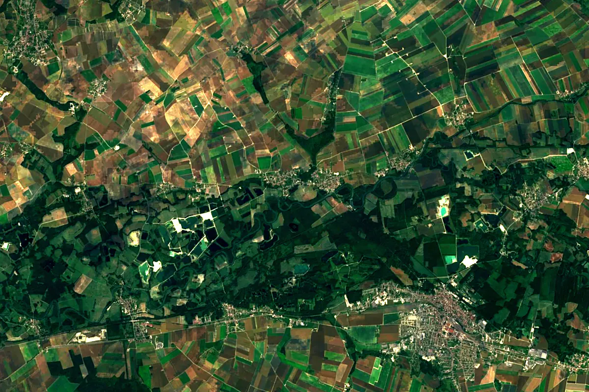
Sentinel-2 cloudless 2016 by EOX IT Services GmbH (contains modified Copernicus Sentinel data 2016), CC BY 4.0. The glowing line is the river as drawn by RiverATLAS.
Photos
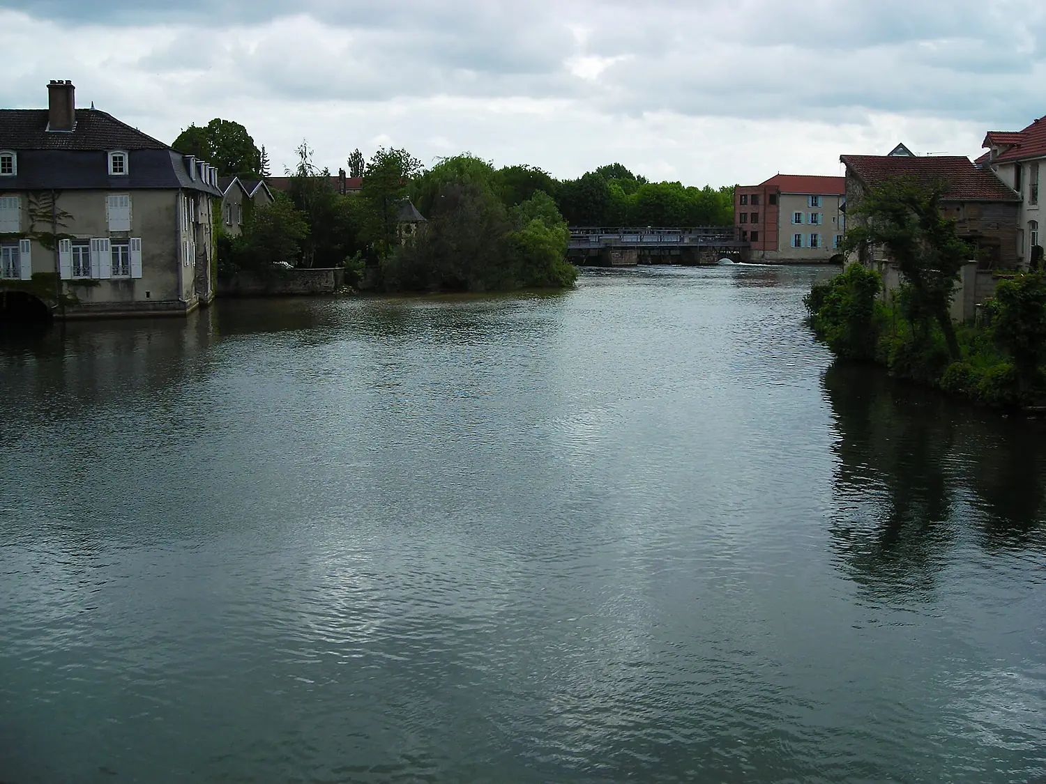
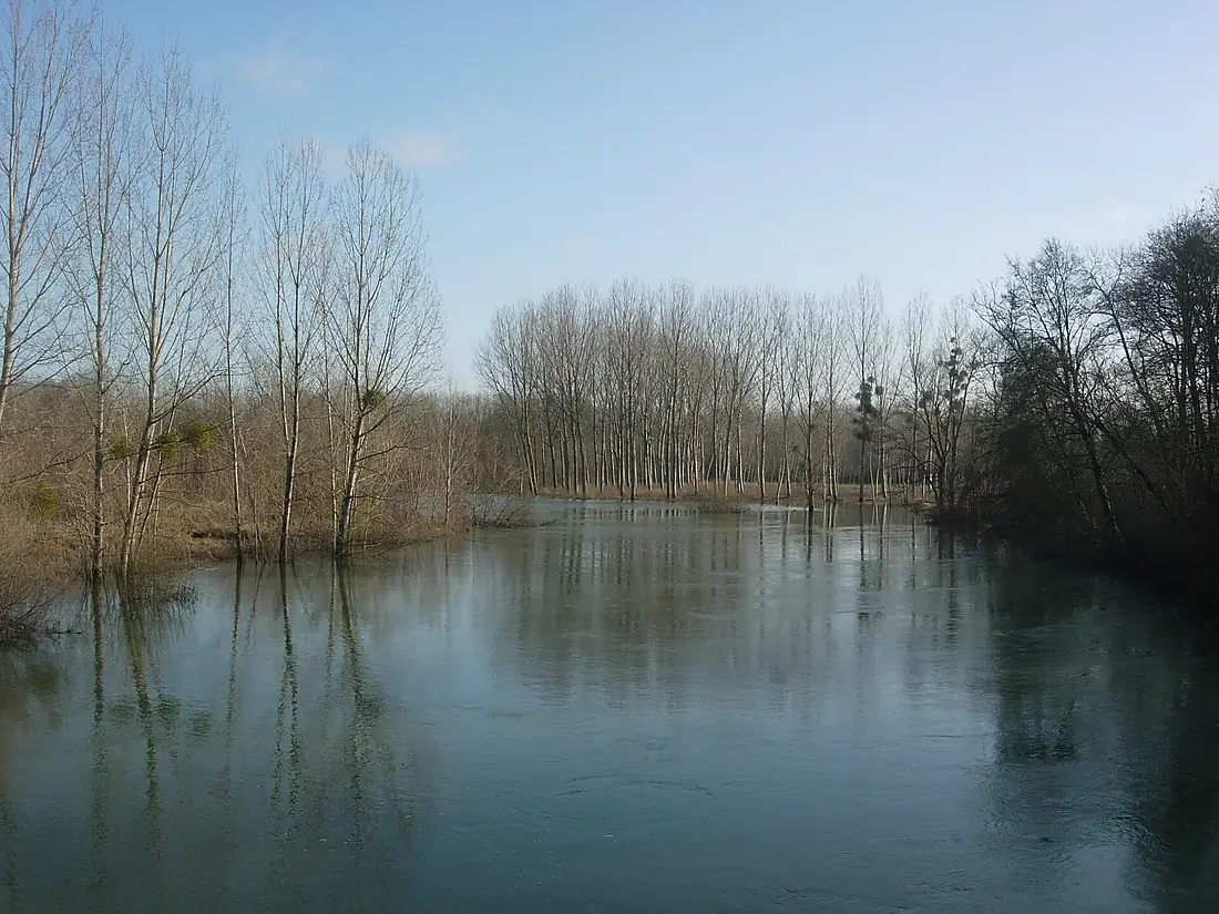
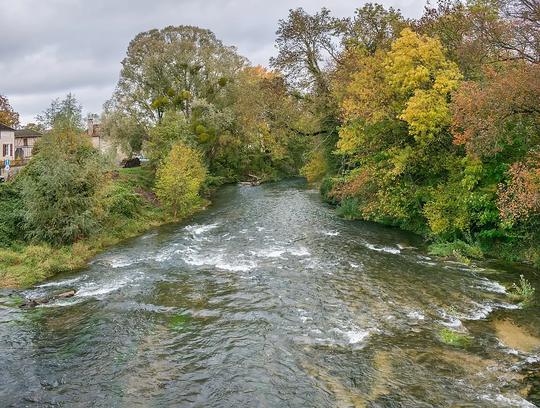
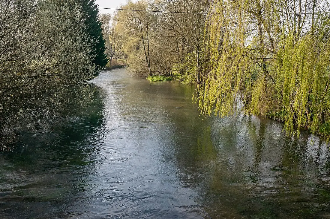
Aube in pictures
Tributaries
Where it flows, and what flows into it
It flows into
SeineFrance777 km500 m³/sTributaries (10)
Also: Aujon, Voire, Auzon, Barbuise, Aubette, Huitrelle, Herbissonne, Superbe, Landion, Ruisseau le Ravet
Nearby
Rivers nearby
Where these numbers come from
| Name, length, places | Wikidata (Q548466) · CC0 |
|---|---|
| Course, profile, basin | RiverATLAS v1.0 (HydroATLAS, Linke et al. 2019) · CC BY 4.0 — followed from the source to the mouth given by Wikidata |
| Flow | WaterGAP (RiverATLAS), 1971–2000 · CC BY 4.0 |
| Climate along the river | WorldClim (RiverATLAS), 1970–2000 · CC BY 4.0 |
| Towns, bridges, dams | Wikidata · CC0; GeoNames · CC BY 4.0 |
| Along the river | © OpenStreetMap contributors · ODbL |
| Images | EOX Sentinel-2 cloudless 2016 · CC BY 4.0; Wikimedia Commons |
| Our other atlases | Cascadyas, Peakyas — Wikidata · CC0; © OpenStreetMap contributors · ODbL; GeoNames · CC BY 4.0; HydroLAKES · CC BY 4.0; NOAA OISST |
Every source and licence is on the data sources page.
The family
Do you prefer beaches, lakes, mountains, waterfalls, islands, rivers or canyons?
Same idea, other landscapes: field atlases built on open data, month by month, in seven languages.
 beaches
 Find your beach: sea temperature, sun and swimming month by month.Visit
  lakes
lakes Every lake on Earth: water temperature, ice, depth and the shore.Coming soonVisit mountains
 Every summit in 3D: summit weather, the 0 °C line, huts and trails.Visit waterfalls
 Every waterfall: height, flow month by month and when it roars.Coming soonVisit
  islands
 Every island from the sea up: size, sea temperature, ferries and 3D.Coming soonVisit
  rivers
 Every river from source to sea: the journey, the flow and the basin in numbers.You are here
 canyons
 Every canyon cut to scale: depth to the floor, rim and floor temperatures, trails and viewpoints.Coming soonVisit