River
Armançon
202 km from source to mouth · France.
 FranceFlows into Yonne
In numbers
Length
202km
Average flow
30m³/s
Basin
3,077km²
Drop
171m
from 249 m to 78 m
Country
1
The journey
From source to mouth
202 km of river and 68 stops on the way: 66 towns and cities on its banks, dams, bridges and the tributaries that feed it.
- 0 kmEsseyat 249 m
- 0 kmÉguilly72 people
- 0 kmBeurizot107 people
- 0 kmGissey-le-Vieil104 people
- 0 kmSaint-Thibault152 people
- 0 kmNormier63 people
- 1 kmClamerey187 people
- 2 kmMarcigny-sous-Thil56 people
- 5 kmMontigny-sur-Armançon158 people
- 5 kmBrianny102 people
- 7 kmLe Val-Larrey275 people
- 16 kmPont-et-Massène187 people
- 23 kmSemur-en-Auxois3,986 people
- 28 kmMillery410 people
- 28 kmGenay370 people
- 42 kmMontbard5,737 people
- 46 kmVillaines-les-Prévôtes140 people
- 46 kmSenailly132 people
- 46 kmAthie82 people
- 46 kmViserny182 people
- 48 kmSaint-Germain-lès-Senailly111 people
- 50 kmSaint-Rémy673 people
- 51 kmQuincy-le-Vicomte207 people
- 51 kmQuincerot77 people
- 53 kmBrennetributary
- 53 kmBuffon152 people
- 58 kmRougemont143 people
- 60 kmAisy-sur-Armançon232 people
- 64 kmPerrigny-sur-Armançon123 people
- 67 kmCry157 people
- 75 kmNuits362 people
- 75 kmRavières735 people
- 82 kmFulvy128 people
- 82 kmVilliers-les-Hauts124 people
- 85 kmChassignelles289 people
- 87 kmAncy-le-Franc834 people
- 93 kmArgenteuil-sur-Armançon219 people
- 96 kmPacy-sur-Armançon178 people
- 99 kmVireaux97 people
- 102 kmLézinnes666 people
- 106 kmAncy-le-Libre137 people
- 108 kmArgentenay82 people
- 118 kmTanlay897 people
- 121 kmSaint-Martin-sur-Armançon138 people
- 131 kmTonnerre4,261 people
- 135 kmJunay61 people
- 138 kmDannemoine452 people
- 138 kmVézinnes158 people
- 140 kmCheney235 people
- 141 kmTronchoy119 people
- 144 kmRoffey148 people
- 144 kmBernouil109 people
- 147 kmMarolles-sous-Lignières371 people
- 151 kmFlogny-la-Chapelle935 people
- 156 kmVilliers-Vineux288 people
- 158 kmPercey248 people
- 160 kmJaulges418 people
- 161 kmButteaux264 people
- 164 kmChéu522 people
- 165 kmGermigny530 people
- 170 kmArmancetributary
- 172 kmSaint-Florentin4,164 people
- 175 kmVergigny1,486 people
- 184 kmMont-Saint-Sulpice781 people
- 188 kmBrienon-sur-Armançon3,032 people
- 192 kmEsnon375 people
- 195 kmOrmoy638 people
- 199 kmCheny2,206 people
- 201 kmMigennes6,688 people
- 202 kmYonneat 78 m
Water level along the river (RiverATLAS; the height is exaggerated). Towns: GeoNames and Wikidata; bridges, dams and tributaries: Wikidata.
River in France
At the mouth it carries 30 m³/s on average: an Olympic pool every 83 seconds. It drops from 249 m to 78 m, 0.8 m per kilometre on average. Its basin covers 3,077 km², about the size of LU. 89,000 people live in it. Highest water: from December to February. No large dam holds it back: it is one of the world's free-flowing rivers.
Where to start
- MigennesLargest city on its banks · 6,688 people
- Chalons Vatry airport (XCR)Nearest airport with scheduled flights, 103 km from the cityCar hire at ORY airport (Paris)Discover Cars · Affiliate link↗
- On the water25 ferry piers, marinas, boat rentals and boat ramps along the river (OpenStreetMap)
- From May to SeptemberThe best months to visit
Armançon, month by month
Highest water: from December to February
Best months to visit: from May to September.
From about 7.9 m³/s in the lowest month to 38 m³/s in the highest. An estimate: the monthly flow is modelled from the lowest and highest months of WaterGAP (RiverATLAS, 1971–2000) and the rain and snow along the river (WorldClim). Dams change the real rhythm. The chip is the average air temperature; below it, the month's rain.
Plan the trip
Plan the trip: boat trips, a bed by the river, a car
Some links above are affiliate links: if you book through them we may earn a commission, at no extra cost to you. It never changes what the data on this page says.
The basin
Armançon: the basin in numbers
3,079 km² of land send their water to this river. This is what lives on it.
- 89,000people live in the basin
- 29/km²people per km²
- 276maverage altitude of the basin
- 758mmof rain a year (basin average)
- 10.2°Caverage air temperature
- 0.1%covered by lakes
What covers the basin
- 10% Forest
- 42% Cropland
- 17% Pasture
RiverATLAS (HydroATLAS v1.0, CC BY 4.0): land cover, people, protected areas, glaciers and dams over the whole basin upstream of the mouth.
Along the river
Armançon: what you find on the way
- 48WeirsCascades de Germigny and 47 more
- 227LocksCanal de Bourgogne and 226 more
- 6Boat ramps
- 17MarinasHalte Nautique de Pouillenay, Port de Pouillenay, Port de Venarey and 14 more
- 1River beachesMigennes Plage
From OpenStreetMap, within 1.5 km of the river. Not mapped is not the same as not there.
Cross-checked with our atlases
Armançon in our other atlases
What our sister atlases know about the waterfalls on this river, the lakes it flows through, the beaches at its mouth, the mountains where it rises and the islands off its mouth.
 2mountains at the sourcePeakyas
Mountains at the source (2)
Within 15 km of the source, by Peakyas
- Mont Auxois13 km away
- Saint-Beury7.4 km away
From space
The source and the mouth, seen from orbit
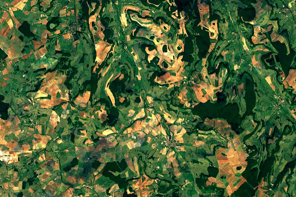
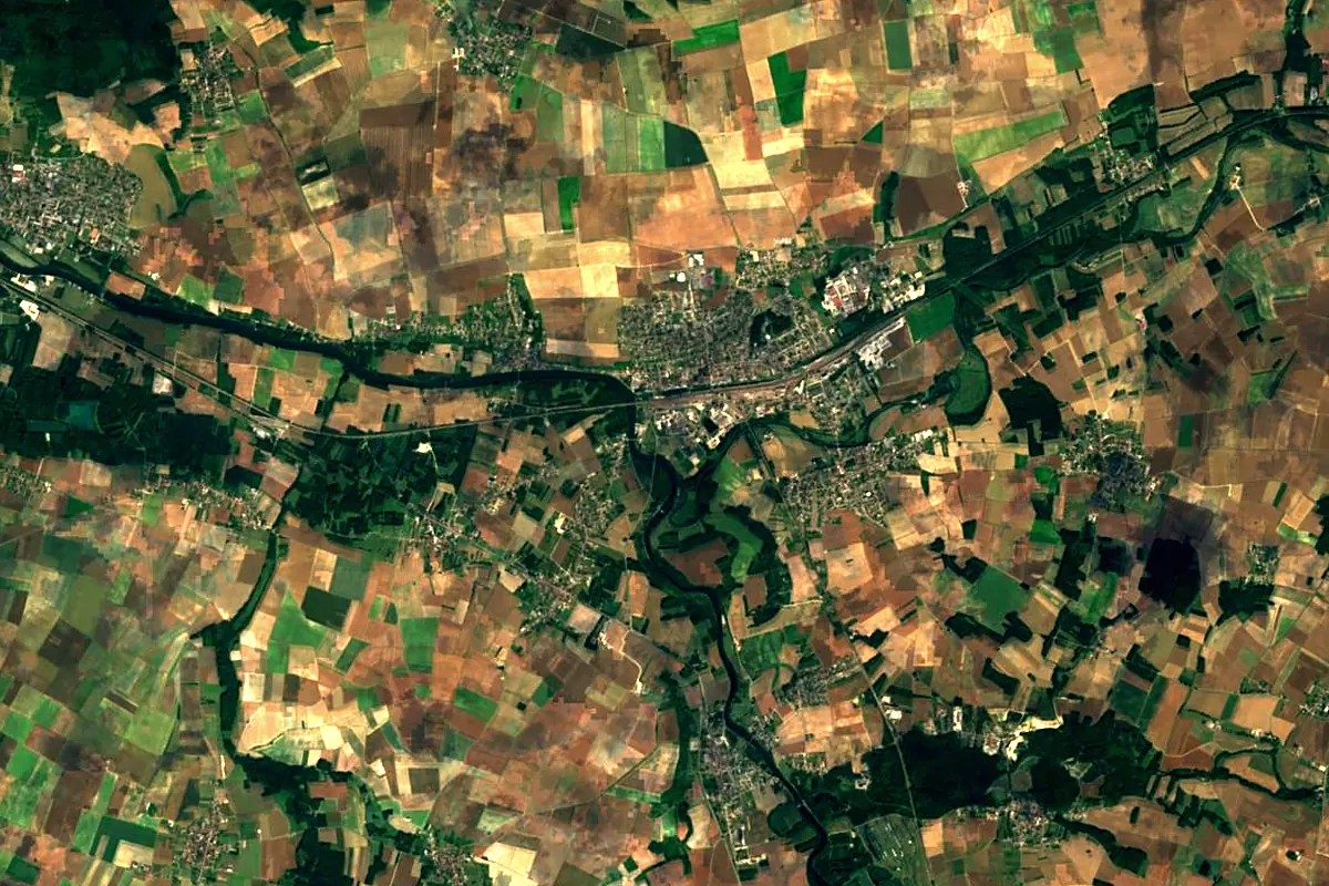
Sentinel-2 cloudless 2016 by EOX IT Services GmbH (contains modified Copernicus Sentinel data 2016), CC BY 4.0. The glowing line is the river as drawn by RiverATLAS.
Photos
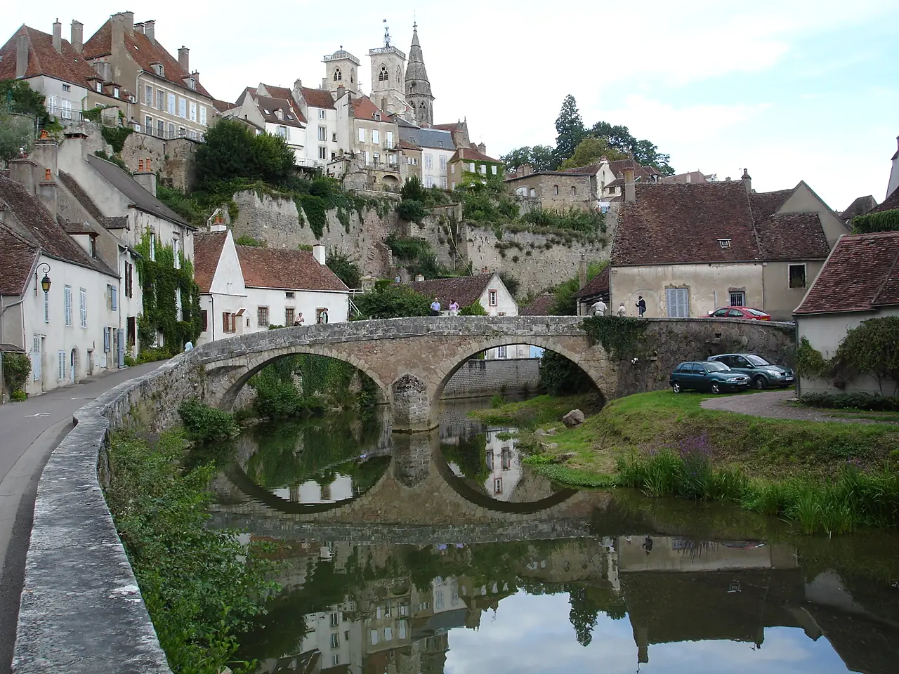
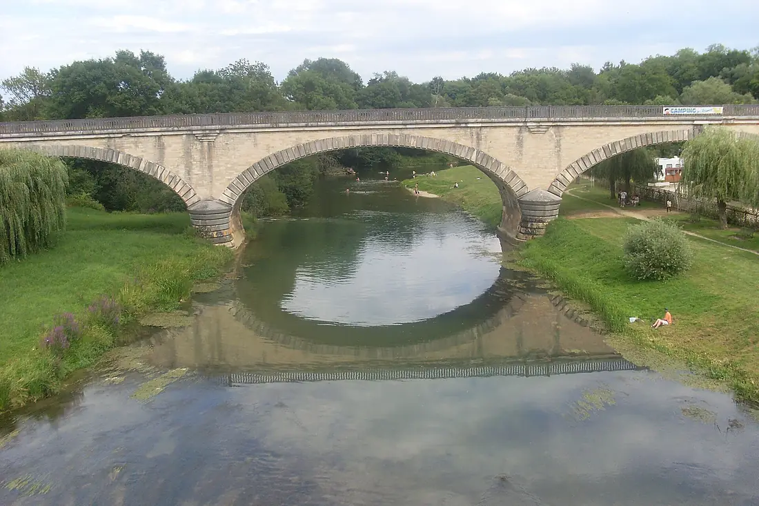
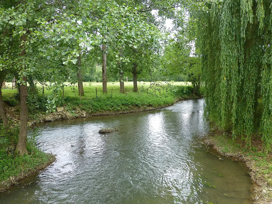
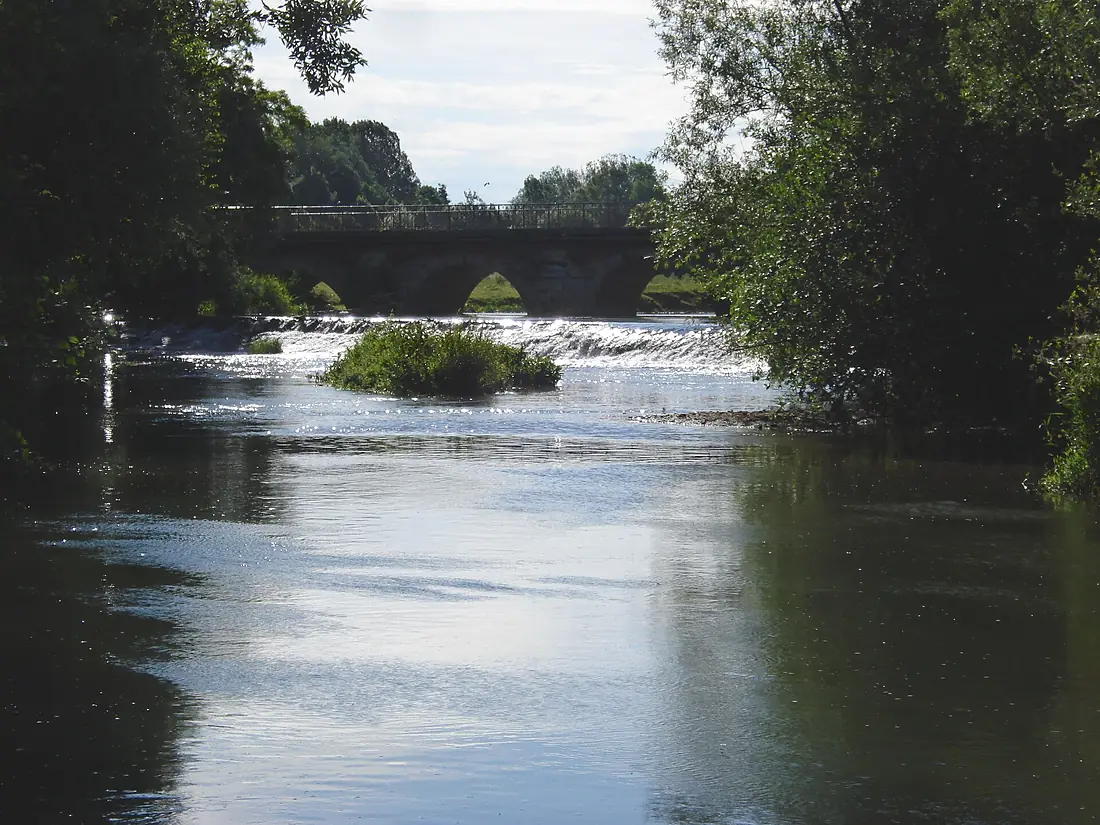
Armançon in pictures
Tributaries
Where it flows, and what flows into it
It flows into
YonneFrance292 km100 m³/sTributaries (4)
Also: Brenne, Armance, Cléon, Créanton
Nearby
Rivers nearby
Where these numbers come from
| Name, length, places | Wikidata (Q679050) · CC0 |
|---|---|
| Course, profile, basin | RiverATLAS v1.0 (HydroATLAS, Linke et al. 2019) · CC BY 4.0 — followed along the river network from the point given by Wikidata |
| Flow | WaterGAP (RiverATLAS), 1971–2000 · CC BY 4.0 |
| Climate along the river | WorldClim (RiverATLAS), 1970–2000 · CC BY 4.0 |
| Towns, bridges, dams | Wikidata · CC0; GeoNames · CC BY 4.0 |
| Along the river | © OpenStreetMap contributors · ODbL |
| Images | EOX Sentinel-2 cloudless 2016 · CC BY 4.0; Wikimedia Commons |
| Our other atlases | Peakyas — Wikidata · CC0; © OpenStreetMap contributors · ODbL; GeoNames · CC BY 4.0; HydroLAKES · CC BY 4.0; NOAA OISST |
Every source and licence is on the data sources page.
The family
Do you prefer beaches, lakes, mountains, waterfalls, islands, rivers or canyons?
Same idea, other landscapes: field atlases built on open data, month by month, in seven languages.
 beaches
 Find your beach: sea temperature, sun and swimming month by month.Visit
  lakes
lakes Every lake on Earth: water temperature, ice, depth and the shore.Coming soonVisit mountains
 Every summit in 3D: summit weather, the 0 °C line, huts and trails.Visit
  waterfalls
 Every waterfall: height, flow month by month and when it roars.Coming soonVisit
  islands
 Every island from the sea up: size, sea temperature, ferries and 3D.Coming soonVisit
  rivers
 Every river from source to sea: the journey, the flow and the basin in numbers.You are here
 canyons
 Every canyon cut to scale: depth to the floor, rim and floor temperatures, trails and viewpoints.Coming soonVisit