River
Durance
324 km from source to mouth · France.
 FranceFlows into Rhône
In numbers
Length
324km
Average flow
180m³/s
Basin
14,225km²
Drop
1,185m
from 1,201 m to 16 m
Country
1
The journey
From source to mouth
324 km of river and 68 stops on the way: 47 towns and cities on its banks, dams, bridges and the tributaries that feed it.
- 0 kmSommet des Angesat 1,201 m
- 9 kmBriançon11,411 people
- 9 kmClaréetributary
- 9 kmGuisanetributary
- 23 kmL'Argentière-la-Bessée2,288 people
- 27 kmFourneltributary
- 39 kmGuillestre2,295 people
- 44 kmGuiltributary
- 48 kmChâteauroux-les-Alpes1,234 people
- 56 kmEmbrun6,412 people
- 58 kmVachèrestributary
- 58 kmCrévouxtributary
- 66 kmRéallontributary
- 73 kmChorges3,146 people
- 78 kmUbayetributary
- 80 kmLac de Serre-Ponçon18 km²
- 103 kmTallard2,292 people
- 114 kmRousinetributary
- 139 kmSassetributary
- 145 kmBuëchtributary
- 147 kmSisteron7,850 people
- 150 kmVançontributary
- 153 kmPeipin1,506 people
- 154 kmJabrontributary
- 154 kmAubignosc616 people
- 155 kmRiou de Jabrontributary
- 159 kmVolonne1,633 people
- 161 kmChâteau-Arnoux-Saint-Auban5,107 people
- 162 kmL'Escale1,427 people
- 167 kmBléonetributary
- 170 kmLes Mées4,099 people
- 172 kmPeyruis2,798 people
- 184 kmLa Brillanne1,121 people
- 185 kmOraison6,155 people
- 188 kmVilleneuve4,360 people
- 192 kmVolx3,243 people
- 192 kmAssetributary
- 192 kmValensole3,137 people
- 200 kmManosque22,718 people
- 204 kmGréoux-les-Bains3,084 people
- 206 kmSainte-Tulle3,558 people
- 209 kmCorbières-en-Provence1,317 people
- 216 kmVerdontributary
- 229 kmJouques4,547 people
- 231 kmPeyrolles-en-Provence5,409 people
- 236 kmMeyrargues3,847 people
- 239 kmPertuis19,548 people
- 245 kmLe Puy-Sainte-Réparade5,935 people
- 247 kmÈzetributary
- 255 kmCadenet4,363 people
- 258 kmLa Roque-d'Anthéron5,459 people
- 259 kmLauris3,921 people
- 260 kmAigue Bruntributary
- 265 kmCharleval2,640 people
- 271 kmMallemort6,166 people
- 279 kmSénas6,925 people
- 285 kmCheval-Blanc4,362 people
- 286 kmOrgon2,762 people
- 290 kmCavaillon25,636 people
- 291 kmPlan-d'Orgon3,573 people
- 295 kmCalavontributary
- 299 kmCabannes4,595 people
- 300 kmCaumont-sur-Durance5,667 people
- 304 kmNoves6,080 people
- 307 kmChâteaurenard16,545 people
- 314 kmRognonas4,261 people
- 314 kmAvignon92,188 people
- 318 kmLes Angles8,908 people
- 319 kmBarbentane4,266 people
- 324 kmRhôneat 16 m
Water level along the river (RiverATLAS; the height is exaggerated). Towns: GeoNames and Wikidata; bridges, dams and tributaries: Wikidata.
Major river in southeastern France
At the mouth it carries 180 m³/s on average: an Olympic pool every 14 seconds. It drops from 1,201 m to 16 m, 3.7 m per kilometre on average. Its basin covers 14,225 km², about the size of ME. 598,000 people live in it. Highest water: from November to January; lowest: August. Dams and reservoirs hold back a large share of its water (45% of a year's flow).
Where to start
- AvignonLargest city on its banks · 92,188 people
- Avignon Caumont airport (AVN)Nearest airport with scheduled flights, 9 km from the cityCar hire at FNI airport (Nîmes/Garons)Discover Cars · Affiliate link↗
- On the water61 ferry piers, marinas, boat rentals and boat ramps along the river (OpenStreetMap)
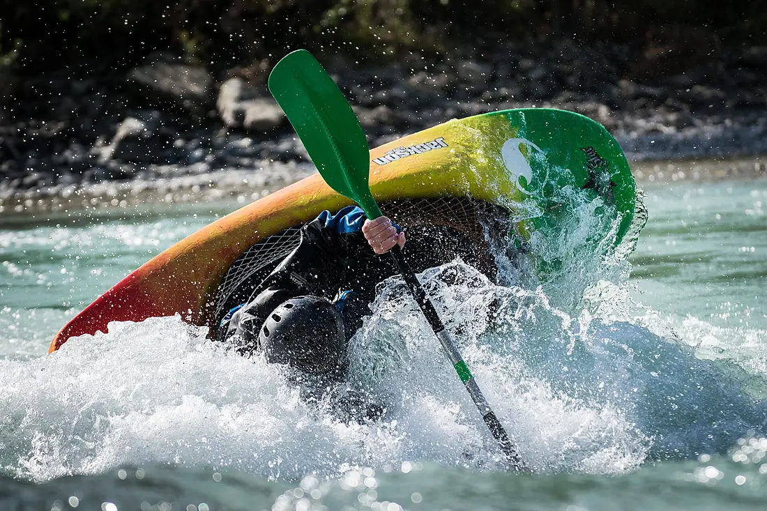
- Kayak and canoe7 put-ins and rapids mapped (OpenStreetMap)
- From May to SeptemberThe best months to visit
Durance, month by month
Highest water: from November to January
Lowest water: August. Best months to visit: from May to September.
From about 36 m³/s in the lowest month to 290 m³/s in the highest. An estimate: the monthly flow is modelled from the lowest and highest months of WaterGAP (RiverATLAS, 1971–2000) and the rain and snow along the river (WorldClim). Dams change the real rhythm. The chip is the average air temperature; below it, the month's rain.
Plan the trip
Plan the trip: boat trips, a bed by the river, a car
Some links above are affiliate links: if you book through them we may earn a commission, at no extra cost to you. It never changes what the data on this page says.
The basin
Durance: the basin in numbers
14,276 km² of land send their water to this river. This is what lives on it.
- 598,000people live in the basin
- 42/km²people per km²
- 1,133maverage altitude of the basin
- 964mmof rain a year (basin average)
- 8.0°Caverage air temperature
- 42%protected areas
- 0.4%covered by lakes
- 2.3km³held in reservoirs
What covers the basin
- 51% Forest
- 13% Cropland
- 21% Pasture
- 2% Towns and cities
RiverATLAS (HydroATLAS v1.0, CC BY 4.0): land cover, people, protected areas, glaciers and dams over the whole basin upstream of the mouth.
Along the river
Durance: what you find on the way
- 56WeirsStation de Pompage and 55 more
- 16Locks
- 13WaterfallsFontaine pétrifiante de Réotier, Le Saut de Rolland and 11 more
- 2RapidsVague du Rabioux
- 5Canoe put-insUpper Durance Briançon Gorge and 4 more
- 33Boat ramps
- 2Ferry piers
- 19MarinasBase du Plan d'Eau CNASP, Base du Lac CNASP, Port Saint-Florent and 16 more
- 7River beachesL'Estang beach, Chanterenne, Plage naturiste des Pintrons and 4 more
From OpenStreetMap, within 1.9 km of the river. Not mapped is not the same as not there.
Cross-checked with our atlases
Durance in our other atlases
What our sister atlases know about the waterfalls on this river, the lakes it flows through, the beaches at its mouth, the mountains where it rises and the islands off its mouth.
 1lake on its wayLakeyas
 50mountains at the sourcePeakyas
Lakes and reservoirs (1)
Lakes it flows through, by Lakeyas
- Lac de Serre-Ponçonkm 76 · 90 m deep18km²
Lakeyas is coming soonOpen Lakeyas ↗
Mountains at the source (50)
Within 15 km of the source, by Peakyas
- Pic de Rochebrune9.5 km away · prominence 1,019 m3,324m
- Punta Merciantaira14 km away · prominence 479 m3,293m
- Mont Chaberton8.2 km away · prominence 1,281 m3,132m
- Roc del Boucher12 km away · prominence 182 m3,285m
- Cima del Pelvo14 km away · prominence 114 m3,264m
- Cima Clausi13 km away3,226m
- Pic de Petit Rochebrune12 km away · prominence 248 m3,078m
- Pic Lombard11 km away2,975m
42 more on PeakyasOpen Peakyas ↗
From space
The source and the mouth, seen from orbit
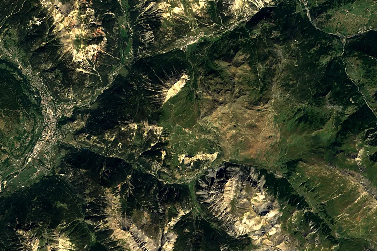
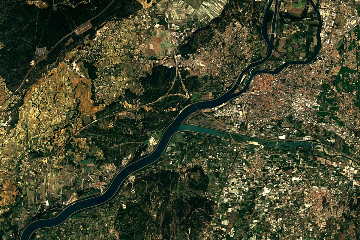
Sentinel-2 cloudless 2016 by EOX IT Services GmbH (contains modified Copernicus Sentinel data 2016), CC BY 4.0. The glowing line is the river as drawn by RiverATLAS.
Photos
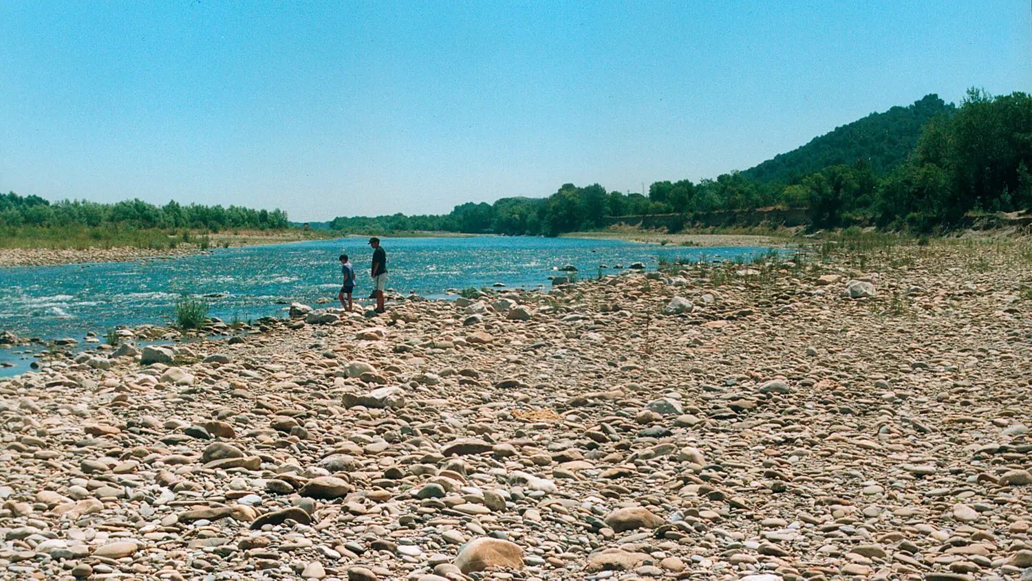
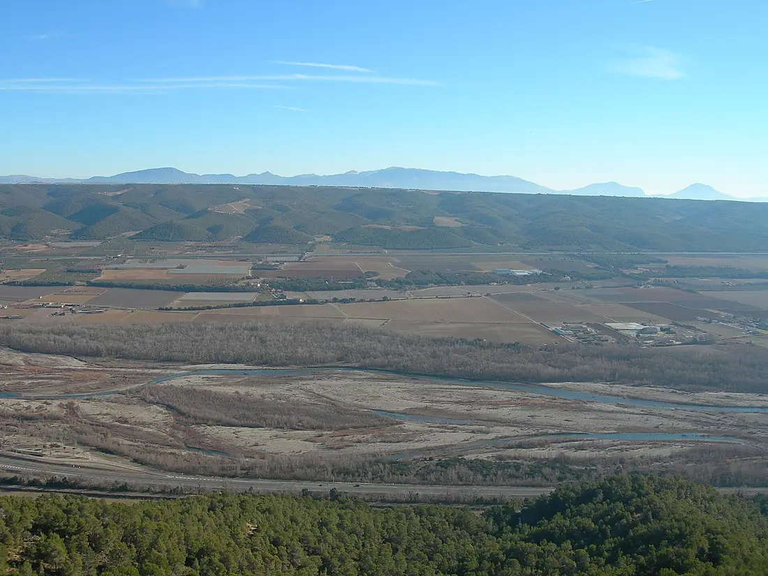
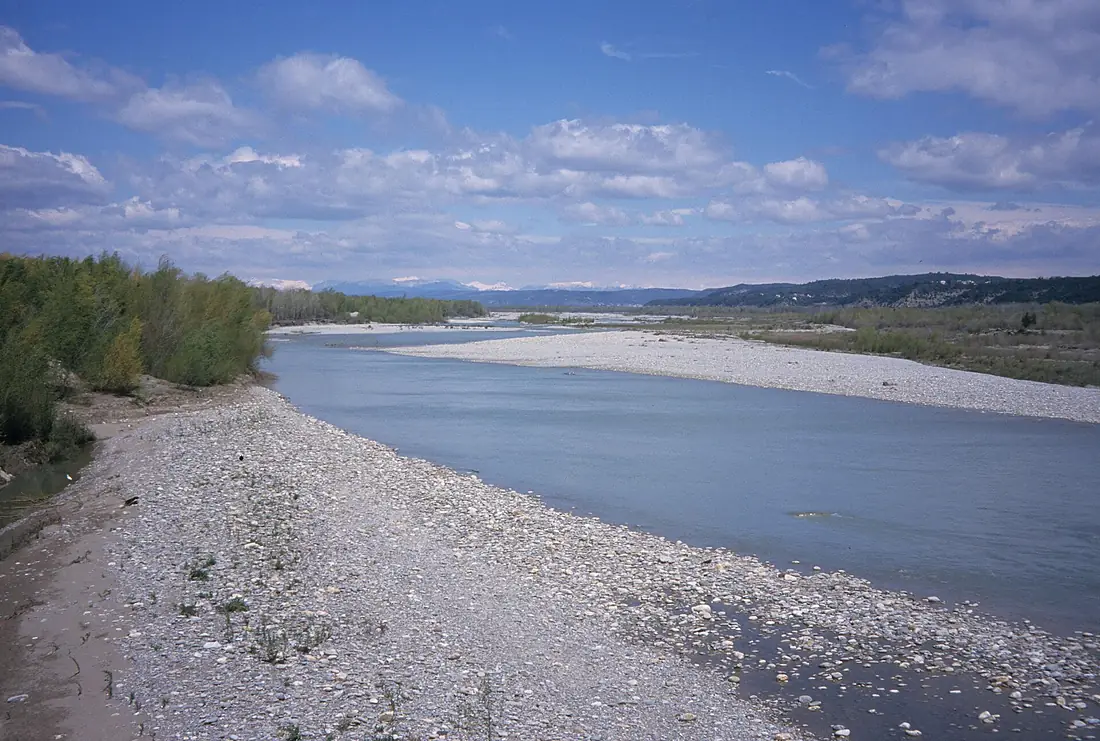
Durance in pictures
Tributaries
Where it flows, and what flows into it
It flows into
RhôneFrance812 km1,800 m³/sTributaries (31)
Also: Buëch, Bléone, Calavon, Ubaye, Guil, Clarée, Guisane, Asse, Avance, Èze, Jabron, Aigue Brun, Cerveyrette, Gyronde, Largue, Luye, Sasse, Vançon, Buès, Blanche, Lauzon, Rancure, Rousine, Vachères
 Switzerland
Nearby
Rivers nearby
Where these numbers come from
| Name, length, places | Wikidata (Q754718) · CC0 |
|---|---|
| Course, profile, basin | RiverATLAS v1.0 (HydroATLAS, Linke et al. 2019) · CC BY 4.0 — followed from the source to the mouth given by Wikidata |
| Flow | WaterGAP (RiverATLAS), 1971–2000 · CC BY 4.0 |
| Climate along the river | WorldClim (RiverATLAS), 1970–2000 · CC BY 4.0 |
| Towns, bridges, dams | Wikidata · CC0; GeoNames · CC BY 4.0 |
| Along the river | © OpenStreetMap contributors · ODbL |
| Images | EOX Sentinel-2 cloudless 2016 · CC BY 4.0; Wikimedia Commons |
| Our other atlases | Lakeyas, Peakyas — Wikidata · CC0; © OpenStreetMap contributors · ODbL; GeoNames · CC BY 4.0; HydroLAKES · CC BY 4.0; NOAA OISST |
Every source and licence is on the data sources page.
The family
Do you prefer beaches, lakes, mountains, waterfalls, islands, rivers or canyons?
Same idea, other landscapes: field atlases built on open data, month by month, in seven languages.
 beaches
 Find your beach: sea temperature, sun and swimming month by month.Visit lakes
 Every lake on Earth: water temperature, ice, depth and the shore.Coming soonVisit mountains
 Every summit in 3D: summit weather, the 0 °C line, huts and trails.Visit
  waterfalls
 Every waterfall: height, flow month by month and when it roars.Coming soonVisit
  islands
 Every island from the sea up: size, sea temperature, ferries and 3D.Coming soonVisit
  rivers
 Every river from source to sea: the journey, the flow and the basin in numbers.You are here
 canyons
 Every canyon cut to scale: depth to the floor, rim and floor temperatures, trails and viewpoints.Coming soonVisit