River
Ognon
214 km from source to mouth · France.
 FranceFlows into Saône
In numbers
Length
214km
Average flow
35m³/s
Basin
2,075km²
Drop
146m
from 329 m to 183 m
Country
1
The journey
From source to mouth
214 km of river and 68 stops on the way: 65 towns and cities on its banks, dams, bridges and the tributaries that feed it.
- 0 kmChâteau-Lambertat 329 m
- 0 kmHaut-du-Them-Château-Lambert449 people
- 0 kmBelonchamp207 people
- 0 kmTernuay-Melay-et-Saint-Hilaire438 people
- 5 kmSaint-Barthélemy1,085 people
- 5 kmMélisey1,625 people
- 12 kmLa Neuvelle-lès-Lure302 people
- 14 kmSaint-Germain1,377 people
- 16 kmFroideterre359 people
- 20 kmRoye1,484 people
- 22 kmLure7,877 people
- 25 kmMagny-Vernois1,372 people
- 30 kmVy-lès-Lure704 people
- 34 kmLes Aynans356 people
- 40 kmAillevans131 people
- 46 kmVillersexel1,431 people
- 46 kmLes Magny142 people
- 47 kmLauzintributary
- 52 kmAutrey-le-Vay93 people
- 54 kmEsprels699 people
- 58 kmLac de Bonnal0.4 km²
- 62 kmChassey-lès-Montbozon230 people
- 67 kmRougemont1,051 people
- 71 kmBouhans-lès-Montbozon124 people
- 78 kmMontbozon553 people
- 84 kmAvilley150 people
- 89 kmLarians-et-Munans291 people
- 89 kmCendrey200 people
- 94 kmLinottetributary
- 94 kmLoulans-Verchamp460 people
- 95 kmCenans133 people
- 98 kmBeaumotte-Aubertans475 people
- 101 kmLa Barre95 people
- 103 kmRigney367 people
- 104 kmVandelans113 people
- 109 kmCirey372 people
- 112 kmChambornay-lès-Bellevaux180 people
- 114 kmAulx-lès-Cromary160 people
- 115 kmMoncey610 people
- 120 kmCromary246 people
- 121 kmVieilley664 people
- 126 kmButhiers336 people
- 127 kmBonnay826 people
- 129 kmVoray-sur-l'Ognon854 people
- 135 kmGeneuille1,280 people
- 136 kmBussières427 people
- 139 kmBoulot645 people
- 141 kmCussey-sur-l'Ognon1,055 people
- 141 kmÉtuz713 people
- 147 kmChambornay-lès-Pin393 people
- 154 kmPin732 people
- 155 kmÉmagny629 people
- 158 kmBeaumotte-lès-Pin281 people
- 159 kmChevigney-sur-l'Ognon296 people
- 162 kmBrussey296 people
- 164 kmRuffey-le-Château366 people
- 168 kmMarnay1,528 people
- 170 kmBurgille562 people
- 171 kmCourchapon247 people
- 173 kmChenevrey-et-Morogne305 people
- 176 kmJallerange279 people
- 180 kmSornay357 people
- 182 kmMontagney488 people
- 187 kmBresilley189 people
- 199 kmPesmes1,083 people
- 207 kmCléry159 people
- 208 kmBroye-Aubigney-Montseugny512 people
- 213 kmPerrigny-sur-l'Ognon655 people
- 213 kmHeuilley-sur-Saône345 people
- 214 kmSaôneat 183 m
Water level along the river (RiverATLAS; the height is exaggerated). Towns: GeoNames and Wikidata; bridges, dams and tributaries: Wikidata.
River in France, tributary of the Saône
At the mouth it carries 35 m³/s on average: an Olympic pool every 71 seconds. It drops from 329 m to 183 m, 0.7 m per kilometre on average. Its basin covers 2,075 km², about the size of MU. 307,000 people live in it. Highest water: from December to February. No large dam holds it back: it is one of the world's free-flowing rivers.
Where to start
- LureLargest city on its banks · 7,877 people
- EuroAirport Basel–Mulhouse–Freiburg (BSL)Nearest airport with scheduled flights, 77 km from the cityCar hire at BSL airport (Bâle / Mulhouse)Discover Cars · Affiliate link↗
- On the water25 ferry piers, marinas, boat rentals and boat ramps along the river (OpenStreetMap)
- Kayak and canoe4 put-ins and rapids mapped (OpenStreetMap)
- From May to SeptemberThe best months to visit
Ognon, month by month
Highest water: from December to February
Best months to visit: from May to September.
From about 45 m³/s in the lowest month to 210 m³/s in the highest. An estimate: the monthly flow is modelled from the lowest and highest months of WaterGAP (RiverATLAS, 1971–2000) and the rain and snow along the river (WorldClim). Dams change the real rhythm. The chip is the average air temperature; below it, the month's rain.
Plan the trip
Plan the trip: boat trips, a bed by the river, a car
Some links above are affiliate links: if you book through them we may earn a commission, at no extra cost to you. It never changes what the data on this page says.
The basin
Ognon: the basin in numbers
7,631 km² of land send their water to this river. This is what lives on it.
- 307,000people live in the basin
- 40/km²people per km²
- 317maverage altitude of the basin
- 945mmof rain a year (basin average)
- 9.7°Caverage air temperature
- 8%protected areas
What covers the basin
- 31% Forest
- 27% Cropland
- 30% Pasture
- 1% Towns and cities
RiverATLAS (HydroATLAS v1.0, CC BY 4.0): land cover, people, protected areas, glaciers and dams over the whole basin upstream of the mouth.
Along the river
Ognon: what you find on the way
- 54WeirsBarrage d'Heuilley and 53 more
- 2LocksCussey-sur-l'Ognon - Existante
- 4Canoe put-ins
- 24Boat rampsMise a l'eau Mise à l'eau de Montagney-Servigney, Mise a l'eau Mise à l'eau, Mise a l'eau Mise à l'eau Iles des graviers and 21 more
From OpenStreetMap, within 1.7 km of the river. Not mapped is not the same as not there.
Cross-checked with our atlases
Ognon in our other atlases
What our sister atlases know about the waterfalls on this river, the lakes it flows through, the beaches at its mouth, the mountains where it rises and the islands off its mouth.
 1lake on its wayLakeyas
 51mountains at the sourcePeakyas
Lakes and reservoirs (1)
Lakes it flows through, by Lakeyas
- Lac de Bonnalkm 400.4km²
Lakeyas is coming soonOpen Lakeyas ↗
Mountains at the source (51)
Within 15 km of the source, by Peakyas
- Ballon d'Alsace6.1 km away · prominence 520 m1,247m
- Planche des Belles Filles9.1 km away1,148m
- Drumont12 km away1,200m
- Ballon de Servance2.6 km away1,216m
- Tête des Neufs Bois10 km away1,228m
- Tête des Perches11 km away1,222m
- Rimbachkopf12 km away1,195m
- Tête du Rouge Gazon11 km away1,186m
43 more on PeakyasOpen Peakyas ↗
From space
The source and the mouth, seen from orbit
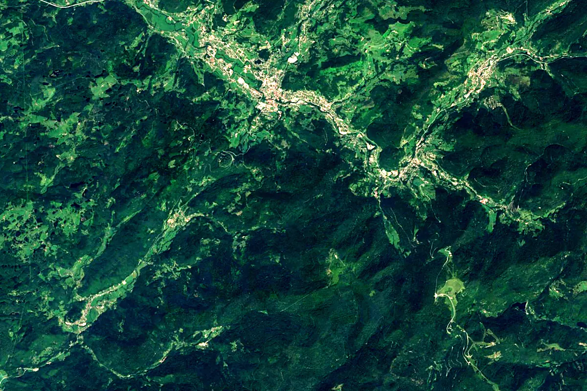
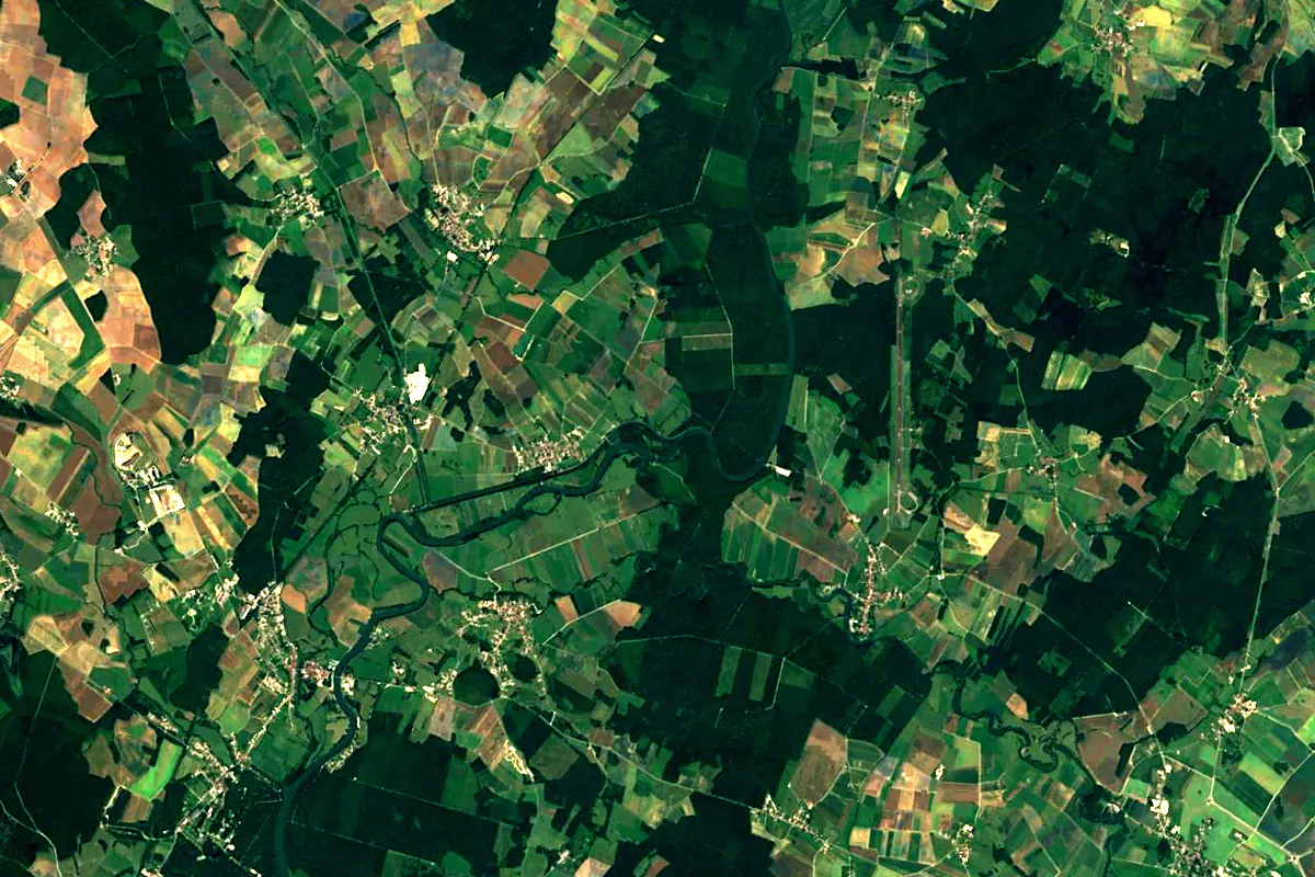
Sentinel-2 cloudless 2016 by EOX IT Services GmbH (contains modified Copernicus Sentinel data 2016), CC BY 4.0. The glowing line is the river as drawn by RiverATLAS.
Photos
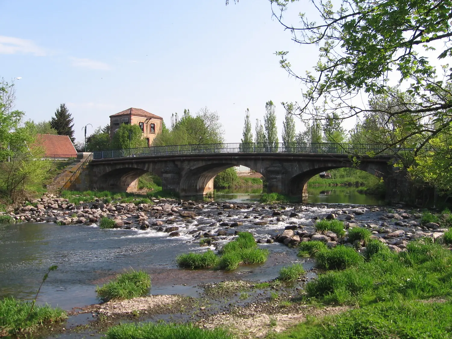
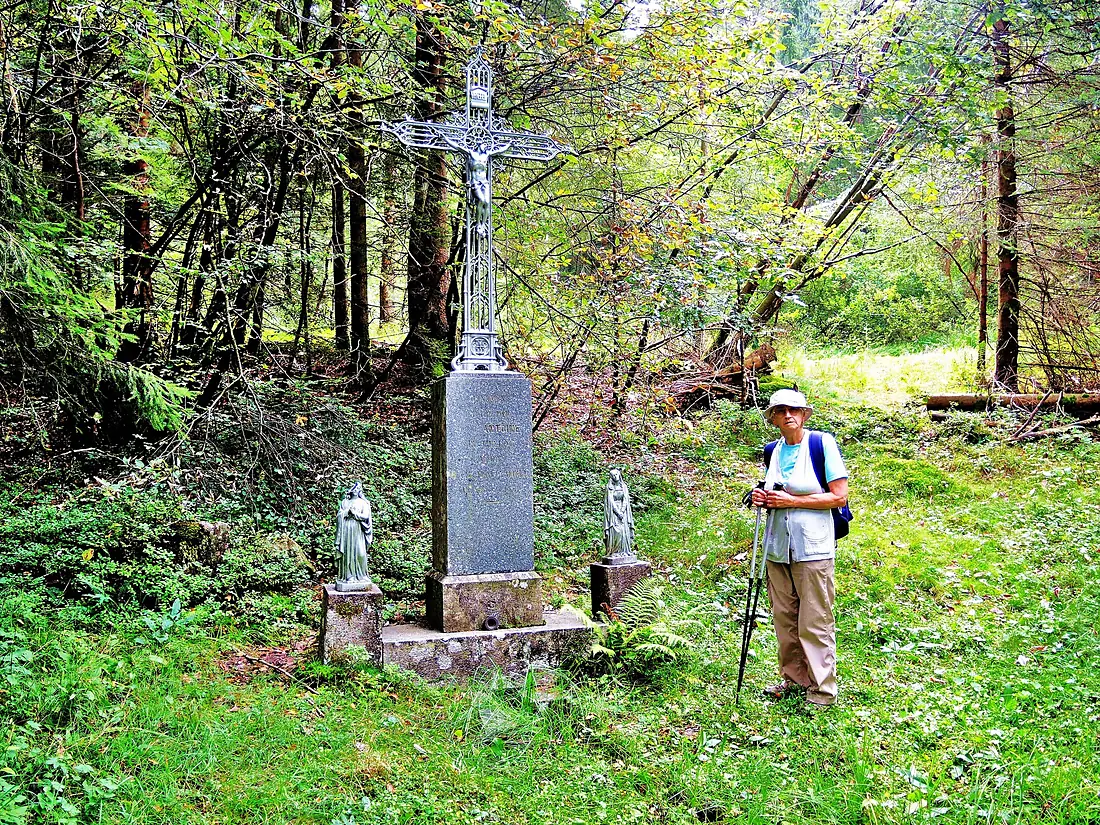
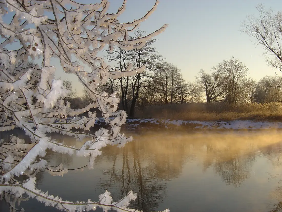
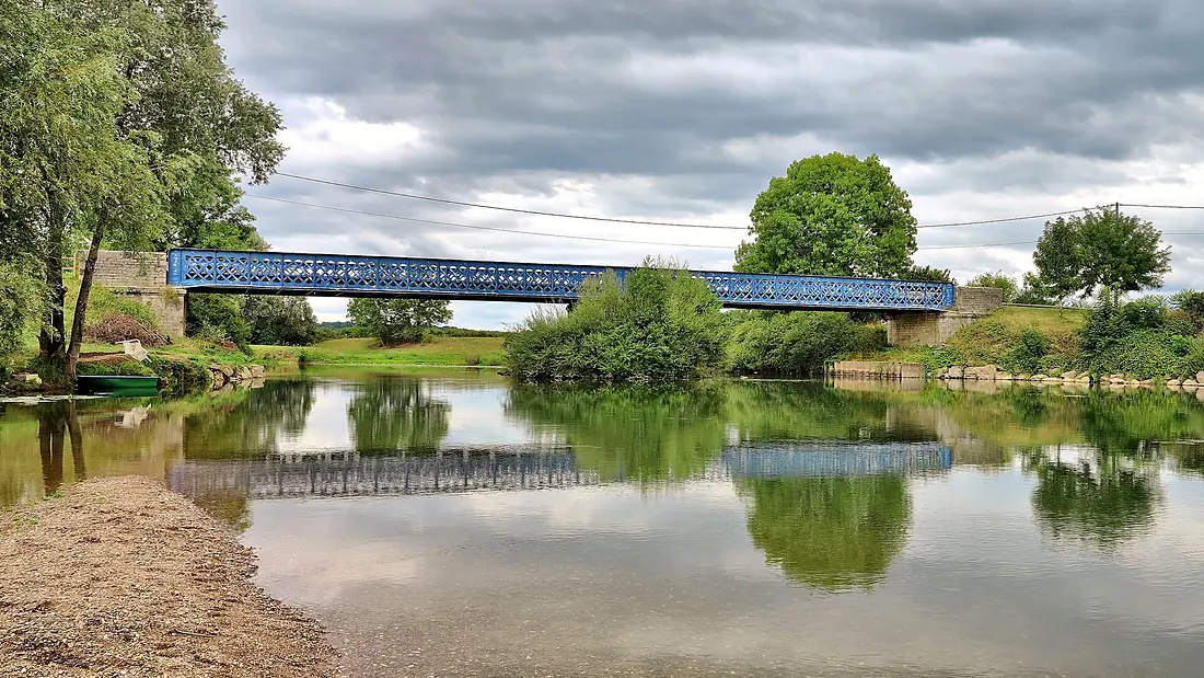
Ognon in pictures
Tributaries
Where it flows, and what flows into it
It flows into
SaôneFrance480 km470 m³/sTributaries (9)
Also: Rahin, Reigne, Linotte, Scey, Beune, Résie, Lauzin, Buthiers, Tounolle
Nearby
Rivers nearby
France453 km180 m³/s59 km awayArve Switzerland108 km78 m³/s133 km awaySaane/SarineSwitzerland126 km54 m³/s140 km awayArrouxFrance132 km34 m³/s150 km awayAllierFrance421 km150 m³/s186 km awayAareSwitzerland295 km560 m³/s209 km awayAinFrance190 km120 m³/s172 km awayMeurtheFrance161 km41 m³/s169 km away
Where these numbers come from
| Name, length, places | Wikidata (Q286477) · CC0 |
|---|---|
| Course, profile, basin | RiverATLAS v1.0 (HydroATLAS, Linke et al. 2019) · CC BY 4.0 — followed from the source to the mouth given by Wikidata |
| Flow | WaterGAP (RiverATLAS), 1971–2000 · CC BY 4.0 |
| Climate along the river | WorldClim (RiverATLAS), 1970–2000 · CC BY 4.0 |
| Towns, bridges, dams | Wikidata · CC0; GeoNames · CC BY 4.0 |
| Along the river | © OpenStreetMap contributors · ODbL |
| Images | EOX Sentinel-2 cloudless 2016 · CC BY 4.0; Wikimedia Commons |
| Our other atlases | Lakeyas, Peakyas — Wikidata · CC0; © OpenStreetMap contributors · ODbL; GeoNames · CC BY 4.0; HydroLAKES · CC BY 4.0; NOAA OISST |
Every source and licence is on the data sources page.
The family
Do you prefer beaches, lakes, mountains, waterfalls, islands, rivers or canyons?
Same idea, other landscapes: field atlases built on open data, month by month, in seven languages.
 beaches
 Find your beach: sea temperature, sun and swimming month by month.Visit lakes
 Every lake on Earth: water temperature, ice, depth and the shore.Coming soonVisit mountains
 Every summit in 3D: summit weather, the 0 °C line, huts and trails.Visit
  waterfalls
 Every waterfall: height, flow month by month and when it roars.Coming soonVisit
  islands
 Every island from the sea up: size, sea temperature, ferries and 3D.Coming soonVisit
  rivers
 Every river from source to sea: the journey, the flow and the basin in numbers.You are here
 canyons
 Every canyon cut to scale: depth to the floor, rim and floor temperatures, trails and viewpoints.Coming soonVisit