River
River Clyde
176 km from source to mouth · United Kingdom.
 United KingdomFlows into Firth of Clyde7th longest in United Kingdom
In numbers
Length
176km
Average flow
90m³/s
Basin
4,100km²
Drop
273m
from 271 m to -2 m
Country
1
The journey
From source to mouth
176 km of river and 68 stops on the way: 23 towns and cities on its banks, dams, bridges and the tributaries that feed it.
- 0 kmSourceat 271 m
- 71 kmMedwin Watertributary
- 75 kmHyndford Bridge
- 81 kmBonnington Linn
- 81 kmBonnington Linn Weir
- 82 kmFalls of Clyde
- 82 kmCorra Linn
- 82 kmBonnington Pavilion
- 82 kmBonnington Power Station
- 83 kmNew Lanark Mill dam
- 83 kmDundaff Linn
- 85 kmLanark8,880 people
- 87 kmClydesholm Bridge
- 89 kmStonebyres Hydoelectric Scheme weir
- 90 kmStonebyres Falls
- 90 kmStonebyres Power Station
- 95 kmMouse Watertributary
- 102 kmMauldslie Bridge
- 103 kmLaw3,250 people
- 104 kmDalserf17,985 people
- 104 kmAshgill1,460 people
- 106 kmWishaw30,050 people
- 106 kmOvertown2,110 people
- 107 kmLarkhall15,030 people
- 113 kmdesigned landscape at Dalzell House
- 116 kmMotherwell32,840 people
- 117 kmHamilton54,480 people
- 117 kmClyde Bridge
- 120 kmAvon Watertributary
- 121 kmStrathclyde Loch0.7 km²
- 123 kmBothwell Bridge
- 124 kmBothwell6,410 people
- 127 kmBlantyre17,090 people
- 127 kmHigh Blantyre16,739 people
- 130 kmUddingston5,610 people
- 130 kmRailway Viaduct, Clyde River, Uddingston
- 133 kmNorth Calder Watertributary
- 137 kmWestburn Viaduct
- 137 kmRotten Caldertributary
- 138 kmCambuslang30,790 people
- 144 kmRutherglen30,950 people
- 149 kmAlbert Bridge
- 149 kmGlasgow626,410 people
- 149 kmVictoria Bridge
- 149 kmSouth Portland Street Suspension Bridge
- 149 kmGlasgow Bridge
- 150 kmCaledonian Railway Bridge
- 150 kmGeorge V Bridge
- 151 kmTradeston Bridge
- 151 kmKingston Bridge
- 152 kmClyde Arc
- 153 kmBell's Bridge
- 155 kmGovan-Partick Bridge
- 159 kmRiver Kelvintributary
- 163 kmRenfrew24,270 people
- 165 kmRenfrew Bridge
- 168 kmClydebank25,620 people
- 169 kmInchinnan1,910 people
- 170 kmDuntocher7,036 people
- 170 kmDalmuir8,933 people
- 172 kmErskine15,530 people
- 174 kmOld Kilpatrick4,850 people
- 175 kmErskine Bridge
- 176 kmNewark Castle
- 176 kmDunglass Castle
- 176 kmFinlaystone House
- 176 kmMemorial to Henry Bell
- 176 kmEast Lodge, Finlaystone House
- 176 kmtimber ponds 505m NE of Finlaystone House
- 176 kmFirth of Clydeat -2 m
Water level along the river (RiverATLAS; the height is exaggerated). Towns: GeoNames and Wikidata; bridges, dams and tributaries: Wikidata.
River in Scotland rising in Lanarkshire and flowing through Glasgow to the Firth of Clyde
At the mouth it carries 90 m³/s on average: an Olympic pool every 28 seconds. It drops from 271 m to -2 m, 1.6 m per kilometre on average. Its basin covers 4,100 km², about the size of CV. 1.6 million people live in it. Highest water: from November to January. No large dam holds it back: it is one of the world's free-flowing rivers.
Where to start
- GlasgowLargest city on its banks · 626,410 people
- Glasgow Airport (GLA)Nearest airport with scheduled flights, 12 km from the cityCar hire at GLA airport (Glasgow)Discover Cars · Affiliate link↗
- On the water14 ferry piers, marinas, boat rentals and boat ramps along the river (OpenStreetMap)
- Kayak and canoe6 put-ins and rapids mapped (OpenStreetMap)
- From June to AugustThe best months to visit
River Clyde, month by month
Highest water: from November to January
Best months to visit: from June to August.
From about 41 m³/s in the lowest month to 150 m³/s in the highest. An estimate: the monthly flow is modelled from the lowest and highest months of WaterGAP (RiverATLAS, 1971–2000) and the rain and snow along the river (WorldClim). Dams change the real rhythm. The chip is the average air temperature; below it, the month's rain.
Plan the trip
Plan the trip: boat trips, a bed by the river, a car
Some links above are affiliate links: if you book through them we may earn a commission, at no extra cost to you. It never changes what the data on this page says.
The basin
River Clyde: the basin in numbers
2,970 km² of land send their water to this river. This is what lives on it.
- 1.6millionpeople live in the basin
- 555/km²people per km²
- 214maverage altitude of the basin
- 1,242mmof rain a year (basin average)
- 7.5°Caverage air temperature
- 6%protected areas
- 0.5%covered by lakes
- 0.0km³held in reservoirs
What covers the basin
- 1% Forest
- 19% Cropland
- 61% Pasture
- 22% Towns and cities
RiverATLAS (HydroATLAS v1.0, CC BY 4.0): land cover, people, protected areas, glaciers and dams over the whole basin upstream of the mouth.
Along the river
River Clyde: what you find on the way
- 20WeirsBonninton Linn Weir, Mill Weir, Stonebyres Hydroelectric Scheme Weir and 17 more
- 30LocksBoghouse Lock No 36, Boghouse Middle Lock No 34, Boghouse Bottom Lock No 35 and 27 more
- 5WaterfallsBonnington Linn, Corra Linn, Dunduff Linn and 2 more
- 5RapidsTriple Falls and 4 more
- 1Canoe put-insClyde at Stonebyres
- 8Boat rampsBraehead and 7 more
- 5Ferry piersBroomielaw Quay Pontoon, Plantation Quay, Renfrew Slipway and 2 more
- 1MarinasInchinnan Cruising Club
- 1River beachesBodden Boo
From OpenStreetMap, within 1.5 km of the river. Not mapped is not the same as not there.
Cross-checked with our atlases
River Clyde in our other atlases
What our sister atlases know about the waterfalls on this river, the lakes it flows through, the beaches at its mouth, the mountains where it rises and the islands off its mouth.
 6waterfalls on the riverCascadyas
 1lake on its wayLakeyas
 1beach at the mouth or on the banksCoastya
 18mountains at the sourcePeakyas
 1island off the mouthIslandyas
Waterfalls (6)
On the river, by Cascadyas
- Bonnington Linnkm 55
- Falls of Clydekm 56
- Corra Linnkm 56
- Bonnington Pavilionkm 56
- Dundaff Linnkm 57
- Stonebyres Fallskm 61
Cascadyas is coming soonOpen Cascadyas ↗
Lakes and reservoirs (1)
Lakes it flows through, by Lakeyas
- Strathclyde Lochkm 820.7km²
Lakeyas is coming soonOpen Lakeyas ↗
Beaches (1)
At the mouth (25 km) and on the banks, by Coastya
- Cardwell Bay21 km away · cove15.0°C
Mountains at the source (18)
Within 15 km of the source, by Peakyas
- Queensberry14 km away697m
- Wedder Law11 km away · prominence 137 m672m
- Crown of Scotland12 km away538m
- Annanhead Hill10 km away478m
- Arbory Hill10 km away429m
- Glenwhappen Rig14 km away384m
- Lowther Hill7.1 km away
- Green Lowther5.7 km away
10 more on PeakyasOpen Peakyas ↗
Islands off the mouth (1)
Within 30 km of the mouth, by Islandyas
- St Patrick's Rock0.4 km away
Islandyas is coming soonOpen Islandyas ↗
From space
The source and the mouth, seen from orbit
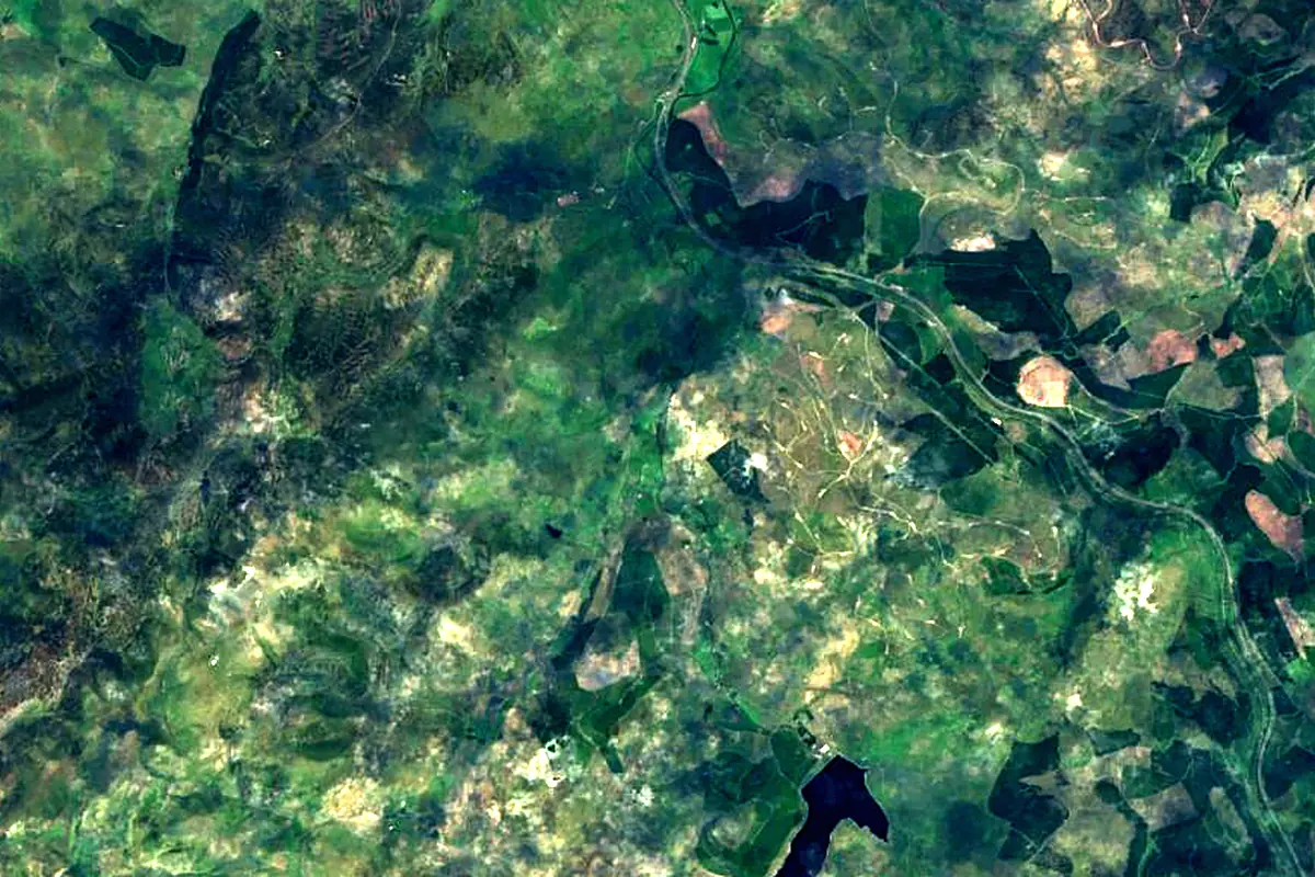
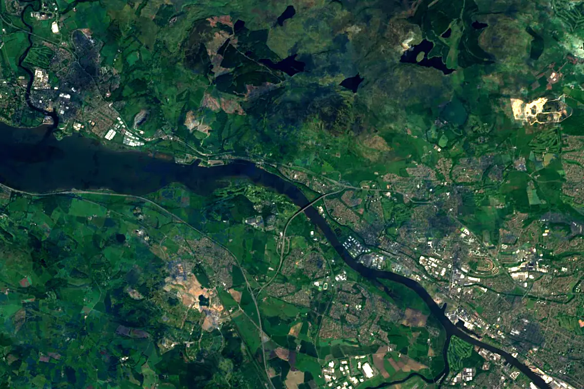
Sentinel-2 cloudless 2016 by EOX IT Services GmbH (contains modified Copernicus Sentinel data 2016), CC BY 4.0. The glowing line is the river as drawn by RiverATLAS.
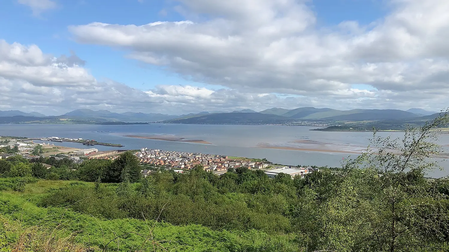
Photos
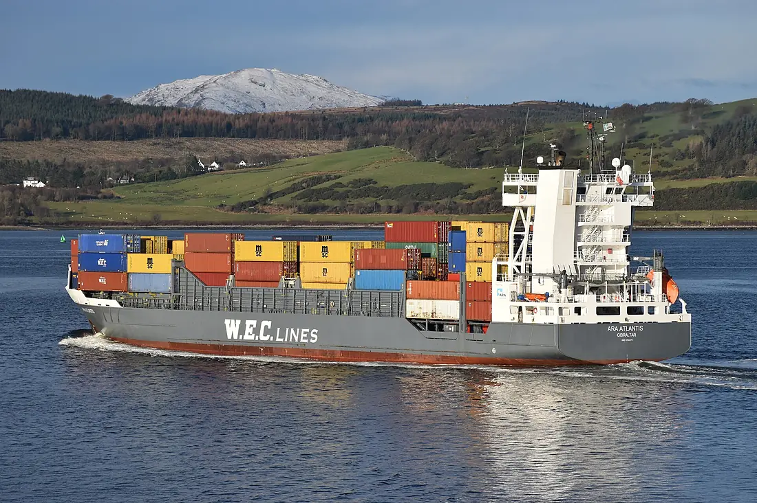
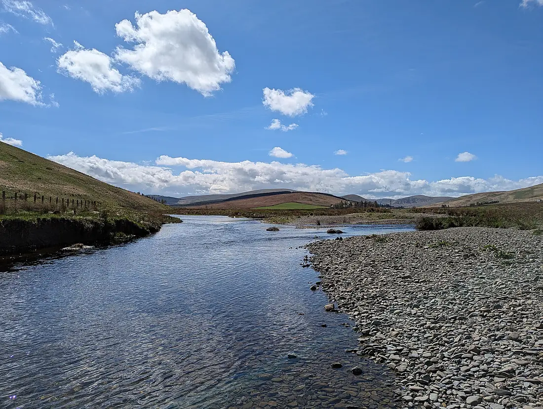
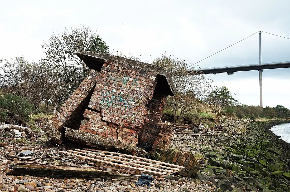
River Clyde in pictures
Tributaries
Where it flows, and what flows into it
Tributaries (15)
Also: River Kelvin, River Leven, Douglas Water, River Nethan, Avon Water, North Calder Water, River Cart, Rotten Calder, Duneaton Water, Daer Water, Mouse Water, Elvan Water, Medwin Water, Molendinar Burn, Camps Water
Nearby
Rivers nearby
United Kingdom47 km61 m³/s46 km awayRiver TayUnited Kingdom193 km170 m³/s86 km awayRiver TweedUnited Kingdom156 km89 m³/s155 km awayRiver BannUnited Kingdom137 km130 m³/s166 km awayRiver DeeUnited Kingdom154 km44 m³/s200 km awayRiver SpeyUnited Kingdom172 km64 m³/s212 km awayRiver TyneUnited Kingdom100 km63 m³/s217 km awayRiver DonUnited Kingdom131 km21 m³/s202 km awayWhere these numbers come from
| Name, length, places | Wikidata (Q19721) · CC0 |
|---|---|
| Course, profile, basin | RiverATLAS v1.0 (HydroATLAS, Linke et al. 2019) · CC BY 4.0 — followed from the source to the mouth given by Wikidata |
| Flow | WaterGAP (RiverATLAS), 1971–2000 · CC BY 4.0 |
| Climate along the river | WorldClim (RiverATLAS), 1970–2000 · CC BY 4.0 |
| Towns, bridges, dams | Wikidata · CC0; GeoNames · CC BY 4.0 |
| Along the river | © OpenStreetMap contributors · ODbL |
| Images | EOX Sentinel-2 cloudless 2016 · CC BY 4.0; Wikimedia Commons |
| Our other atlases | Cascadyas, Lakeyas, Coastya, Peakyas, Islandyas — Wikidata · CC0; © OpenStreetMap contributors · ODbL; GeoNames · CC BY 4.0; HydroLAKES · CC BY 4.0; NOAA OISST |
Every source and licence is on the data sources page.
The family
Do you prefer beaches, lakes, mountains, waterfalls, islands, rivers or canyons?
Same idea, other landscapes: field atlases built on open data, month by month, in seven languages.
beaches Find your beach: sea temperature, sun and swimming month by month.Visit lakes
 Every lake on Earth: water temperature, ice, depth and the shore.Coming soonVisit mountains
 Every summit in 3D: summit weather, the 0 °C line, huts and trails.Visit waterfalls
 Every waterfall: height, flow month by month and when it roars.Coming soonVisit islands
 Every island from the sea up: size, sea temperature, ferries and 3D.Coming soonVisit
  rivers
 Every river from source to sea: the journey, the flow and the basin in numbers.You are here
 canyons
 Every canyon cut to scale: depth to the floor, rim and floor temperatures, trails and viewpoints.Coming soonVisit