River
River Spey
172 km from source to mouth · United Kingdom.
 United KingdomFlows into Moray Firth8th longest in United Kingdom
In numbers
Length
172km
Average flow
64m³/s
Basin
3,008km²
Drop
276m
from 277 m to 1 m
Country
1
The journey
From source to mouth
172 km of river and 49 stops on the way: 8 towns and cities on its banks, dams, bridges and the tributaries that feed it.
- 0 kmLoch Speyat 277 m
- 0 kmGarvamore Bridge
- 9 kmSpey Dam Reservoir0.4 km²
- 29 kmSpey Bridge, Newtonmore
- 29 kmNewtonmore, Railway Viaduct
- 31 kmNewtonmore1,100 people
- 35 kmRiver Caldertributary
- 36 kmRuthven Bridge
- 37 kmKingussie1,480 people
- 41 kmRiver Tromietributary
- 49 kmLoch Insh1.2 km²
- 50 kmBoat of Insh Bridge
- 58 kmLoch an Eilein0.5 km²
- 58 kmRiver Feshietributary
- 58 kmLoch Alvie0.5 km²
- 63 kmAviemore3,150 people
- 74 kmGarten Bridge
- 76 kmLoch Garten0.4 km²
- 83 kmBroomhill Bridge
- 85 kmRiver Dulnaintributary
- 88 kmRiver Nethytributary
- 90 kmNew Spey Bridge
- 90 kmGrantown on Spey2,440 people
- 91 kmOld Spey Bridge
- 97 kmGrantown-on-spey, Suspension Bridge
- 97 kmBoat of Cromdale, Bridge
- 109 kmSpey Bridge of Advie
- 117 kmBallindalloch Railway Bridge
- 117 kmRiver Avontributary
- 120 kmBlacksboat Bridge
- 127 kmShepherd's Linn
- 127 kmTommore Linn
- 130 kmBridge of Carron
- 136 kmVictoria Bridge, Aberlour
- 137 kmCharlestown of Aberlour1,020 people
- 138 kmAberlour1,050 people
- 139 kmAberlour House
- 141 kmCraigellachie Bridge
- 141 kmCraigellachie, New Bridge
- 143 kmArndilly House
- 146 kmRothes1,230 people
- 148 kmAikenway Castle
- 153 kmThe Linn
- 154 kmBoat O' Brig, New Bridge
- 154 kmBoat O' Brig, Suspension Bridge
- 154 kmBoat O' Brig, Old Bridge
- 154 kmRailway Bridge, Boat O' Brig
- 163 kmFochabers1,720 people
- 164 kmFochabers Bridge
- 170 kmSpey Viaduct
- 172 kmMoray Firthat 1 m
Water level along the river (RiverATLAS; the height is exaggerated). Towns: GeoNames and Wikidata; bridges, dams and tributaries: Wikidata.
River in Highland and Moray, Scotland, UK, flows into the Moray Firth at Kingston on Spey
At the mouth it carries 64 m³/s on average: an Olympic pool every 39 seconds. It drops from 277 m to 1 m, 1.6 m per kilometre on average. Its basin covers 3,008 km², about the size of LU. 26,000 people live in it. Highest water: from November to January. No large dam holds it back: it is one of the world's free-flowing rivers.
Where to start
- AviemoreLargest city on its banks · 3,150 people
- Inverness Airport (INV)Nearest airport with scheduled flights, 41 km from the cityCar hire at INV airport (Inverness)Discover Cars · Affiliate link↗
- On the water1 ferry piers, marinas, boat rentals and boat ramps along the river (OpenStreetMap)
- Kayak and canoe1 put-ins and rapids mapped (OpenStreetMap)
- From June to AugustThe best months to visit
River Spey, month by month
Highest water: from November to January
Best months to visit: from June to August.
From about 34 m³/s in the lowest month to 99 m³/s in the highest. An estimate: the monthly flow is modelled from the lowest and highest months of WaterGAP (RiverATLAS, 1971–2000) and the rain and snow along the river (WorldClim). Dams change the real rhythm. The chip is the average air temperature; below it, the month's rain.
Plan the trip
Plan the trip: boat trips, a bed by the river, a car
Some links above are affiliate links: if you book through them we may earn a commission, at no extra cost to you. It never changes what the data on this page says.
The basin
River Spey: the basin in numbers
2,944 km² of land send their water to this river. This is what lives on it.
- 26,000people live in the basin
- 9/km²people per km²
- 447maverage altitude of the basin
- 1,077mmof rain a year (basin average)
- 5.8°Caverage air temperature
- 70%protected areas
- 0.3%covered by lakes
What covers the basin
- 12% Forest
- 1% Cropland
- 12% Pasture
RiverATLAS (HydroATLAS v1.0, CC BY 4.0): land cover, people, protected areas, glaciers and dams over the whole basin upstream of the mouth.
Along the river
River Spey: what you find on the way
- 5Weirs
- 6WaterfallsCadha an Fheidh, The Linn Falls and 4 more
- 1Rapids
- 1MarinasLoch Insh Watersports
- 2River beachesSandy Hole, Tannachy Sands
From OpenStreetMap, within 1.5 km of the river. Not mapped is not the same as not there.
Cross-checked with our atlases
River Spey in our other atlases
What our sister atlases know about the waterfalls on this river, the lakes it flows through, the beaches at its mouth, the mountains where it rises and the islands off its mouth.
 3waterfalls on the riverCascadyas
 5lakes on its wayLakeyas
 2beaches at the mouth and on the banksCoastya
 62mountains at the sourcePeakyas
Waterfalls (3)
On the river, by Cascadyas
- Shepherd's Linnkm 105
- Tommore Linnkm 105
- The Linnkm 127
Cascadyas is coming soonOpen Cascadyas ↗
Lakes and reservoirs (5)
Lakes it flows through, by Lakeyas
- Spey Dam Reservoirkm 80.4km²
- Loch Inshkm 411.2km²
- Loch an Eileinkm 480.5km²
- Loch Alviekm 480.5km²
- Loch Gartenkm 630.4km²
Lakeyas is coming soonOpen Lakeyas ↗
Beaches (2)
At the mouth (25 km) and on the banks, by Coastya
- Lossiemouth East Beach12 km away14.1°C
- Sunnyside Beach19 km away13.9°C
Mountains at the source (62)
Within 15 km of the source, by Peakyas
- Creag Meagaidh13 km away · prominence 867 m1,130m
- Càrn Dearg13 km away · prominence 591 m946m
- Geal Charn14 km away · prominence 310 m1,049m
- Stob Poite Coire Ardair11 km away · prominence 109 m1,054m
- Càrn Liath6.9 km away · prominence 87 m1,006m
- Creag Pitridh14 km away · prominence 105 m924m
- Creag Mhòr11 km away1,070m
- Meall Buidhe12 km away863m
54 more on PeakyasOpen Peakyas ↗
From space
The source and the mouth, seen from orbit
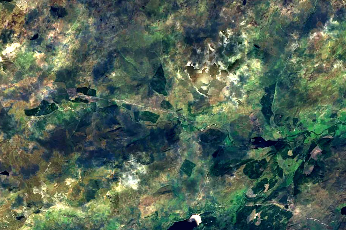
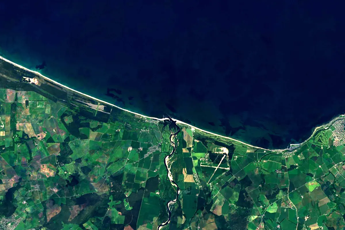
Sentinel-2 cloudless 2016 by EOX IT Services GmbH (contains modified Copernicus Sentinel data 2016), CC BY 4.0. The glowing line is the river as drawn by RiverATLAS.
Photos
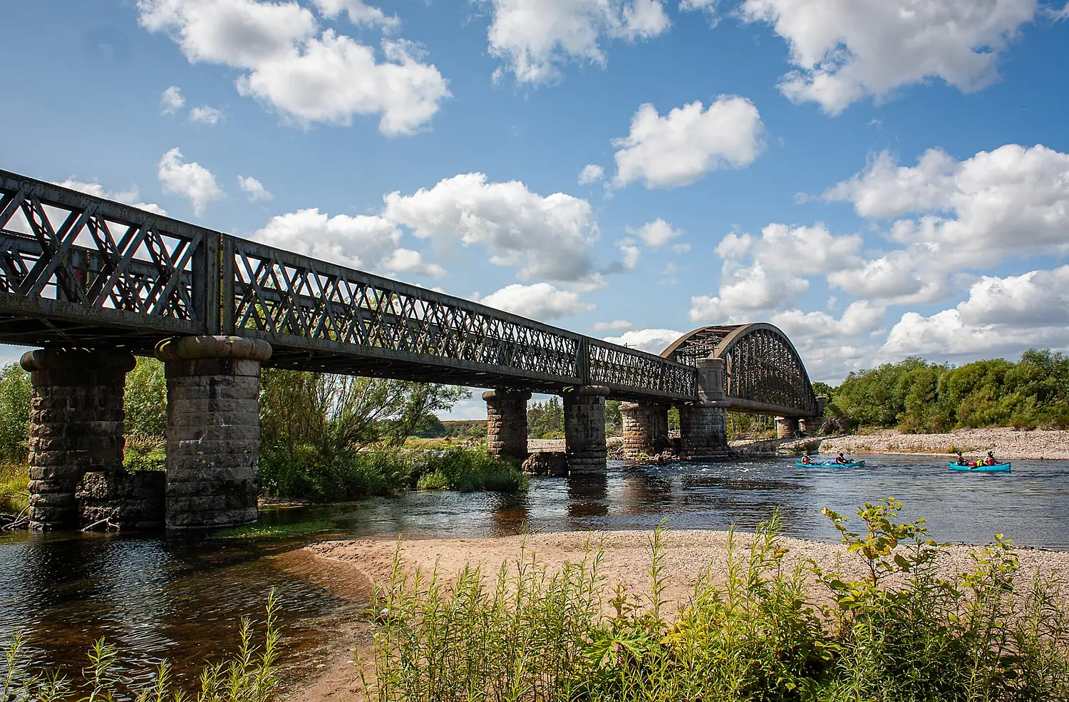
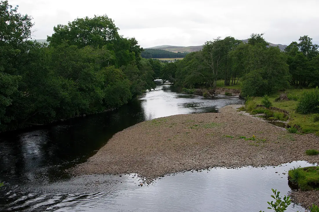
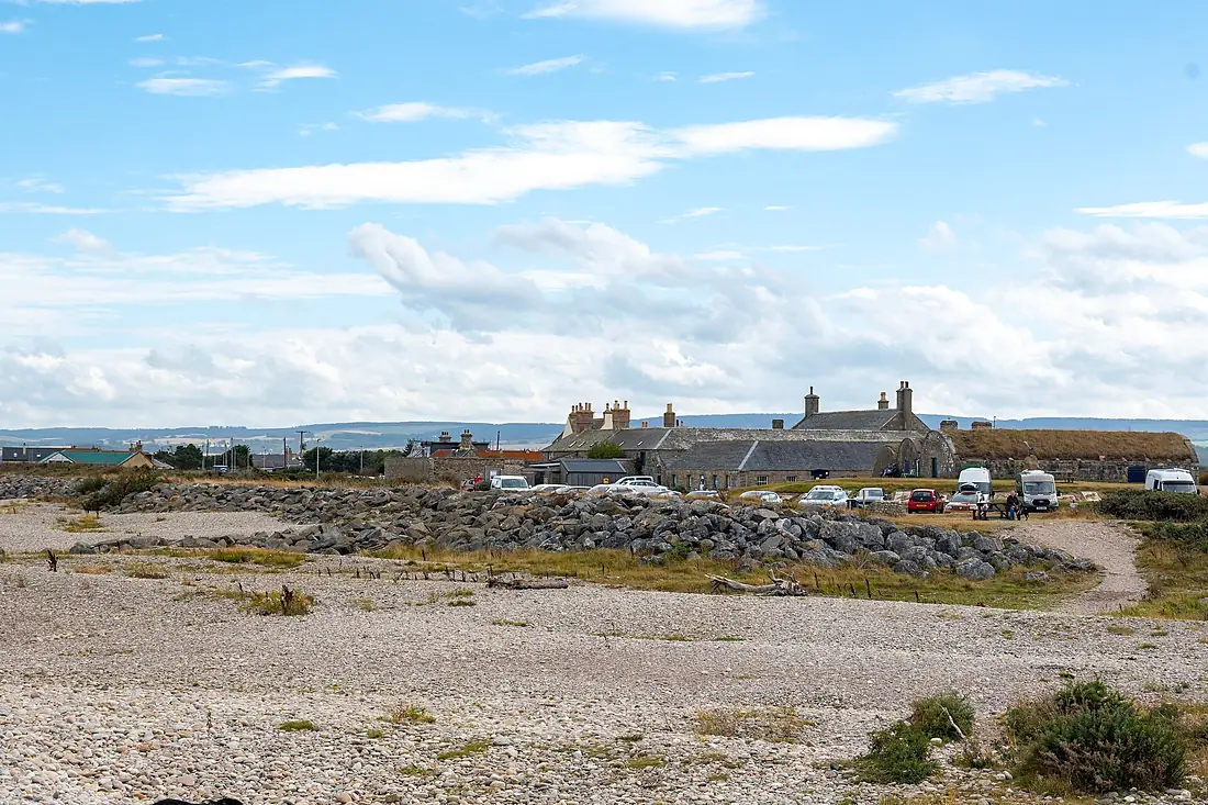
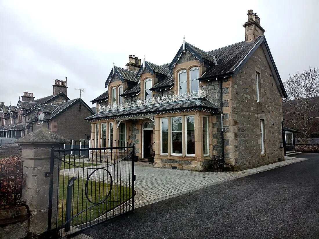
River Spey in pictures
Tributaries
Where it flows, and what flows into it
Tributaries (9)
Also: River Avon, River Fiddich, River Truim, River Dulnain, River Feshie, River Nethy, River Tromie, River Calder, River Druie
Nearby
Rivers nearby
United Kingdom154 km44 m³/s85 km awayRiver DonUnited Kingdom131 km21 m³/s83 km awayRiver TayUnited Kingdom193 km170 m³/s146 km awayRiver ForthUnited Kingdom47 km61 m³/s180 km awayRiver ClydeUnited Kingdom176 km90 m³/s212 km awayRiver TweedUnited Kingdom156 km89 m³/s223 km awayRiver TyneUnited Kingdom100 km63 m³/s314 km awayRiver WearUnited Kingdom96 km21 m³/s324 km awayWhere these numbers come from
| Name, length, places | Wikidata (Q19720) · CC0 |
|---|---|
| Course, profile, basin | RiverATLAS v1.0 (HydroATLAS, Linke et al. 2019) · CC BY 4.0 — followed along the river network from the point given by Wikidata |
| Flow | WaterGAP (RiverATLAS), 1971–2000 · CC BY 4.0 |
| Climate along the river | WorldClim (RiverATLAS), 1970–2000 · CC BY 4.0 |
| Towns, bridges, dams | Wikidata · CC0; GeoNames · CC BY 4.0 |
| Along the river | © OpenStreetMap contributors · ODbL |
| Images | EOX Sentinel-2 cloudless 2016 · CC BY 4.0; Wikimedia Commons |
| Our other atlases | Cascadyas, Lakeyas, Coastya, Peakyas — Wikidata · CC0; © OpenStreetMap contributors · ODbL; GeoNames · CC BY 4.0; HydroLAKES · CC BY 4.0; NOAA OISST |
Every source and licence is on the data sources page.
The family
Do you prefer beaches, lakes, mountains, waterfalls, islands, rivers or canyons?
Same idea, other landscapes: field atlases built on open data, month by month, in seven languages.
beaches Find your beach: sea temperature, sun and swimming month by month.Visit lakes
 Every lake on Earth: water temperature, ice, depth and the shore.Coming soonVisit mountains
 Every summit in 3D: summit weather, the 0 °C line, huts and trails.Visit waterfalls
 Every waterfall: height, flow month by month and when it roars.Coming soonVisit
  islands
 Every island from the sea up: size, sea temperature, ferries and 3D.Coming soonVisit
  rivers
 Every river from source to sea: the journey, the flow and the basin in numbers.You are here
 canyons
 Every canyon cut to scale: depth to the floor, rim and floor temperatures, trails and viewpoints.Coming soonVisit