River
Buzău River
325 km from source to mouth · Romania.
 RomaniaFlows into Siret River7th longest in Romania
In numbers
Length
325km
Average flow
28m³/s
Basin
5,537km²
Drop
748m
from 753 m to 5 m
Country
1
The journey
From source to mouth
325 km of river and 47 stops on the way: 44 towns and cities on its banks, dams, bridges and the tributaries that feed it.
- 0 kmSourceat 753 m
- 1 kmCrivina3,289 people
- 18 kmÎntorsura Buzăului9,026 people
- 24 kmSita Buzăului4,788 people
- 57 kmLake Siriu1.1 km²
- 69 kmBâsca Roziliei Rivertributary
- 72 kmNehoiu11,350 people
- 89 kmBurueneşti8,101 people
- 89 kmPătârlagele6,276 people
- 100 kmCislău4,218 people
- 107 kmBâsca Chiojdului Rivertributary
- 112 kmVipereşti3,600 people
- 125 kmPârscov5,968 people
- 127 kmMăgura4,657 people
- 134 kmCojanu128 people
- 138 kmRătești603 people
- 143 kmSătuc604 people
- 144 kmBerca7,741 people
- 146 kmPleșești878 people
- 148 kmPleșcoi828 people
- 152 kmSăpoca3,156 people
- 156 kmVerneşti8,603 people
- 167 kmMărăcineni7,096 people
- 167 kmCăpățânești3,296 people
- 172 kmBuzău103,481 people
- 192 kmSăgeata5,427 people
- 221 kmJirlău2,919 people
- 230 kmFăurei3,008 people
- 236 kmVișani1,601 people
- 246 kmDedulești725 people
- 262 kmMaraloiu257 people
- 265 kmIbrianu589 people
- 266 kmGrădiștea1,269 people
- 271 kmȘuțești3,639 people
- 271 kmŞuţeşti4,740 people
- 279 kmCustura310 people
- 282 kmRacovița482 people
- 283 kmConstantinești319 people
- 288 kmBoarca54 people
- 289 kmMihail Kogălniceanu178 people
- 290 kmRâmnicelu1,846 people
- 299 kmScorțaru Nou1,085 people
- 302 kmPitulați310 people
- 307 kmSihleanu258 people
- 309 kmGurguieți143 people
- 312 kmMăxineni3,265 people
- 316 kmLatinu676 people
- 320 kmVoinești69 people
- 325 kmSiret Riverat 5 m
Water level along the river (RiverATLAS; the height is exaggerated). Towns: GeoNames and Wikidata; bridges, dams and tributaries: Wikidata.
River in Romania
At the mouth it carries 28 m³/s on average: an Olympic pool every 88 seconds. It drops from 753 m to 5 m, 2.3 m per kilometre on average. Its basin covers 5,537 km², about the size of BN. 347,000 people live in it. Highest water: May; lowest: February. Its dams hold back little of its water (9.8% of a year's flow).
Where to start
- BuzăuLargest city on its banks · 103,481 people
- Bucharest Henri Coandă International Airport (OTP)Nearest airport with scheduled flights, 86 km from the cityCar hire at OTP airport (Otopeni)Discover Cars · Affiliate link↗
- From May to SeptemberThe best months to visit
Buzău River, month by month
Highest water: May
Lowest water: February. Best months to visit: from May to September.
From about 19 m³/s in the lowest month to 87 m³/s in the highest. An estimate: the monthly flow is modelled from the lowest and highest months of WaterGAP (RiverATLAS, 1971–2000) and the rain and snow along the river (WorldClim). Dams change the real rhythm. The chip is the average air temperature; below it, the month's rain.
Plan the trip
Plan the trip: boat trips, a bed by the river, a car
Some links above are affiliate links: if you book through them we may earn a commission, at no extra cost to you. It never changes what the data on this page says.
The basin
Buzău River: the basin in numbers
5,537 km² of land send their water to this river. This is what lives on it.
- 347,000people live in the basin
- 63/km²people per km²
- 501maverage altitude of the basin
- 623mmof rain a year (basin average)
- 8.3°Caverage air temperature
- 1%protected areas
- 0.6%covered by lakes
- 0.2km³held in reservoirs
What covers the basin
- 49% Forest
- 38% Cropland
- 19% Pasture
- 2% Towns and cities
RiverATLAS (HydroATLAS v1.0, CC BY 4.0): land cover, people, protected areas, glaciers and dams over the whole basin upstream of the mouth.
Along the river
Buzău River: what you find on the way
From OpenStreetMap, within 1.6 km of the river. Not mapped is not the same as not there.
Cross-checked with our atlases
Buzău River in our other atlases
What our sister atlases know about the waterfalls on this river, the lakes it flows through, the beaches at its mouth, the mountains where it rises and the islands off its mouth.
 1lake on its wayLakeyas
 35mountains at the sourcePeakyas
Lakes and reservoirs (1)
Lakes it flows through, by Lakeyas
- Lake Siriukm 421.1km²
Lakeyas is coming soonOpen Lakeyas ↗
Mountains at the source (35)
Within 15 km of the source, by Peakyas
- Ciucaș Mountains8.6 km away1,954m
- Ciucaș Peak7.5 km away1,954m
- Gropsoarele9.7 km away1,883m
- Tigaile Mari7.7 km away1,844m
- Bratocea8.8 km away1,843m
- Bratocea Mica10 km away1,769m
- Zaganul10 km away1,757m
- Capra Bratocei11 km away1,722m
27 more on PeakyasOpen Peakyas ↗
From space
The source and the mouth, seen from orbit
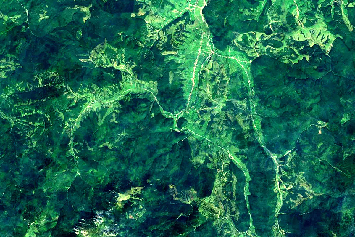
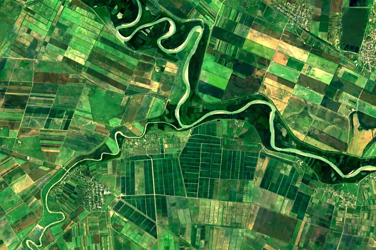
Sentinel-2 cloudless 2016 by EOX IT Services GmbH (contains modified Copernicus Sentinel data 2016), CC BY 4.0. The glowing line is the river as drawn by RiverATLAS.
Photos
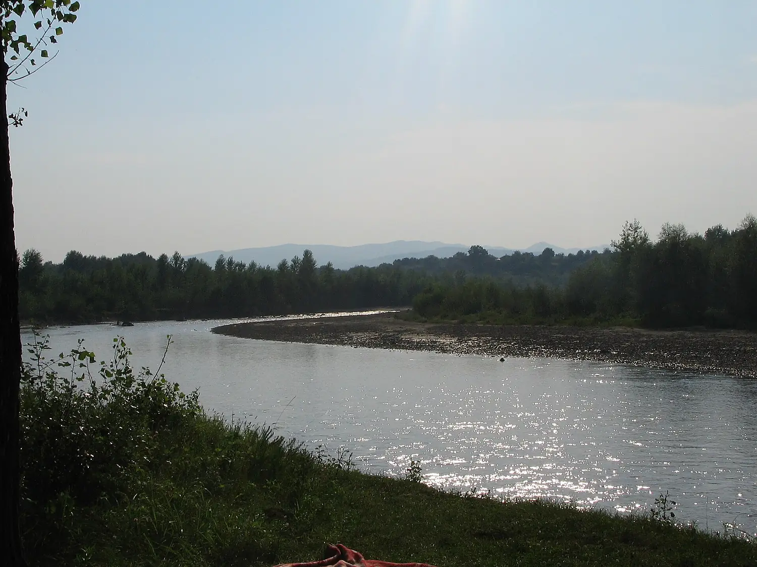
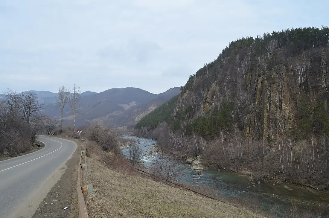
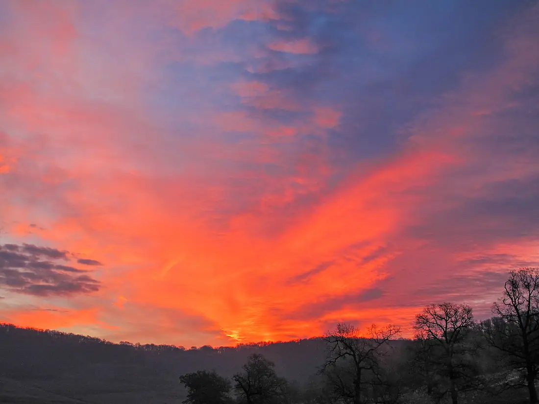
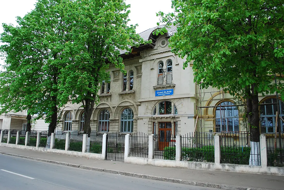
Buzău River in pictures
Tributaries
Where it flows, and what flows into it
It flows into
Siret RiverRomania740 km230 m³/sTributaries (19)
Also: Bâsca Chiojdului River, Slănic River, Sărățel River, Blăjanca River, Bold River, Buzoel River, Buzăiel River, Bâsca Roziliei River, Bălăneasa River, Cașoca River, Câlnău River, Dălghiu River, Harțag River, Crasna River, Pârâul Boului, Siriu River, Valea Largă River, Nișcov River, Lădăuți
 Serbia
 Croatia
 Germany
 Austria
Nearby
Rivers nearby
 Moldova953 km120 m³/s38 km awayBârlad RiverRomania207 km9.0 m³/s29 km awayDanubeRomania2,850 km5,400 m³/s154 km awayIalomița RiverRomania414 km70 m³/s79 km awayBistrița RiverRomania272 km66 m³/s134 km awayPrahova RiverRomania183 km28 m³/s127 km awayDâmbovița RiverRomania286 km19 m³/s164 km awayArgeș RiverRomania350 km73 m³/s175 km away
Where these numbers come from
| Name, length, places | Wikidata (Q833164) · CC0 |
|---|---|
| Course, profile, basin | RiverATLAS v1.0 (HydroATLAS, Linke et al. 2019) · CC BY 4.0 — followed along the river network from the point given by Wikidata |
| Flow | WaterGAP (RiverATLAS), 1971–2000 · CC BY 4.0 |
| Climate along the river | WorldClim (RiverATLAS), 1970–2000 · CC BY 4.0 |
| Towns, bridges, dams | Wikidata · CC0; GeoNames · CC BY 4.0 |
| Along the river | © OpenStreetMap contributors · ODbL |
| Images | EOX Sentinel-2 cloudless 2016 · CC BY 4.0; Wikimedia Commons |
| Our other atlases | Lakeyas, Peakyas — Wikidata · CC0; © OpenStreetMap contributors · ODbL; GeoNames · CC BY 4.0; HydroLAKES · CC BY 4.0; NOAA OISST |
Every source and licence is on the data sources page.
The family
Do you prefer beaches, lakes, mountains, waterfalls, islands, rivers or canyons?
Same idea, other landscapes: field atlases built on open data, month by month, in seven languages.
 beaches
 Find your beach: sea temperature, sun and swimming month by month.Visit lakes
 Every lake on Earth: water temperature, ice, depth and the shore.Coming soonVisit mountains
 Every summit in 3D: summit weather, the 0 °C line, huts and trails.Visit
  waterfalls
 Every waterfall: height, flow month by month and when it roars.Coming soonVisit
  islands
 Every island from the sea up: size, sea temperature, ferries and 3D.Coming soonVisit
  rivers
 Every river from source to sea: the journey, the flow and the basin in numbers.You are here
 canyons
 Every canyon cut to scale: depth to the floor, rim and floor temperatures, trails and viewpoints.Coming soonVisit