River
Sava
945 km from source to mouth · 4 countries.
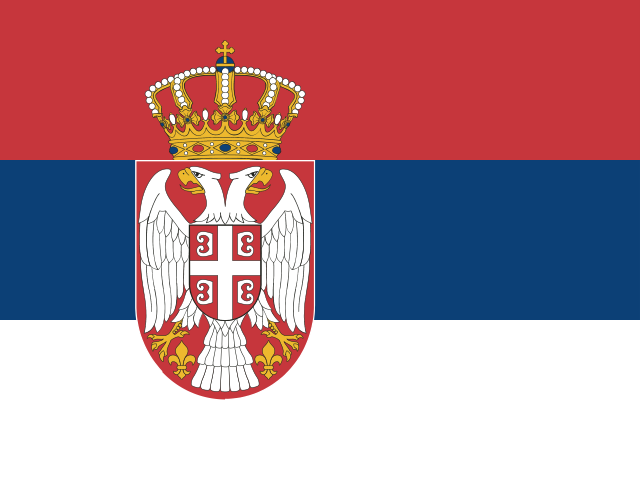
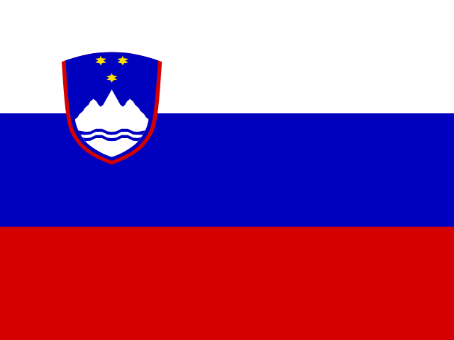
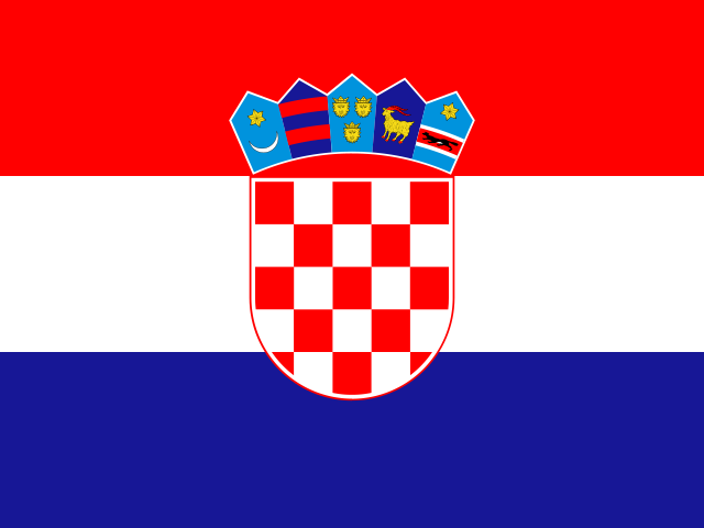
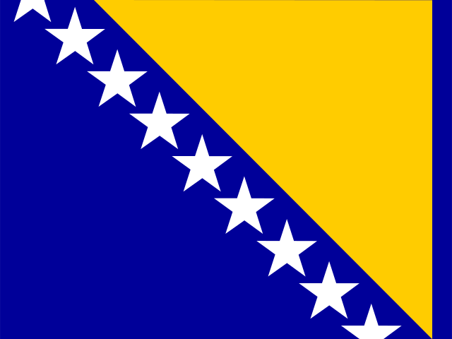 Serbia, Slovenia, Croatia and Bosnia and HerzegovinaFlows into Danube2nd longest in Serbia
In numbers
Length
945km
Average flow
1,700m³/s
Basin
95,719km²
Drop
352m
from 419 m to 67 m
Countries
4
The journey
From source to mouth
945 km of river and 68 stops on the way: 28 towns and cities on its banks, dams, bridges and the tributaries that feed it.
- 0 kmSourceat 419 m
- 8 kmSava Dolinkatributary
- 12 kmSava Bohinjkatributary
- 30 kmKranj37,605 people
- 33 kmKokratributary
- 38 kmLake Trboje0.5 km²
- 43 kmLake Zbilje0.4 km²
- 44 kmSoratributary
- 57 kmLjubljana284,293 people
- 65 kmLjubljanicatributary
- 110 kmTrbovlje15,163 people
- 122 kmSavinjatributary
- 122 kmZidani Most railway station
- 138 kmMirnatributary
- 169 kmZasava
- 173 kmKrkatributary
- 182 kmSutlatributary
- 184 kmSamobor37,435 people
- 192 kmZaprešić18,768 people
- 195 kmPodsused – Vrapče45,759 people
- 198 kmKrapinatributary
- 199 kmStenjevec - jug7,898 people
- 202 kmLučko2,987 people
- 205 kmJarun12,149 people
- 206 kmJarun Lake0.8 km²
- 208 kmKnežija10,484 people
- 208 kmKajzerica4,387 people
- 210 kmZagreb767,131 people
- 210 kmCentar37,000 people
- 212 kmTrnjanska Savica8,449 people
- 212 kmZapruđe6,184 people
- 215 kmSavica Lakes
- 245 kmOrle1,765 people
- 289 kmSisak27,859 people
- 300 kmKupatributary
- 315 kmLonjsko Polje Nature park
- 332 kmLonjatributary
- 340 kmSunjatributary
- 373 kmUnatributary
- 410 kmGradiška13,346 people
- 446 kmBardača
- 447 kmBardača Lake2.6 km²
- 450 kmVrbastributary
- 468 kmOrljavatributary
- 502 kmUkrinatributary
- 506 kmBrod9,249 people
- 509 kmSlavonski Brod45,005 people
- 542 kmGajna
- 568 kmBosnatributary
- 602 kmŠtitar1,552 people
- 606 kmŽupanja9,153 people
- 642 kmTinjatributary
- 649 kmBrčko38,968 people
- 699 kmDrinatributary
- 711 kmBosuttributary
- 735 kmSremska Mitrovica39,084 people
- 748 kmJarčinatributary
- 768 kmJereztributary
- 771 kmŠabac Fortress
- 772 kmŠabac55,114 people
- 832 kmZivača1.1 km²
- 840 kmObrenovac16,821 people
- 854 kmKolubaratributary
- 878 kmAda Bridge
- 878 kmNovi Beograd209,763 people
- 879 kmNew Railroad Bridge
- 880 kmGazela Bridge
- 881 kmBranko's Bridge
- 881 kmBelgrade1,197,714 people
- 945 kmDanubeat 67 m
Water level along the river (RiverATLAS; the height is exaggerated). Towns: GeoNames and Wikidata; bridges, dams and tributaries: Wikidata.
River in Southeast Europe
At the mouth it carries 1,722 m³/s on average: an Olympic pool every 1.5 seconds. It drops from 419 m to 67 m, 0.4 m per kilometre on average. Its basin covers 95,719 km², about the size of KR. 8.7 million people live in it. Highest water: from December to January. Its dams hold back little of its water (4.7% of a year's flow).
Where to start
- BelgradeLargest city on its banks · 1,197,714 people
- Belgrade Nikola Tesla Airport (BEG)Nearest airport with scheduled flights, 12 km from the cityCar hire at BEG airport (Belgrade)Discover Cars · Affiliate link↗
- On the water68 ferry piers, marinas, boat rentals and boat ramps along the river (OpenStreetMap)
- Kayak and canoe17 put-ins and rapids mapped (OpenStreetMap)
- From May to SeptemberThe best months to visit
Sava, month by month
Highest water: from December to January
Best months to visit: from May to September.
From about 610 m³/s in the lowest month to 3,000 m³/s in the highest. An estimate: the monthly flow is modelled from the lowest and highest months of WaterGAP (RiverATLAS, 1971–2000) and the rain and snow along the river (WorldClim). Dams change the real rhythm. The chip is the average air temperature; below it, the month's rain.
Plan the trip
Plan the trip: boat trips, a bed by the river, a car
Some links above are affiliate links: if you book through them we may earn a commission, at no extra cost to you. It never changes what the data on this page says.
The basin
Sava: the basin in numbers
87,197 km² of land send their water to this river. This is what lives on it.
- 8.7millionpeople live in the basin
- 100/km²people per km²
- 505maverage altitude of the basin
- 977mmof rain a year (basin average)
- 9.5°Caverage air temperature
- 8%protected areas
- 0.2%covered by lakes
- 2.2km³held in reservoirs
What covers the basin
- 43% Forest
- 24% Cropland
- 18% Pasture
- 4% Towns and cities
RiverATLAS (HydroATLAS v1.0, CC BY 4.0): land cover, people, protected areas, glaciers and dams over the whole basin upstream of the mouth.
Along the river
Sava: what you find on the way
- 56WeirsUstava Trebež and 55 more
- 9WaterfallsSlap Hudič babo pere, Šum, Peračica waterfall and 6 more
- 17Rapids
- 13Boat ramps
- 26Ferry piersMedsave I, Medsave II, Skela Dubrovčak and 23 more
- 24MarinasAcademic Sailing Club Belgrade, Daska Veslo, 4. juli and 21 more
- 16River beachesKamp Perun Lipce - plaža, Kopališče Sora, Jože's terraces and 13 more
From OpenStreetMap, within 2.4 km of the river. Not mapped is not the same as not there.
Cross-checked with our atlases
Sava in our other atlases
What our sister atlases know about the waterfalls on this river, the lakes it flows through, the beaches at its mouth, the mountains where it rises and the islands off its mouth.
 5lakes on its wayLakeyas
 38mountains at the sourcePeakyas
Lakes and reservoirs (5)
Lakes it flows through, by Lakeyas
- Lake Trbojekm 360.5km²
- Lake Zbiljekm 410.4km²
- Jarun Lakekm 1930.8km²
- Bardača Lakekm 4182.6km²
- Zivačakm 7801.1km²
Lakeyas is coming soonOpen Lakeyas ↗
Mountains at the source (38)
Within 15 km of the source, by Peakyas
- Stol / Hochstuhl10 km away · prominence 1,021 m2,237m
- Vrtača11 km away2,180m
- Begunjščica10 km away · prominence 518 m2,060m
- Kosiak12 km away2,024m
- Weinasch11 km away2,104m
- Palec / Selenitza12 km away2,026m
- Klagenfurter Spitze10 km away2,116m
- Veliki vrh10 km away2,060m
30 more on PeakyasOpen Peakyas ↗
From space
The source and the mouth, seen from orbit
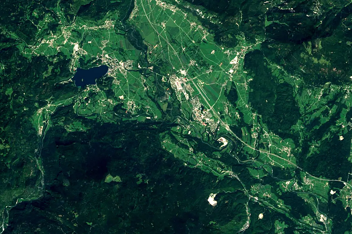
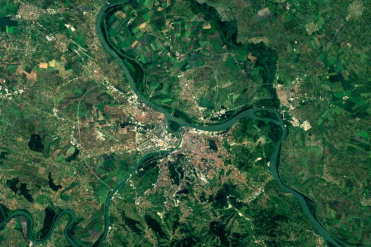
Sentinel-2 cloudless 2016 by EOX IT Services GmbH (contains modified Copernicus Sentinel data 2016), CC BY 4.0. The glowing line is the river as drawn by RiverATLAS.
Photos
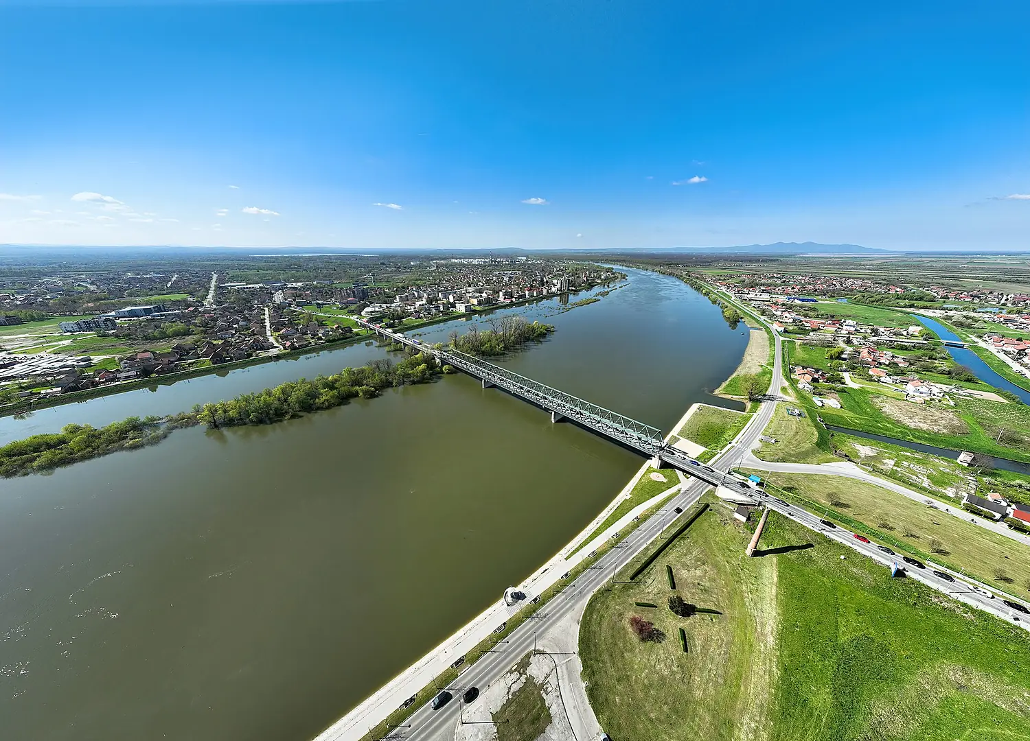
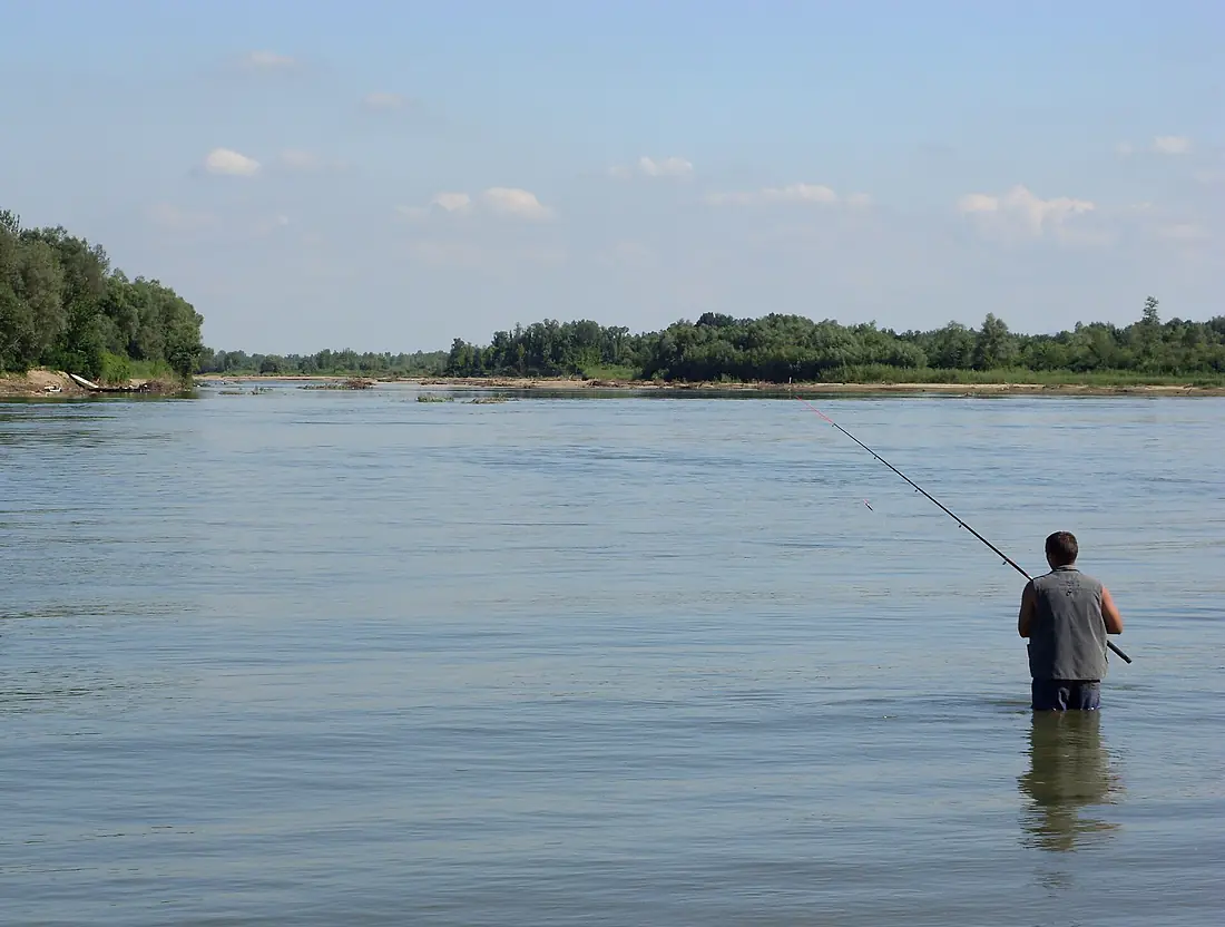
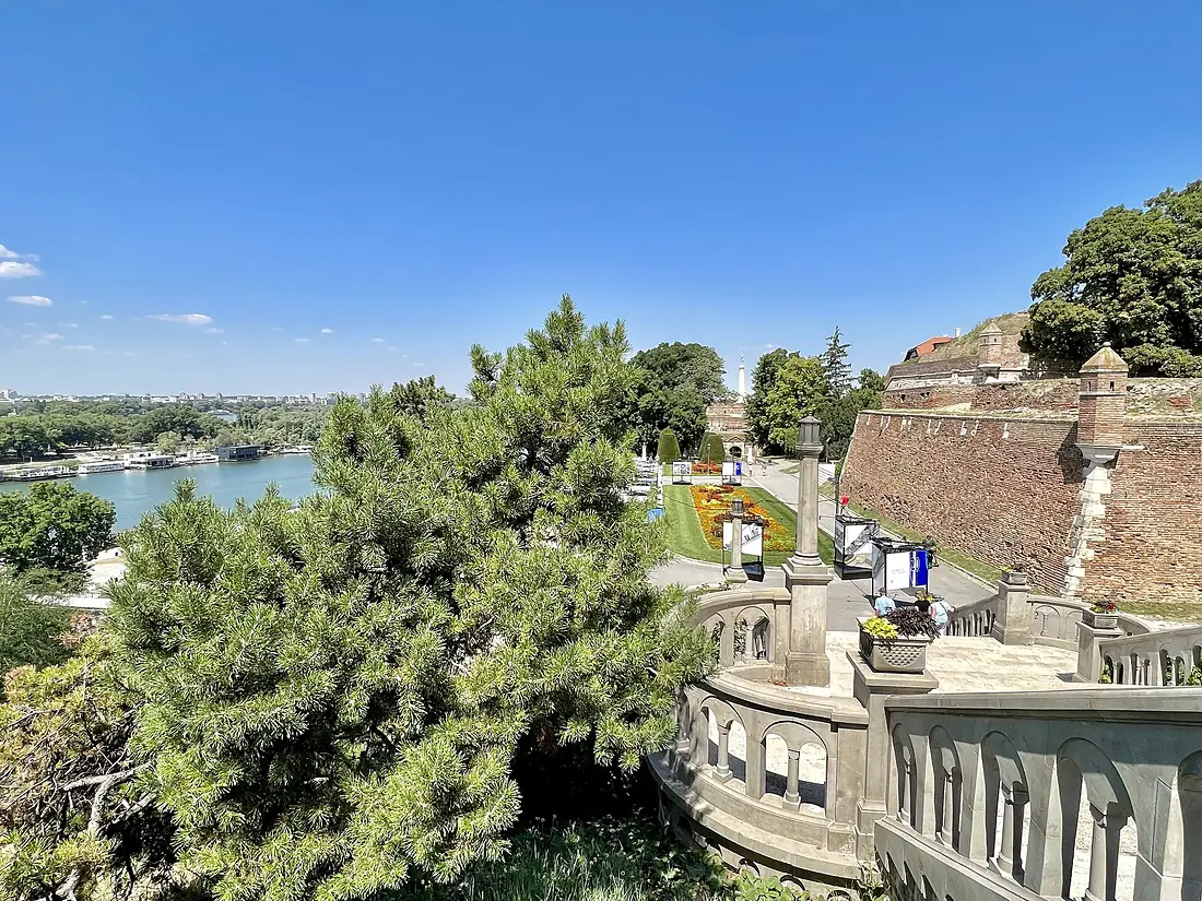
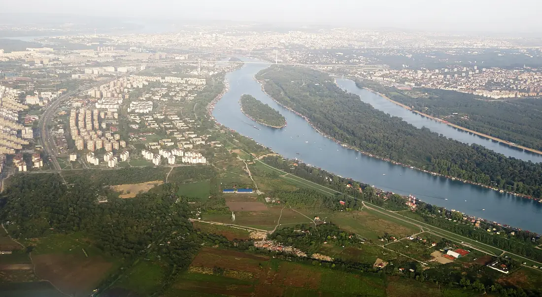
Sava in pictures
Tributaries
Where it flows, and what flows into it
It flows into
Danube Romania2,850 km5,400 m³/s
Tributaries (40)
Serbia346 km120 m³/sjoins at km 655KupaCroatia297 km280 m³/sjoins at km 281BosnaBosnia and Herzegovina282 km140 m³/sjoins at km 532VrbasBosnia and Herzegovina240 km33 m³/sjoins at km 421UnaCroatia207 km200 m³/sjoins at km 350BosutSerbia186 km17 m³/sjoins at km 666SavinjaSlovenia102 km29 m³/sjoins at km 114KrkaSlovenia93 km170 m³/sjoins at km 162SutlaCroatia90 km170 m³/sjoins at km 171LjubljanicaSlovenia85 km25 m³/sjoins at km 61Also: Sava Bohinjka, Kolubara, Sava Dolinka, Pivka, Orljava, Kamnik Bistrica, Krapina, Lonja, Kokra, Sunja, Sora, Tržič Bistrica, Ukrina, Ilomska, Mirna, Topčiderka, Jerez, Jarčina, Mokroluški potok, Kashka, Kustovlyanka, Glogovica, Vrelo, Tinja
 Germany
 Moldova
 Austria
 Hungary
Nearby
Rivers nearby
Where these numbers come from
| Name, length, places | Wikidata (Q14383) · CC0 |
|---|---|
| Course, profile, basin | RiverATLAS v1.0 (HydroATLAS, Linke et al. 2019) · CC BY 4.0 — followed from the source to the mouth given by Wikidata |
| Flow | WaterGAP (RiverATLAS), 1971–2000 · CC BY 4.0 |
| Climate along the river | WorldClim (RiverATLAS), 1970–2000 · CC BY 4.0 |
| Towns, bridges, dams | Wikidata · CC0; GeoNames · CC BY 4.0 |
| Along the river | © OpenStreetMap contributors · ODbL |
| Images | EOX Sentinel-2 cloudless 2016 · CC BY 4.0; Wikimedia Commons |
| Our other atlases | Lakeyas, Peakyas — Wikidata · CC0; © OpenStreetMap contributors · ODbL; GeoNames · CC BY 4.0; HydroLAKES · CC BY 4.0; NOAA OISST |
Every source and licence is on the data sources page.
The family
Do you prefer beaches, lakes, mountains, waterfalls, islands, rivers or canyons?
Same idea, other landscapes: field atlases built on open data, month by month, in seven languages.
 beaches
 Find your beach: sea temperature, sun and swimming month by month.Visit lakes
 Every lake on Earth: water temperature, ice, depth and the shore.Coming soonVisit mountains
 Every summit in 3D: summit weather, the 0 °C line, huts and trails.Visit
  waterfalls
 Every waterfall: height, flow month by month and when it roars.Coming soonVisit
  islands
 Every island from the sea up: size, sea temperature, ferries and 3D.Coming soonVisit
  rivers
 Every river from source to sea: the journey, the flow and the basin in numbers.You are here
 canyons
 Every canyon cut to scale: depth to the floor, rim and floor temperatures, trails and viewpoints.Coming soonVisit