River
Prut
953 km from source to mouth · Moldova, Ukraine and Romania.
 Moldova, Ukraine and RomaniaFlows into Danube1st longest in Moldova
In numbers
Length
953km
Average flow
120m³/s
Basin
27,500km²
Drop
766m
from 766 m to 0 m
Countries
3
The journey
From source to mouth
953 km of river and 57 stops on the way: 27 towns and cities on its banks, dams, bridges and the tributaries that feed it.
- 0 kmCarpathiansat 766 m
- 0 kmPrutskyi Waterfall
- 9 kmVorokhta Viaduct
- 9 kmNew Vorokhta Railway Bridge (East)
- 9 kmVorokhta4,246 people
- 12 kmVorokhta Railway Viaduct (North)
- 37 kmKaplyvets Waterfall
- 44 kmProbiy
- 45 kmPrut bridge
- 46 kmYaremche8,094 people
- 60 kmZarichchia3,841 people
- 61 kmDelyatyn8,276 people
- 66 kmZarichchia Waterfall
- 74 kmLanchyn7,953 people
- 91 kmKnyazhdvir1,875 people
- 104 kmKolomyia60,821 people
- 107 kmNyzhnii Verbizh2,751 people
- 107 kmPistynkatributary
- 135 kmZabolotiv3,998 people
- 145 kmChorniavatributary
- 145 kmRybnytsyatributary
- 165 kmSniatyn9,942 people
- 178 kmCheremosh Rivertributary
- 202 kmMamaivtsi5,818 people
- 214 kmChernivtsi264,298 people
- 227 kmMahala8,876 people
- 267 kmRynhachtributary
- 285 kmCherlenatributary
- 322 kmLipcani–Rădăuți-Prut Bridge
- 352 kmViliatributary
- 370 kmLopatnic817 people
- 397 kmRacovățtributary
- 429 kmCiuhurtributary
- 429 kmVolovăț Rivertributary
- 429 kmLacul Stînca-Costești41 km²
- 429 kmStânca–Costești Dam
- 438 kmBașeu Rivertributary
- 554 kmGârla Maretributary
- 571 kmUngheni34,422 people
- 572 kmEiffel Bridge, Ungheni
- 645 kmJijia Rivertributary
- 670 kmDancu10,000 people
- 693 kmSărata-Răzeși509 people
- 701 kmTochile-Răducani802 people
- 706 kmLăpușnatributary
- 716 kmLeova14,301 people
- 725 kmHănăsenii Noi576 people
- 730 kmSăratatributary
- 735 kmToceni415 people
- 744 kmPorumbești1,006 people
- 784 kmLarga, Prut (Cantemir)tributary
- 790 kmCavadinești2,445 people
- 790 kmElan Rivertributary
- 813 kmOancea1,183 people
- 834 kmMăstăcani3,783 people
- 842 kmFoltești3,262 people
- 867 kmFrumușița5,067 people
- 877 kmLake Beleu12 km²
- 953 kmDanubeat 0 m
Water level along the river (RiverATLAS; the height is exaggerated). Towns: GeoNames and Wikidata; bridges, dams and tributaries: Wikidata.
River in Eastern Europe
At the mouth it carries 121 m³/s on average: an Olympic pool every 21 seconds. It drops from 766 m to 0 m, 0.8 m per kilometre on average. Its basin covers 27,500 km², about the size of HT. 2.9 million people live in it. Highest water: from April to May; lowest: from December to February. Dams and reservoirs hold back a large share of its water (19% of a year's flow).
Where to start
- ChernivtsiLargest city on its banks · 264,298 people
- Suceava Ștefan cel Mare International Airport (SCV)Nearest airport with scheduled flights, 74 km from the cityCar hire at IFO airport (Ivano-Frankivsk)Discover Cars · Affiliate link↗
- On the water1 ferry piers, marinas, boat rentals and boat ramps along the river (OpenStreetMap)
- From May to SeptemberThe best months to visit
Prut, month by month
Highest water: from April to May
Lowest water: from December to February. Best months to visit: from May to September.
From about 97 m³/s in the lowest month to 480 m³/s in the highest. An estimate: the monthly flow is modelled from the lowest and highest months of WaterGAP (RiverATLAS, 1971–2000) and the rain and snow along the river (WorldClim). Dams change the real rhythm. The chip is the average air temperature; below it, the month's rain.
Plan the trip
Plan the trip: boat trips, a bed by the river, a car
Some links above are affiliate links: if you book through them we may earn a commission, at no extra cost to you. It never changes what the data on this page says.
The basin
Prut: the basin in numbers
28,427 km² of land send their water to this river. This is what lives on it.
- 2.9millionpeople live in the basin
- 104/km²people per km²
- 267maverage altitude of the basin
- 611mmof rain a year (basin average)
- 8.6°Caverage air temperature
- 4%protected areas
- 0.8%covered by lakes
- 1.4km³held in reservoirs
What covers the basin
- 18% Forest
- 51% Cropland
- 13% Pasture
- 4% Towns and cities
RiverATLAS (HydroATLAS v1.0, CC BY 4.0): land cover, people, protected areas, glaciers and dams over the whole basin upstream of the mouth.
Along the river
Prut: what you find on the way
- 3WeirsLac
- 14WaterfallsProbii and 13 more
- 1Ferry piersTerminal de Pasageri
- 5River beachesCostesti Beach, Marea Nordului, Delia Beach and 2 more
From OpenStreetMap, within 2.1 km of the river. Not mapped is not the same as not there.
Cross-checked with our atlases
Prut in our other atlases
What our sister atlases know about the waterfalls on this river, the lakes it flows through, the beaches at its mouth, the mountains where it rises and the islands off its mouth.
 4waterfalls on the riverCascadyas
 2lakes on its wayLakeyas
 25mountains at the sourcePeakyas
Waterfalls (4)
On the river, by Cascadyas
- Prutskyi Waterfallkm 0
- Kaplyvets Waterfallkm 28
- Probiykm 34
- Zarichchia Waterfallkm 50
Cascadyas is coming soonOpen Cascadyas ↗
Lakes and reservoirs (2)
Lakes it flows through, by Lakeyas
- Lacul Stînca-Costeștikm 32541km²
- Lake Beleukm 665 · 2 m deep12km²
Lakeyas is coming soonOpen Lakeyas ↗
Mountains at the source (25)
Within 15 km of the source, by Peakyas
- Hoverla4.0 km away · prominence 721 m2,061m
- Chorna Hora (Pip Ivan)14 km away2,028m
- Brebeneskul7.5 km away2,038m
- Petros9.9 km away · prominence 495 m2,020m
- Hutyn Tomnatyk7.0 km away2,016m
- Rebra5.7 km away2,001m
- Menchul8.5 km away1,998m
- Turkul4.7 km away1,933m
17 more on PeakyasOpen Peakyas ↗
From space
The source and the mouth, seen from orbit
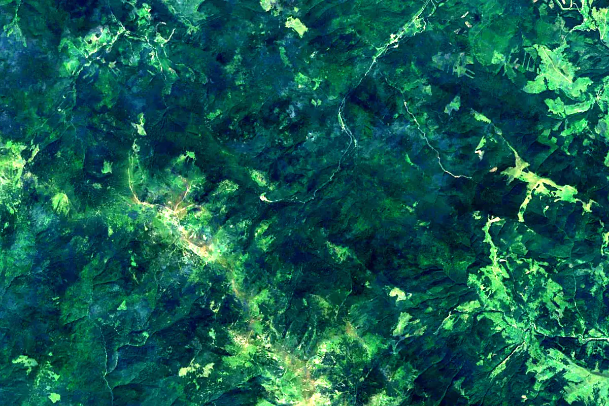
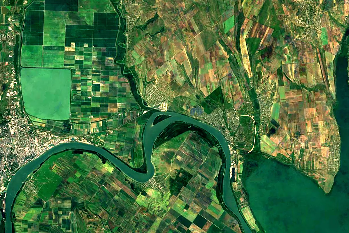
Sentinel-2 cloudless 2016 by EOX IT Services GmbH (contains modified Copernicus Sentinel data 2016), CC BY 4.0. The glowing line is the river as drawn by RiverATLAS.
Photos
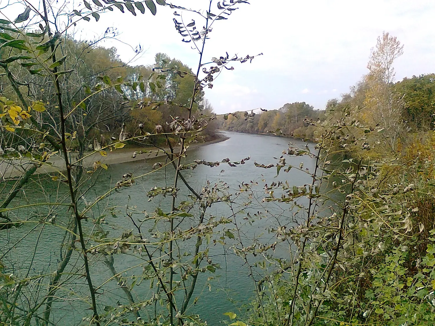
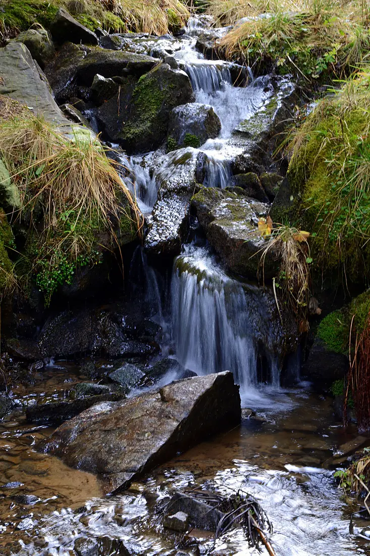
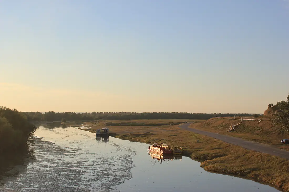
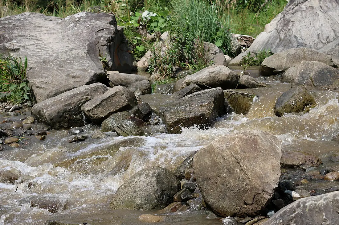
Prut in pictures
Tributaries
Where it flows, and what flows into it
It flows into
DanubeRomania2,850 km5,400 m³/sTributaries (50)
Also: Hertsa, Lopatnic, Pistynka, Ciuhur, Corogea River, Chorniava, Vilia, Racovăț, Rybnytsya, Larga, Prut (Cantemir), Cherlena, Prutets, Camenca (Prut), Larga, Sovytsia, Elan River, Derelui, Rynhach, Shubranets, Bașeu River, Chineja River, Ghireni River, Lăpușna, Medvezha
 Serbia
 Croatia
 Germany
 Austria
 Hungary
Nearby
Rivers nearby
Romania740 km230 m³/s16 km awayBuzău RiverRomania325 km28 m³/s38 km awayBârlad RiverRomania207 km9.0 m³/s58 km awayIalomița RiverRomania414 km70 m³/s89 km awayDniesterUkraine1,352 km310 m³/s183 km awayBistrița RiverRomania272 km66 m³/s150 km awayJijia RiverRomania275 km160 m³/s160 km awayPrahova RiverRomania183 km28 m³/s161 km awayWhere these numbers come from
| Name, length, places | Wikidata (Q182445) · CC0 |
|---|---|
| Course, profile, basin | RiverATLAS v1.0 (HydroATLAS, Linke et al. 2019) · CC BY 4.0 — followed from the source to the mouth given by Wikidata |
| Flow | WaterGAP (RiverATLAS), 1971–2000 · CC BY 4.0 |
| Climate along the river | WorldClim (RiverATLAS), 1970–2000 · CC BY 4.0 |
| Towns, bridges, dams | Wikidata · CC0; GeoNames · CC BY 4.0 |
| Along the river | © OpenStreetMap contributors · ODbL |
| Images | EOX Sentinel-2 cloudless 2016 · CC BY 4.0; Wikimedia Commons |
| Our other atlases | Cascadyas, Lakeyas, Peakyas — Wikidata · CC0; © OpenStreetMap contributors · ODbL; GeoNames · CC BY 4.0; HydroLAKES · CC BY 4.0; NOAA OISST |
Every source and licence is on the data sources page.
The family
Do you prefer beaches, lakes, mountains, waterfalls, islands, rivers or canyons?
Same idea, other landscapes: field atlases built on open data, month by month, in seven languages.
 beaches
 Find your beach: sea temperature, sun and swimming month by month.Visit lakes
 Every lake on Earth: water temperature, ice, depth and the shore.Coming soonVisit mountains
 Every summit in 3D: summit weather, the 0 °C line, huts and trails.Visit waterfalls
 Every waterfall: height, flow month by month and when it roars.Coming soonVisit
  islands
 Every island from the sea up: size, sea temperature, ferries and 3D.Coming soonVisit
  rivers
 Every river from source to sea: the journey, the flow and the basin in numbers.You are here
 canyons
 Every canyon cut to scale: depth to the floor, rim and floor temperatures, trails and viewpoints.Coming soonVisit