River
Cher
365 km from source to mouth · France.
 FranceFlows into Loire
In numbers
Length
365km
Average flow
96m³/s
Basin
13,920km²
Drop
442m
from 481 m to 39 m
Country
1
The journey
From source to mouth
365 km of river and 68 stops on the way: 59 towns and cities on its banks, dams, bridges and the tributaries that feed it.
- 0 kmMérinchalat 481 m
- 0 kmAuzances1,129 people
- 18 kmSaint-Marcel-en-Marcillat130 people
- 22 kmLa Petite-Marche167 people
- 25 kmÉvaux-les-Bains1,277 people
- 30 kmMazirat273 people
- 32 kmTardestributary
- 33 kmTeillet-Argenty555 people
- 37 kmSainte-Thérence179 people
- 40 kmSaint-Genest386 people
- 41 kmLignerolles760 people
- 43 kmVillebret1,335 people
- 46 kmLavault-Sainte-Anne1,139 people
- 51 kmMontluçon33,147 people
- 54 kmDésertines4,259 people
- 58 kmSaint-Victor2,100 people
- 62 kmEstivareilles1,119 people
- 63 kmMagieuretributary
- 63 kmVaux1,165 people
- 66 kmAudes402 people
- 68 kmReugny266 people
- 72 kmNassigny194 people
- 78 kmVallon-en-Sully1,457 people
- 86 kmAumancetributary
- 90 kmUrçay296 people
- 94 kmLételon93 people
- 109 kmSaint-Amand-Montrond9,899 people
- 109 kmOrval1,619 people
- 109 kmMarmandetributary
- 137 kmChâteauneuf-sur-Cher1,360 people
- 149 kmLunery1,486 people
- 157 kmSaint-Florent-sur-Cher6,463 people
- 179 kmQuincy818 people
- 184 kmFoëcy2,046 people
- 195 kmVierzon25,068 people
- 199 kmYèvretributary
- 201 kmArnontributary
- 213 kmChâtres-sur-Cher1,132 people
- 227 kmVillefranche-sur-Cher2,678 people
- 238 kmGièvres2,268 people
- 240 kmChabris2,740 people
- 249 kmSelles-sur-Cher4,184 people
- 252 kmSauldretributary
- 255 kmChâtillon-sur-Cher1,700 people
- 259 kmFouzontributary
- 267 kmNoyers-sur-Cher2,631 people
- 267 kmSaint-Aignan-sur-Cher2,789 people
- 294 kmChissay-en-Touraine1,100 people
- 296 kmSaint-Georges-sur-Cher2,710 people
- 300 kmFrancueil1,461 people
- 301 kmChâteau de Chenonceau
- 301 kmChenonceaux334 people
- 303 kmCivray-de-Touraine1,819 people
- 309 kmBléré5,352 people
- 309 kmLa Croix-en-Touraine2,543 people
- 316 kmAthée-sur-Cher2,855 people
- 317 kmSaint-Martin-le-Beau3,216 people
- 325 kmAzay-sur-Cher3,243 people
- 327 kmVéretz4,644 people
- 331 kmLarçay2,657 people
- 336 kmSaint-Pierre-des-Corps15,898 people
- 336 kmSaint-Avertin14,999 people
- 339 kmTours139,259 people
- 341 kmJoué-lès-Tours38,423 people
- 342 kmLa Riche10,487 people
- 347 kmIndre-et-Loire619,362 people
- 347 kmBallan-Miré8,477 people
- 353 kmSavonnières3,392 people
- 361 kmCinq-Mars-la-Pile4,015 people
- 365 kmLoireat 39 m
Water level along the river (RiverATLAS; the height is exaggerated). Towns: GeoNames and Wikidata; bridges, dams and tributaries: Wikidata.
River in central France
At the mouth it carries 96 m³/s on average: an Olympic pool every 26 seconds. It drops from 481 m to 39 m, 1.2 m per kilometre on average. Its basin covers 13,920 km², about the size of BS. 681,000 people live in it. Highest water: from December to February. No large dam holds it back: it is one of the world's free-flowing rivers.
Where to start
- Indre-et-LoireLargest city on its banks · 619,362 people
- Tours Val de Loire Airport (TUF)Nearest airport with scheduled flights, 21 km from the cityCar hire in SaumurDiscover Cars · Affiliate link↗
- On the water48 ferry piers, marinas, boat rentals and boat ramps along the river (OpenStreetMap)
- From May to SeptemberThe best months to visit
Cher, month by month
Highest water: from December to February
Best months to visit: from May to September.
From about 37 m³/s in the lowest month to 150 m³/s in the highest. An estimate: the monthly flow is modelled from the lowest and highest months of WaterGAP (RiverATLAS, 1971–2000) and the rain and snow along the river (WorldClim). Dams change the real rhythm. The chip is the average air temperature; below it, the month's rain.
Plan the trip
Plan the trip: boat trips, a bed by the river, a car
Some links above are affiliate links: if you book through them we may earn a commission, at no extra cost to you. It never changes what the data on this page says.
The basin
Cher: the basin in numbers
13,664 km² of land send their water to this river. This is what lives on it.
- 681,000people live in the basin
- 50/km²people per km²
- 231maverage altitude of the basin
- 730mmof rain a year (basin average)
- 10.7°Caverage air temperature
- 0.1%covered by lakes
- 0.0km³held in reservoirs
What covers the basin
- 13% Forest
- 46% Cropland
- 20% Pasture
- 2% Towns and cities
RiverATLAS (HydroATLAS v1.0, CC BY 4.0): land cover, people, protected areas, glaciers and dams over the whole basin upstream of the mouth.
Along the river
Cher: what you find on the way
- 90WeirsBarrage des Mazelles, Barrage de Savonnières and 88 more
- 105LocksCanal de Berry, Écluse de Chavières, Écluse de la Métairie Basse and 102 more
- 2WaterfallsCascade
- 39Boat rampsCale de Luynes, Port and 37 more
- 1Marinas
- 6River beachesPlage de Villedieu, Plage de Montrichard, Bléré plage and 3 more
From OpenStreetMap, within 1.9 km of the river. Not mapped is not the same as not there.
From space
The source and the mouth, seen from orbit
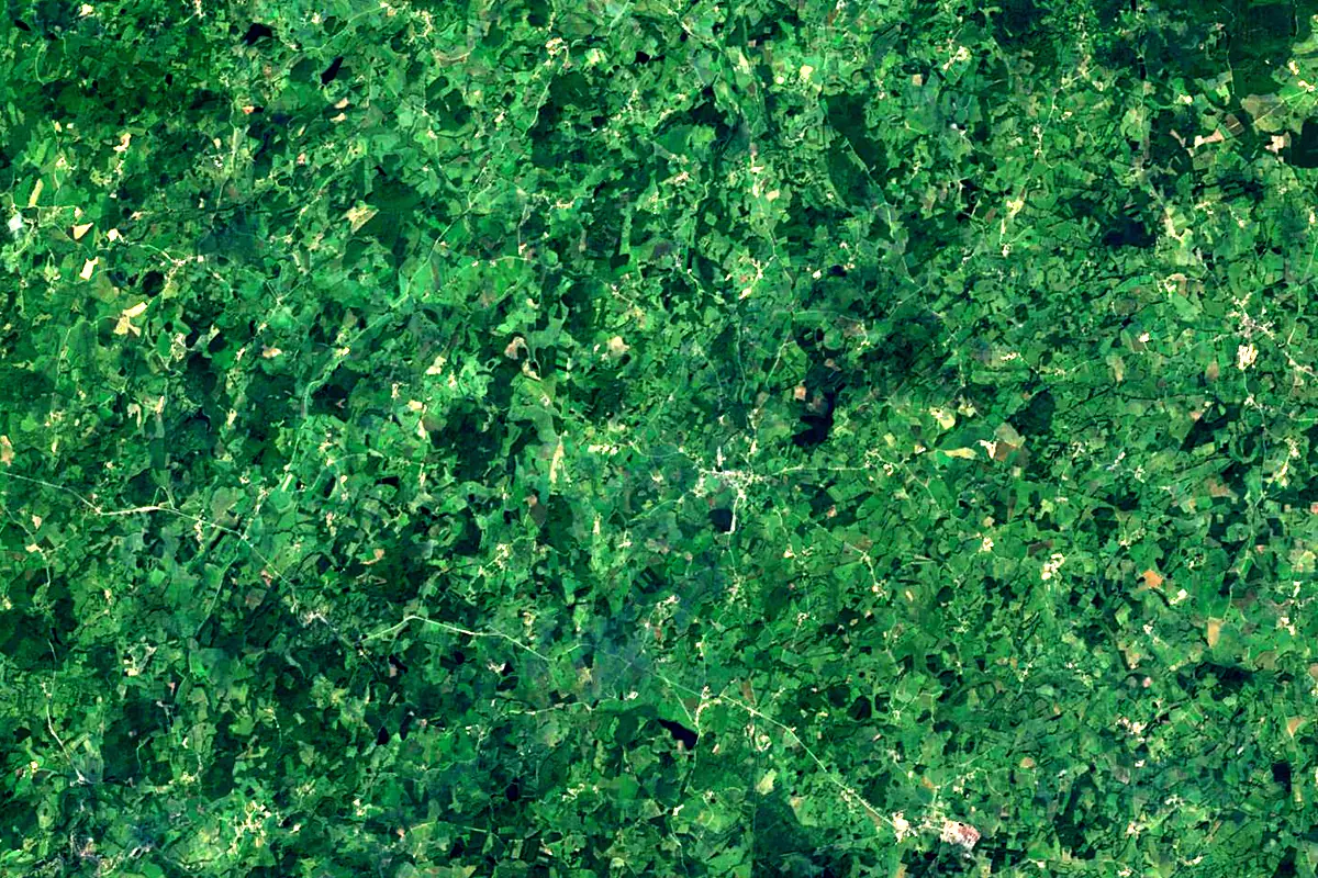
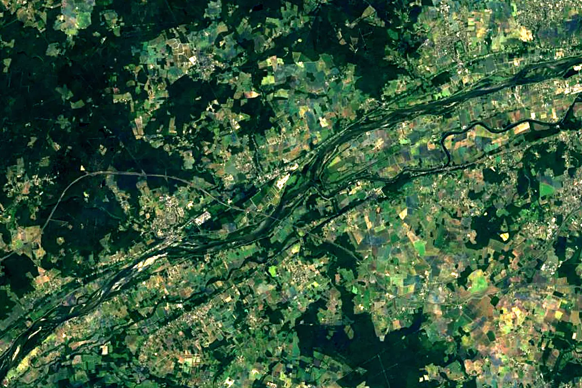
Sentinel-2 cloudless 2016 by EOX IT Services GmbH (contains modified Copernicus Sentinel data 2016), CC BY 4.0. The glowing line is the river as drawn by RiverATLAS.
Photos
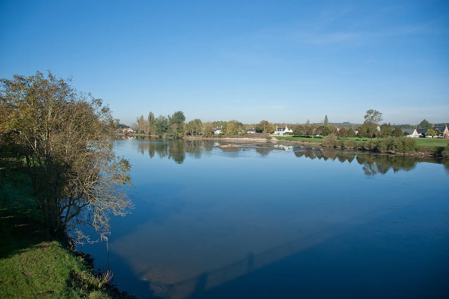
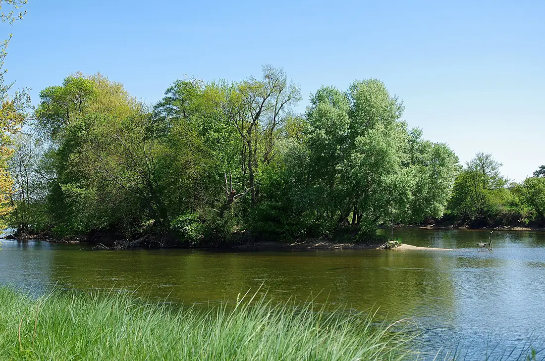
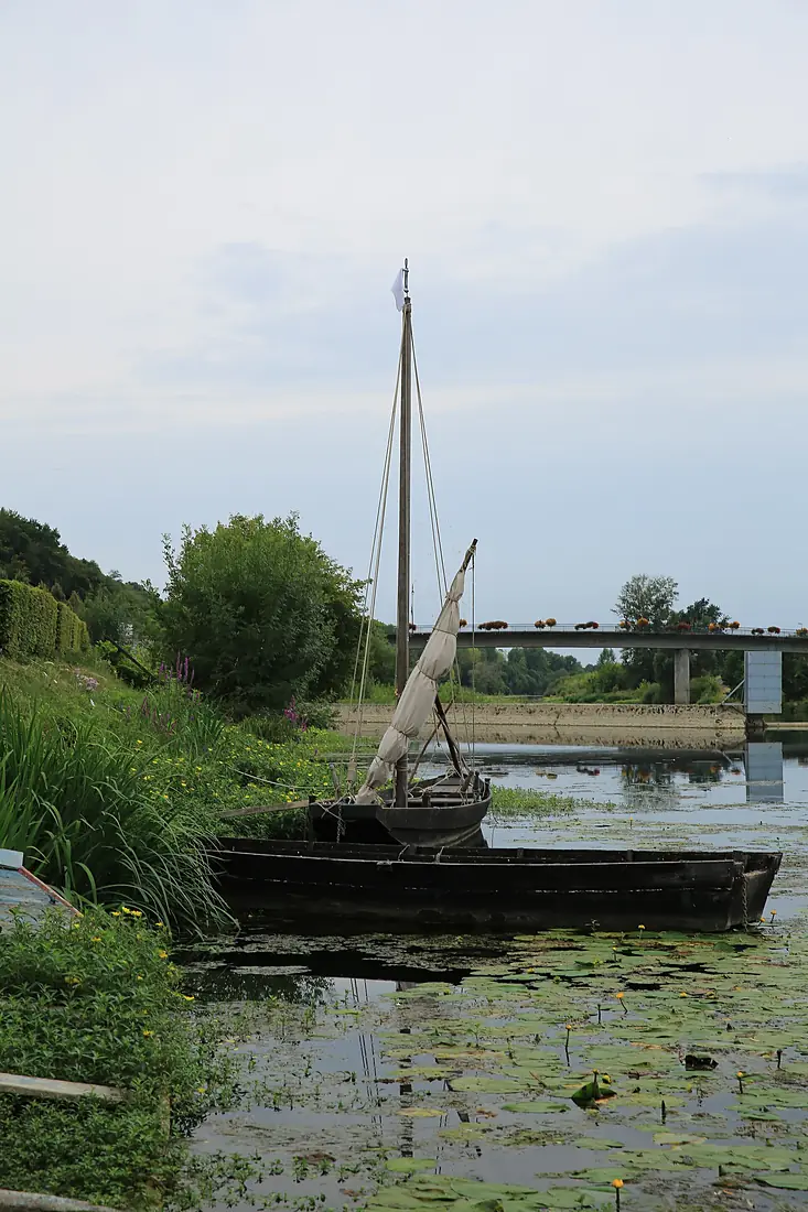
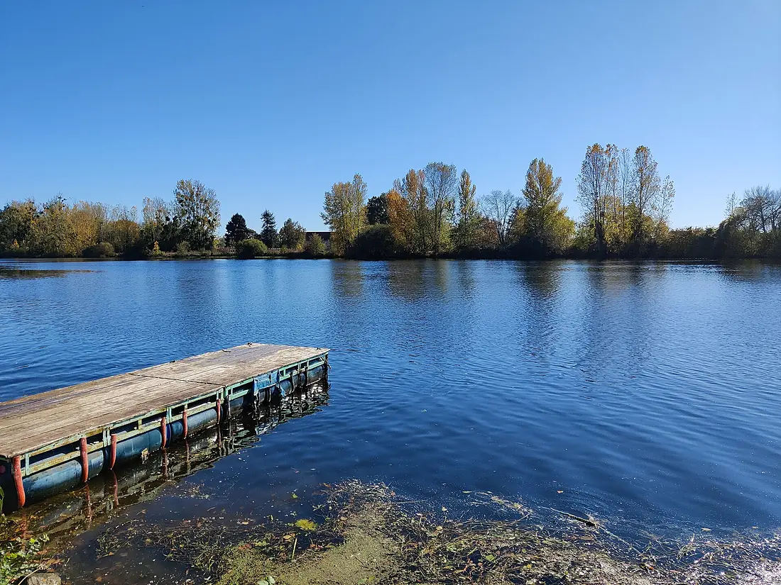
Cher in pictures
Tributaries
Where it flows, and what flows into it
It flows into
LoireFrance1,006 km840 m³/sTributaries (21)
Also: Arnon, Sauldre, Yèvre, Tardes, Fouzon, Aumance, Magieure, Marmande, Queugne, Prée, Tartasse, Boron, Loubière, Trian, Modon, Amaron, Polier, Chézelles, Filet, Chadet, Pampeluze
Nearby
Rivers nearby
Where these numbers come from
| Name, length, places | Wikidata (Q213503) · CC0 |
|---|---|
| Course, profile, basin | RiverATLAS v1.0 (HydroATLAS, Linke et al. 2019) · CC BY 4.0 — followed from the source to the mouth given by Wikidata |
| Flow | WaterGAP (RiverATLAS), 1971–2000 · CC BY 4.0 |
| Climate along the river | WorldClim (RiverATLAS), 1970–2000 · CC BY 4.0 |
| Towns, bridges, dams | Wikidata · CC0; GeoNames · CC BY 4.0 |
| Along the river | © OpenStreetMap contributors · ODbL |
| Images | EOX Sentinel-2 cloudless 2016 · CC BY 4.0; Wikimedia Commons |
Every source and licence is on the data sources page.
The family
Do you prefer beaches, lakes, mountains, waterfalls, islands, rivers or canyons?
Same idea, other landscapes: field atlases built on open data, month by month, in seven languages.
 beaches
 Find your beach: sea temperature, sun and swimming month by month.Visit
  lakes
lakes Every lake on Earth: water temperature, ice, depth and the shore.Coming soonVisit
  mountains
 Every summit in 3D: summit weather, the 0 °C line, huts and trails.Visit
  waterfalls
 Every waterfall: height, flow month by month and when it roars.Coming soonVisit
  islands
 Every island from the sea up: size, sea temperature, ferries and 3D.Coming soonVisit
  rivers
 Every river from source to sea: the journey, the flow and the basin in numbers.You are here
 canyons
 Every canyon cut to scale: depth to the floor, rim and floor temperatures, trails and viewpoints.Coming soonVisit