River
Creuse
263 km from source to mouth · France.
 FranceFlows into Vienne
In numbers
Length
263km
Average flow
85m³/s
Basin
9,570km²
Drop
490m
from 529 m to 39 m
Country
1
The journey
From source to mouth
263 km of river and 68 stops on the way: 58 towns and cities on its banks, dams, bridges and the tributaries that feed it.
- 0 kmLe Mas-d'Artigeat 529 m
- 0 kmClairavaux151 people
- 1 kmCroze185 people
- 7 kmSaint-Quentin-la-Chabanne362 people
- 10 kmFelletin1,577 people
- 14 kmMoutier-Rozeille432 people
- 20 kmAubusson3,018 people
- 20 kmBeauzetributary
- 21 kmBlessac525 people
- 23 kmSaint-Maixant222 people
- 25 kmAlleyrat144 people
- 31 kmSaint-Médard-la-Rochette559 people
- 35 kmSaint-Martial-le-Mont265 people
- 36 kmFransèches240 people
- 42 kmAhun1,394 people
- 44 kmCressat512 people
- 52 kmPionnat721 people
- 55 kmSainte-Feyre2,566 people
- 55 kmSaint-Laurent670 people
- 57 kmAjain1,019 people
- 63 kmSaint-Fiel1,087 people
- 65 kmGlénic625 people
- 68 kmJouillat387 people
- 74 kmChampsanglard253 people
- 74 kmAnzême551 people
- 80 kmLe Bourg-d'Hem226 people
- 86 kmLa Celle-Dunoise534 people
- 87 kmSaint-Sulpice-le-Dunois564 people
- 92 kmVillard381 people
- 96 kmMaison-Feyne283 people
- 98 kmFresselines509 people
- 100 kmPetite Creusetributary
- 104 kmCrozant431 people
- 112 kmÉguzon-Chantôme1,301 people
- 113 kmSaint-Plantaire601 people
- 113 kmLac de Chambon1.7 km²
- 118 kmCuzion476 people
- 120 kmBaraize352 people
- 123 kmGargilesse-Dampierre262 people
- 123 kmGargilessetributary
- 126 kmBadecon-le-Pin748 people
- 127 kmCeaulmont670 people
- 133 kmLe Pêchereau1,744 people
- 136 kmArgenton-sur-Creuse4,786 people
- 137 kmSaint-Marcel1,514 people
- 142 kmLe Pont-Chrétien-Chabenet917 people
- 145 kmBouzannetributary
- 147 kmThenay893 people
- 147 kmSaint-Gaultier1,701 people
- 165 kmCiron520 people
- 169 kmÉtang des Grandes Fourdines0.6 km²
- 172 kmRuffec562 people
- 182 kmLe Blanc6,164 people
- 189 kmPouligny-Saint-Pierre1,023 people
- 201 kmTournon-Saint-Martin1,112 people
- 202 kmTournon-Saint-Pierre426 people
- 205 kmSuintributary
- 212 kmYzeures-sur-Creuse1,348 people
- 215 kmGartempetributary
- 216 kmLa Roche-Posay1,566 people
- 229 kmBarrou478 people
- 242 kmAbilly1,116 people
- 242 kmClaisetributary
- 246 kmDescartes3,369 people
- 248 kmBuxeuil887 people
- 252 kmEsvestributary
- 253 kmLes Ormes1,613 people
- 257 kmLa Celle-Saint-Avant1,079 people
- 261 kmNouâtre786 people
- 263 kmVienneat 39 m
Water level along the river (RiverATLAS; the height is exaggerated). Towns: GeoNames and Wikidata; bridges, dams and tributaries: Wikidata.
River in France, tributary of the Vienne
At the mouth it carries 85 m³/s on average: an Olympic pool every 29 seconds. It drops from 529 m to 39 m, 1.9 m per kilometre on average. Its basin covers 9,570 km², about the size of CY. 241,000 people live in it. Highest water: from December to February. Its dams hold back little of its water (2.9% of a year's flow).
Where to start
- Le BlancLargest city on its banks · 6,164 people
- Poitiers-Biard Airport (PIS)Nearest airport with scheduled flights, 58 km from the cityCar hire at LIG airport (Limoges/Bellegarde)Discover Cars · Affiliate link↗
- On the water30 ferry piers, marinas, boat rentals and boat ramps along the river (OpenStreetMap)
- From May to SeptemberThe best months to visit
Creuse, month by month
Highest water: from December to February
Best months to visit: from May to September.
From about 35 m³/s in the lowest month to 130 m³/s in the highest. An estimate: the monthly flow is modelled from the lowest and highest months of WaterGAP (RiverATLAS, 1971–2000) and the rain and snow along the river (WorldClim). Dams change the real rhythm. The chip is the average air temperature; below it, the month's rain.
Plan the trip
Plan the trip: boat trips, a bed by the river, a car
Some links above are affiliate links: if you book through them we may earn a commission, at no extra cost to you. It never changes what the data on this page says.
The basin
Creuse: the basin in numbers
9,539 km² of land send their water to this river. This is what lives on it.
- 241,000people live in the basin
- 25/km²people per km²
- 269maverage altitude of the basin
- 836mmof rain a year (basin average)
- 10.8°Caverage air temperature
- 22%protected areas
- 0.4%covered by lakes
- 0.1km³held in reservoirs
What covers the basin
- 14% Forest
- 29% Cropland
- 25% Pasture
RiverATLAS (HydroATLAS v1.0, CC BY 4.0): land cover, people, protected areas, glaciers and dams over the whole basin upstream of the mouth.
Along the river
Creuse: what you find on the way
- 54Weirs
- 3WaterfallsCascade des Moulines, La Pisserotte
- 23Boat rampsStade de Descente Classique, Base Sport Nature VTT Canoe and 22 more
- 11River beachesPlage de Lavaud, Le Bourg d'Hem plage, Plage de Fougères and 8 more
From OpenStreetMap, within 1.8 km of the river. Not mapped is not the same as not there.
Cross-checked with our atlases
Creuse in our other atlases
What our sister atlases know about the waterfalls on this river, the lakes it flows through, the beaches at its mouth, the mountains where it rises and the islands off its mouth.
 2lakes on its wayLakeyas
Lakes and reservoirs (2)
Lakes it flows through, by Lakeyas
- Lac de Chambonkm 991.7km²
- Étang des Grandes Fourdineskm 1470.6km²
Lakeyas is coming soonOpen Lakeyas ↗
From space
The source and the mouth, seen from orbit
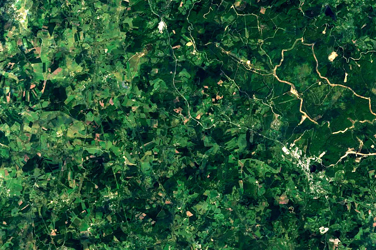
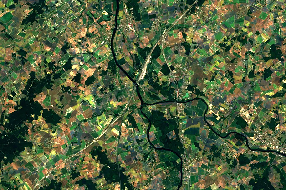
Sentinel-2 cloudless 2016 by EOX IT Services GmbH (contains modified Copernicus Sentinel data 2016), CC BY 4.0. The glowing line is the river as drawn by RiverATLAS.
Photos
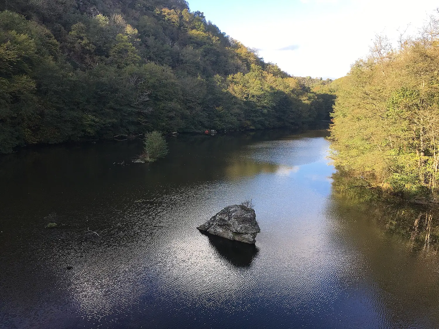
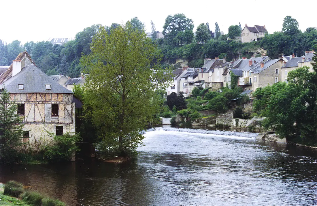
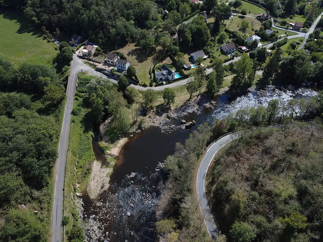
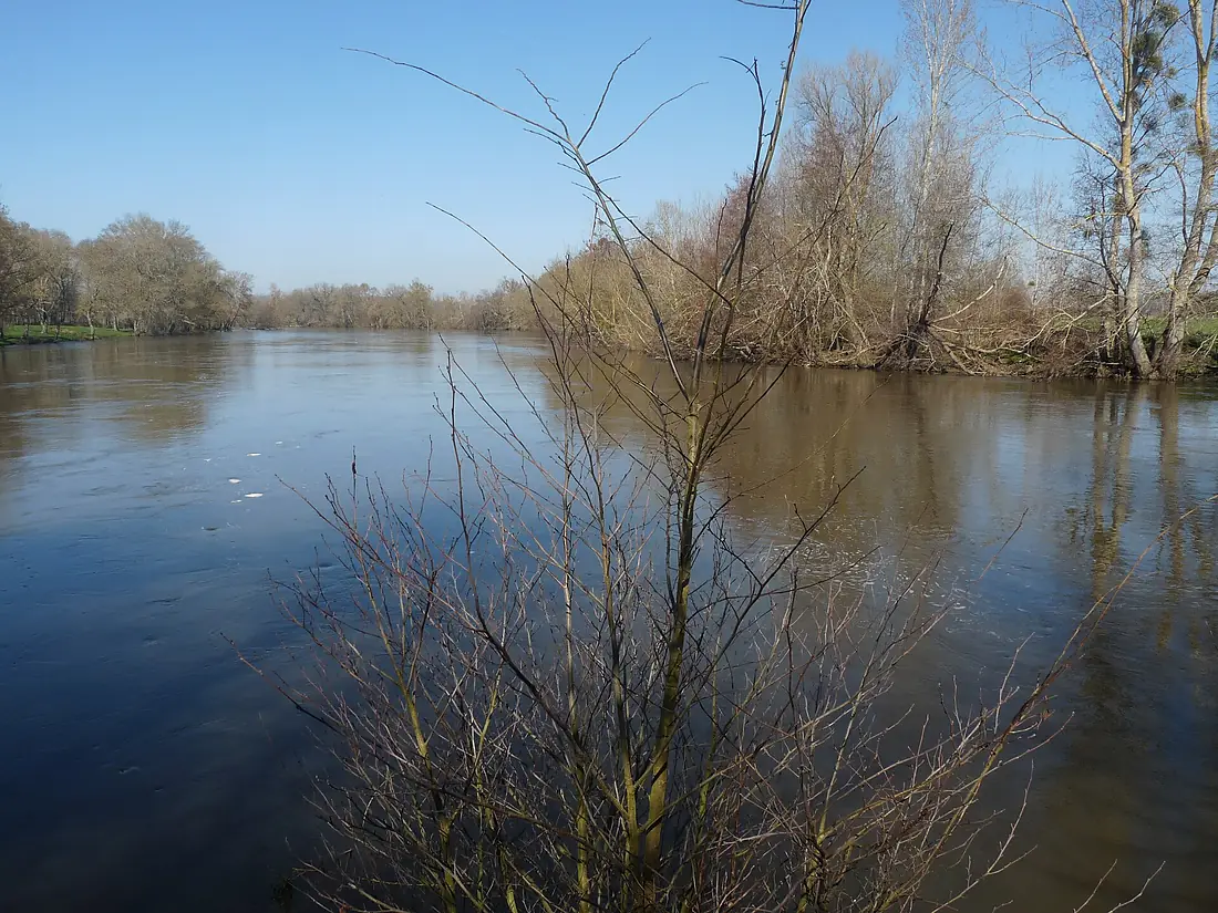
Creuse in pictures
Tributaries
Where it flows, and what flows into it
It flows into
VienneFrance372 km210 m³/sTributaries (12)
Also: Gartempe, Petite Creuse, Bouzanne, Claise, Sédelle, Esves, Rozeille, Suin, Gargilesse, Beauze, Luire, Brion
Nearby
Rivers nearby
Where these numbers come from
| Name, length, places | Wikidata (Q841451) · CC0 |
|---|---|
| Course, profile, basin | RiverATLAS v1.0 (HydroATLAS, Linke et al. 2019) · CC BY 4.0 — followed from the source to the mouth given by Wikidata |
| Flow | WaterGAP (RiverATLAS), 1971–2000 · CC BY 4.0 |
| Climate along the river | WorldClim (RiverATLAS), 1970–2000 · CC BY 4.0 |
| Towns, bridges, dams | Wikidata · CC0; GeoNames · CC BY 4.0 |
| Along the river | © OpenStreetMap contributors · ODbL |
| Images | EOX Sentinel-2 cloudless 2016 · CC BY 4.0; Wikimedia Commons |
| Our other atlases | Lakeyas — Wikidata · CC0; © OpenStreetMap contributors · ODbL; GeoNames · CC BY 4.0; HydroLAKES · CC BY 4.0; NOAA OISST |
Every source and licence is on the data sources page.
The family
Do you prefer beaches, lakes, mountains, waterfalls, islands, rivers or canyons?
Same idea, other landscapes: field atlases built on open data, month by month, in seven languages.
 beaches
 Find your beach: sea temperature, sun and swimming month by month.Visit lakes
 Every lake on Earth: water temperature, ice, depth and the shore.Coming soonVisit
  mountains
 Every summit in 3D: summit weather, the 0 °C line, huts and trails.Visit
  waterfalls
 Every waterfall: height, flow month by month and when it roars.Coming soonVisit
  islands
 Every island from the sea up: size, sea temperature, ferries and 3D.Coming soonVisit
  rivers
 Every river from source to sea: the journey, the flow and the basin in numbers.You are here
 canyons
 Every canyon cut to scale: depth to the floor, rim and floor temperatures, trails and viewpoints.Coming soonVisit