River
Minnesota River
534 km from source to mouth · United States.
 United StatesFlows into Mississippi River
In numbers
Length
534km
Average flow
120m³/s
Basin
44,000km²
Drop
103m
from 293 m to 190 m
Country
1
The journey
From source to mouth
534 km of river and 52 stops on the way: 18 towns and cities on its banks, dams, bridges and the tributaries that feed it.
- 0 kmBig Stone Lakeat 293 m
- 11 kmBig Stone Lake45 km²
- 12 kmWhetstone Rivertributary
- 40 kmYellow Bank Rivertributary
- 54 kmPomme de Terre Rivertributary
- 54 kmMarsh Lake18 km²
- 83 kmLac qui Parle Rivertributary
- 84 kmLac qui Parle23 km²
- 104 kmChippewa Rivertributary
- 104 kmMontevideo5,217 people
- 157 kmYellow Medicine Rivertributary
- 200 kmRedwood Rivertributary
- 280 kmNew Ulm13,327 people
- 297 kmCottonwood Rivertributary
- 297 kmLittle Cottonwood Rivertributary
- 334 kmNorth Mankato13,529 people
- 336 kmMankato41,044 people
- 341 kmBlue Earth Rivertributary
- 356 kmOakleaf Lake0.4 km²
- 361 kmLake Emily0.9 km²
- 362 kmSaint Peter11,196 people
- 362 kmBroadway Bridge
- 385 kmLe Sueur3,999 people
- 422 kmBelle Plaine6,918 people
- 439 kmJordan6,076 people
- 446 kmRapids Lake0.7 km²
- 451 kmCarver4,311 people
- 453 kmGifford Lake0.4 km²
- 455 kmChaska Bridge
- 456 kmChaska25,199 people
- 463 kmHolmes Street Bridge
- 463 kmShakopee39,981 people
- 464 kmShakopee Bridge
- 466 kmLake Riley1.1 km²
- 478 kmBloomington Ferry Bridge
- 479 kmBloomington Ferry Trail Bridge
- 479 kmRice Lake0.5 km²
- 483 kmDan Patch Line Bridge
- 484 kmCredit Rivertributary
- 485 kmSavage30,391 people
- 489 kmBurnsville61,481 people
- 490 kmI-35W Minnesota River bridge
- 490 kmBloomington89,987 people
- 496 kmBlack Dog Lake2.0 km²
- 497 kmCedar Avenue Bridge
- 500 kmEagan68,855 people
- 503 kmI-494 Minnesota River Bridge
- 504 kmFort Snelling440 people
- 506 kmSnelling Lake0.4 km²
- 507 kmMendota Bridge
- 511 kmMendota Heights11,744 people
- 512 kmPickerel Lake0.4 km²
- 512 kmWest Saint Paul19,540 people
- 534 kmMississippi Riverat 190 m
Water level along the river (RiverATLAS; the height is exaggerated). Towns: GeoNames and Wikidata; bridges, dams and tributaries: Wikidata.
River in Minnesota, United States
At the mouth it carries 125 m³/s on average: an Olympic pool every 20 seconds. It drops from 293 m to 190 m, 0.2 m per kilometre on average. Its basin covers 44,000 km², about the size of DK. 3.4 million people live in it. Highest water: from May to June; lowest: from December to March. Dams and reservoirs hold back a large share of its water (28% of a year's flow).
Where to start
- BloomingtonLargest city on its banks · 89,987 people
- Minneapolis–Saint Paul International Airport / Wold–Chamberlain Field (MSP)Nearest airport with scheduled flights, 7 km from the cityCar hire at MSP airport (Minneapolis)Discover Cars · Affiliate link↗
- On the water48 ferry piers, marinas, boat rentals and boat ramps along the river (OpenStreetMap)
- Kayak and canoe2 put-ins and rapids mapped (OpenStreetMap)
- From May to SeptemberThe best months to visit
Minnesota River, month by month
Highest water: from May to June
Lowest water: from December to March. Freezing months (average below −4 °C): from December to February. Best months to visit: from May to September.
From about 420 m³/s in the lowest month to 580 m³/s in the highest. An estimate: the monthly flow is modelled from the lowest and highest months of WaterGAP (RiverATLAS, 1971–2000) and the rain and snow along the river (WorldClim). Dams change the real rhythm. The chip is the average air temperature; below it, the month's rain.
Plan the trip
Plan the trip: boat trips, a bed by the river, a car
Some links above are affiliate links: if you book through them we may earn a commission, at no extra cost to you. It never changes what the data on this page says.
The basin
Minnesota River: the basin in numbers
95,260 km² of land send their water to this river. This is what lives on it.
- 3.4millionpeople live in the basin
- 38/km²people per km²
- 366maverage altitude of the basin
- 679mmof rain a year (basin average)
- 5.6°Caverage air temperature
- 3%protected areas
- 4.9%covered by lakes
- 4.5km³held in reservoirs
What covers the basin
- 31% Forest
- 50% Cropland
- 4% Pasture
- 2% Towns and cities
RiverATLAS (HydroATLAS v1.0, CC BY 4.0): land cover, people, protected areas, glaciers and dams over the whole basin upstream of the mouth.
Along the river
Minnesota River: what you find on the way
- 5Weirs
- 21WaterfallsSwan Lake Fall, Minnewankon Falls, Minnemishinona Falls and 18 more
- 2Rapids
- 45Boat rampsRussell A. Sorenson Landing, Snelling Lake Boat Launch and 43 more
- 2MarinasWatergate Marina
- 4River beachesHiniker Pond Public Beach, Clayhole Beach, Snelling Beach and 1 more
From OpenStreetMap, within 2.4 km of the river. Not mapped is not the same as not there.
Cross-checked with our atlases
Minnesota River in our other atlases
What our sister atlases know about the waterfalls on this river, the lakes it flows through, the beaches at its mouth, the mountains where it rises and the islands off its mouth.
 12lakes on its wayLakeyas
 1mountain at the sourcePeakyas
Lakes and reservoirs (12)
Lakes it flows through, by Lakeyas
- Big Stone Lakekm 9 · 5 m deep45km²
- Marsh Lakekm 4418km²
- Lac qui Parlekm 6823km²
- Lake Emilykm 2950.9km²
- Rapids Lakekm 3640.7km²
- Lake Rileykm 3811.1km²
- Rice Lakekm 3920.5km²
- Black Dog Lakekm 4062.0km²
4 more on LakeyasLakeyas is coming soonOpen Lakeyas ↗
Mountains at the source (1)
Within 15 km of the source, by Peakyas
- Big Tom Hill14 km away
From space
The source and the mouth, seen from orbit
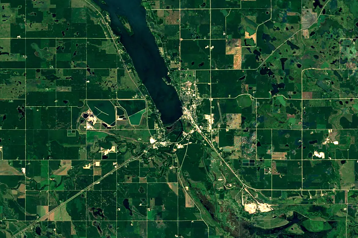
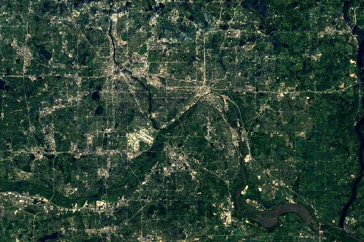
Sentinel-2 cloudless 2016 by EOX IT Services GmbH (contains modified Copernicus Sentinel data 2016), CC BY 4.0. The glowing line is the river as drawn by RiverATLAS.
Photos
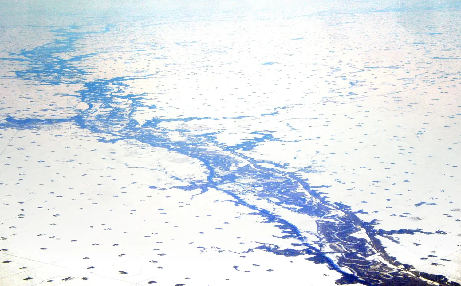
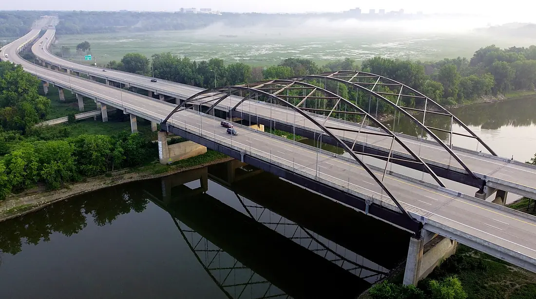
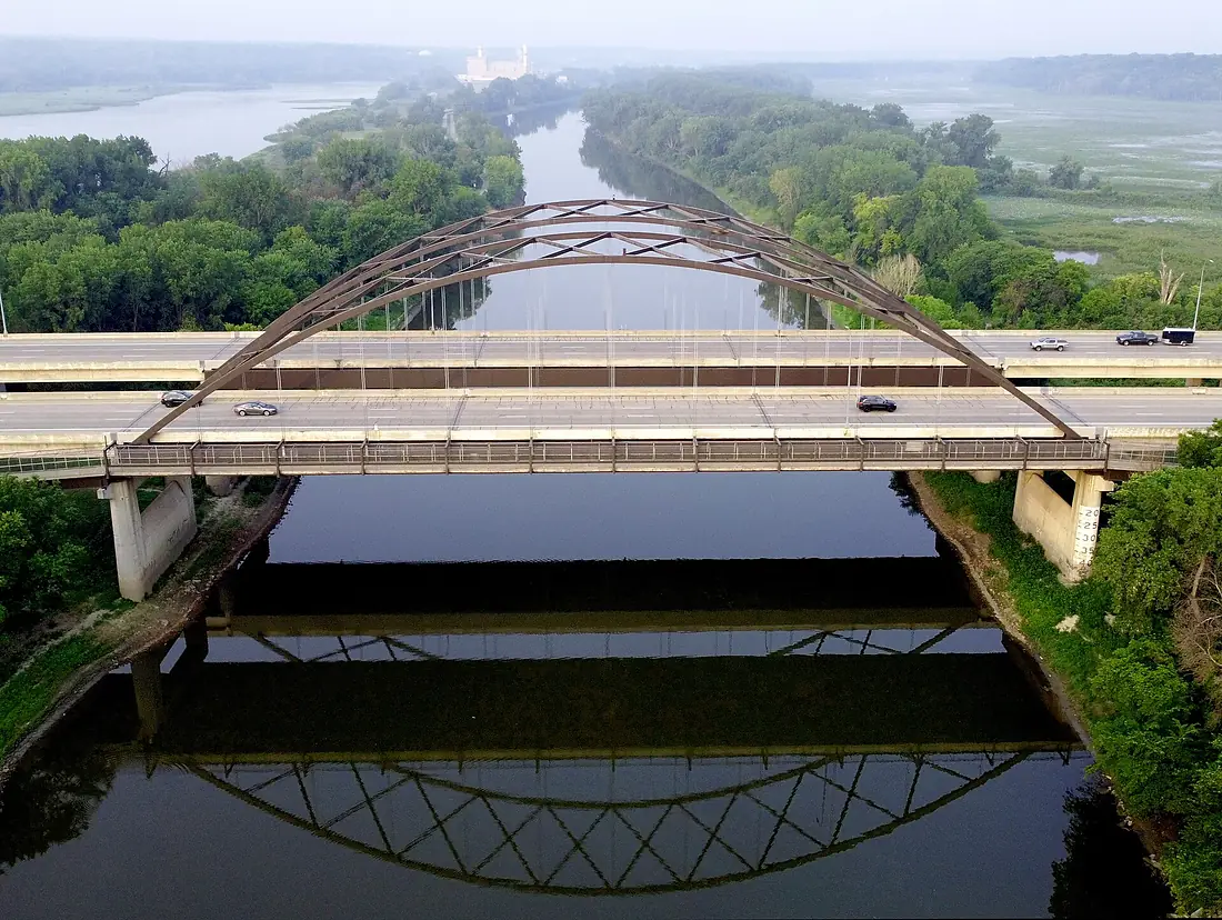
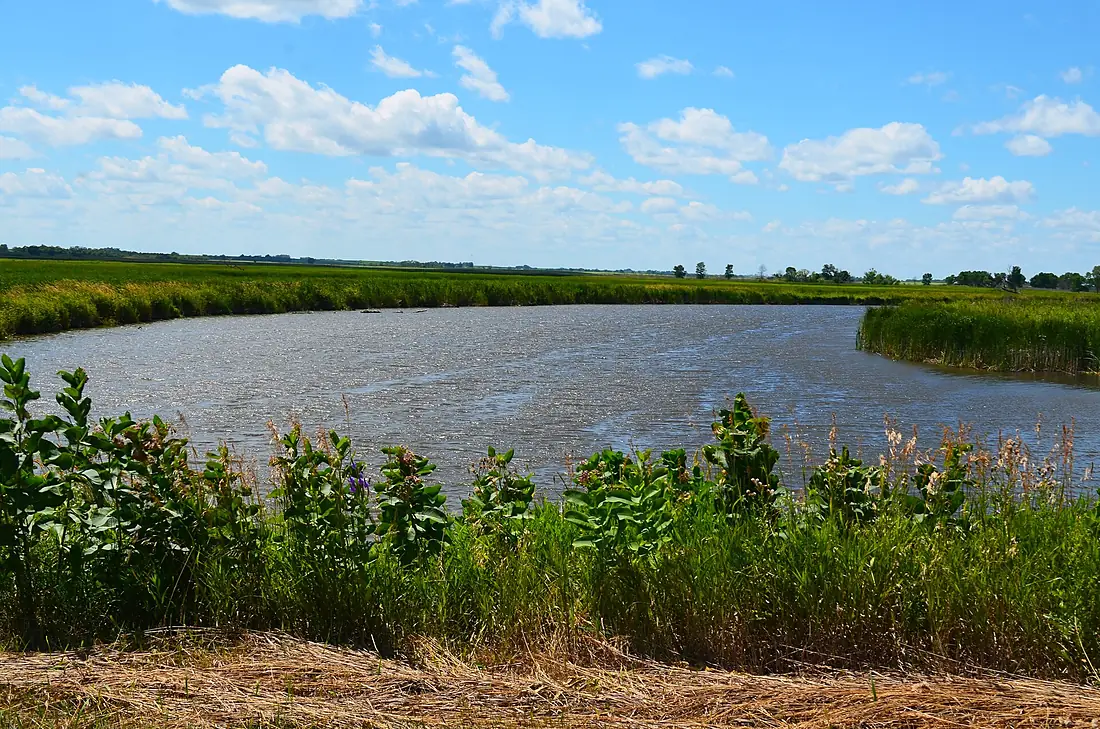
Minnesota River in pictures
Tributaries
Where it flows, and what flows into it
It flows into
Mississippi RiverUnited States3,766 km12,700 m³/sTributaries (20)
Also: Blue Earth River, Cottonwood River, Pomme de Terre River, Chippewa River, Little Minnesota River, Lac qui Parle River, Redwood River, Whetstone River, Rush River, Little Cottonwood River, Yellow Bank River, Yellow Medicine River, Credit River, High Island Creek, Sand Creek, Nine Mile Creek, Morgan Creek, Beaver Creek, Eightmile Creek, Little Rock Creek
In the same basin
United States3,726 km2,500 m³/sOhio RiverUnited States1,579 km8,000 m³/sArkansas RiverUnited States2,364 km240 m³/sTennessee RiverUnited States1,049 km2,000 m³/sRed RiverUnited States2,189 km1,900 m³/sYellowstone RiverUnited States1,114 km390 m³/sPlatte RiverUnited States500 km200 m³/sCanadian RiverUnited States1,458 km200 m³/sIllinois RiverUnited States432 km660 m³/sAllegheny RiverUnited States523 km560 m³/sNearby
Rivers nearby
United States692 km340 m³/s266 km awayJames RiverUnited States1,143 km18 m³/s401 km awayRock RiverUnited States459 km190 m³/s432 km awayPlatte RiverUnited States500 km200 m³/s484 km awayIowa RiverUnited States520 km280 m³/s450 km awayNiobrara RiverUnited States915 km1,000 m³/s459 km awayWhere these numbers come from
| Name, length, places | Wikidata (Q1136502) · CC0 |
|---|---|
| Course, profile, basin | RiverATLAS v1.0 (HydroATLAS, Linke et al. 2019) · CC BY 4.0 — followed from the source to the mouth given by Wikidata |
| Flow | WaterGAP (RiverATLAS), 1971–2000 · CC BY 4.0 |
| Climate along the river | WorldClim (RiverATLAS), 1970–2000 · CC BY 4.0 |
| Towns, bridges, dams | Wikidata · CC0; GeoNames · CC BY 4.0 |
| Along the river | © OpenStreetMap contributors · ODbL |
| Images | EOX Sentinel-2 cloudless 2016 · CC BY 4.0; Wikimedia Commons |
| Our other atlases | Lakeyas, Peakyas — Wikidata · CC0; © OpenStreetMap contributors · ODbL; GeoNames · CC BY 4.0; HydroLAKES · CC BY 4.0; NOAA OISST |
Every source and licence is on the data sources page.
The family
Do you prefer beaches, lakes, mountains, waterfalls, islands, rivers or canyons?
Same idea, other landscapes: field atlases built on open data, month by month, in seven languages.
 beaches
 Find your beach: sea temperature, sun and swimming month by month.Visit lakes
 Every lake on Earth: water temperature, ice, depth and the shore.Coming soonVisit mountains
 Every summit in 3D: summit weather, the 0 °C line, huts and trails.Visit
  waterfalls
 Every waterfall: height, flow month by month and when it roars.Coming soonVisit
  islands
 Every island from the sea up: size, sea temperature, ferries and 3D.Coming soonVisit
  rivers
 Every river from source to sea: the journey, the flow and the basin in numbers.You are here
 canyons
 Every canyon cut to scale: depth to the floor, rim and floor temperatures, trails and viewpoints.Coming soonVisit