River
Main
524 km from source to mouth · Germany.
 GermanyFlows into Rhine2nd longest in Germany
In numbers
Length
524km
Average flow
200m³/s
Basin
27,292km²
Drop
317m
from 401 m to 84 m
Country
1
The journey
From source to mouth
524 km of river and 68 stops on the way: 30 towns and cities on its banks, dams, bridges and the tributaries that feed it.
- 0 kmUpper Franconiaat 401 m
- 84 kmFürth132,036 people
- 98 kmErlangen102,675 people
- 135 kmBamberg70,047 people
- 139 kmLeitenbachtributary
- 141 kmBaunachtributary
- 141 kmItztributary
- 155 kmRegnitztributary
- 207 kmUnkenbachtributary
- 234 kmSchwarzachtributary
- 246 kmSulzfeld am Main1,240 people
- 250 kmMarktbreit3,764 people
- 253 kmFrickenhausen am Main1,194 people
- 254 kmBreitbachtributary
- 257 kmThierbachtributary
- 273 kmMarienberg Fortress
- 274 kmWürzburg133,753 people
- 276 kmPleichachtributary
- 280 kmZell am Main4,346 people
- 308 kmWerntributary
- 311 kmGemünden am Main10,021 people
- 313 kmFranconian Saaletributary
- 318 kmNeuendorf803 people
- 325 kmRechtenbach (Main)tributary
- 325 kmLohrtributary
- 341 kmHafenlohrtributary
- 358 kmAalbachtributary
- 361 kmStaustufe Eichel
- 368 kmTaubertributary
- 374 kmFaulbach barrage and locks
- 386 kmFreudenberg barrage
- 386 kmFreudenberg3,570 people
- 396 kmErftributary
- 405 kmStaustufe Klingenberg
- 415 kmMümlingtributary
- 425 kmStaustufe Obernau
- 430 kmAschaffenburg68,551 people
- 436 kmGersprenztributary
- 437 kmKleinostheim8,153 people
- 441 kmMainhausen9,516 people
- 443 kmHörsteiner See0.6 km²
- 449 kmKahltributary
- 450 kmFreigericht-Ost0.3 km²
- 451 kmStaustufe Krotzenburg
- 458 kmHanau98,582 people
- 458 kmHanau am Main88,648 people
- 459 kmKinzigtributary
- 463 kmMühlheim am Main29,213 people
- 465 kmRodautributary
- 470 kmOffenbach am Main133,195 people
- 470 kmOffenbach119,192 people
- 473 kmStaustufe Offenbach
- 476 kmSachsenhausen63,308 people
- 476 kmFrankfurt am Main650,000 people
- 476 kmFrankfurt760,656 people
- 483 kmStaustufe Griesheim
- 486 kmStaustufe Höchst
- 487 kmNiddatributary
- 491 kmKelsterbach16,762 people
- 492 kmHattersheim am Main28,820 people
- 494 kmSchwarzbachtributary
- 496 kmEddersheim barrage and locks
- 500 kmRaunheim15,155 people
- 502 kmRüsselsheim am Main59,730 people
- 506 kmWickerbachtributary
- 507 kmHochheim am Main18,425 people
- 508 kmBischofsheim13,034 people
- 508 kmGinsheim-Gustavsburg16,452 people
- 513 kmMainz223,888 people
- 524 kmRhineat 84 m
Water level along the river (RiverATLAS; the height is exaggerated). Towns: GeoNames and Wikidata; bridges, dams and tributaries: Wikidata.
Right tributary of Rhine river in Germany
At the mouth it carries 195 m³/s on average: an Olympic pool every 13 seconds. It drops from 401 m to 84 m, 0.6 m per kilometre on average. Its basin covers 27,292 km², about the size of HT. 6.7 million people live in it. Highest water: February, April and December. Its dams hold back little of its water (2.5% of a year's flow).
Where to start
- FrankfurtLargest city on its banks · 760,656 people
- Frankfurt Main Airport (FRA)Nearest airport with scheduled flights, 13 km from the cityCar hire at FRA airport (Frankfurt am Main)Discover Cars · Affiliate link↗
- On the water284 ferry piers, marinas, boat rentals and boat ramps along the river (OpenStreetMap)
- Kayak and canoe26 put-ins and rapids mapped (OpenStreetMap)
- From May to SeptemberThe best months to visit
Main, month by month
Highest water: February, April and December
Best months to visit: from May to September.
From about 78 m³/s in the lowest month to 440 m³/s in the highest. An estimate: the monthly flow is modelled from the lowest and highest months of WaterGAP (RiverATLAS, 1971–2000) and the rain and snow along the river (WorldClim). Dams change the real rhythm. The chip is the average air temperature; below it, the month's rain.
Plan the trip
Plan the trip: boat trips, a bed by the river, a car
Some links above are affiliate links: if you book through them we may earn a commission, at no extra cost to you. It never changes what the data on this page says.
The basin
Main: the basin in numbers
27,405 km² of land send their water to this river. This is what lives on it.
- 6.7millionpeople live in the basin
- 244/km²people per km²
- 348maverage altitude of the basin
- 683mmof rain a year (basin average)
- 8.5°Caverage air temperature
- 34%protected areas
- 0.1%covered by lakes
- 0.2km³held in reservoirs
What covers the basin
- 31% Forest
- 32% Cropland
- 10% Pasture
- 13% Towns and cities
RiverATLAS (HydroATLAS v1.0, CC BY 4.0): land cover, people, protected areas, glaciers and dams over the whole basin upstream of the mouth.
Along the river
Main: what you find on the way
- 308WeirsRutzendorfer Mühle, Zenn, Schleifmühle and 305 more
- 109LocksSchleuse Leerstetten, Schleuse Eibach, Schleuse Kriegenbrunn and 106 more
- 8WaterfallsBibertwasserfall, Ochsenklavier, Klingelbachschlucht and 5 more
- 10RapidsFörstermühle and 9 more
- 16Canoe put-insPettstatt, Gemünden Mühlgrabenwehr, KSC Gemünden and 13 more
- 138Boat rampsKanuanlegestelle Staffelbach, Eltmann, Schonungen and 135 more
- 42Ferry piersFähranleger Mühlwörth, Don Bosco Fähre, Anlegestelle Hotelschiffe and 39 more
- 93MarinasPolizeibootshaus, Sportboothafen Nürnberg - 1. MYC Nürnberg, Sportbootclub Herzogenaurach and 90 more
- 23River beachesStadt Strand Ansbach, FKK-Strand, Horhäuser See Bademöglichkeit and 20 more
From OpenStreetMap, within 2.1 km of the river. Not mapped is not the same as not there.
Cross-checked with our atlases
Main in our other atlases
What our sister atlases know about the waterfalls on this river, the lakes it flows through, the beaches at its mouth, the mountains where it rises and the islands off its mouth.
 2lakes on its wayLakeyas
 91mountains at the sourcePeakyas
Lakes and reservoirs (2)
Lakes it flows through, by Lakeyas
- Hörsteiner Seekm 4550.6km²
- Freigericht-Ostkm 462 · 16 m deep0.3km²
Lakeyas is coming soonOpen Lakeyas ↗
Mountains at the source (91)
Within 15 km of the source, by Peakyas
- Büttelberg12 km away · prominence 64 m530m
- Petersberg14 km away504m
- Deutscher Bühl7.8 km away527m
- Kühberg5.1 km away516m
- Felberg7.6 km away · prominence 54 m509m
- Plattenhöhe10 km away474m
- Sandberg9.3 km away · prominence 81 m534m
- Schulzenhöhe6.1 km away532m
83 more on PeakyasOpen Peakyas ↗
From space
The source and the mouth, seen from orbit
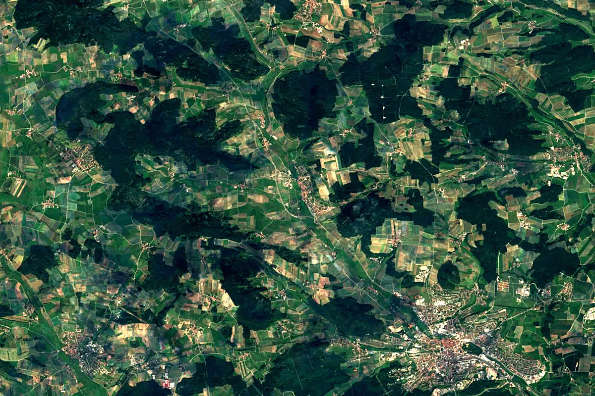
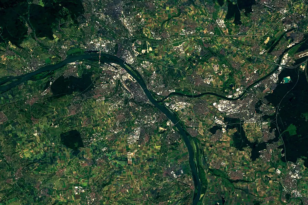
Sentinel-2 cloudless 2016 by EOX IT Services GmbH (contains modified Copernicus Sentinel data 2016), CC BY 4.0. The glowing line is the river as drawn by RiverATLAS.
Photos
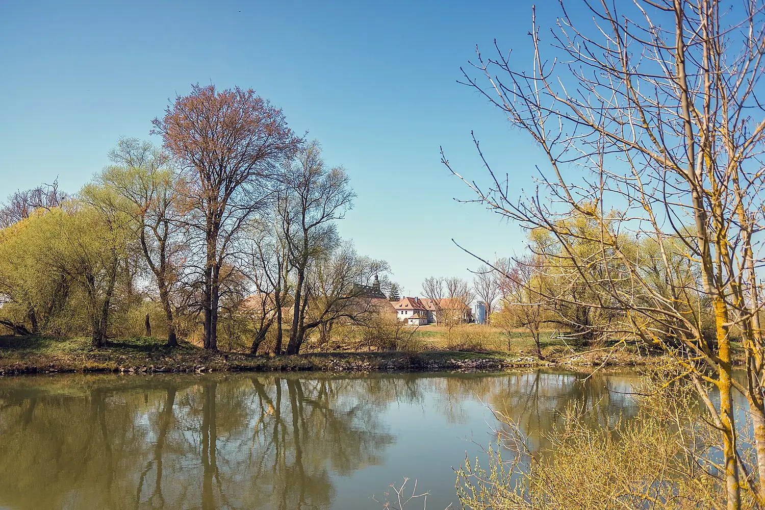
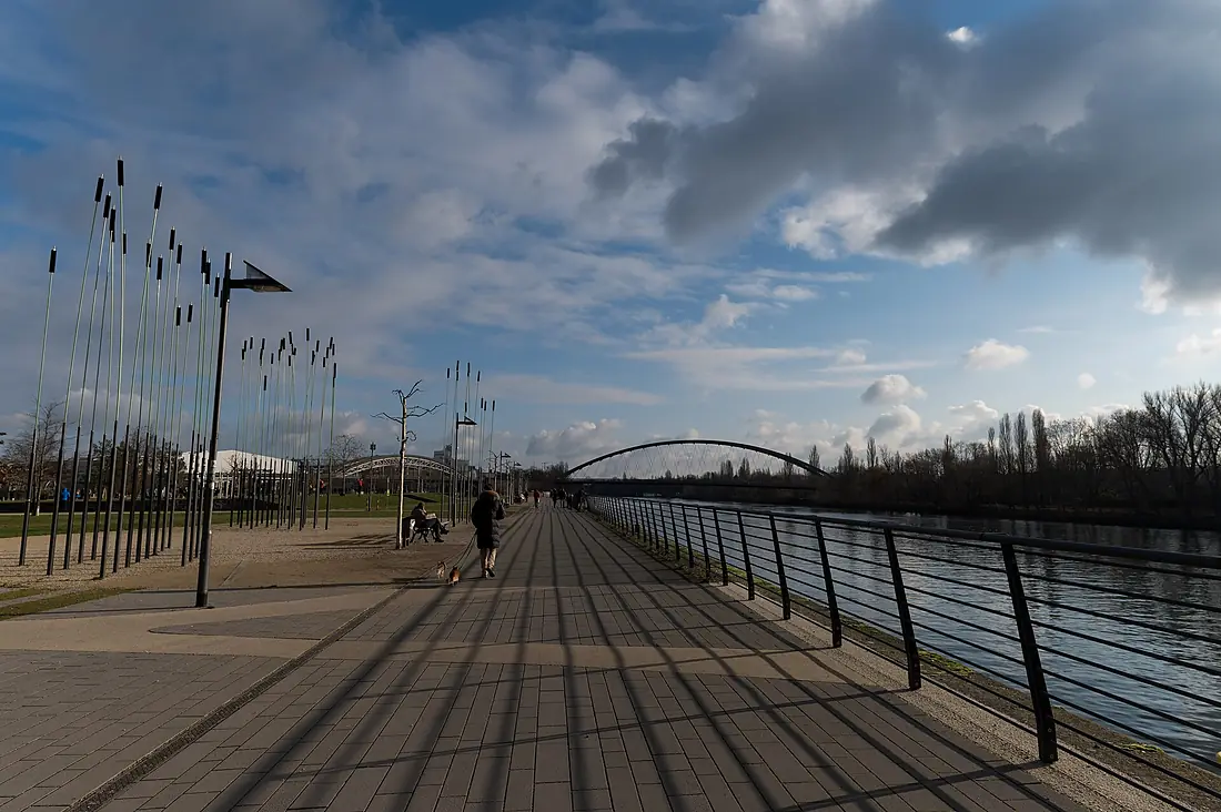
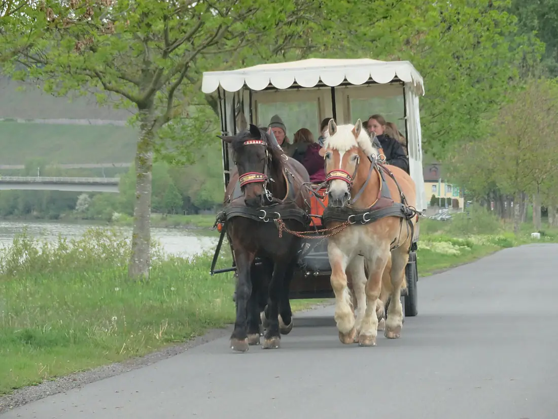
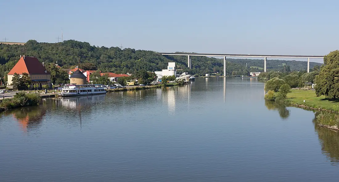
Main in pictures
Tributaries
Where it flows, and what flows into it
It flows into
Rhine The Netherlands1,233 km2,200 m³/s
Tributaries (86)
Germany131 km150 m³/sjoins at km 378NiddaGermany90 km13 m³/sjoins at km 500RegnitzGermany59 km51 m³/sjoins at km 159Also: Franconian Saale, Kinzig, Itz, Red Main, White Main, Rodach, Aschaff, Elsava, Aalbach, Baunach, Mümling, Kahl, Erlenbach, Gersprenz, Weismain, Wern, Haslochbach, Nassach, Lohr, Schwarzach, Breitbach, Forchbach, Unkenbach, Leitenbach
 Switzerland
 France
Nearby
Rivers nearby
Where these numbers come from
| Name, length, places | Wikidata (Q1670) · CC0 |
|---|---|
| Course, profile, basin | RiverATLAS v1.0 (HydroATLAS, Linke et al. 2019) · CC BY 4.0 — followed along the river network from the point given by Wikidata |
| Flow | WaterGAP (RiverATLAS), 1971–2000 · CC BY 4.0 |
| Climate along the river | WorldClim (RiverATLAS), 1970–2000 · CC BY 4.0 |
| Towns, bridges, dams | Wikidata · CC0; GeoNames · CC BY 4.0 |
| Along the river | © OpenStreetMap contributors · ODbL |
| Images | EOX Sentinel-2 cloudless 2016 · CC BY 4.0; Wikimedia Commons |
| Our other atlases | Lakeyas, Peakyas — Wikidata · CC0; © OpenStreetMap contributors · ODbL; GeoNames · CC BY 4.0; HydroLAKES · CC BY 4.0; NOAA OISST |
Every source and licence is on the data sources page.
The family
Do you prefer beaches, lakes, mountains, waterfalls, islands, rivers or canyons?
Same idea, other landscapes: field atlases built on open data, month by month, in seven languages.
 beaches
 Find your beach: sea temperature, sun and swimming month by month.Visit lakes
 Every lake on Earth: water temperature, ice, depth and the shore.Coming soonVisit mountains
 Every summit in 3D: summit weather, the 0 °C line, huts and trails.Visit
  waterfalls
 Every waterfall: height, flow month by month and when it roars.Coming soonVisit
  islands
 Every island from the sea up: size, sea temperature, ferries and 3D.Coming soonVisit
  rivers
 Every river from source to sea: the journey, the flow and the basin in numbers.You are here
 canyons
 Every canyon cut to scale: depth to the floor, rim and floor temperatures, trails and viewpoints.Coming soonVisit